
Stock image Drone Analysis
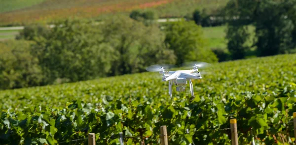
Drone Flying And Working For Ortophoto And Thermal Analysis Of PV Plants With Visual And Thermal Camera. UAV Are Used For Easy Aerial Inspections Of Solar, Wind And Hydro Renewable Energy Resources
Image, 5.5MB, 6720 × 4480 jpg
Drone Flying And Working For Ortophoto And Thermal Analysis Of PV Plants With Visual And Thermal Camera. UAV Are Used For Easy Aerial Inspections Of Solar, Wind And Hydro Renewable Energy Resources
Image, 5.18MB, 6080 × 4053 jpg

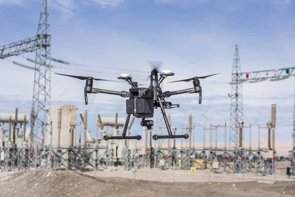
Drone Flying And Working For Ortophoto And Thermal Analysis Of PV Plants With Visual And Thermal Camera. UAV Are Used For Easy Aerial Inspections Of Solar, Wind And Hydro Renewable Energy Resources
Image, 5.82MB, 6720 × 4480 jpg
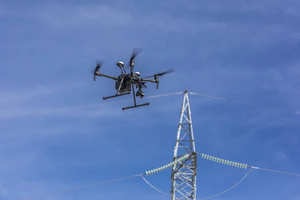
Drone Flying And Working For Ortophoto And Thermal Analysis Of PV Plants With Visual And Thermal Camera. UAV Are Used For Easy Aerial Inspections Of Solar, Wind And Hydro Renewable Energy Resources
Image, 8.6MB, 6720 × 4480 jpg

Drone Flying And Working For Ortophoto And Thermal Analysis Of PV Plants With Visual And Thermal Camera. UAV Are Used For Easy Aerial Inspections Of Solar, Wind And Hydro Renewable Energy Resources
Image, 3MB, 5539 × 3693 jpg
Drone Flying And Working For Ortophoto And Thermal Analysis Of PV Plants With Visual And Thermal Camera. UAV Are Used For Easy Aerial Inspections Of Solar, Wind And Hydro Renewable Energy Resources
Image, 3.44MB, 5600 × 3733 jpg
Drone Flying And Working For Ortophoto And Thermal Analysis Of PV Plants With Visual And Thermal Camera. UAV Are Used For Easy Aerial Inspections Of Solar, Wind And Hydro Renewable Energy Resources
Image, 1.82MB, 5527 × 3685 jpg
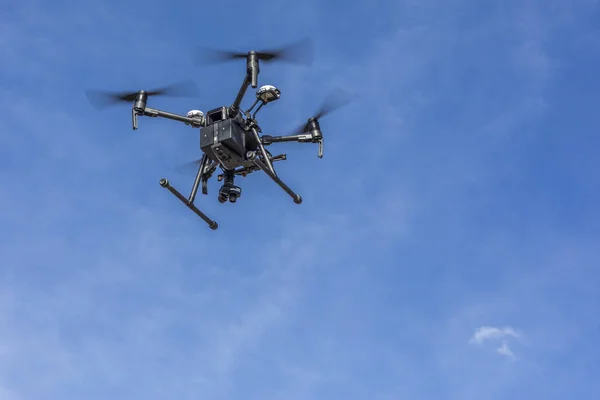
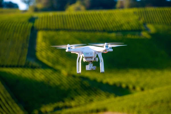
Drone Flying And Working For Ortophoto And Thermal Analysis Of PV Plants With Visual And Thermal Camera. UAV Are Used For Easy Aerial Inspections Of Solar, Wind And Hydro Renewable Energy Resources
Image, 2.31MB, 5524 × 3683 jpg
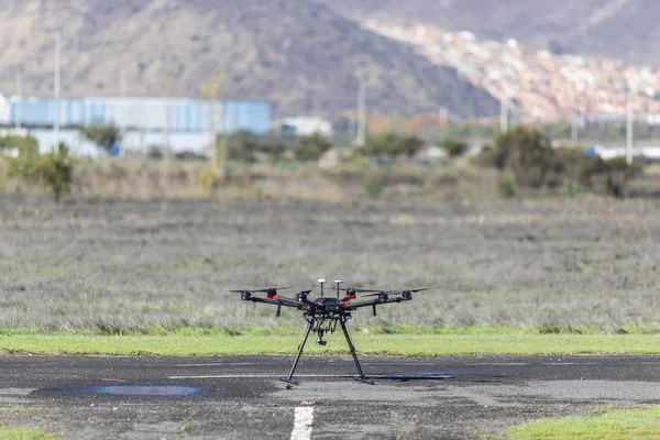
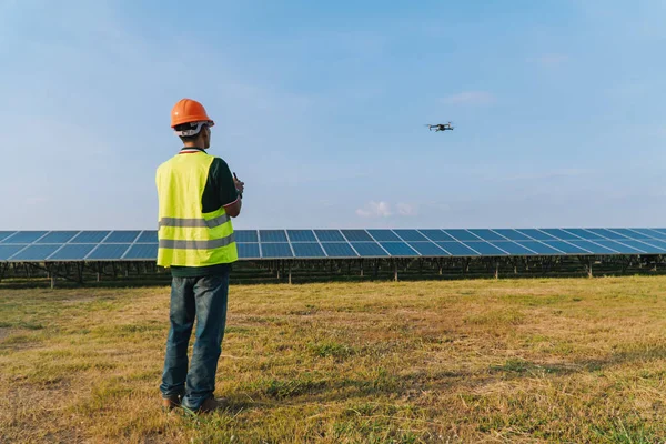
Drone Flying And Working For Ortophoto And Thermal Analysis Of PV Plants With Visual And Thermal Camera. UAV Are Used For Easy Aerial Inspections Of Solar, Wind And Hydro Renewable Energy Resources
Image, 3.06MB, 5832 × 3888 jpg

The Drone Flies Over The Surface Of The River. The Drone Is Used To Shoot A Report On An Environmental Disaster.
Image, 14.35MB, 4300 × 2867 jpg
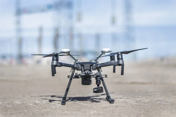
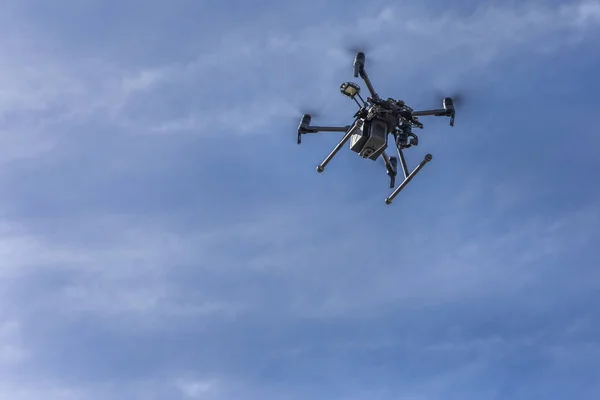
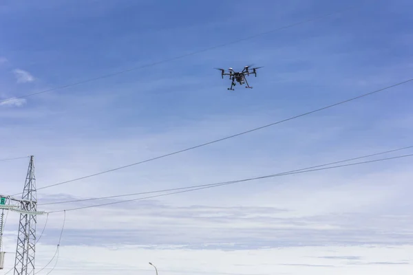
Drone Flying And Working For Ortophoto And Thermal Analysis Of PV Plants With Visual And Thermal Camera. UAV Are Used For Easy Aerial Inspections Of Solar, Wind And Hydro Renewable Energy Resources
Image, 6.1MB, 6720 × 4480 jpg
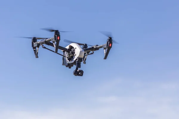
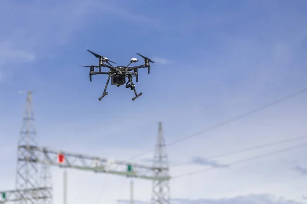
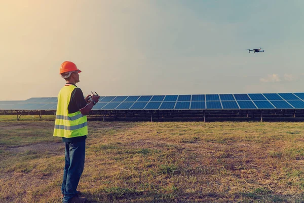
Drone Flying And Working For Ortophoto And Thermal Analysis Of PV Plants With Visual And Thermal Camera. UAV Are Used For Easy Aerial Inspections Of Solar, Wind And Hydro Renewable Energy Resources
Image, 4.61MB, 6720 × 4480 jpg


Engineers Use The Infrared Scanner Is Installed On The Drone To Check The Heat, Humidity, Irradiance To Analyze To Make Sure The System Is Working At Full Efficiency.
Image, 6.26MB, 6000 × 4000 jpg

Male Engineer Doing Inspection Using Drone - Technology And Industrial Concept
Image, 1.75MB, 3496 × 2317 jpg


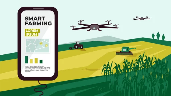
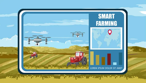
Smart Farming, Modern And High Tech Farmer And Agriculture Concept, Iot Green. Man Uses Tablet To Control Monitoring Drone
Vector, 4.7MB, 6785 × 5000 eps

View On Wheat Field From Quadrocopter. Smart Farming And Digital Agriculture
Image, 8.52MB, 3227 × 2268 jpg
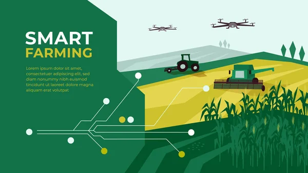
Smart Farm With Drone Control. Innovation Technology In Agriculture. Farming Illustration With Tractor, Corn Field. Template With Circuit Board For High Tech Agro Company. Design For Layout, Flyer, Ad
Vector, 5.59MB, 6667 × 3750 eps

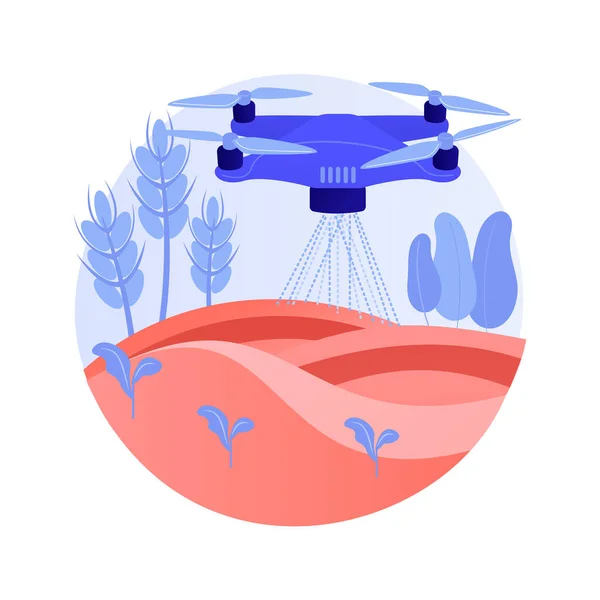
Agriculture Drone Use Abstract Concept Vector Illustration. Agriculture Precision Farming, First Responder, Analysis, Crops Spraying, Drone Surveillance, Irrigation Monitoring Abstract Metaphor.
Vector, 5.49MB, 7730 × 7730 eps


De Bilt, 8th Of February 2023, The Netherlands. Get A Glimpse Of The Prestigious KNMI In De Bilt, Dedicated To Weather And Climate Research.
Image, 14.14MB, 5280 × 3956 jpg

Artificial Intelligence Applications, Smart Devices, Robots And Automation: Network Of Isometric Objects Connecting Together
Vector, 11.05MB, 7000 × 3500 eps
Page 1 >> Next