
Stock image Drone Shot page 2


Aerial Drone Shot Of FKK Beach At Lake Jarun In Southeast Zagreb In Croatia
Image, 1.91MB, 4063 × 2707 jpg

AERIAL: Rear View Of Tractor Turning Mowed Hay With Hay Tedder At Autumn Sunset. Farmer Aerating Grass To Speed Up Drying As Part Of Haymaking Process. Raking And Tedding Hay In Beautiful Sunlight.
Image, 11.02MB, 5472 × 3078 jpg

Summer Riga City Sunrise 360 VR Drone Picture For Virtual Reality, Street Panorama
Image, 17.66MB, 10000 × 3821 jpg

Helicopter Drone Shot. Aerial Photography Of A Modern City Over An Area, A Large Crossroads, High-rise Buildings, A Park And Roads In Winter. Panoramic City 360 Shot From Above
Image, 7.78MB, 5152 × 3435 jpg
Drone Photo Of A Large Windmill With A Total Height Of 198 Meters With A Shaft Height Of 135 Meters. In The Background, The Wieringermeer Polder..Photo Taken At An Altitude Of 160 Meters
Image, 6.94MB, 3968 × 2976 jpg

AERIAL: Group Of Construction Workers Laying Asphalt Concrete On Yard And Road. Men In Uniform Asphalt Paving Driveway. Builders Preparing Terrain For Finishing Paving The Roadway In Morning Light.
Image, 11.57MB, 5472 × 3078 jpg

Aerial View With Flood Dam At The Zeeland Bridge With Landscape Of The National Park Oosterschelde Near Zierikzee. Provinz Of Zeeland In The Netherlands
Image, 7.02MB, 4032 × 3024 jpg

Aerial View With Stad Van De Zon, City Of The Sun In Heerhugowaard. Province Of North Holland In The Netherlands
Image, 8.11MB, 4032 × 3024 jpg
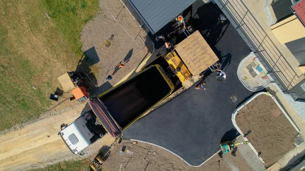
AERIAL TOP DOWN: Construction Workers Laying Fresh Asphalt On Yard With Driveway. Builders Preparing Terrain For Finishing Paving The Roadway In Morning Light. Men In Uniform Asphalt Paving Driveway.
Image, 12.08MB, 5472 × 3078 jpg

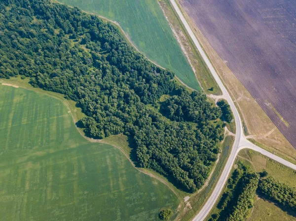
Helicopter Drone Shot. Aerial Photography Of Green Forest With Road, Green Grass.
Image, 4.35MB, 3000 × 2248 jpg
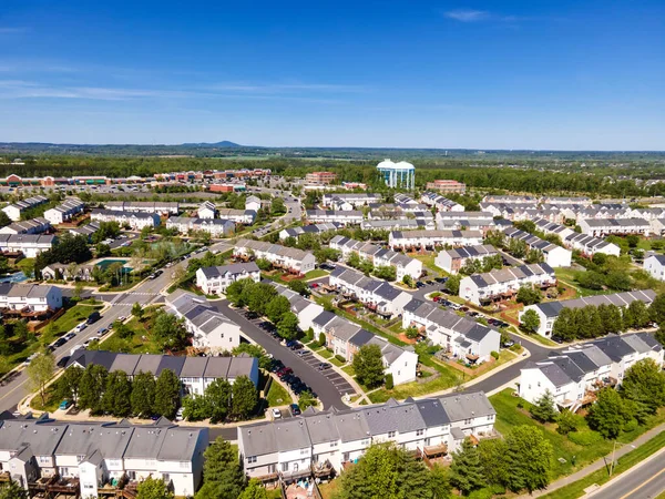
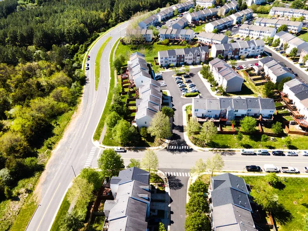
Aerial View Of Residential Houses At Spring (may). American Neighborhood, Suburb Leesburg.Virginia. Real Estate, Drone Shots, From Above
Image, 26.92MB, 8000 × 6000 jpg


Moselle Loop Calmont Mosel River Landscape Nature In Bremm Germany Travel
Image, 8.04MB, 5464 × 3640 jpg

A Drone Shot Of A Playground Park Surrounded By Green Trees And Plants
Image, 8.93MB, 4000 × 3000 jpg

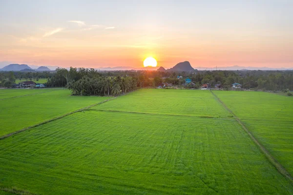
Aerial View Of Tractor , Combine Cultivating Field. Drone Shot. Picture With Space For Text
Image, 9.74MB, 3888 × 2184 jpg


Thessaloniki, Greece Landscape Drone Shot Of PAOK FC Toumba Stadium With Grass. Aerial Top Night View Of Football Court With Pitch & Team Name Written On The Stands, Without Fans.
Image, 7.35MB, 5100 × 3825 jpg

Top View Aerial Or Drone Shot Of An Overloaded Toll Road Or Tollway On The Controlled-access Highway At The Sunset.
Image, 7.73MB, 3186 × 2389 jpg

Drone Aerial View Of Australian Public Park And Sports Oval, South Australia.
Image, 3.41MB, 3744 × 2070 jpg

Summer Riga City Block Of Flats 360 VR Drone Picture For Virtual Reality, Street Panorama
Image, 49.05MB, 10000 × 9603 jpg

Stuttgart Grabkapelle Grave Chapel Rotenberg Autumn Fall Vineyard Travel In Germany Nature
Image, 10.29MB, 7500 × 3000 jpg
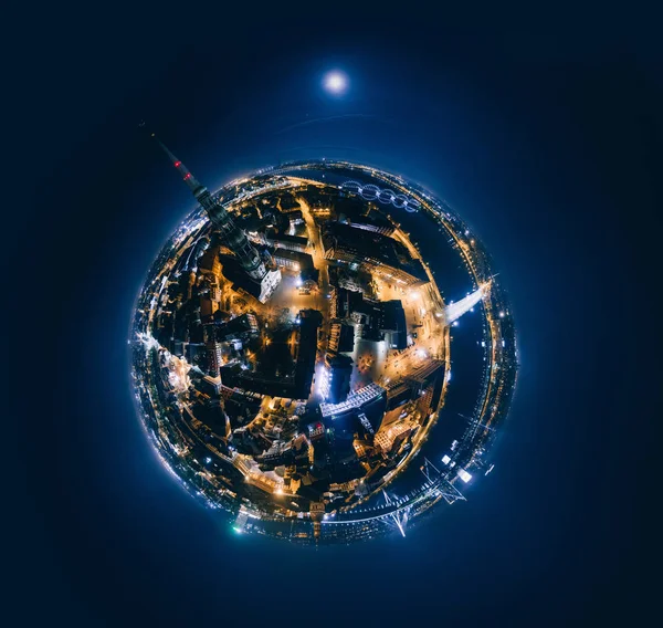
Old Riga Night Planet. Bridge Roads In Riga City 360 VR Drone Picture For Virtual Reality
Image, 20.34MB, 6679 × 6332 jpg

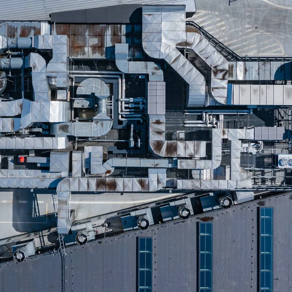
Ventilation System On The Building Roof. Rainy Weather. Industrial Air System Of Ventilation And Air Conditioning. Aerial Shot.
Image, 6.13MB, 2949 × 2949 jpg
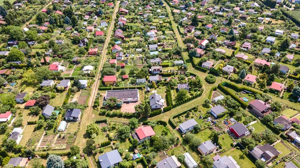
Wide Angle Aerial View Of Recreational And Vegetable Gardens In Ilawa, Poland, Photo Taken From Drone
Image, 11.19MB, 4000 × 2250 jpg

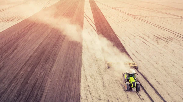
Aerial View Of Tractor , Combine Cultivating Field. Drone Shot. Picture With Space For Text
Image, 7.87MB, 3407 × 1914 jpg
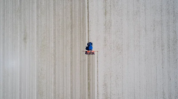
Aerial View Of Tractor , Combine Cultivating Field. Drone Shot. Picture With Space For Text. Farmland From Above
Image, 6.1MB, 3484 × 1956 jpg
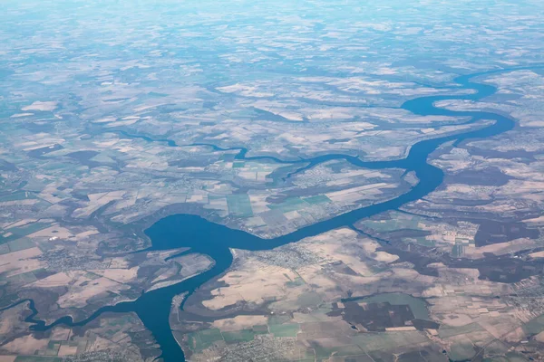
Aerial View Of Dnister River And Bakotska Bay In Ukraine . River And Tributaries View From The Top
Image, 10.46MB, 5222 × 3481 jpg

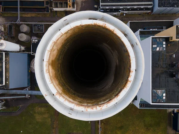
Coal Central Aerial Drone Shot Chimney Pipe Energy Recovery Plant Hemweg In Amsterdam The Netherlands Industrial Facility
Image, 6.72MB, 4000 × 3000 jpg

An Aerial View From The Drone Of A Neighborhood With Its Swimming Pools Inside A Forest In The City Seeing The Urban Planning Of The Area With Its Home And Streets Aligned
Image, 15.42MB, 5464 × 3640 jpg
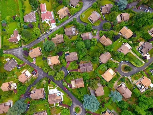
Aerial View Of Residential Houses At Summer. American Neighborhood, Suburb. Real Estate, Drone Shots, Sunset, Sunlight, From Above.
Image, 38.88MB, 8000 × 6000 jpg


Previous << Page 2 >> Next