
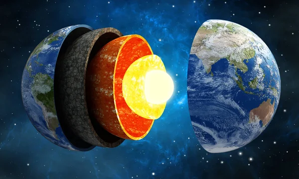
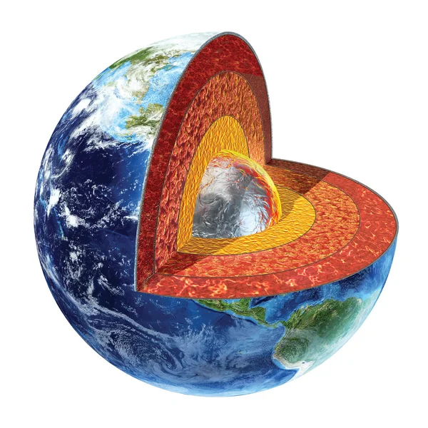
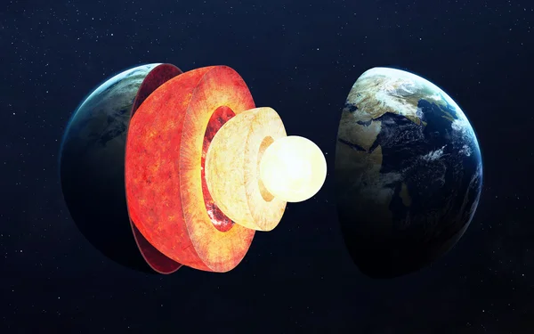
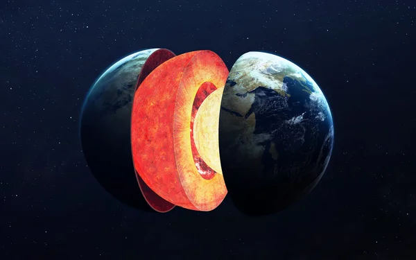
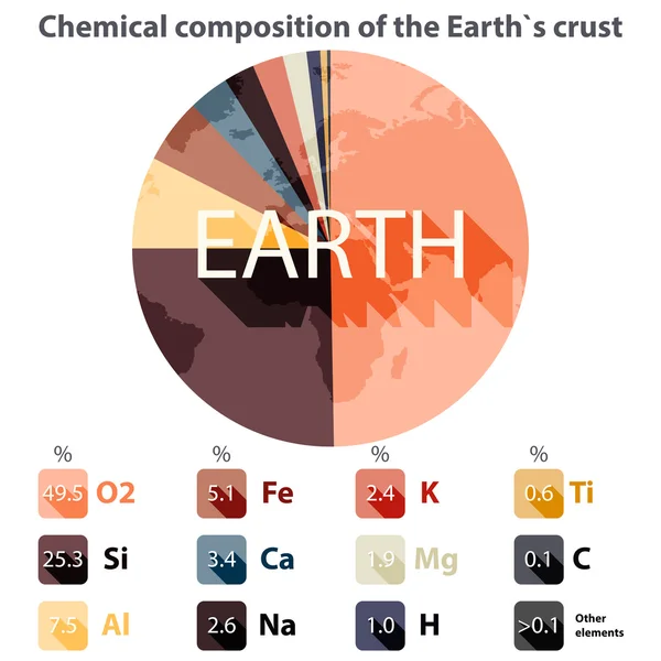
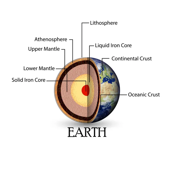
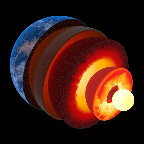
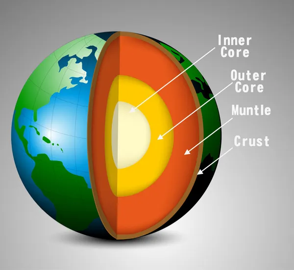
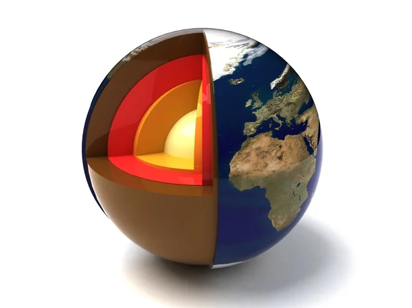
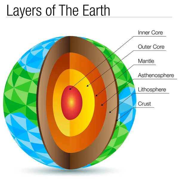
Stock image Earth Crust


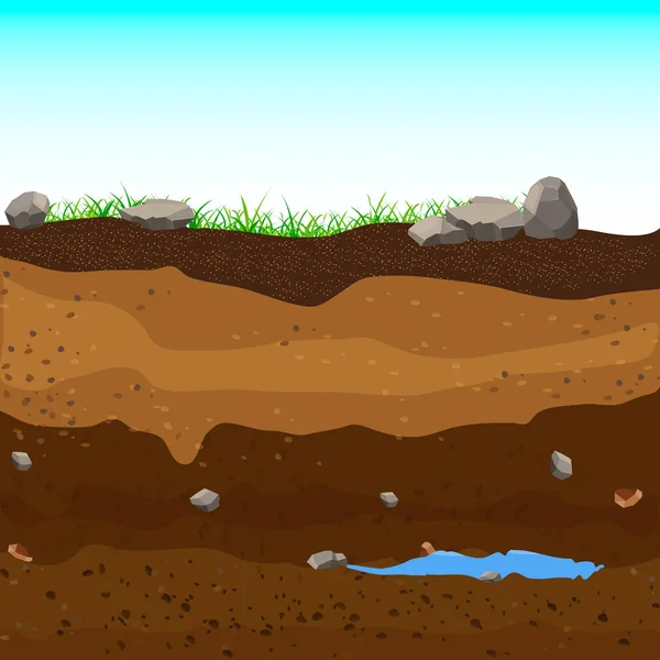
Underground Layers Of Earth, Groundwater,layers Of Grass.Vector Illustration.
Vector, 5.15MB, 5000 × 5000 eps


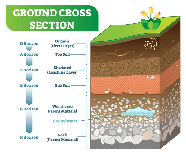
Ground Cross Section Vector Illustration With Organic, Topsoil, Subsoil And Other Horizon Levels.
Vector, 6.64MB, 4834 × 4056 eps
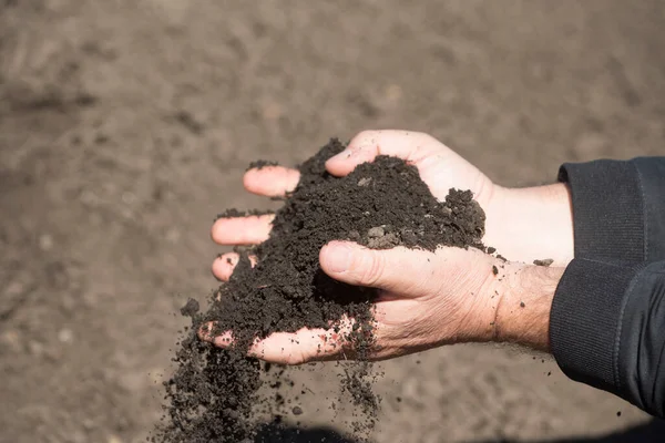
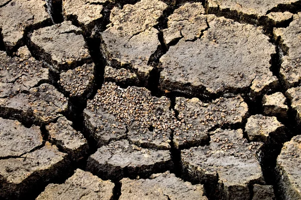
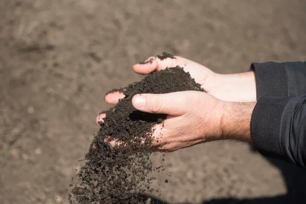
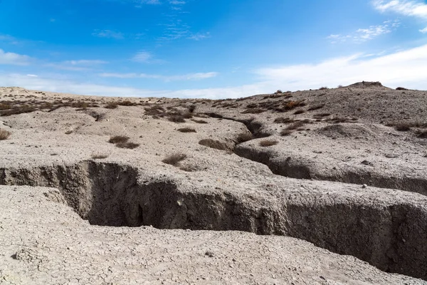
Soil Compaction Or Soil Structure Degradation As A Problem In Agriculture
Image, 2.25MB, 3920 × 2638 jpg
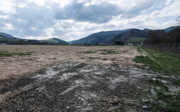
Soil Compaction Or Soil Structure Degradation As A Problem In Agriculture
Image, 2.22MB, 4922 × 3079 jpg

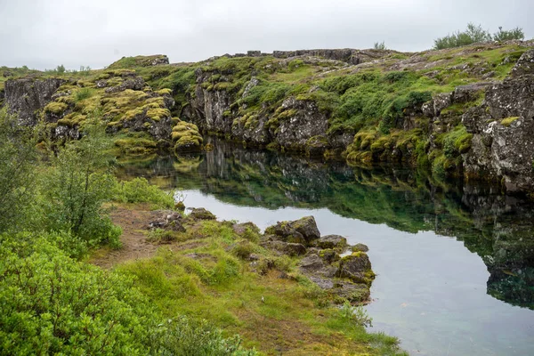
The Silfra Fissure, Ingvellir, Where The European And American Plates Meet. Thingvellir National Park Near Reykjavik, Iceland .
Image, 17.65MB, 6016 × 4016 jpg

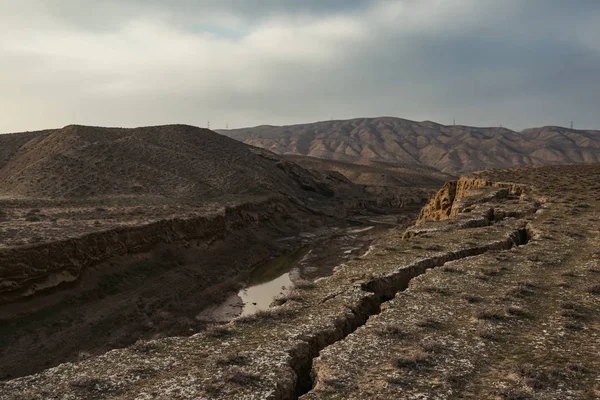
Granite Background, Plants In Stone, Abstract Stone Texture, Environmental Problems, Tectonic Plate Fracture, Earthquake Consequences, Cracks In Granite Rocks
Image, 18.85MB, 5184 × 3456 jpg
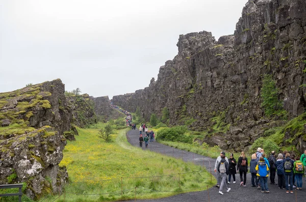
Thingvellir, Iceland - July 19, 2017: Tourists Walk Through The Almannagja Fault Line In The Mid-atlantic Ridge North American Plate In Thingvellir National Park. Iceland
Image, 13.83MB, 5644 × 3740 jpg

Granite Background, Plants In Stone, Abstract Stone Texture, Environmental Problems, Tectonic Plate Fracture, Earthquake Consequences, Cracks In Granite Rocks
Image, 19.22MB, 5184 × 3456 jpg

Granite Background, Plants In Stone, Abstract Stone Texture, Environmental Problems, Tectonic Plate Fracture, Earthquake Consequences, Cracks In Granite Rocks, Granite Pattern
Image, 18.45MB, 5184 × 3456 jpg
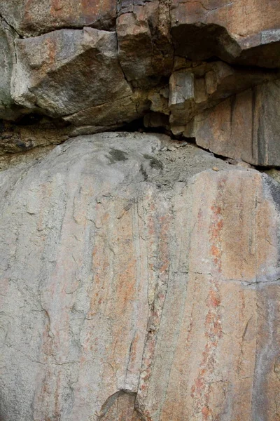
Granite Background, Plants In Stone, Abstract Stone Texture, Environmental Problems, Tectonic Plate Fracture, Earthquake Consequences, Cracks In Granite Rocks
Image, 12.98MB, 3320 × 4980 jpg

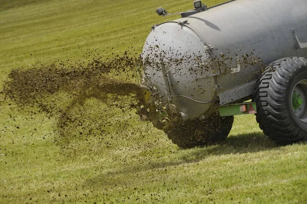
Liquid Manure From Animals As Fertilizer In Farming And Livestock Breeding
Image, 1MB, 4256 × 2832 jpg

Page 1 >> Next