
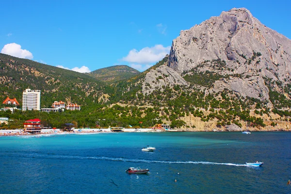
Stock image East Crimea

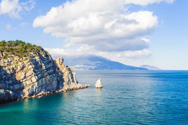
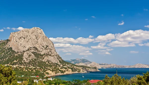

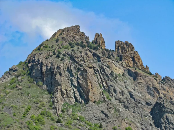
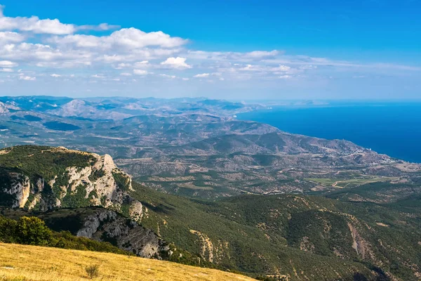
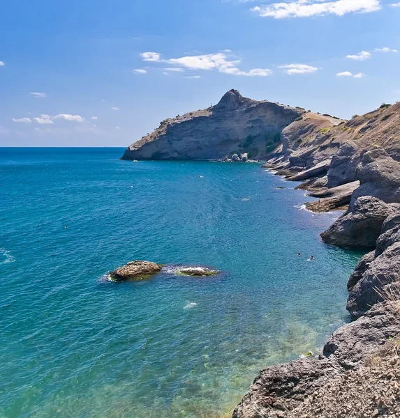
Amazing Landscape Of The Black Sea And The Karadag Mountain In Crimea, Ukraine
Image, 3.87MB, 2260 × 2363 jpg
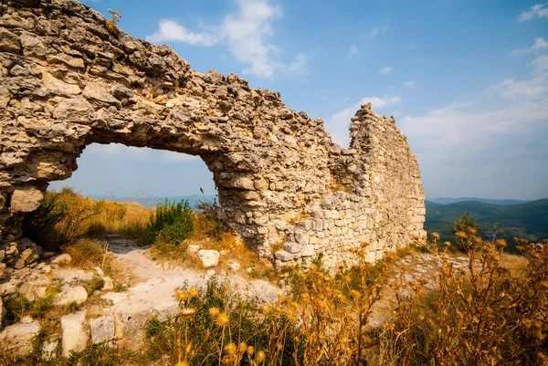
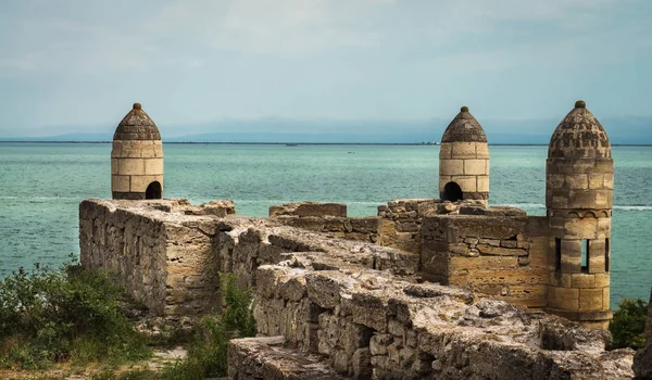
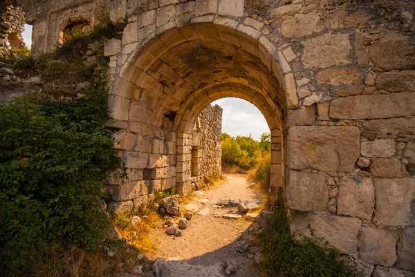
UKRAINE, CRIMEA - AUG 22.08. 2008: Mangup Kale (kale Means Fortress) Is A Historic Fortress In Crimea, Located On A Plateau About 9 Miles Due East Of Sevastopol.
Image, 9.26MB, 3872 × 2592 jpg


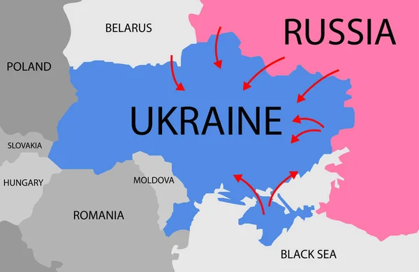

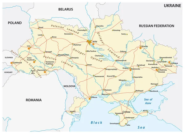
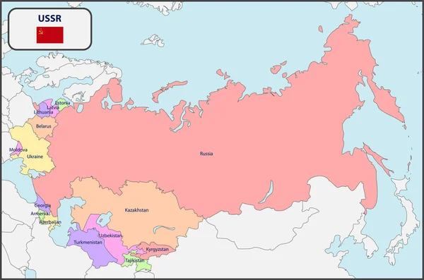
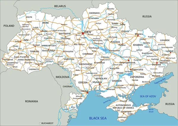
Map Illustrations Of Ukraine, Russia And Neighboring Countries ( Japanese)
Vector, 6.3MB, 8772 × 5876 eps
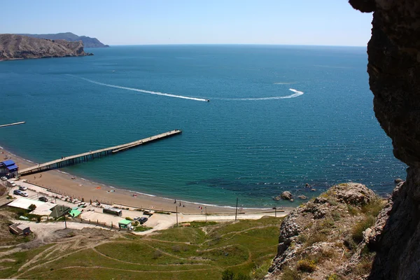
UKRAINE, CRIMEA - AUG 22.08. 2008: Mangup Kale (kale Means Fortress) Is A Historic Fortress In Crimea, Located On A Plateau About 9 Miles Due East Of Sevastopol.
Image, 7.9MB, 3872 × 2592 jpg
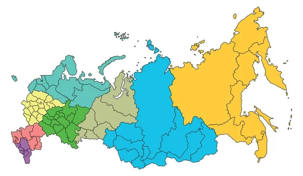
Map Of Far Eastern Federal District Russia Vector Silhouette Illustration Isolated. Regions: Sakha, Chukotka, Magadan, Kamchatka, Amur, Khabarovsk, Jewish Autonomus Region, Primorsky, Sakhalin.
Vector, 0.59MB, 4421 × 5626 eps
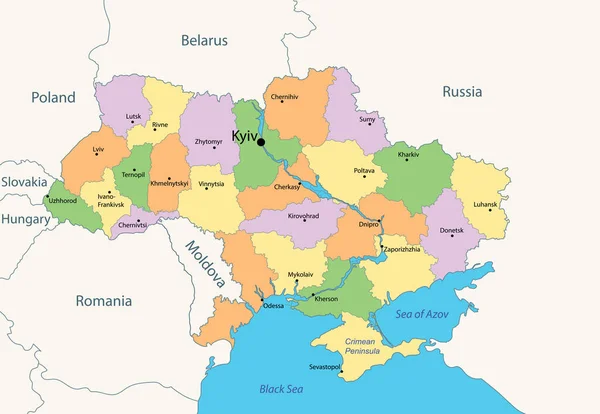
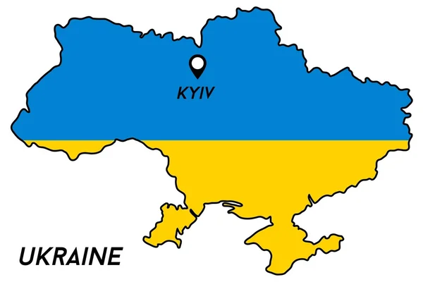
Administrative Map Of Ukraine With Colored Ukrainian Areas And Borders. Vector Illustration
Vector, 2.55MB, 5515 × 3814 eps


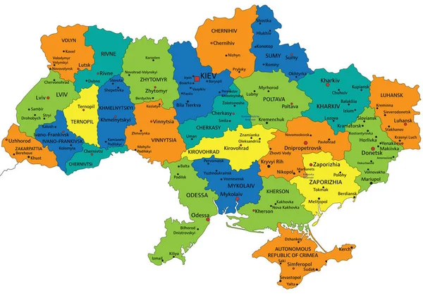
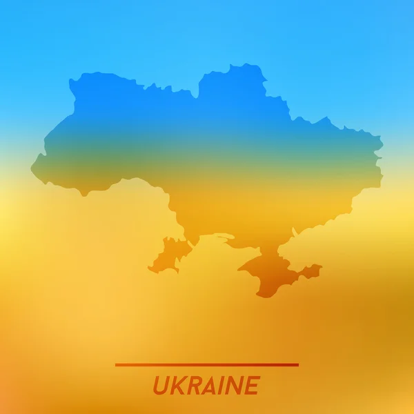
Colorful Ukraine Political Map With Clearly Labeled, Separated Layers. Vector Illustration.
Vector, 6.48MB, 5672 × 4005 eps


Colorful Ukraine Political Map With Clearly Labeled, Separated Layers. Vector Illustration.
Vector, 6.6MB, 5673 × 4007 eps
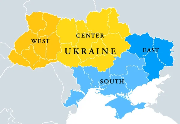
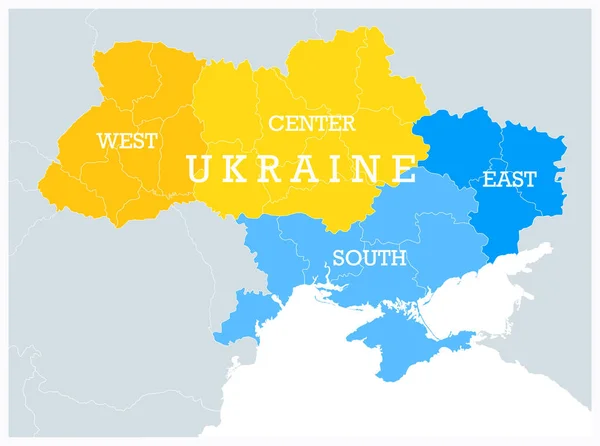
Ukraine Geographic Divisions, Political Map. Eastern European Country, Split Into Four Areas, Used In Polls, Or For Reference Or Statistical Purposes. Western, Eastern, Southern And Central Ukraine.
Vector, 2.6MB, 8685 × 6000 eps

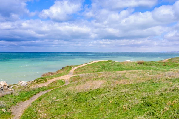
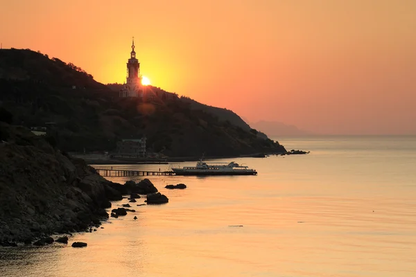
Scientific City At The White Lighthouse. Weather Station Near The Sea
Image, 17.14MB, 5616 × 3744 jpg

Ukraine Geographic Divisions, Political Map. Eastern European Country, Split Into Four Areas, Used In Polls, Or For Reference Or Statistical Purposes. Western, Eastern, Southern And Central Ukraine.
Vector, 2.61MB, 5460 × 4066 eps
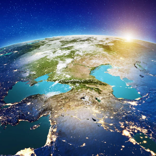
From Caucasus To Middle East. Elements Of This Image Furnished By NASA. 3d Rendering
Image, 0MB, 2500 × 2500 jpg
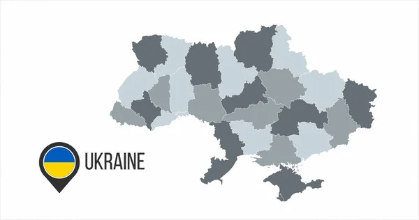
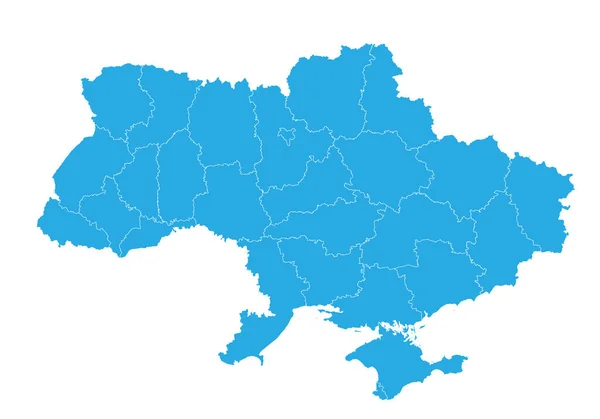
Map Of Ukraine With Divisions. Vector Illustration Isolated On White Background
Vector, 0.59MB, 6000 × 3164 eps

Mount Precipice In Nazareth In The Galilee Region In Israel. The Site Of The Rejection Of Jesus
Image, 11.44MB, 4608 × 3456 jpg
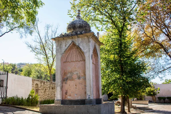
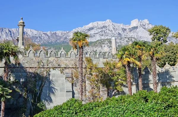
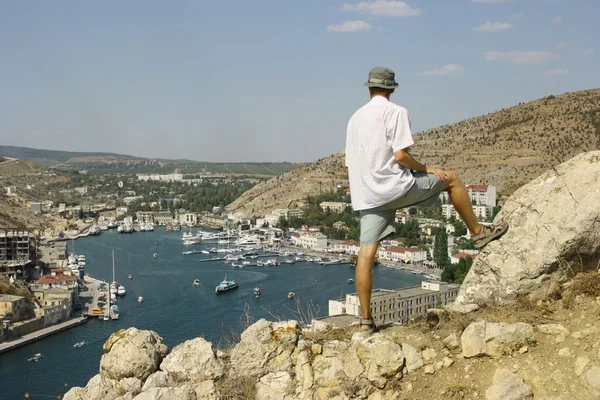
BAKHCHYSARAY, CRIMEA - SEPTEMBER 2014: The Khan's Palace Or Hansaray Is Bakhchysarai, Crimea. Historical And Cultural Reserve. Fountain In Honor Of The Arrival Of Alexander I In Bakhchisaray
Image, 3.1MB, 5184 × 3456 jpg
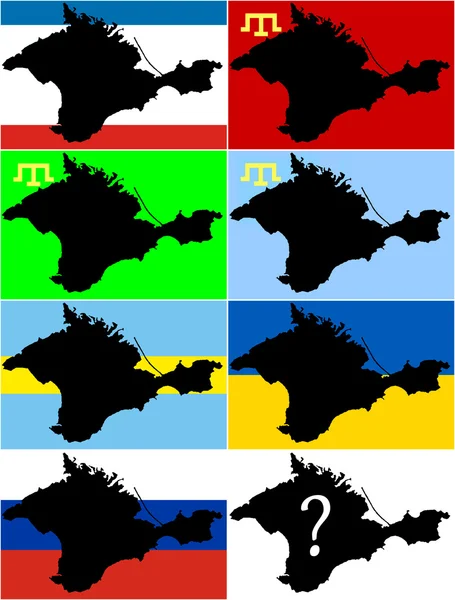
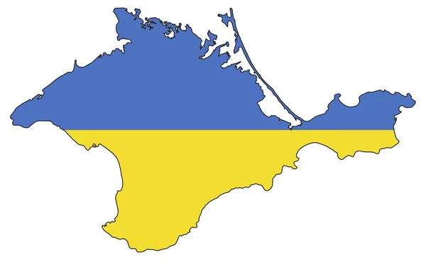
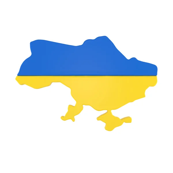
With The Russian Invasion Of The Crimean Peninsula In Ukraine On The 1st Of March 2014. What Flag From Past And Present Will Crimea Have As Its Future At The End Of This Conflict Between East And West
Image, 1.82MB, 3040 × 4000 jpg
Page 1 >> Next