
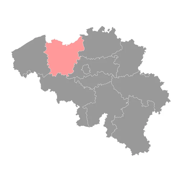
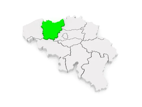
Stock image East Flander page 2


Blank Map Province East Flanders Of Belgium. High Quality Map East Flanders With Municipalities On Transparent Background For Your Web Site Design, Logo, App, UI. EPS10.
Vector, 6.44MB, 5000 × 5000 eps
East Flanders Province Map, Provinces Of Belgium. Vector Illustration.
Vector, 5.64MB, 4000 × 4000 eps

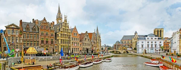
GHENT, BELGIUM - AUG 24, 2022: Architecture Of The Historic City Center Of Ghent In The Flemish Region Of Belgium, After Sunset
Image, 11.87MB, 8256 × 5504 jpg
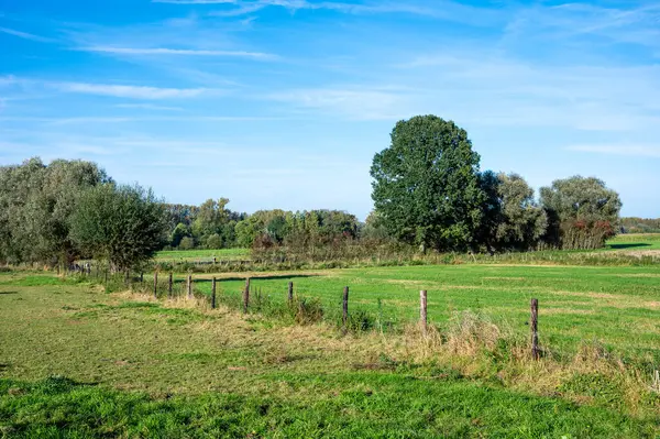
Diagonal Fence In The Green Fields Of The Agriculture Fields Around Aspelare, East Flemish Region, Belgium
Image, 10.24MB, 6048 × 4024 jpg


High Angle View On Rural And Agricultural Fields In Waasland Of East Flanders, Belgiuma
Image, 22.26MB, 5488 × 3659 jpg


GHENT, BELGIUM - AUG 24, 2022: Architecture Of The Historic City Center Of Ghent In The Flemish Region Of Belgium, After Sunset
Image, 11.38MB, 8256 × 5426 jpg

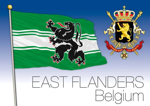
3d Flag East Flanders, Province Of Belgium, Isolated On Background With Copyspace
Vector, 8.3MB, 6000 × 4000 eps

Flock Of Geese In Flight Against A Clear Blue Sky In The Morning Over Waasland Nature In East Flanders, Belgium
Image, 7.12MB, 5568 × 3712 jpg


Ghent, Belgium Gravensteen Or Castle Of The Counts Against Cloudy Blue Sky
Image, 15.84MB, 4519 × 3013 jpg

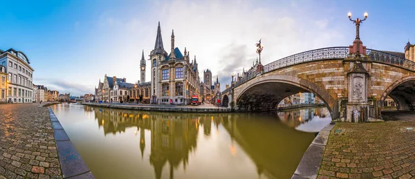
Drawing Sketch Illustration Of Ghent, Buildings Around Leie River, Northwest Belgium
Vector, 8.38MB, 5351 × 3835 eps

Summer View Of Vlassenbroek (North) Nature Reserve In East Flanders, Belgium. Situated Close To Dendermonde And Baasrode It Is Part Of The New Scheldt Valley National Park.
Image, 14.58MB, 5000 × 3333 jpg


Wide Angle Closeup On The New Modern Architecture Flanders Government Virginie Loveling Office Building, In Ghent Nearby The Railway Station
Image, 5.99MB, 4500 × 3000 jpg

DENDERMONDE, FLANDERS, BELGIUM - AUGUST 2024: Flag Parade On The14th Century Belfry Located In The Belgian City Of Dendermonde In The Flemish Province Of East Flanders, Building Is Now In Use As A Town Hall.
Image, 26.33MB, 6300 × 4200 jpg

A Pond Crossing Through The Poachers Forest A Large Forest In East Flanders Near The Dutch Border
Image, 29.67MB, 6960 × 4640 jpg


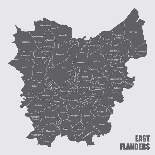
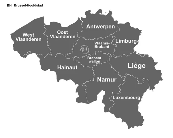
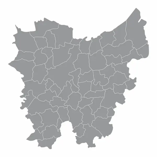
The Administrative Map Of East Flanders Province With Labels, Belgium
Vector, 9.07MB, 5000 × 5000 eps

Symbol Map Of The Province East Flanders (Belgium) Showing The State/province With A Pattern Of Black Squares Like A Chessboard
Vector, 0.59MB, 5865 × 6000 eps

An Intimate View Of A Pond In The Poachers Forest A Large Forest In East Flanders Near The Dutch Border
Image, 30.45MB, 4640 × 6960 jpg

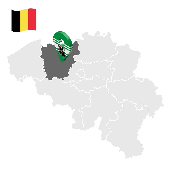
Location Of East Flanders On Map Belgium. 3d Location Sign Similar To The Flag Of East Flanders. Quality Map With Provinces Of Belgium For Your Design. EPS10.
Vector, 0.16MB, 5000 × 5000 eps

Geraardsbergen Town Centre, Pavement Quay And Pavement Near The River Dender.
Image, 5.46MB, 4032 × 1960 jpg


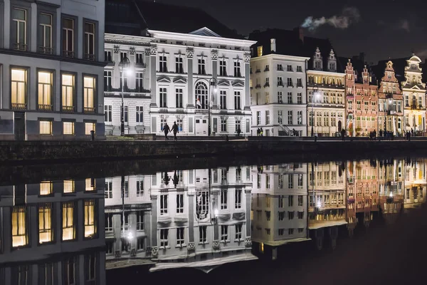
GHENT, BELGIUM - AUG 24, 2022: Architecture Of The Historic City Center Of Ghent In The Flemish Region Of Belgium, After Sunset
Image, 9.63MB, 8256 × 4400 jpg

Wide Angle Closeup On The New Modern Architecture Flanders Government Virginie Loveling Office Building, In Ghent Nearby The Railway Station
Image, 5.53MB, 4500 × 3000 jpg

Symbol Map Of The Province East Flanders (Belgium) Showing The Territory With Concentric Circles In Rainbow Colors Like A Shooting Target
Vector, 0.66MB, 5865 × 6000 eps

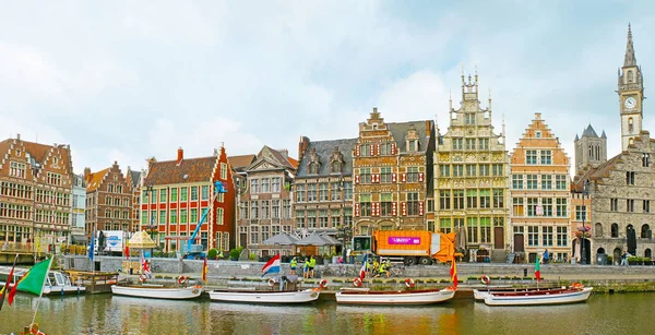
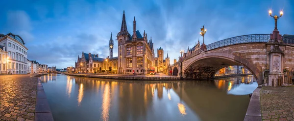
Ghent, Belgium Old Town Cityscape From The Graslei Area With River Cruise Boats At Twilight.
Image, 26.43MB, 8256 × 5504 jpg


Ghent , East-Flanders, Belgium 07 02 2024 Exterior Panorama Wide Angle Closeup On The Historic Gent-Sint-Pieters Public Transport Railway Station
Image, 5.43MB, 4500 × 2000 jpg
The Administrative Map Of East Flanders Province Isolated On White Background, Belgium
Vector, 8.19MB, 5000 × 5000 eps

High Angle View On Rural And Agricultural Fields In Waasland Of East Flanders, Belgiuma
Image, 23.24MB, 5290 × 3527 jpg

Beveren, Belgium, September 29th 2024: Aerial View On Waasland Rural Patchwork Farmland Area Mixed With Wind Turbines And Harbor Of Antwerp In The Far Distance During Sunrise
Image, 12.83MB, 5463 × 3642 jpg
Previous << Page 2 >> Next