photo free
Home Images Vectors Videos

Stock image Elba Map page 2

stock vector Road vector map of the Italian region Tuscany

Road Vector Map Of The Italian Region Tuscany

Vector, 1.05MB, 3100 × 3277 eps
stock vector Germany -  political map with separated layers.

Germany - Political Map With Separated Layers.

Vector, 7.71MB, 4101 × 5603 eps
stock vector Germany -  political map with separated layers.

Germany - Political Map With Separated Layers.

Vector, 7.89MB, 4107 × 5608 eps
stock vector Italy map glass card paper 3D vector

Italy Map Glass Card Paper 3D Vector

Vector, 10.47MB, 4000 × 3978 eps
stock vector Vintage sticker in form of Elba

Vintage Sticker In Form Of Elba

Vector, 1.8MB, 5500 × 5500 eps
stock image Italy political map card paper 3D natural raster individual state separate

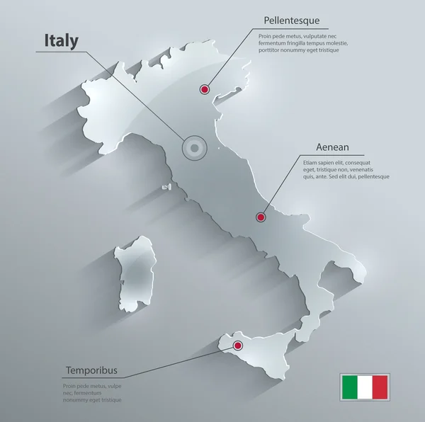
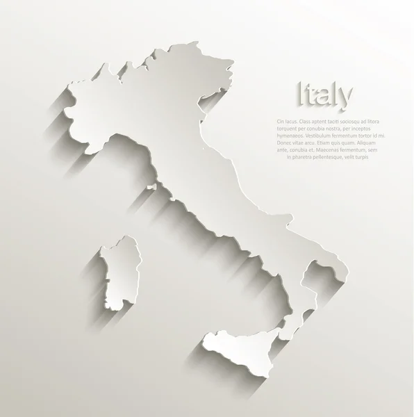
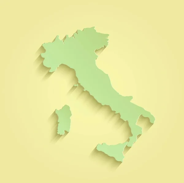
Italy Political Map Card Paper 3D Natural Raster Individual State Separate

Image, 1.39MB, 4022 × 4044 jpg
stock vector  Italy map administrative division separates regions and names individual region, design glass card 3D vector

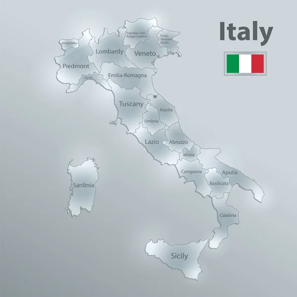
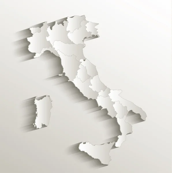
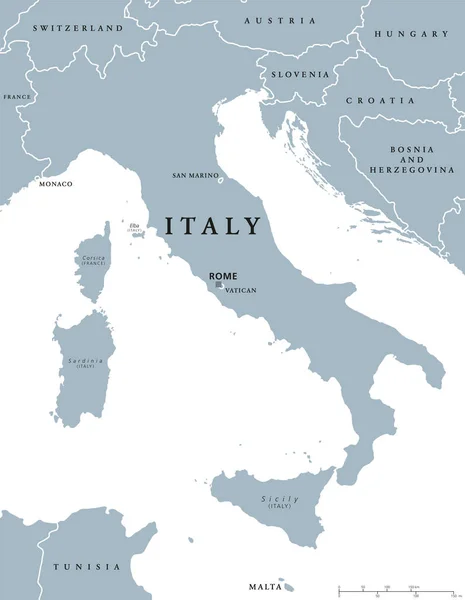
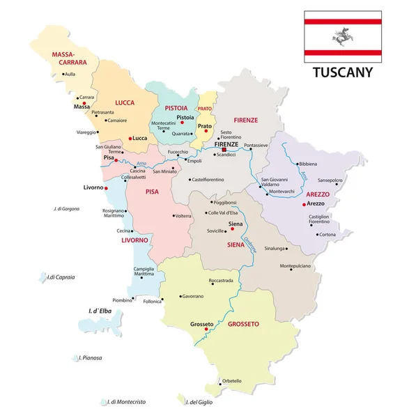
Italy Map Administrative Division Separates Regions And Names Individual Region, Design Glass Card 3D Vector

Vector, 2.67MB, 4000 × 4000 eps
stock vector Italy map card paper 3D natural vector

Italy Map Card Paper 3D Natural Vector

Vector, 1.39MB, 4000 × 4022 eps
stock vector Italy political map

Italy Political Map

Vector, 2.64MB, 7014 × 9033 eps
stock vector vector map of the two mediterranean sea islands of corsica and sardinia

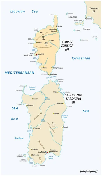
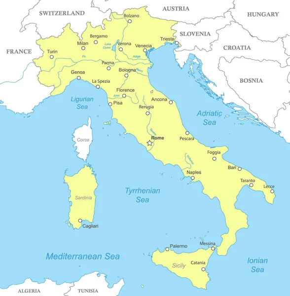
Vector Map Of The Two Mediterranean Sea Islands Of Corsica And Sardinia

Vector, 1.13MB, 3100 × 5317 eps
stock vector Alabama Coffee County Map

Alabama Coffee County Map

Vector, 0.71MB, 5000 × 3599 ai
stock vector Stickers in form of Elba Island, Italy

Stickers In Form Of Elba Island, Italy

Vector, 0.62MB, 5500 × 5500 eps
stock image Italy map yellow green raster

Italy Map Yellow Green Raster

Image, 0.75MB, 3986 × 3960 jpg
stock image Italy map card paper 3D natural raster

Italy Map Card Paper 3D Natural Raster

Image, 0.95MB, 4000 × 4022 jpg
stock vector Map of Elba

Map Of Elba

Vector, 0.04MB, 5000 × 4000 eps
stock vector tuscany administrative and political map with flag

Tuscany Administrative And Political Map With Flag

Vector, 1.06MB, 3199 × 3398 eps
stock vector Map of Elba

Map Of Elba

Vector, 0.05MB, 5000 × 4000 eps
stock vector Map of Elba

Map Of Elba

Vector, 0.04MB, 5000 × 4000 eps
stock vector Tuscan Archipelago, Italy, political map. Chain of islands between Ligurian Sea and Tyrrhenian Sea, west of Tuscany, between Corsica and Italian Peninsula. Most known islands are Elba and Montecristo.

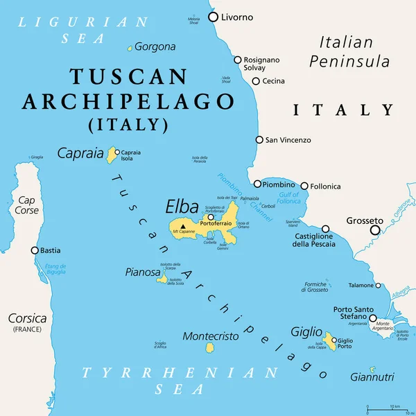
Tuscan Archipelago, Italy, Political Map. Chain Of Islands Between Ligurian Sea And Tyrrhenian Sea, West Of Tuscany, Between Corsica And Italian Peninsula. Most Known Islands Are Elba And Montecristo.

Vector, 2.66MB, 6000 × 6000 eps
stock image Isola d'Elba in the Tyrrhenian Sea - belonging to Italy. Described location diagram with yellow shape of the island and sample maps of its surroundings

Isola D'Elba In The Tyrrhenian Sea - Belonging To Italy. Described Location Diagram With Yellow Shape Of The Island And Sample Maps Of Its Surroundings

Image, 2.04MB, 3840 × 2160 jpg
stock image Isola d'Elba in the Tyrrhenian Sea, belonging to Italy, isolated on a satellite image taken in September 30, 2021, with distance scale

Isola D'Elba In The Tyrrhenian Sea, Belonging To Italy, Isolated On A Satellite Image Taken In September 30, 2021, With Distance Scale

Image, 1.44MB, 2160 × 2160 jpg
stock image Isola d'Elba in the Tyrrhenian Sea, belonging to Italy, isolated on a bilevel elevation map, with distance scale

Isola D'Elba In The Tyrrhenian Sea, Belonging To Italy, Isolated On A Bilevel Elevation Map, With Distance Scale

Image, 0.44MB, 2160 × 2160 jpg
stock vector Political map of Italy with national borders, cities and rivers

Political Map Of Italy With National Borders, Cities And Rivers

Vector, 2.76MB, 4000 × 4080 eps
stock image Isola d'Elba in the Tyrrhenian Sea on a satellite image taken in June 27, 2023

Isola D'Elba In The Tyrrhenian Sea On A Satellite Image Taken In June 27, 2023

Image, 3.65MB, 2880 × 1620 jpg
stock image Isola d'Elba in the Tyrrhenian Sea on a colored elevation map

Isola D'Elba In The Tyrrhenian Sea On A Colored Elevation Map

Image, 0.87MB, 2880 × 1620 jpg
stock image Isola d'Elba in the Tyrrhenian Sea on a topographic, OSM Humanitarian style map

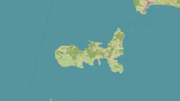
Isola D'Elba In The Tyrrhenian Sea On A Topographic, OSM Humanitarian Style Map

Image, 1.03MB, 2880 × 1620 jpg
stock image Isola d'Elba in the Tyrrhenian Sea, belonging to Italy, isolated on a topographic, OSM Humanitarian style map, with distance scale

Isola D'Elba In The Tyrrhenian Sea, Belonging To Italy, Isolated On A Topographic, OSM Humanitarian Style Map, With Distance Scale

Image, 1.08MB, 2160 × 2160 jpg
Previous << Page 2 >> Next