
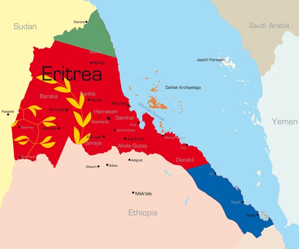
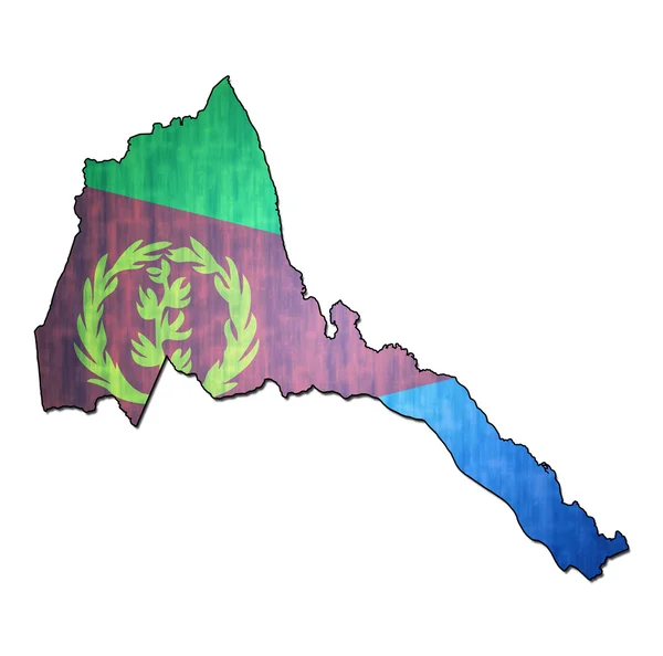
Stock image Eritrea Map


Eritrea Country Simplified Map.Thin Triple Pencil Sketch Outline Isolated On White Background. Simple Vector Icon
Vector, 0.26MB, 8000 × 8000 eps


Eritrea Map Vintage Stamp Retro Style Handmade Label Eritrea Badge Or Element For Travel
Vector, 13.9MB, 8333 × 8333 eps

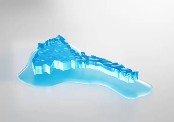
Water Ice Map Of Eritrea Global Warming Melting Glacier In Deep Ocean Blue Water 3d Illustration
Image, 1.05MB, 3400 × 2400 jpg
Water Ice Map Of Eritrea Global Warming Melting Glacier In Deep Ocean Blue Water 3d Illustration
Image, 1.09MB, 3400 × 2400 jpg


Eritrea Water Map With Drainage Metal Sink Save Water And Water Wastage Concept 3D Illustration
Image, 2MB, 2500 × 2500 jpg


Water Ice Map Of Eritrea Global Warming Melting Glacier In Deep Ocean Blue Water 3d Illustration
Image, 0.99MB, 3400 × 2400 jpg

Water Ice Map Of Eritrea Global Warming Melting Glacier In Deep Ocean Blue Water 3d Illustration
Image, 1.05MB, 3400 × 2400 jpg

Hand Drawn Map Of The State Of Eritrea. A Country Located In East Africa On The Red Sea Coast. Vector Illustration.
Vector, 0.34MB, 5730 × 3279 eps

Illuminated Eritrea Data Map Neon Blue Light On Seamless Pattern Background 3D Illustration
Image, 2.22MB, 2975 × 2100 jpg

Eritrea Water Map With Drainage Metal Sink Save Water And Water Wastage Concept 3D Illustration
Image, 1.88MB, 2500 × 2500 jpg

Eritrea - Detailed Map Of The Country In Brown Colors, Divided Into Regions. Vector Illustration
Vector, 0.78MB, 6370 × 5333 eps


A Closeup Shot Of The Waving Flag Of Eritrea With Interesting Textures
Image, 13.45MB, 7000 × 4000 jpg


Vector Isometric Maps Set - Africa Continent. Maps Of African Countries With Administrative Division And Cities. Part 2.
Vector, 10.57MB, 5600 × 3500 eps

Vector Illustration Of Africa Black Outline Map With Countries. Vector Map.
Vector, 0.99MB, 4500 × 4500 eps
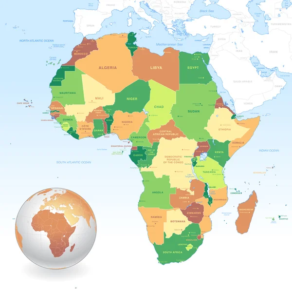
Africa Map Colorful, New Political Detailed Map, Separate Individual States, With State City And Sea Names, Natural Paper 3D Shadow Blank
Image, 1.61MB, 4231 × 4000 jpg
Page 1 >> Next