photo free
Home Images Vectors Videos

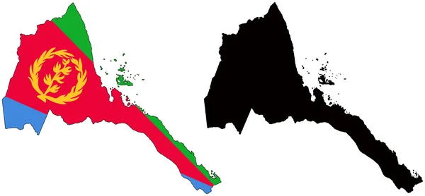
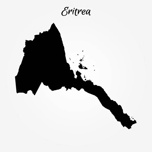
Stock image Eritrea Outline

stock vector Outline Simple Map of Eritrea

Outline Simple Map Of Eritrea

Vector, 0.39MB, 2401 × 2401 eps
stock vector Africa contoured map with highlighted Kenya.

Africa Contoured Map With Highlighted Kenya.

Vector, 1.26MB, 5000 × 5000 eps
stock vector Vector illustration of Africa black outline map with countries. Vector map.

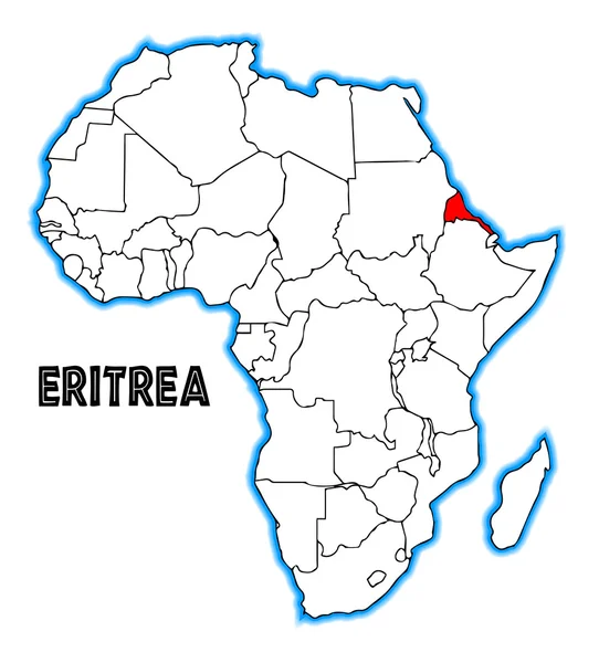
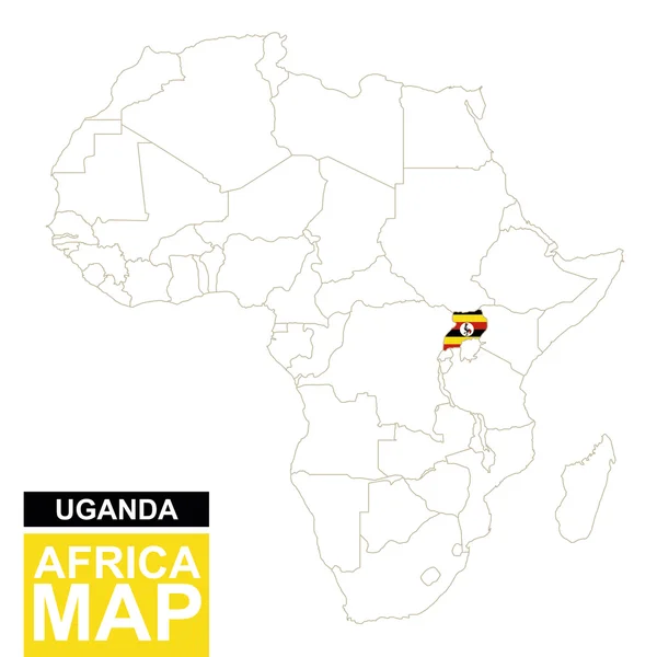
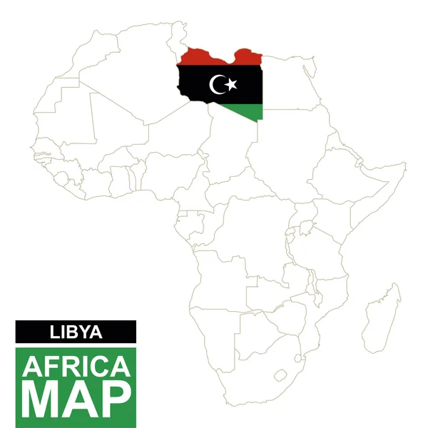
Vector Illustration Of Africa Black Outline Map With Countries. Vector Map.

Vector, 0.99MB, 4500 × 4500 eps
stock vector Eritrea

Eritrea

Vector, 0.33MB, 6158 × 2855 eps
stock vector Eritrea

Eritrea

Vector, 0.22MB, 4000 × 4000 eps
stock vector Eritrea

Eritrea

Vector, 4.17MB, 4433 × 4900 eps
stock vector Eritrea map

Eritrea Map

Vector, 8.58MB, 7004 × 7004 eps
stock vector Map of Eritrea

Map Of Eritrea

Vector, 0.62MB, 6000 × 6000 eps
stock vector Map of Eritrea. Vector illustration. World map

Map Of Eritrea. Vector Illustration. World Map

Vector, 0.74MB, 6250 × 5000 eps
stock vector Africa contoured map with highlighted Uganda.

Africa Contoured Map With Highlighted Uganda.

Vector, 1.29MB, 5000 × 5000 eps
stock vector African country set

African Country Set

Vector, 12.98MB, 7000 × 6999 eps
stock vector All maps of world countries and flags . Set 3 of 10 . Collection of outline shape of international country map with shadow . Flat design . Vector .

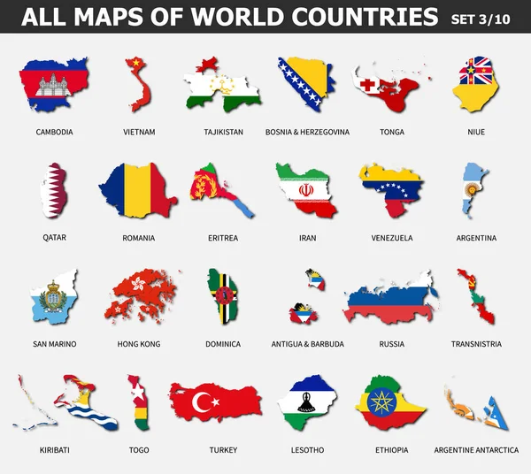
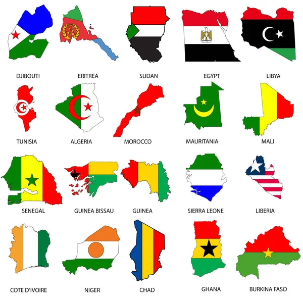
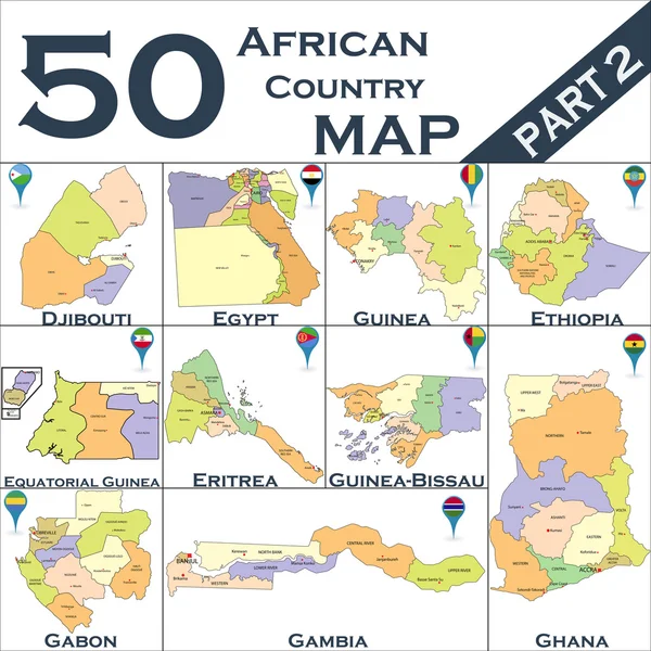
All Maps Of World Countries And Flags . Set 3 Of 10 . Collection Of Outline Shape Of International Country Map With Shadow . Flat Design . Vector .

Vector, 7.63MB, 5587 × 5000 eps
stock image Africa map colorful, new political detailed map, separate individual states, with state city and sea names, natural paper 3D shadow blank

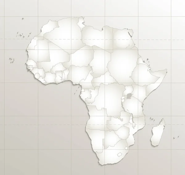
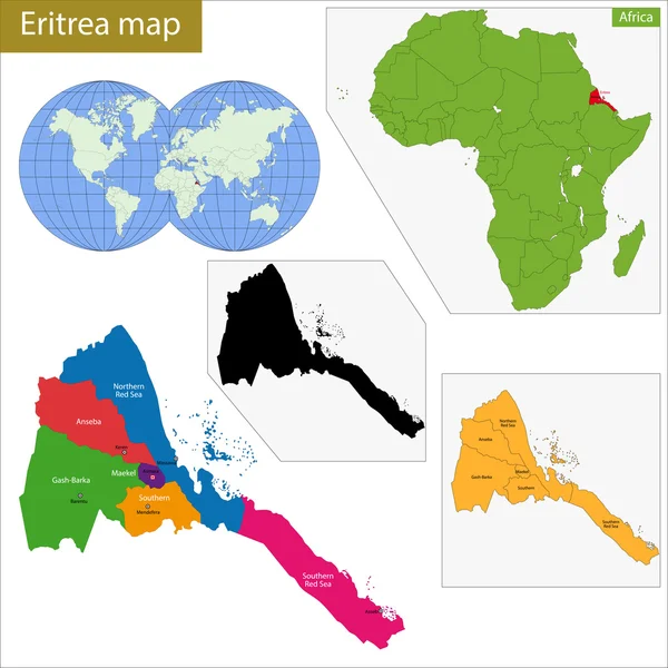
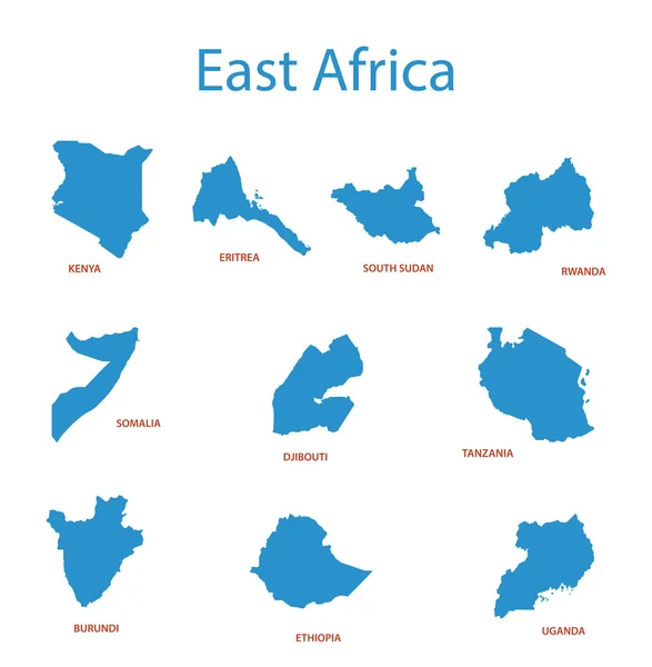
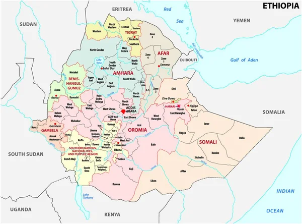
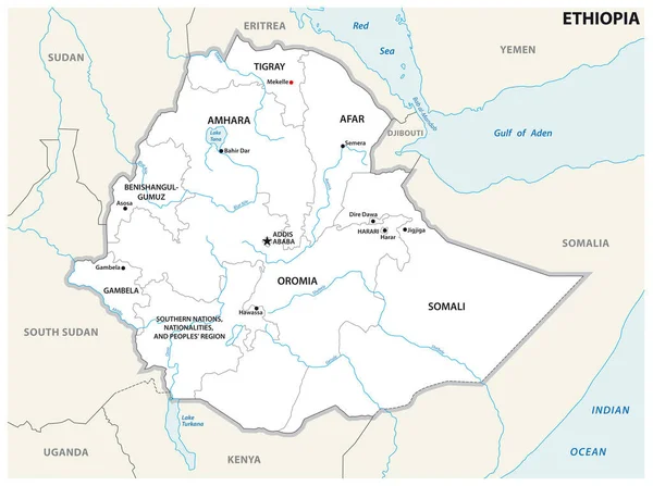
Africa Map Colorful, New Political Detailed Map, Separate Individual States, With State City And Sea Names, Natural Paper 3D Shadow Blank

Image, 1.61MB, 4231 × 4000 jpg
stock vector Africa contoured map with highlighted Djibouti.

Africa Contoured Map With Highlighted Djibouti.

Vector, 1.26MB, 5000 × 5000 eps
stock vector Map of Eritrea

Map Of Eritrea

Vector, 0.4MB, 5000 × 5000 eps
stock image Illustrated Outlines of Countries with Flag inside them

Illustrated Outlines Of Countries With Flag Inside Them

Image, 0MB, 4000 × 4000 jpg
stock vector Map of Eritrea

Map Of Eritrea

Vector, 0.69MB, 6000 × 6000 eps
stock vector African country set

African Country Set

Vector, 7.94MB, 7000 × 6999 eps
stock vector African country set

African Country Set

Vector, 10.76MB, 7000 × 6979 eps
stock vector Africa contoured map with highlighted Libya.

Africa Contoured Map With Highlighted Libya.

Vector, 1.26MB, 5000 × 5000 eps
stock vector Saudi Arabia highly detailed vector map with administrative regions, main cities and roads.

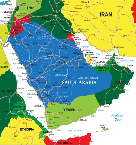
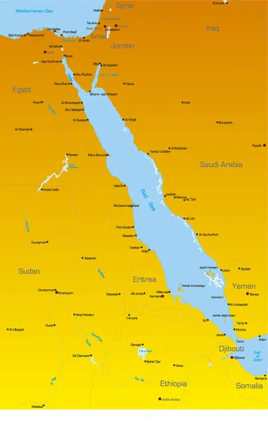
Saudi Arabia Highly Detailed Vector Map With Administrative Regions, Main Cities And Roads.

Vector, 3.22MB, 4674 × 5000 eps
stock vector Highly detailed vector map of Yemen with administrative regions, main cities and roads.

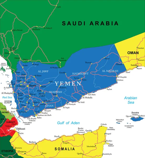
Highly Detailed Vector Map Of Yemen With Administrative Regions, Main Cities And Roads.

Vector, 2.24MB, 4614 × 5000 eps
stock vector Map of Eritrea

Map Of Eritrea

Vector, 6.05MB, 7500 × 6000 eps
stock vector east africa map with flags

East Africa Map With Flags

Vector, 1.41MB, 4348 × 4108 eps
stock vector Map of Eritrea

Map Of Eritrea

Vector, 0.72MB, 7500 × 6000 eps
stock vector African country set

African Country Set

Vector, 10.61MB, 7000 × 6999 eps
stock vector Vector map of Africa with flags

Vector Map Of Africa With Flags

Vector, 2.19MB, 5000 × 5000 eps
stock vector Republic of the Sudan road vector map

Republic Of The Sudan Road Vector Map

Vector, 0.95MB, 3749 × 3100 eps
stock vector east africa - vector maps of territories

East Africa - Vector Maps Of Territories

Vector, 0.27MB, 6389 × 6526 eps
stock vector Ethiopia administrative and political map

Ethiopia Administrative And Political Map

Vector, 0MB, 4000 × 3818 zip
stock vector Red Sea region countries

Red Sea Region Countries

Vector, 1.37MB, 2373 × 3761 eps
stock vector Ethiopia administrative and political map

Ethiopia Administrative And Political Map

Vector, 0.88MB, 4160 × 3100 eps
stock vector Map of Eritrea. Vector illustration

Map Of Eritrea. Vector Illustration

Vector, 0.66MB, 6250 × 5000 eps
stock vector Hand-drawn Injera bread illustration. Flatbread, usually known in Eritrea. Vector drawing series.

Hand-drawn Injera Bread Illustration. Flatbread, Usually Known In Eritrea. Vector Drawing Series.

Vector, 0.69MB, 5334 × 5334 eps
stock vector Eritrea country simplified map.Thin triple pencil sketch outline isolated on white background. Simple vector icon

Eritrea Country Simplified Map.Thin Triple Pencil Sketch Outline Isolated On White Background. Simple Vector Icon

Vector, 0.26MB, 8000 × 8000 eps
stock vector Eritrea outline map isolated on white background

Eritrea Outline Map Isolated On White Background

Vector, 8.11MB, 5000 × 4440 eps
stock vector Abstract map of Eritrea showing the country with concentric rings in rainbow colors.

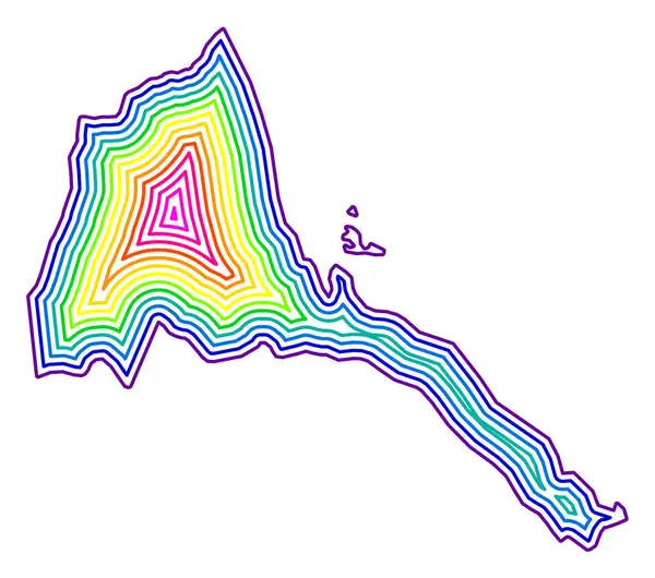
Abstract Map Of Eritrea Showing The Country With Concentric Rings In Rainbow Colors.

Vector, 0.67MB, 2400 × 2120 eps
stock vector Gash Barka region map, administrative division of Eritrea. Vector illustration.

Gash Barka Region Map, Administrative Division Of Eritrea. Vector Illustration.

Vector, 5.3MB, 8334 × 8334 eps
stock image Halib Island in the Red Sea, belonging to Eritrea, isolated on a satellite image taken in November 26, 2023, with distance scale

Halib Island In The Red Sea, Belonging To Eritrea, Isolated On A Satellite Image Taken In November 26, 2023, With Distance Scale

Image, 0.89MB, 2160 × 2160 jpg
stock image Dahlak Kebir Island in the Red Sea, belonging to Eritrea, isolated on a bilevel elevation map, with distance scale

Dahlak Kebir Island In The Red Sea, Belonging To Eritrea, Isolated On A Bilevel Elevation Map, With Distance Scale

Image, 0.34MB, 2160 × 2160 jpg
stock image Nora Island in the Red Sea on a bilevel elevation map

Nora Island In The Red Sea On A Bilevel Elevation Map

Image, 0.23MB, 2880 × 1620 jpg
stock vector Eritrea region map vector illustration symbol design

Eritrea Region Map Vector Illustration Symbol Design

Vector, 0.98MB, 8333 × 8333 eps
stock vector Panorama of the streets of Eritrea. Buildings and landmarks of the African country. Vector illustration for different uses.

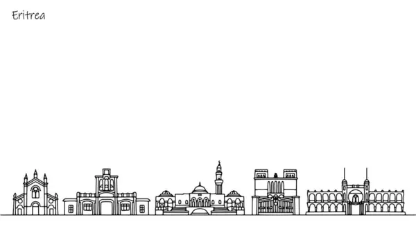
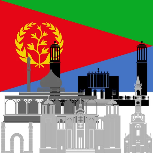
Panorama Of The Streets Of Eritrea. Buildings And Landmarks Of The African Country. Vector Illustration For Different Uses.

Vector, 0.54MB, 5780 × 3249 eps
stock vector Abstract map of Eritrea showing the area ot the country with concentric rings in rainbow colors like a shooting target.

Abstract Map Of Eritrea Showing The Area Ot The Country With Concentric Rings In Rainbow Colors Like A Shooting Target.

Vector, 0.64MB, 2400 × 2120 eps
stock vector 3d isometric colored map of Eritrea with borders of regions

3d Isometric Colored Map Of Eritrea With Borders Of Regions

Vector, 17.68MB, 4000 × 4000 eps
stock image Hawakil Island in the Red Sea on a satellite image taken in December 29, 2023

Hawakil Island In The Red Sea On A Satellite Image Taken In December 29, 2023

Image, 3.82MB, 2880 × 1620 jpg
stock image Naheleg Island in the Red Sea, belonging to Eritrea, isolated on a topographic, OSM Humanitarian style map, with distance scale

Naheleg Island In The Red Sea, Belonging To Eritrea, Isolated On A Topographic, OSM Humanitarian Style Map, With Distance Scale

Image, 0.25MB, 2160 × 2160 jpg
stock image Nora Island in the Red Sea, belonging to Eritrea, isolated on a satellite image taken in November 19, 2022, with distance scale

Nora Island In The Red Sea, Belonging To Eritrea, Isolated On A Satellite Image Taken In November 19, 2022, With Distance Scale

Image, 1.4MB, 2160 × 2160 jpg
stock image Dahlak Kebir Island in the Red Sea, belonging to Eritrea, isolated on a topographic, OSM Humanitarian style map, with distance scale

Dahlak Kebir Island In The Red Sea, Belonging To Eritrea, Isolated On A Topographic, OSM Humanitarian Style Map, With Distance Scale

Image, 0.37MB, 2160 × 2160 jpg
stock image Dahlak Kebir Island in the Red Sea on a colored elevation map

Dahlak Kebir Island In The Red Sea On A Colored Elevation Map

Image, 1.12MB, 2880 × 1620 jpg
Page 1 >> Next