
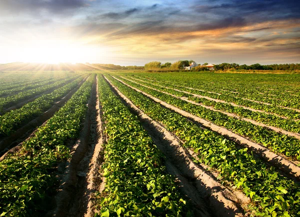
Stock image Fertile Land
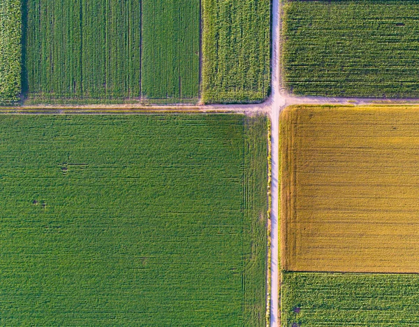


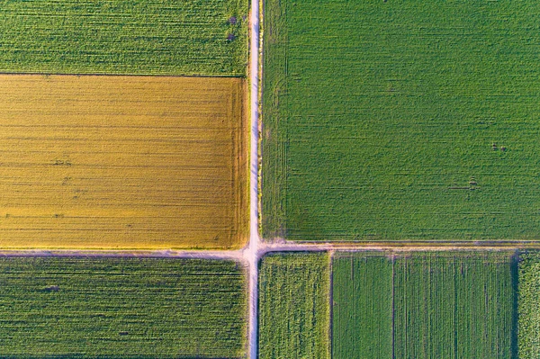
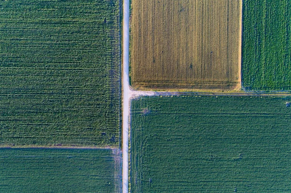
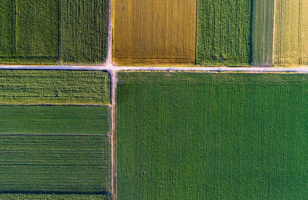
Abstract Geometric Shapes Of Agricultural Parcels Of Different Crops In Yellow And Green Colors. Aerial View Shoot From Drone Directly Above Field
Image, 20.9MB, 5464 × 3640 jpg
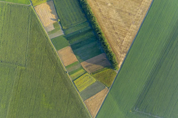
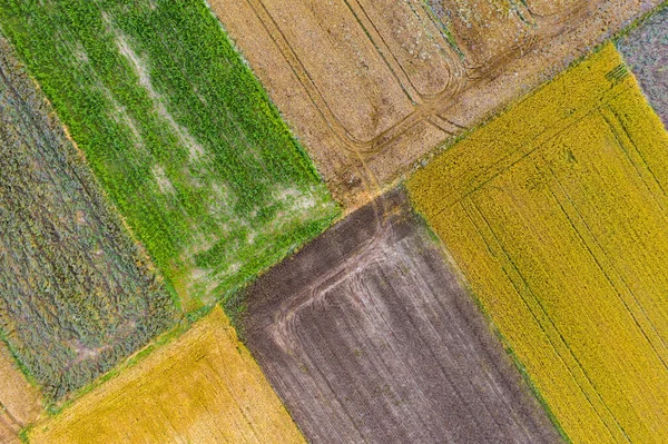
Abstract Geometric Shapes Of Agricultural Parcels Of Different Crops In Yellow And Green Colors. Aerial View Shoot From Drone Directly Above Field
Image, 22.48MB, 5464 × 3640 jpg
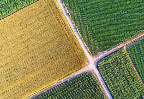
Abstract Geometric Shapes Of Agricultural Parcels Of Different Crops In Yellow And Green Colors. Aerial View Shoot From Drone Directly Above Field
Image, 14.87MB, 5464 × 3640 jpg

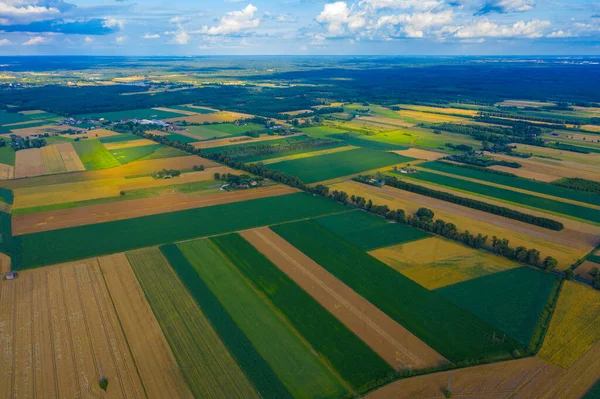
Rural Landscape On Spring Or Summer Day. Aerial View Of Green, Plowed And Blooming Fields, House Roofs On Sunny Dawn. Drone Photography.
Image, 7.69MB, 3700 × 2466 jpg

Abstract Geometric Shapes Of Agricultural Parcels Of Different Crops In Yellow And Green Colors. Aerial View Shoot From Drone Directly Above Field
Image, 12.66MB, 5464 × 3640 jpg


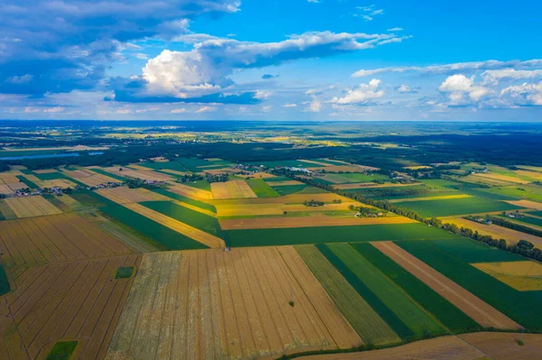
Rural Landscape On Spring Or Summer Day. Aerial View Of Green, Plowed And Blooming Fields, House Roofs On Sunny Dawn. Drone Photography.
Image, 9.06MB, 3700 × 2466 jpg

Aerial Drone View Of Cultivation Fields With Corn, Canola, Wheat And Rye
Image, 22.14MB, 5054 × 3367 jpg


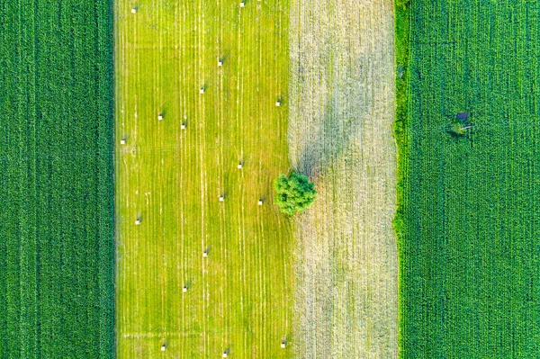
Vertical Stripes Of Agricultural Parcels Of Different Crops. Aerial View Shoot From Drone Directly Above Field
Image, 30.93MB, 5464 × 3640 jpg
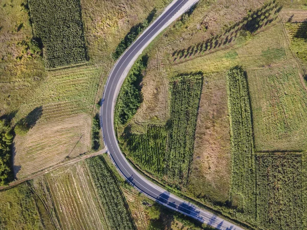
Aerial View Top Down From Above On The Country Road In Mountain Range Agriculture Fields Between Green Grass And Trees Around - Nature Travel Concept Drone Photo In Europe Serbia In Sunny Summer Day
Image, 12.69MB, 4000 × 3000 jpg
Vertical Stripes Of Agricultural Parcels Of Different Crops. Aerial View Shoot From Drone Directly Above Field
Image, 31.36MB, 5464 × 3640 jpg

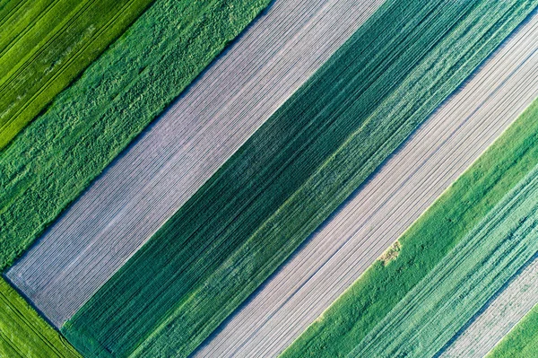

Image Drone Point Of View Gemasolar Concentrated Solar Power Plant CSP Circle Shape, System Generate Solar Power Using Mirrors Lenses To Concentrate Large Area Of Sunlight Onto Receiver, Seville Spain
Image, 6.9MB, 3685 × 2492 jpg

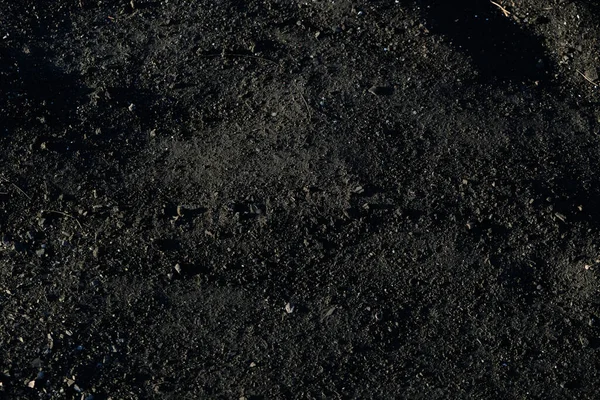
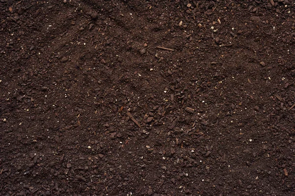
Black Soil Close-up. The Concept Of Agriculture And The Spring Season.
Image, 24.34MB, 6000 × 4000 jpg

Large Areas Of Fertile Land And Crops In Southern Croatia In Neretva Valley
Image, 9.48MB, 3000 × 2248 jpg
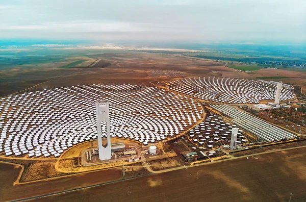
Image Drone Point Of View Gemasolar Concentrated Solar Power Plant CSP Circle Shape, System Generate Solar Power Using Mirrors Lenses To Concentrate Large Area Of Sunlight Onto Receiver, Seville Spain
Image, 2.45MB, 4045 × 2671 jpg
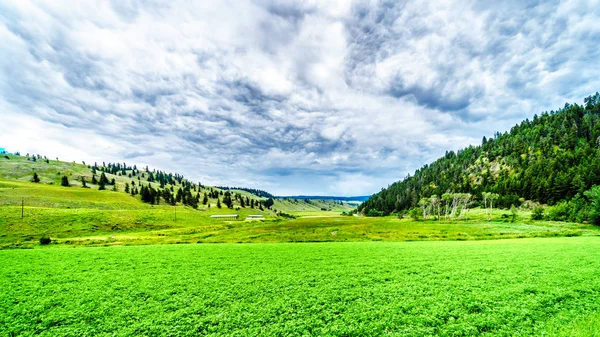
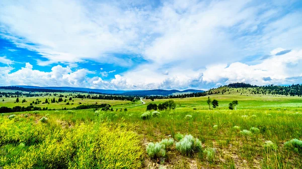
The Fertile Farmland Among The Rolling Hills Along Highway 5A Between Kamloops And Merritt In The Okanagen Region Of British Columbia, Canada
Image, 20.15MB, 6000 × 3375 jpg
Highway 5A Winding Through The Wide Open Grass Lands Of The Nicola Valley, Between Merritt And Kamloops, British Columbia, Canada, Under Partly Cloudy Sky
Image, 17.89MB, 5973 × 3360 jpg
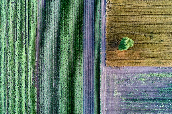
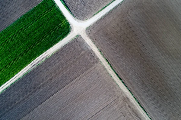
Abstract Geometric Shapes Of Agricultural Parcels Of Different Crops. Aerial View Shoot From Drone Directly Above Field
Image, 27.36MB, 5464 × 3640 jpg

June 17 - World Day To Combat Desertification And Drought. The Concept Of Turning The Desert Into Fertile Land And Pastures. Vector Illustration.
Vector, 7.12MB, 2500 × 2000 eps

Ranch Land In The Nicola Valley Along Highway 5A Between Merritt And Kamloops, British Columbia, Canada
Image, 19.71MB, 5895 × 3316 jpg
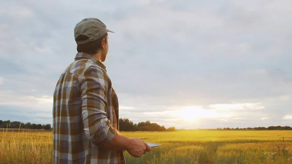
Farmer With A Tablet Computer In Front Of A Sunset Agricultural Landscape. Man In A Countryside Field. The Concept Of Country Life, Food Production, Farming And Technology.
Image, 2.29MB, 3840 × 2160 jpg

Stunning Orange Sunset Cascades Over Lush Fields In The Po Valley, Northern Italy's Fertile Countryside
Image, 21.45MB, 5464 × 3640 jpg

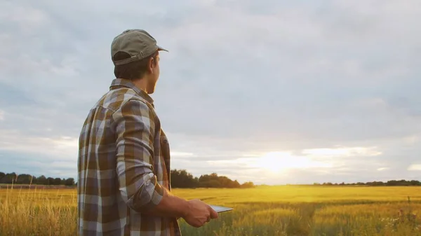
Farmer With A Tablet Computer In Front Of A Sunset Agricultural Landscape. Man In A Countryside Field. The Concept Of Country Life, Food Production, Farming And Technology.
Image, 2.23MB, 3840 × 2160 jpg
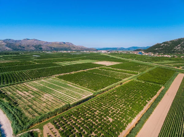
Large Areas Of Fertile Land And Crops In Southern Croatia In Neretva Valley
Image, 7.4MB, 3000 × 2248 jpg
Page 1 >> Next