
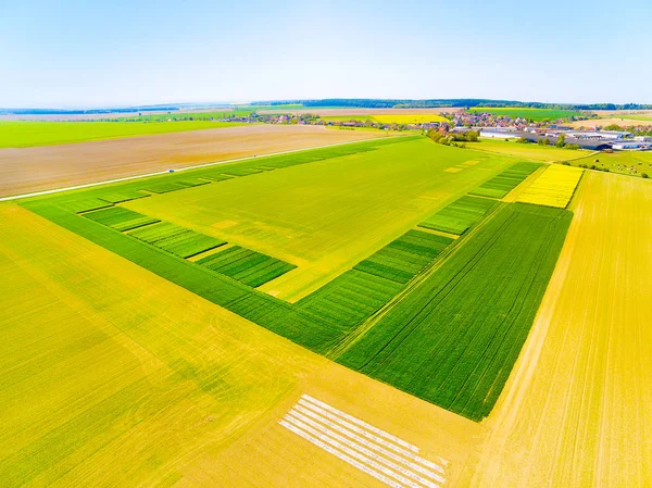
Stock image Fields From Above


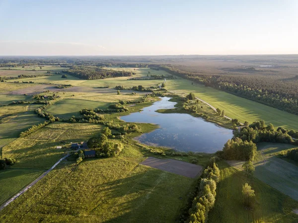
Drone Image. Country Lake Surrounded By Pine Forest And Fields From Above. Summer Day In Swamp Area In Latvia
Image, 10.05MB, 3992 × 2992 jpg


Drone Image. Country Lake Surrounded By Pine Forest And Fields From Above. Summer Day In Swamp Area In Latvia
Image, 8.59MB, 3870 × 2901 jpg


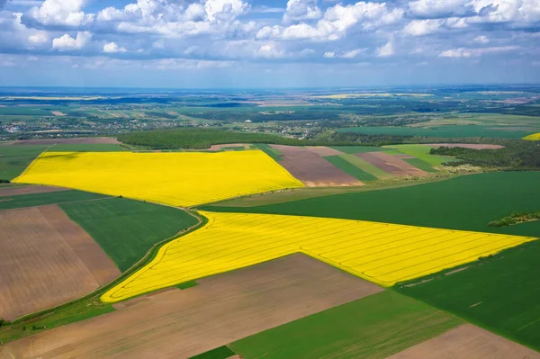
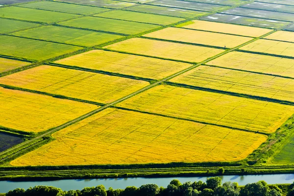
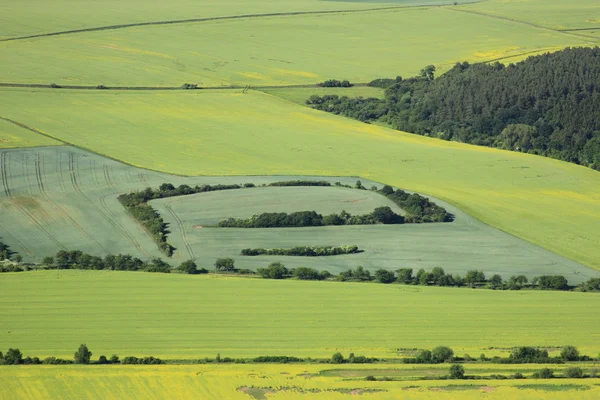
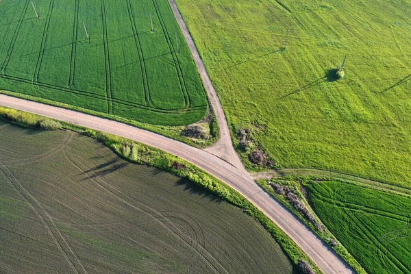
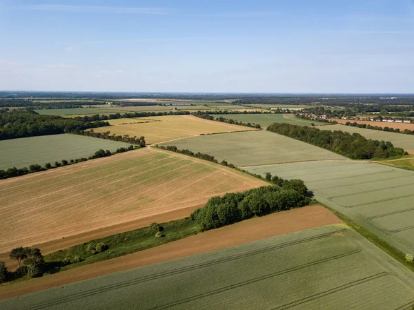
Poland From Above. Aerial View Of Green Agricultural Fields And Village. Landscape With Fields Of Poland. Typical Polish Landscape.
Image, 26.21MB, 5464 × 3640 jpg


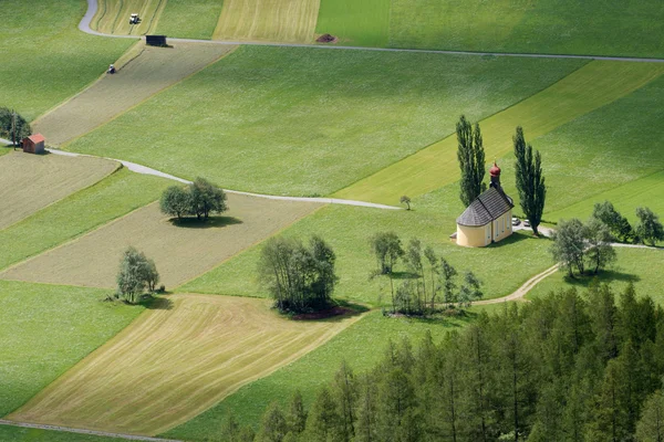
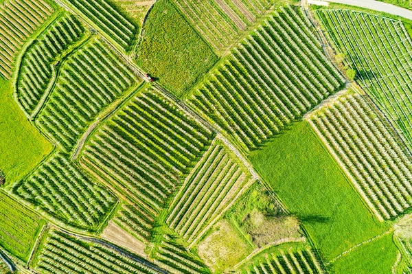
Valtellina (IT) - Apple Orchards In The Chiuro Area - Ponte In Valtellina - Aerial View
Image, 32.79MB, 5464 × 3640 jpg

Aerial View Of Addlestone In Surrey With The M25 Motorway Cutting The Residential Areas In Two With Row Town To The Upper Part Of The Picture. In The Bottom Left Corner Is Jubilee High School And To The Top Left Is The Animal And Plant Health Agency
Image, 15.05MB, 4928 × 3264 jpg
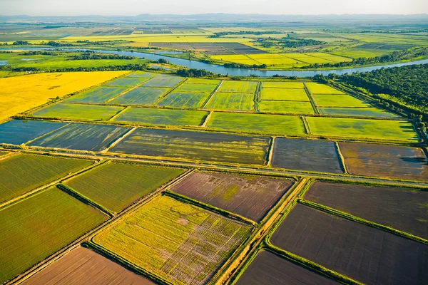
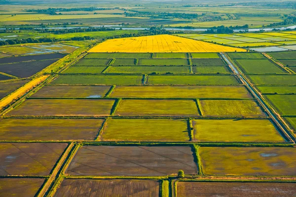
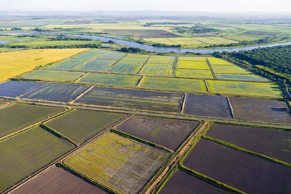
The Rice Fields Are Flooded With Water. Flooded Rice Paddies. Agronomic Methods Of Growing Rice In The Fields.
Image, 5.91MB, 3000 × 2000 jpg


Valtellina (IT) - Apple Orchards In The Chiuro Area - Ponte In Valtellina - Aerial View
Image, 33.4MB, 5464 × 3640 jpg

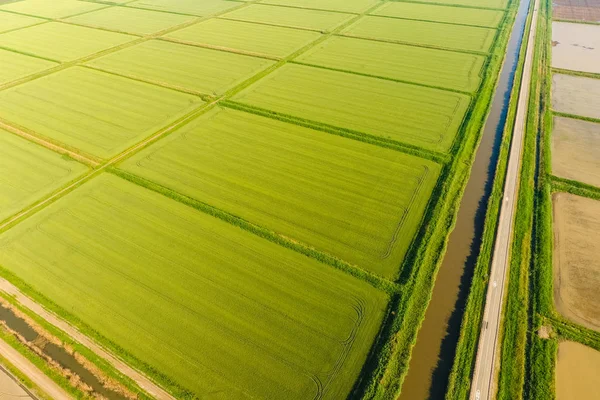
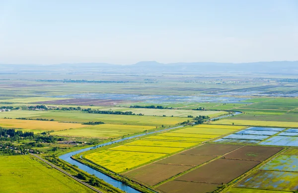
View From Above Of Green Rice Fields Of Tegallalang Village, Ubud Centre, Bali.
Image, 16MB, 7481 × 4208 jpg


A Sharp Bend In A River That Flows Between Forest And Agricultural Fields, Aerial View
Image, 13.21MB, 4000 × 2667 jpg

Aerial View Of Plastic Greenhouse On Apple Orchard. Plant Cultivation In Organic Farming
Image, 17.09MB, 5500 × 3667 jpg

Aerial View Of Apple Orchard. Large Apple Plantation In Val Venosta, Italy.
Image, 10.19MB, 3473 × 2603 jpg


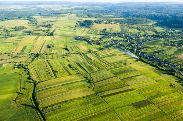
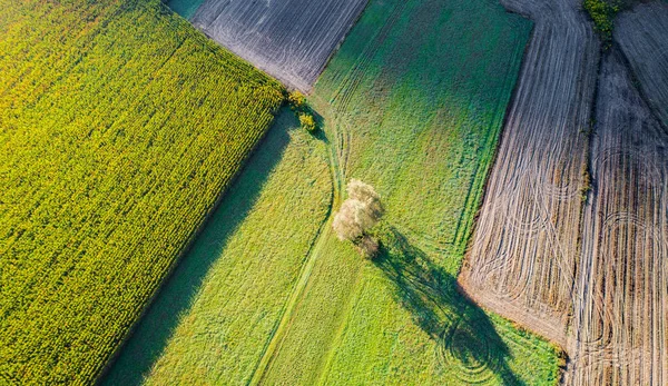
Beautiful Panoramic Aerial Drone View To View Of Fields In Eastern Poland At Sunset, Near Bialowieza Forest - Near Of The Last And Largest Remaining Parts Of The Immense Primeval European Forest
Image, 4.01MB, 3982 × 2983 jpg


Aerial View Of The South London Suburb Of Worcester Park In The Borough Of Sutton. A Mainly Residential Area, There Are Many Streets Of Houses.
Image, 17.65MB, 4928 × 3264 jpg
Page 1 >> Next