
Stock image Formosa Contour

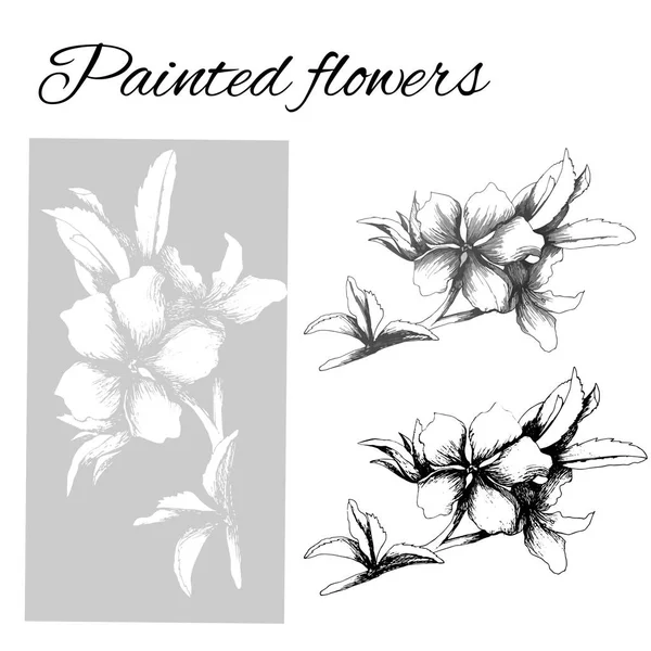
Crimson Columbine Linear Icon. Aquilegia Formosa. Blooming Wildflower. Spring Blossom. Red Columbine. Wild Herbaceous Plant. Thin Line Illustration. Contour Symbol. Vector Isolated Outline Drawing
Vector, 0.51MB, 5000 × 5000 eps
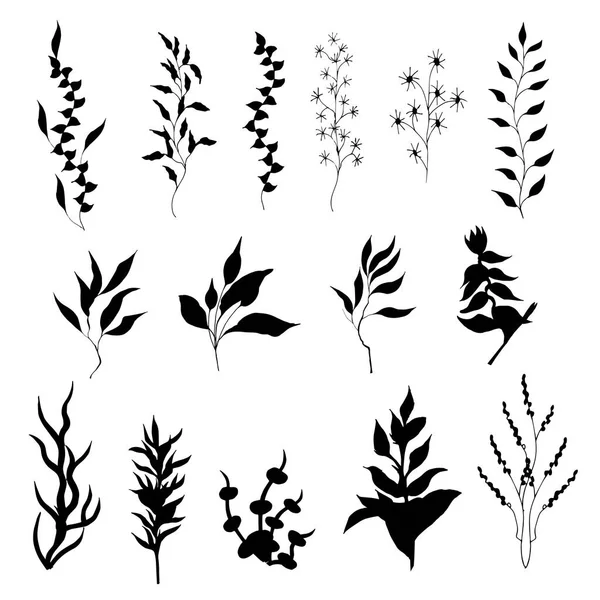
Set Of Contour Vector Flowers. Medicinal Plant Veronica Formosa Drawn By Ink. Contour Clipart For Use In Design.
Vector, 1.31MB, 5000 × 5000 eps
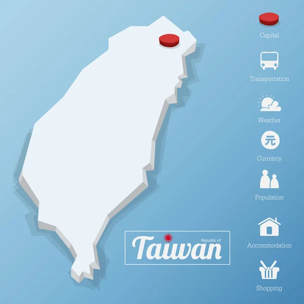
Republic Of Taiwan Map. Taipei City. Including Tourism Icon In Flat Design For Modern Infographic.
Vector, 3.34MB, 6500 × 6500 eps
Set Of Contour Vector Flowers. Medicinal Plant Veronica Formosa Drawn By Ink. Contour Clipart For Use In Design.
Vector, 5.47MB, 5000 × 5000 eps

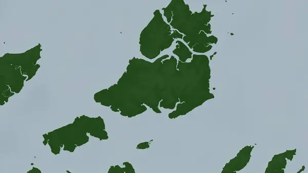
Ilha Formosa In The North Atlantic Ocean On A Topographic, OSM Humanitarian Style Map
Image, 1.38MB, 2880 × 1620 jpg


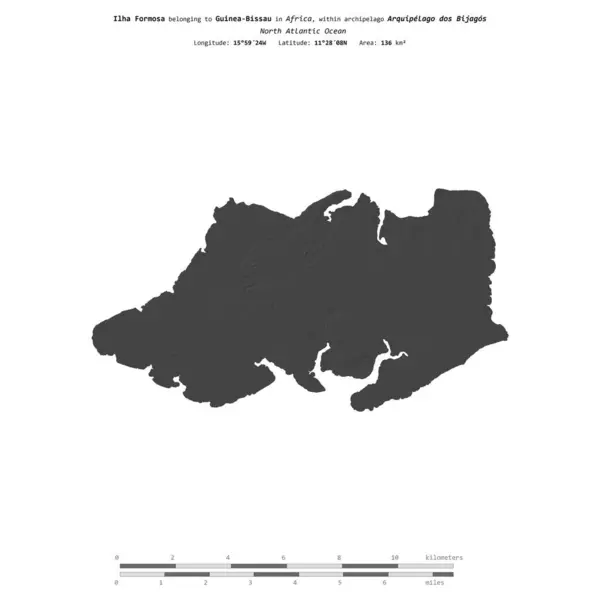
Ilha Formosa In The North Atlantic Ocean, Belonging To Guinea-Bissau, Isolated On A Bilevel Elevation Map, With Distance Scale
Image, 0.36MB, 2160 × 2160 jpg

Ilha Formosa In The North Atlantic Ocean - Belonging To Guinea-Bissau. Described Location Diagram With Yellow Shape Of The Island And Sample Maps Of Its Surroundings
Image, 2.37MB, 3840 × 2160 jpg

Ilha Formosa In The North Atlantic Ocean On A Satellite Image Taken In April 9, 2023
Image, 4.84MB, 2880 × 1620 jpg


Ilha Formosa In The North Atlantic Ocean, Belonging To Guinea-Bissau, Isolated On A Topographic, OSM Humanitarian Style Map, With Distance Scale
Image, 0.59MB, 2160 × 2160 jpg

Ilha Formosa In The North Atlantic Ocean, Belonging To Guinea-Bissau, Isolated On A Satellite Image Taken In January 19, 2023, With Distance Scale
Image, 1.34MB, 2160 × 2160 jpg


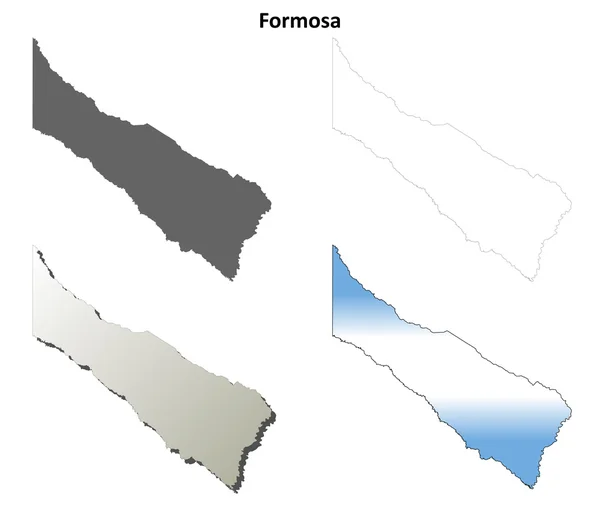
Blank Map Formosa Province Of Argentina. High Quality Map Province Of Formosa With Districts On Transparent Background For Your Web Site Design, Logo, App, UI. Argentine Republic. EPS10.
Vector, 4.21MB, 6668 × 5000 eps
Page 1 >> Next