photo free
Home Images Vectors Videos

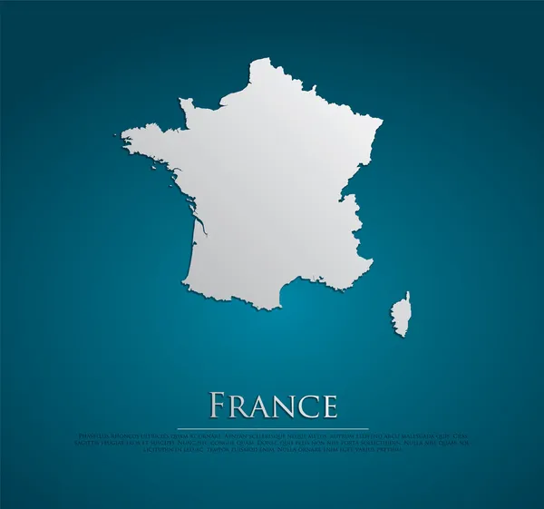
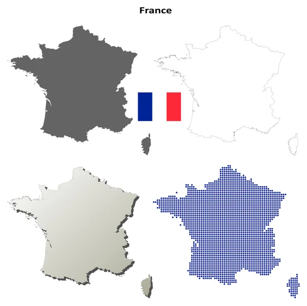
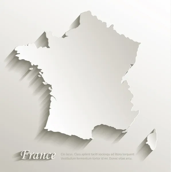
Stock image France Blank Map

stock vector vector France Map card paper

Vector France Map Card Paper

Vector, 5.86MB, 5165 × 4839 eps
stock vector Centre region blank detailed outline map set

Centre Region Blank Detailed Outline Map Set

Vector, 0.22MB, 4538 × 4956 eps
stock vector Political map of Europe Vector Illustration

Political Map Of Europe Vector Illustration

Vector, 7.35MB, 10735 × 7500 eps
stock vector Alsace blank detailed outline map set

Alsace Blank Detailed Outline Map Set

Vector, 0.19MB, 3721 × 5871 eps
stock vector Political map of Europe with different colors for each country. Vector illustration.

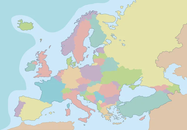
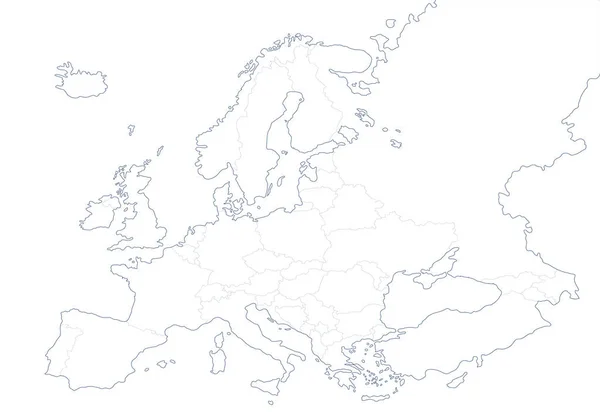
Political Map Of Europe With Different Colors For Each Country. Vector Illustration.

Vector, 6.04MB, 10735 × 7500 eps
stock vector Bas-Rhin, Alsace outline map set

Bas-Rhin, Alsace Outline Map Set

Vector, 0.17MB, 4583 × 5417 eps
stock vector Yvelines, Ile-de-France outline map set

Yvelines, Ile-de-France Outline Map Set

Vector, 0.15MB, 4583 × 5417 eps
stock vector Provence-Alpes-Cote d'Azur blank detailed outline map set

Provence-Alpes-Cote D'Azur Blank Detailed Outline Map Set

Vector, 2.56MB, 4946 × 4760 eps
stock vector Blank contour maps of France

Blank Contour Maps Of France

Vector, 3.54MB, 6695 × 6686 eps
stock vector Martinique outline map set

Martinique Outline Map Set

Vector, 1.03MB, 4479 × 5010 eps
stock vector Limousin blank detailed outline map set

Limousin Blank Detailed Outline Map Set

Vector, 0.19MB, 4650 × 5009 eps
stock vector Vector illustration of political map of Europe designed with different sizes and tones of blue dots.

Vector Illustration Of Political Map Of Europe Designed With Different Sizes And Tones Of Blue Dots.

Vector, 5.88MB, 10735 × 7500 eps
stock image Blank map of Europe

Blank Map Of Europe

Image, 4.4MB, 7000 × 5855 jpg
stock vector Guadeloupe detailed outline map set

Guadeloupe Detailed Outline Map Set

Vector, 1.28MB, 5305 × 4493 eps
stock vector Maine-et-Loire, Pays de la Loire outline map set

Maine-et-Loire, Pays De La Loire Outline Map Set

Vector, 0.18MB, 5417 × 4583 eps
stock vector Political map of Europe in white background. Vector illustration

Political Map Of Europe In White Background. Vector Illustration

Vector, 7.43MB, 10735 × 7500 eps
stock vector France map vector. French maps craft paper texture. Empty template information creative design element.

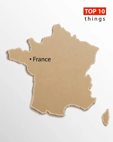
France Map Vector. French Maps Craft Paper Texture. Empty Template Information Creative Design Element.

Vector, 10.04MB, 3500 × 4375 eps
stock vector Landes department outline map set

Landes Department Outline Map Set

Vector, 0.58MB, 6000 × 3000 eps
stock vector Bas-Rhin department outline map set

Bas-Rhin Department Outline Map Set

Vector, 0.47MB, 6000 × 3000 eps
stock vector Deux-Sevres department outline map set

Deux-Sevres Department Outline Map Set

Vector, 0.31MB, 6000 × 3000 eps
stock vector Rhone department outline map set

Rhone Department Outline Map Set

Vector, 0.29MB, 6000 × 3000 eps
stock vector Dordogne department outline map set

Dordogne Department Outline Map Set

Vector, 0.31MB, 6000 × 3000 eps
stock vector Meuse department outline map set

Meuse Department Outline Map Set

Vector, 0.29MB, 6000 × 3000 eps
stock vector Nievre department outline map set

Nievre Department Outline Map Set

Vector, 0.3MB, 6000 × 3000 eps
stock vector Eurasia Map vector. Gray similar world map blank vector on transparent background.  Gray similar Eurasia map with borders of all countries  and Countries of the UK. Quality Eurasia map.

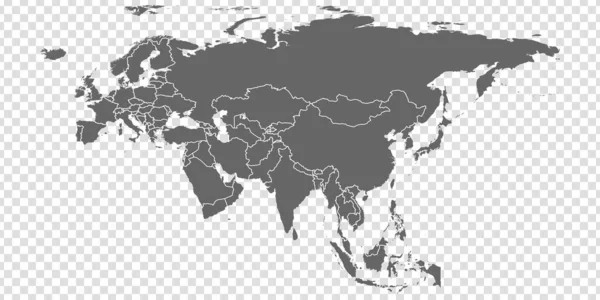
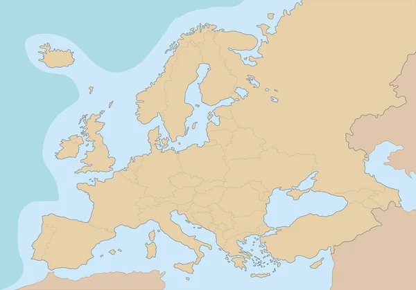
Eurasia Map Vector. Gray Similar World Map Blank Vector On Transparent Background. Gray Similar Eurasia Map With Borders Of All Countries And Countries Of The UK. Quality Eurasia Map.

Vector, 5.67MB, 8334 × 4168 eps
stock vector Corse-du-Sud department outline map set

Corse-du-Sud Department Outline Map Set

Vector, 2.48MB, 6000 × 3000 eps
stock vector Lot-et-Garonne department outline map set

Lot-et-Garonne Department Outline Map Set

Vector, 0.3MB, 6000 × 3000 eps
stock vector Lot department outline map set

Lot Department Outline Map Set

Vector, 0.28MB, 6000 × 3000 eps
stock vector Charente-Maritime department outline map set

Charente-Maritime Department Outline Map Set

Vector, 1.98MB, 6000 × 3000 eps
stock vector Cotes-d Armor department outline map set

Cotes-d Armor Department Outline Map Set

Vector, 2.5MB, 6000 × 3000 eps
stock vector Airline ticket. Travel background

Airline Ticket. Travel Background

Vector, 9.55MB, 5507 × 5500 eps
stock vector Saint-Denis, France printable map

Saint-Denis, France Printable Map

Vector, 5.18MB, 5376 × 5376 eps
stock vector France map card paper 3D natural vector

France Map Card Paper 3D Natural Vector

Vector, 1.12MB, 3980 × 4002 eps
stock vector Corsica map island card paper 3D natural vector

Corsica Map Island Card Paper 3D Natural Vector

Vector, 5.94MB, 4000 × 4022 eps
stock vector Vector map of city street on gray background. Graphic urban town for gps navigation. Simple abstract town with top view for location in travel. Downtown intersection template with place for route.

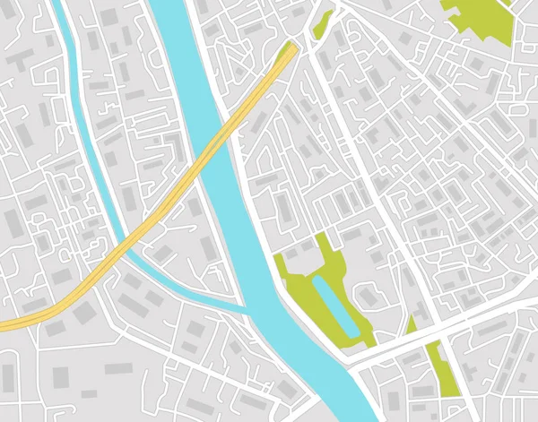
Vector Map Of City Street On Gray Background. Graphic Urban Town For Gps Navigation. Simple Abstract Town With Top View For Location In Travel. Downtown Intersection Template With Place For Route.

Vector, 0.97MB, 5091 × 4000 eps
stock image Grunge background

Grunge Background

Image, 2.03MB, 2310 × 1800 jpg
stock vector Issy-les-Moulineaux, France printable map

Issy-les-Moulineaux, France Printable Map

Vector, 5.93MB, 5376 × 5376 eps
stock vector Nancy, France printable map

Nancy, France Printable Map

Vector, 5.29MB, 5376 × 5376 eps
stock vector Saint-Andre, France printable map

Saint-Andre, France Printable Map

Vector, 3.36MB, 5376 × 5376 eps
stock vector Roubaix, France printable map

Roubaix, France Printable Map

Vector, 4.53MB, 5376 × 5376 eps
stock vector Villeneuve-d Ascq, France printable map

Villeneuve-d Ascq, France Printable Map

Vector, 4.75MB, 5376 × 5376 eps
stock vector Sevran, France printable map

Sevran, France Printable Map

Vector, 4.7MB, 5376 × 5376 eps
stock vector Villeurbanne, France printable map

Villeurbanne, France Printable Map

Vector, 5MB, 5376 × 5376 eps
stock vector Arles, France printable map

Arles, France Printable Map

Vector, 4.1MB, 5376 × 5376 eps
stock vector La Rochelle, France printable map

La Rochelle, France Printable Map

Vector, 5.59MB, 5376 × 5376 eps
stock vector Metz, France printable map

Metz, France Printable Map

Vector, 6.31MB, 5376 × 5376 eps
stock vector Colored blank political World Map isolated on white

Colored Blank Political World Map Isolated On White

Vector, 13.71MB, 8192 × 4261 eps
stock vector World Map and colorful continents with large navigation icon set

World Map And Colorful Continents With Large Navigation Icon Set

Vector, 13.85MB, 6853 × 8192 eps
stock vector Colorful political map of World

Colorful Political Map Of World

Vector, 3.27MB, 8000 × 6000 eps
stock vector Europe map, new political detailed map, separate individual states, with state names, card paper 3D natural vector

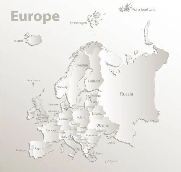
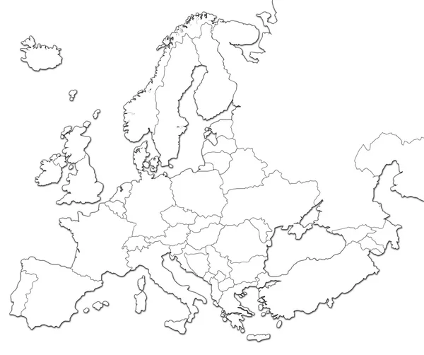
Europe Map, New Political Detailed Map, Separate Individual States, With State Names, Card Paper 3D Natural Vector

Vector, 20.86MB, 4216 × 4000 eps
Page 1 >> Next