
Stock image From Drone
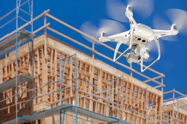
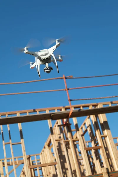
Drone Quadcopter Flying And Inspecting Wood Framing At Construction Site
Image, 9.3MB, 4092 × 6138 jpg

Young Man Video Maker Flies A Drone In The Mountains, Launches A Drone From His Hands. Creating Travel Content From A Drone
Image, 7.41MB, 5754 × 3624 jpg


Cultivation Of The Agricultural Field After Harvesting. Preparation Of Soil For Sowing Of Winter Crops. Aerial View From The Drone Of The Field After Harvest.
Image, 15.91MB, 3979 × 2982 jpg


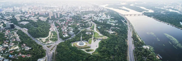
Panoramic View Of The City Of Kiev With A Racetrack, Parks With An Ice Stadium And Modern Houses Against A Blue Sky On A Spring Day. District Holosiivskyi. Photo From The Drone
Image, 7.69MB, 3977 × 2981 jpg

Aerial Top View From Drone To Sunflower And Wheat Fields At Summer Time
Image, 11.88MB, 3992 × 2992 jpg

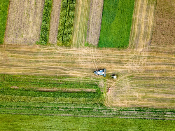
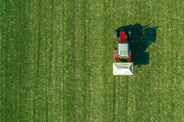
Harvester And Tractor In A Field Harvesting Wheat. Aerial View From Drone.
Image, 11.7MB, 4056 × 2280 jpg

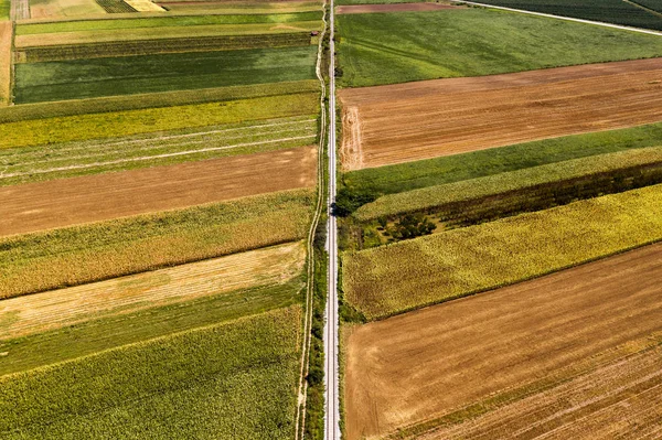
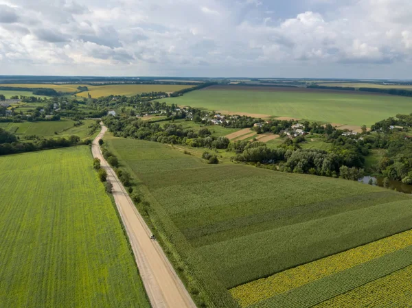
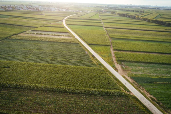
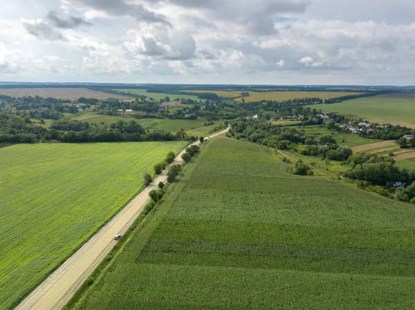
Panoramic View From Drone To The Countryside With A Country Buildings, Dirt Road And Agricultural Fields Against Cloudy Sky In The Summer At Sunset.
Image, 6.68MB, 3974 × 2979 jpg
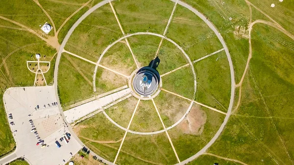
Equestrian Statue Of Genghis Khan In Sunny Weather. Mongolia, Ulaanbaatar, From Drone
Image, 5.37MB, 3011 × 1694 jpg

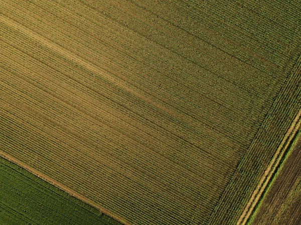
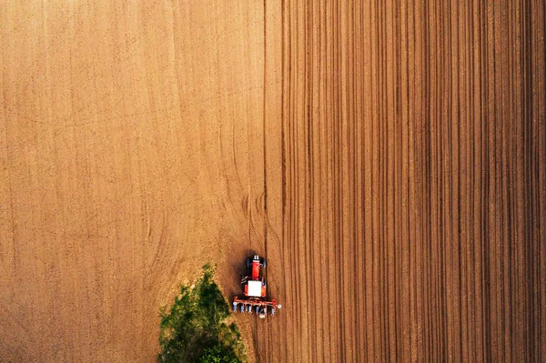
Aerial View From Drone. Cultivation Of The Agricultural Field After Harvesting. Preparation Of Soil For Sowing Of Winter Crops. Top View.
Image, 14.79MB, 3982 × 2985 jpg
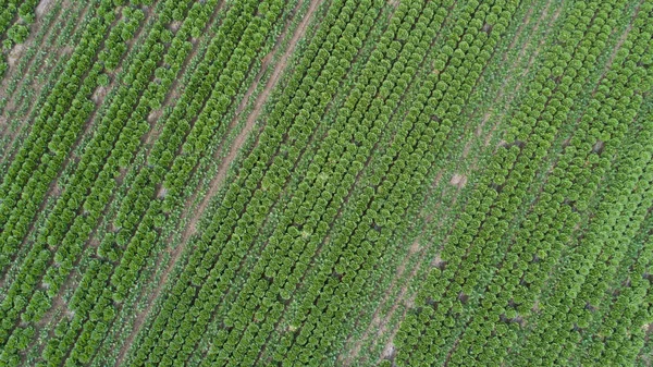
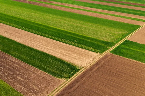
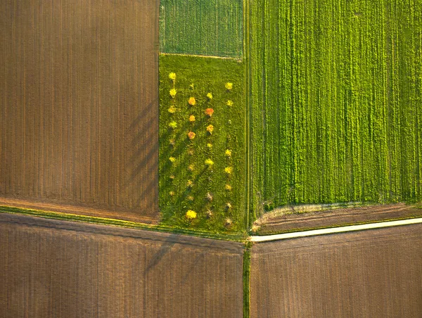
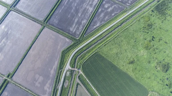
Geometric Forms Of Agricultural Fields With Different Crops In Green Color A Bird's Eye View From The Drone. Texture Of Plant Background. Top View
Image, 16.63MB, 3654 × 2739 jpg

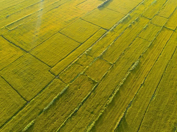
The Top View Of The Wheat Field And The Plowed Field Under Fig. Shooting From A Drone
Image, 7.2MB, 3840 × 2160 jpg

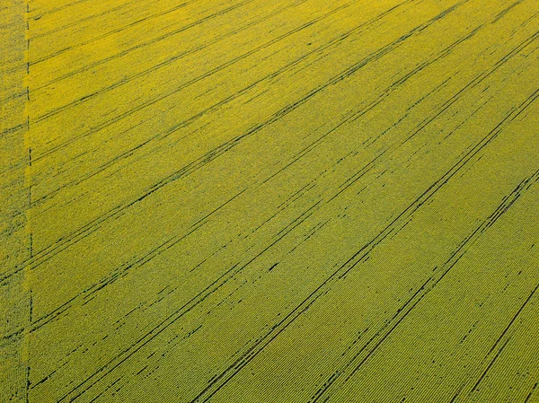
Geometric Abstract Forms Of Agricultural Fields In Green Yellow Colors, Countryside Landscape Against Blue Cloudy Sky. A Bird's Eye View From The Drone.
Image, 6.09MB, 3974 × 2979 jpg
Panoramic View From Drone To The Countryside With A Country Buildings, Dirt Road And Agricultural Fields Against Cloudy Sky In The Summer At Sunset.
Image, 7.9MB, 3982 × 2985 jpg


Aerial Bird's Eye View From Drone Of The Outdoors Picturesque Landscape Above Farm Lands, Agricultural Fields, And Forests On Bright Cloudy Sky Background On A Summer Sunny Day. Ukraine, Uman City.
Image, 7.86MB, 3977 × 2981 jpg
Panoramic View Of St. Petersburg From The Air During Sunset. Russia. Sleeping Areas, From Drone
Image, 2.72MB, 2699 × 1518 jpg

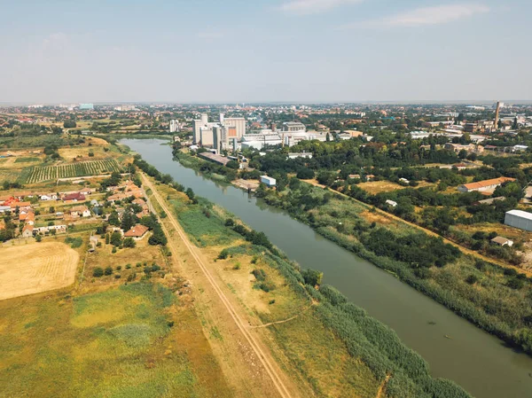
Aerial Shot Of Industrial Loading Area Where Many Trucks Are Unloading Merchandise.
Image, 12.65MB, 5464 × 3640 jpg
Aerial View Of Black Car On Dirt Road Through Countryside, Top View Driving Vehicle From Drone Pov
Image, 17.43MB, 5464 × 3640 jpg

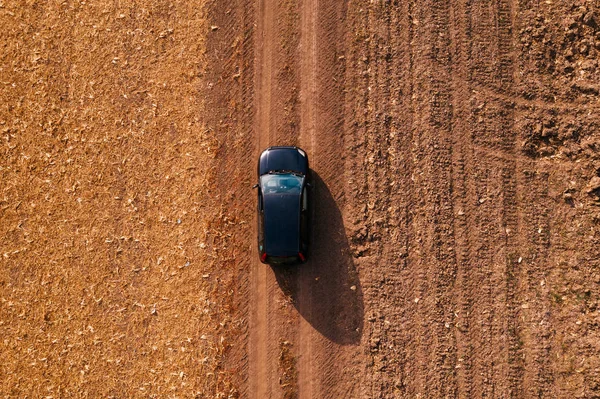
Aerial View Of Black Car On Dirt Road Through Countryside, Top View Driving Vehicle From Drone Pov
Image, 18.36MB, 5464 × 3640 jpg


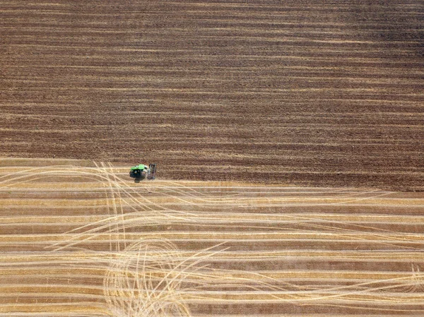
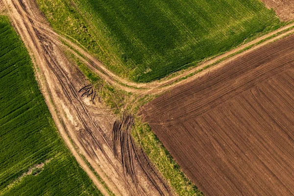
Aerial View Plowing The Spring Field With A Tractor, The Post Drank Dragging Behind The Tractor. On The Right Side, A Dirt Road With A Parked Coarse. Ukraine. Photo From The Drone
Image, 7.79MB, 4096 × 2160 jpg
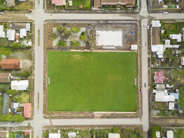
An Aerial View Of Chile Countryside From The Drone, A Small Grass Football Field As The Main Square Inside A New And Symmetrical Urban Planning Of The Streets In The Town Of Buchupureo, Chile
Image, 4.93MB, 3957 × 2966 jpg
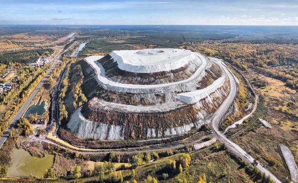
White Mountain - Large Open Air Phosphogypsum Waste Storage Near Voskresensk, Moscow Oblast, Russia
Image, 12.91MB, 5000 × 3089 jpg

View From The Drone Of The Beautiful City With An Amusement Park In The Sunshine
Image, 6.06MB, 3000 × 2000 jpg

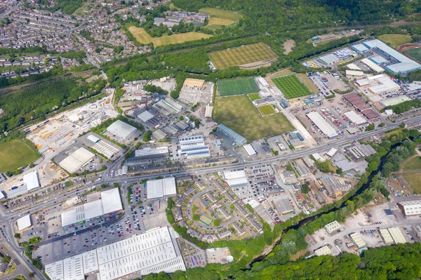
Aerial Photo Of The Town Of Huddersfield, Showing The Main Town Centre On A Sunny Summers Day In The Summer Time In The Borough Of Kirklees, In West Yorkshire, England UK
Image, 14.95MB, 5464 × 3640 jpg

Saint-Petersburg, Russia. Neva River. Panoramic Aerial View Of Hare Island And Artelery Island. Peter-Pavel S Fortress. Trinity Bridge, From Drone
Image, 3.89MB, 2699 × 1518 jpg

The Train Crawls Along The Railway Under The Clouds Along The Coast. Transibir Railway. Highway. Flying Above The Clouds. Coast Of Lake Baikal., From Drone, HEAD OVER SHOT
Image, 4.96MB, 3011 × 1694 jpg

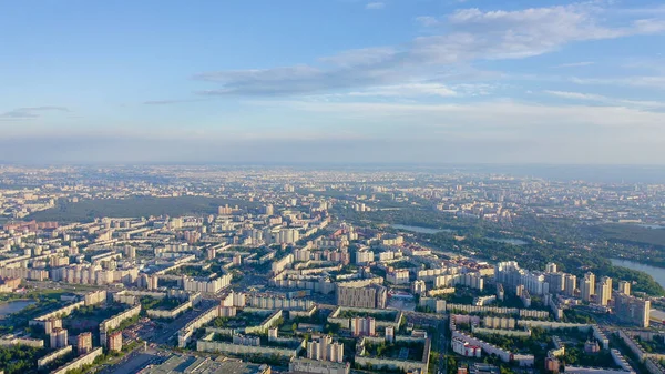
New Buildings In A New Area Of The City Of Yekaterinburg. Construction Of Houses, Parks And Roads. Flying Over A Row Of New Houses. Russia, From Drone
Image, 3.91MB, 3011 × 1694 jpg
Page 1 >> Next