photo free
Home Images Vectors Videos

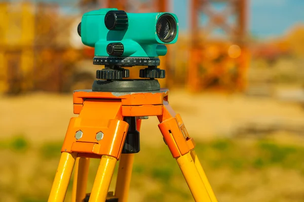
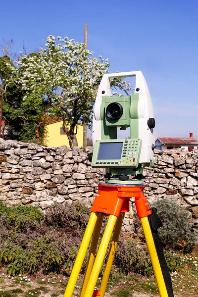
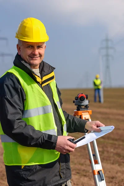
Stock image Geodetic

stock image Engineer in reflective vest using equipment during geodetic work. Blurred colleague in the background

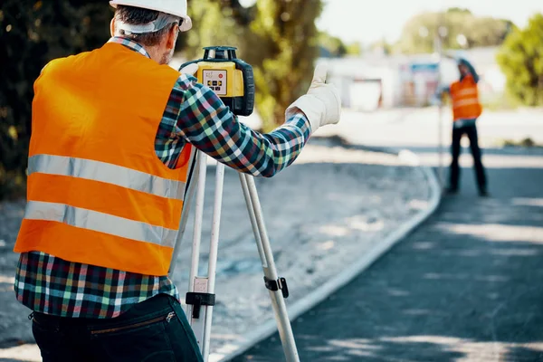
Engineer In Reflective Vest Using Equipment During Geodetic Work. Blurred Colleague In The Background

Image, 10.68MB, 5760 × 3840 jpg
stock image Total station

Total Station

Image, 4.77MB, 2832 × 4400 jpg
stock vector surveyor measures the road with a theodolite

Surveyor Measures The Road With A Theodolite

Vector, 2.36MB, 3200 × 3701 eps
stock vector Conceptual icon set for construction in flat style. Vector illustration

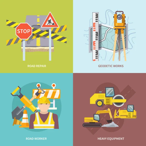
Conceptual Icon Set For Construction In Flat Style. Vector Illustration

Vector, 2.43MB, 4167 × 4167 eps
stock vector Hand drawn doodle geodetic survey seamless pattern

Hand Drawn Doodle Geodetic Survey Seamless Pattern

Vector, 0.79MB, 4167 × 4167 eps
stock image engineer and architecture theodolite camera

Engineer And Architecture Theodolite Camera

Image, 3.57MB, 2334 × 3517 jpg
stock image Blue geodetic leveling in the box

Blue Geodetic Leveling In The Box

Image, 2.81MB, 4096 × 2743 jpg
stock image Survey equipment theodolite on a tripod. Isolated on white

Survey Equipment Theodolite On A Tripod. Isolated On White

Image, 1.93MB, 3540 × 5310 jpg
stock image Modern building business and a worker

Modern Building Business And A Worker

Image, 15.75MB, 4911 × 7358 jpg
stock vector Surveyor Geodetic Civil Engineer Retro

Surveyor Geodetic Civil Engineer Retro

Vector, 1.57MB, 3635 × 2926 eps
stock image Old theodolite tacheometer cutout

Old Theodolite Tacheometer Cutout

Image, 5.81MB, 4647 × 6815 jpg
stock vector Topography Research Onboarding Elements Icons Set Vector

Topography Research Onboarding Elements Icons Set Vector

Vector, 0.66MB, 7298 × 2980 eps
stock image laser cross with red glasses

Laser Cross With Red Glasses

Image, 8.86MB, 4675 × 3117 jpg
stock image Geodetic leveling

Geodetic Leveling

Image, 2.43MB, 2755 × 1833 jpg
stock image The surveyor with the theodolite makes measurements in the cente

The Surveyor With The Theodolite Makes Measurements In The Cente

Image, 10.47MB, 7360 × 4912 jpg
stock vector measuring wheel icon on white background. Simple element illustr

Measuring Wheel Icon On White Background. Simple Element Illustr

Vector, 0.55MB, 5556 × 5556 eps
stock vector Continuous line drawing illustration of a geodetic surveyor using a theodolite done in mono line or doodle style in black and white on isolated background.

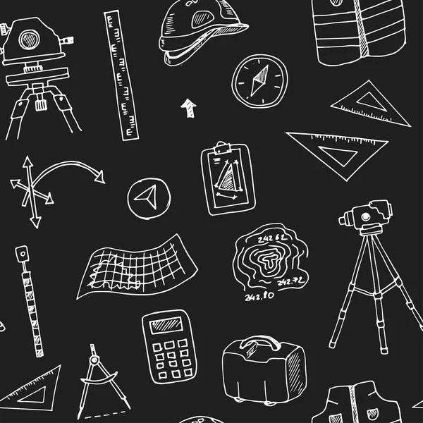
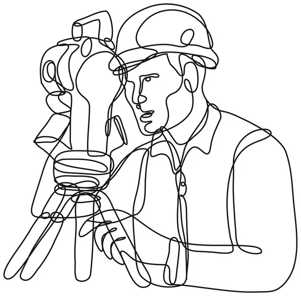
Continuous Line Drawing Illustration Of A Geodetic Surveyor Using A Theodolite Done In Mono Line Or Doodle Style In Black And White On Isolated Background.

Vector, 1.41MB, 4416 × 4348 eps
stock vector Geology icon in filled, thin line, outline and stroke style. Vector illustration of two colored and black geology vector icons designs can be used for mobile, ui, web

Geology Icon In Filled, Thin Line, Outline And Stroke Style. Vector Illustration Of Two Colored And Black Geology Vector Icons Designs Can Be Used For Mobile, Ui, Web

Vector, 0.62MB, 19444 × 4167 eps
stock vector Geodetic level icon

Geodetic Level Icon

Vector, 0.66MB, 4200 × 4200 eps
stock image Theodolite and workers at construction site

Theodolite And Workers At Construction Site

Image, 7.73MB, 4788 × 3264 jpg
stock image Theodolite at construction site

Theodolite At Construction Site

Image, 10.84MB, 5472 × 3648 jpg
stock image male surveyor engineer with a device working on a construction site in a helmet

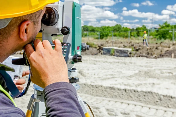
Male Surveyor Engineer With A Device Working On A Construction Site In A Helmet

Image, 14.08MB, 6000 × 4000 jpg
stock image Electronic theodolite for land surveyor

Electronic Theodolite For Land Surveyor

Image, 6.56MB, 4926 × 3840 jpg
stock image Geodesist device on tripod is connected with total station.

Geodesist Device On Tripod Is Connected With Total Station.

Image, 8.83MB, 5184 × 3456 jpg
stock image Survey equipment in carrying case

Survey Equipment In Carrying Case

Image, 3.21MB, 4299 × 2867 jpg
stock image Geodesist wear reflective vest measure land

Geodesist Wear Reflective Vest Measure Land

Image, 8.33MB, 5667 × 3778 jpg
stock image Geodesist taking measurement

Geodesist Taking Measurement

Image, 8.46MB, 5319 × 3546 jpg
stock image Worker is holding leveling rod to measuring level on constructio

Worker Is Holding Leveling Rod To Measuring Level On Constructio

Image, 7.5MB, 5184 × 3456 jpg
stock image Civil engineer, geodesist is working with total station on a bui

Civil Engineer, Geodesist Is Working With Total Station On A Bui

Image, 7.21MB, 5021 × 3332 jpg
stock image Civil engineer, geodesist is working with total station on a bui

Civil Engineer, Geodesist Is Working With Total Station On A Bui

Image, 9.07MB, 5184 × 3456 jpg
stock image Optical level at factory among equipment

Optical Level At Factory Among Equipment

Image, 1.55MB, 2483 × 1651 jpg
stock image Two geodets at work on an oil well

Two Geodets At Work On An Oil Well

Image, 19.34MB, 6000 × 4000 jpg
stock image Boss oversees, control work on construction site

Boss Oversees, Control Work On Construction Site

Image, 12.41MB, 5184 × 3456 jpg
stock image Theodolite at construction site

Theodolite At Construction Site

Image, 8.62MB, 5472 × 3648 jpg
stock image Builder uses a laser level to measure the distance

Builder Uses A Laser Level To Measure The Distance

Image, 11.76MB, 8256 × 5504 jpg
stock image Surveyor engineer is measuring bridge under construction, site. Surveyors ensure precise measurements before undertaking large construction projects.

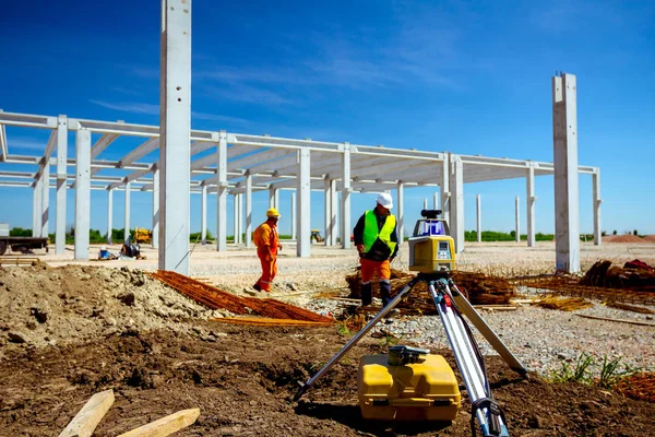
Surveyor Engineer Is Measuring Bridge Under Construction, Site. Surveyors Ensure Precise Measurements Before Undertaking Large Construction Projects.

Image, 12.88MB, 6720 × 4480 jpg
stock vector Land Surveyor Black Graphic Symbol Vector Illustration

Land Surveyor Black Graphic Symbol Vector Illustration

Vector, 1.7MB, 5000 × 5000 eps
stock image close up view on old theodolite on construction place

Close Up View On Old Theodolite On Construction Place

Image, 6.08MB, 4368 × 2912 jpg
stock vector Vector logo of geodesy, design and topography

Vector Logo Of Geodesy, Design And Topography

Vector, 6.37MB, 5208 × 5208 eps
stock image Survey Instrument geodetic device, total station set in the fiel

Survey Instrument Geodetic Device, Total Station Set In The Fiel

Image, 11.91MB, 3456 × 5184 jpg
stock vector Measuring instrument for engineer, architect, builder, designer, constructor icons set

Measuring Instrument For Engineer, Architect, Builder, Designer, Constructor Icons Set

Vector, 2.44MB, 5400 × 5400 eps
stock vector Road Worker Flat

Road Worker Flat

Vector, 1.01MB, 4500 × 4500 eps
stock vector Smiling woman engineer in helmet and uniform working with geodetic equipment on construction site. Happy female surveyor engineer on building area. Vector illustration.

Smiling Woman Engineer In Helmet And Uniform Working With Geodetic Equipment On Construction Site. Happy Female Surveyor Engineer On Building Area. Vector Illustration.

Vector, 5.36MB, 7500 × 5000 eps
stock image Domes of old radar station and house on rocky place

Domes Of Old Radar Station And House On Rocky Place

Image, 6.89MB, 4252 × 2824 jpg
stock vector Geodesic compass icon, simple style

Geodesic Compass Icon, Simple Style

Vector, 0.78MB, 5000 × 5000 eps
stock vector Geodetic optical measuring laser level devices. Tachymeter, theodolite icon. Vector illustration

Geodetic Optical Measuring Laser Level Devices. Tachymeter, Theodolite Icon. Vector Illustration

Vector, 5.23MB, 5000 × 5000 eps
stock image Geodesist is working with total station on a building site. Civi

Geodesist Is Working With Total Station On A Building Site. Civi

Image, 9.92MB, 5184 × 3456 jpg
stock image Belgrade, Serbia - 8 FEB 2024: Belgrade Waterfront is an urban renewal development project headed by the Government of Serbia aimed at improving Belgrade's cityscape.

Belgrade, Serbia - 8 FEB 2024: Belgrade Waterfront Is An Urban Renewal Development Project Headed By The Government Of Serbia Aimed At Improving Belgrade's Cityscape.

Image, 3.12MB, 5760 × 3840 jpg
stock image Belgrade, Serbia - 8 FEB 2024: Belgrade Waterfront is an urban renewal development project headed by the Government of Serbia aimed at improving Belgrade's cityscape.

Belgrade, Serbia - 8 FEB 2024: Belgrade Waterfront Is An Urban Renewal Development Project Headed By The Government Of Serbia Aimed At Improving Belgrade's Cityscape.

Image, 3.09MB, 3840 × 5760 jpg
stock image Geodesist measure land hold construction plans

Geodesist Measure Land Hold Construction Plans

Image, 10.02MB, 4032 × 6048 jpg
Page 1 >> Next