photo free
Home Images Vectors Videos

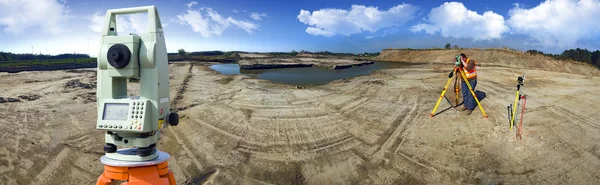
Stock image Geodezja

stock image Selective focus of digital level and surveyors with blueprint at background

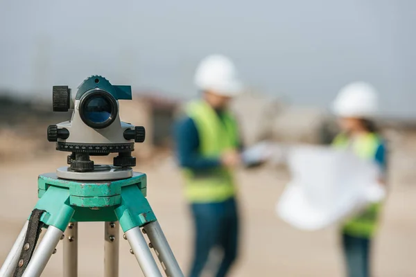
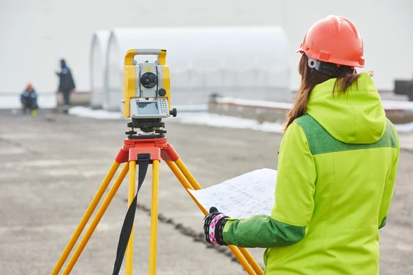
Selective Focus Of Digital Level And Surveyors With Blueprint At Background

Image, 6.67MB, 7190 × 4798 jpg
stock image surveyor works with theodolite

Surveyor Works With Theodolite

Image, 9.51MB, 6050 × 4038 jpg
stock image Surveyors measuring land on dirt road with construction site at background

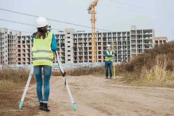
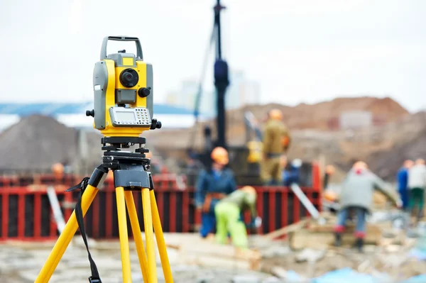
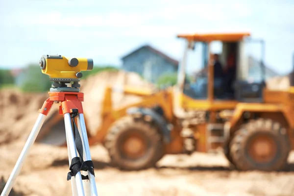
Surveyors Measuring Land On Dirt Road With Construction Site At Background

Image, 8.93MB, 7360 × 4912 jpg
stock vector Geodetic survey engineering vector flat glyph icons. Geodesy equipment, tacheometer, theodolite. Geological research, building measurements. Construction signs. Solid silhouette pixel perfect 64x64.

Geodetic Survey Engineering Vector Flat Glyph Icons. Geodesy Equipment, Tacheometer, Theodolite. Geological Research, Building Measurements. Construction Signs. Solid Silhouette Pixel Perfect 64x64.

Vector, 0.62MB, 2400 × 2400 eps
stock image Side view of surveyor with digital level measuring field

Side View Of Surveyor With Digital Level Measuring Field

Image, 8.46MB, 7360 × 4912 jpg
stock image Surveyor engineer making measure on the field

Surveyor Engineer Making Measure On The Field

Image, 10.71MB, 5616 × 3744 jpg
stock image Surveyor with digital level and colleague with blueprint

Surveyor With Digital Level And Colleague With Blueprint

Image, 8.18MB, 4912 × 7360 jpg
stock image Surveyor equipment at construction site

Surveyor Equipment At Construction Site

Image, 11.27MB, 6050 × 4038 jpg
stock image Surveyors working with digital level in field

Surveyors Working With Digital Level In Field

Image, 10MB, 7360 × 4912 jpg
stock vector Vector Surveying Concept

Vector Surveying Concept

Vector, 2.95MB, 5000 × 5000 eps
stock image Side view of surveyor looking through digital level in field

Side View Of Surveyor Looking Through Digital Level In Field

Image, 9.65MB, 7360 × 4912 jpg
stock image Surveyor works with theodolite

Surveyor Works With Theodolite

Image, 4.32MB, 4000 × 2662 jpg
stock image Smiling surveyor with digital level showing thumb up gesture

Smiling Surveyor With Digital Level Showing Thumb Up Gesture

Image, 8.45MB, 7360 × 4912 jpg
stock image Surveyor equipment theodolite at construction site

Surveyor Equipment Theodolite At Construction Site

Image, 5.42MB, 4230 × 2815 jpg
stock image Smiling surveyors with digital level looking at blueprint on construction site

Smiling Surveyors With Digital Level Looking At Blueprint On Construction Site

Image, 12.95MB, 6830 × 4558 jpg
stock image Technology and construction

Technology And Construction

Image, 6.45MB, 5616 × 3744 jpg
stock image Surveyors working with digital level and tablet in field

Surveyors Working With Digital Level And Tablet In Field

Image, 7.87MB, 7360 × 4912 jpg
stock image Plans and maps

Plans And Maps

Image, 2.19MB, 3011 × 1928 jpg
stock image Surveyor with digital level pointing on blueprint to colleague

Surveyor With Digital Level Pointing On Blueprint To Colleague

Image, 8.55MB, 7360 × 4912 jpg
stock image Plans and maps

Plans And Maps

Image, 1.97MB, 2984 × 1574 jpg
stock image Surveyors with with digital level and tablet in field

Surveyors With With Digital Level And Tablet In Field

Image, 8.8MB, 7360 × 4912 jpg
stock image Surveyor equipment level at construction site

Surveyor Equipment Level At Construction Site

Image, 7.94MB, 5900 × 3938 jpg
stock image Side view of surveyor looking through digital level

Side View Of Surveyor Looking Through Digital Level

Image, 9.37MB, 7360 × 4912 jpg
stock image Surveyor equipment theodolite at construction site

Surveyor Equipment Theodolite At Construction Site

Image, 6.26MB, 4256 × 2832 jpg
stock image Selective focus of surveyors with digital level and survey ruler on construction site

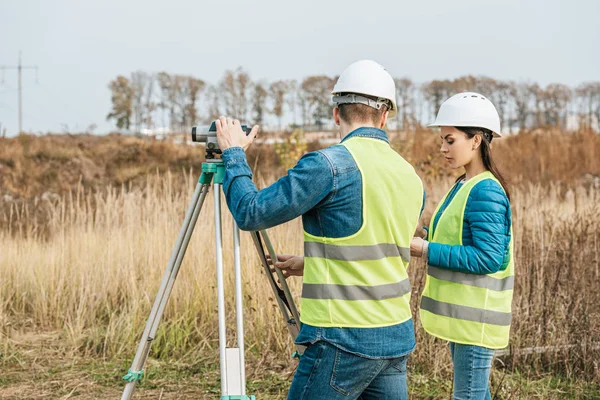
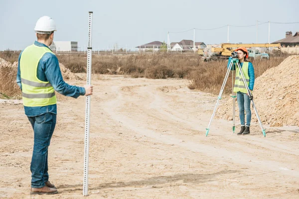
Selective Focus Of Surveyors With Digital Level And Survey Ruler On Construction Site

Image, 11.64MB, 6747 × 4503 jpg
stock image Theodolite survey outdoors

Theodolite Survey Outdoors

Image, 10.95MB, 6458 × 2000 jpg
stock image Surveyors with digital level and survey ruler working on dirt road

Surveyors With Digital Level And Survey Ruler Working On Dirt Road

Image, 8.8MB, 7138 × 4764 jpg
stock image surveyor works with theodolite

Surveyor Works With Theodolite

Image, 11.44MB, 6050 × 4038 jpg
stock image Surveyor looking through digital level in field

Surveyor Looking Through Digital Level In Field

Image, 8MB, 7360 × 4912 jpg
stock vector Topographic or wooden texture in round shapes. Hand drawn relief contour. Graphic terrain surface stamps isolated on white background. Vector outline illustration.

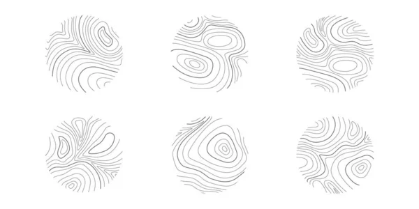
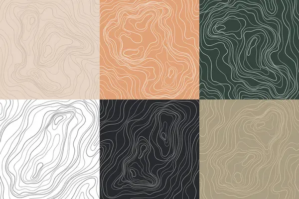
Topographic Or Wooden Texture In Round Shapes. Hand Drawn Relief Contour. Graphic Terrain Surface Stamps Isolated On White Background. Vector Outline Illustration.

Vector, 1.53MB, 6000 × 3000 eps
stock image Attractive smiling surveyor working with digital level

Attractive Smiling Surveyor Working With Digital Level

Image, 10.3MB, 4912 × 7360 jpg
stock vector building surveyor vector line icon, sign, illustration on background, editable strokes

Building Surveyor Vector Line Icon, Sign, Illustration On Background, Editable Strokes

Vector, 1.57MB, 6000 × 6000 eps
stock image Digital level on tripod with construction site on background

Digital Level On Tripod With Construction Site On Background

Image, 5.68MB, 7360 × 4912 jpg
stock image Survey equipment theodolite on a tripod

Survey Equipment Theodolite On A Tripod

Image, 2.17MB, 3519 × 5279 jpg
stock image Digital level for geodesy measuring on tripod

Digital Level For Geodesy Measuring On Tripod

Image, 5.55MB, 7360 × 4912 jpg
stock image Geodesist two man equipment on construction site

Geodesist Two Man Equipment On Construction Site

Image, 10.26MB, 5983 × 3989 jpg
stock image Smiling surveyor looking through digital level and showing thumb up gesture

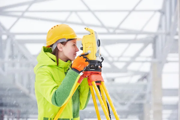
Smiling Surveyor Looking Through Digital Level And Showing Thumb Up Gesture

Image, 9.52MB, 7360 × 4912 jpg
stock vector Topography Map Background. Vector Web Banner.

Topography Map Background. Vector Web Banner.

Vector, 2.67MB, 6500 × 3611 eps
stock image Side view of surveyor with digital level looking away

Side View Of Surveyor With Digital Level Looking Away

Image, 5.93MB, 6910 × 4612 jpg
stock vector Earth Exploration Isometric Composition

Earth Exploration Isometric Composition

Vector, 0.97MB, 6300 × 4500 eps
stock image Selective focus of surveyors measuring land with digital level on construction site

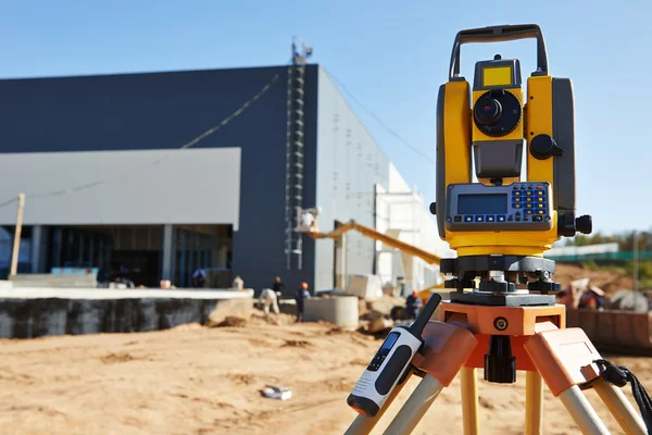
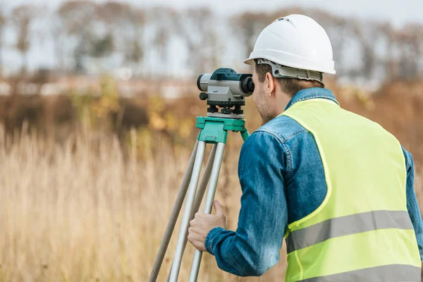
Selective Focus Of Surveyors Measuring Land With Digital Level On Construction Site

Image, 8.34MB, 7360 × 4912 jpg
stock image hands of a surveyor using differential GPS

Hands Of A Surveyor Using Differential GPS

Image, 8.36MB, 4643 × 3075 jpg
stock image Smiling Surveyor looking through digital level

Smiling Surveyor Looking Through Digital Level

Image, 7.14MB, 7012 × 4680 jpg
stock vector Topography Map Background. Vector Web Banner.

Topography Map Background. Vector Web Banner.

Vector, 0.84MB, 6500 × 3611 eps
stock image Female surveyor with radio set looking through digital level

Female Surveyor With Radio Set Looking Through Digital Level

Image, 7.89MB, 7360 × 4912 jpg
stock vector Topographic contour illustration wallpaper hand drawn set. Background concept poster collection. Lines and contours concept relief of mountains.

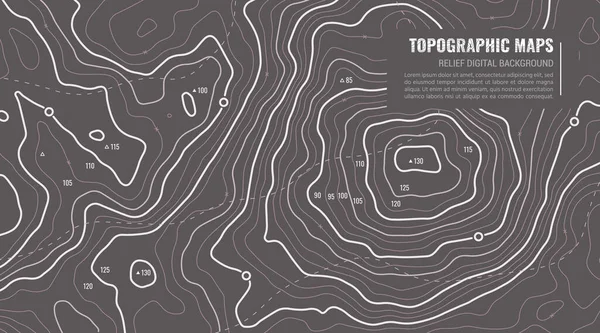
Topographic Contour Illustration Wallpaper Hand Drawn Set. Background Concept Poster Collection. Lines And Contours Concept Relief Of Mountains.

Vector, 1.33MB, 6805 × 4537 eps
stock image Surveyor with digital level smiling at camera with building materials at background

Surveyor With Digital Level Smiling At Camera With Building Materials At Background

Image, 8.33MB, 7360 × 4912 jpg
stock vector Surveyors line vector icons and signs. Mapping, Geologists, Survey, Measurement, Surveying, Geomatics, Civil, Cartography vector outline illustration set

Surveyors Line Vector Icons And Signs. Mapping, Geologists, Survey, Measurement, Surveying, Geomatics, Civil, Cartography Vector Outline Illustration Set

Vector, 0.66MB, 4160 × 6000 eps
stock image Digital level on tripod with sand mounds on background

Digital Level On Tripod With Sand Mounds On Background

Image, 6.39MB, 7360 × 4912 jpg
stock vector Topographical vector background with place for text. Geodesy contouring map texture with line contours of terrain. Geographic relief mountains landscape. Topography and cartography pattern

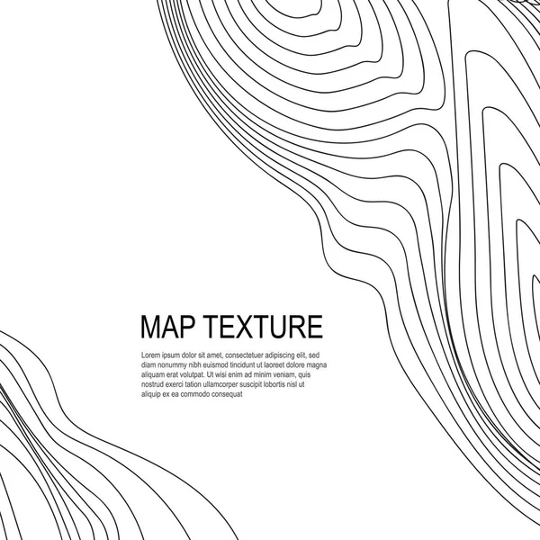
Topographical Vector Background With Place For Text. Geodesy Contouring Map Texture With Line Contours Of Terrain. Geographic Relief Mountains Landscape. Topography And Cartography Pattern

Vector, 1.34MB, 5000 × 5000 eps
Page 1 >> Next