
Stock image Geographic Features
Bognor Regis, United Kingdom - October 21 2020: Bognor Sea Front On A Grey Day As Seen From The Pier
Image, 9.5MB, 5552 × 3253 jpg

Wookey Hole, United Kingdom - August 23 2020: A Dramatically Lit Lake In The Caves Of Wookey Hole
Image, 11.32MB, 4778 × 3092 jpg

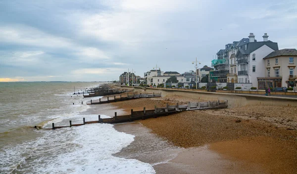
Hastings Pier Stretches Into The English Channel On A Sunny Summer Day
Image, 9.83MB, 5503 × 3037 jpg
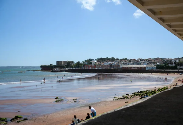
Paignton, United Kingdom - August 20 2020: The View Along Paignton Beach To The Harbour On Eastern Esplanade
Image, 7.5MB, 5228 × 3595 jpg
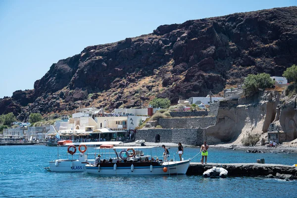
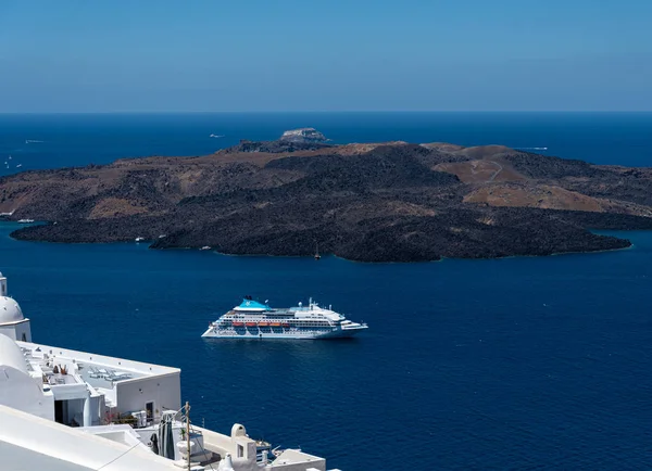
Akrotiri, Greece - July 19 2019: Tourists Boarding A Small Tour Boat On The Dock Of Akrotiri
Image, 15.8MB, 5568 × 3712 jpg
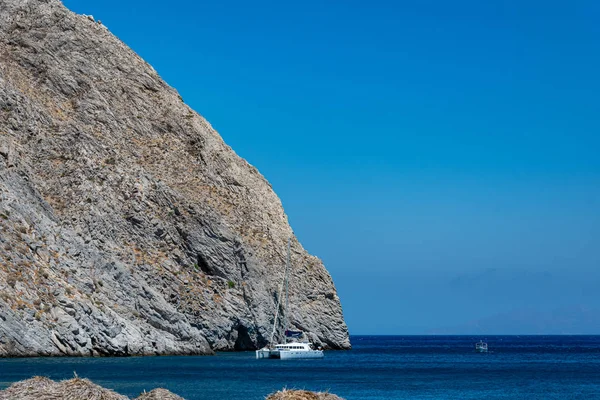

Coast And Sea Landscape At Megalochori On Santorini Island In Greece.
Image, 7.15MB, 5000 × 3333 jpg
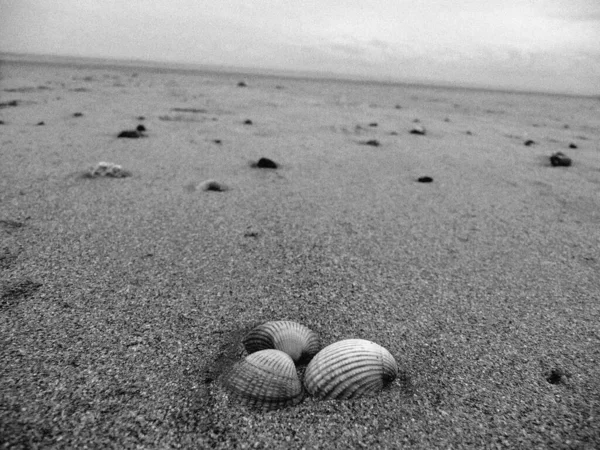
The Receeding Tide Has Left Shells Scattered On The Beach At Camber Sands In East Sussex.
Image, 7.18MB, 3456 × 2592 jpg
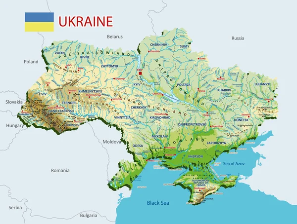
Topographic Map Of Ukraine. Geographic Map Of Ukraine With Borders Of The Regions. High Detailed Ukraine Physical Map With Labeling. Atlas Of Ukraine With Rivers, Lakes, Seas, Mountains And Plains.Vector Illustration
Vector, 24.11MB, 5458 × 4134 eps

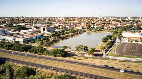
Aerial Drone View Of Barretos, SP, Capturing The City's Unique Layout, Iconic Landmarks, And Vibrant Urban Life
Image, 7.38MB, 3840 × 2160 jpg

Aerial View Of The Stunning Columbia Gorge In Mosier, Oregon. The Vivid Blue River Winds Through A Rugged Landscape With Lush Greenery, Captured From Rowena Crest Viewpoint. Perfect For Travel And
Image, 13.67MB, 4640 × 2607 jpg
Aerial Drone View Of Barretos, SP, Capturing The City's Unique Layout, Iconic Landmarks, And Vibrant Urban Life
Image, 6.6MB, 3712 × 2088 jpg
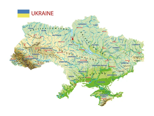
Topographic Map Of Ukraine. Geographic Map Of Ukraine With Borders Of The Regions. High Detailed Ukraine Physical Map With Labeling. Atlas Of Ukraine With Rivers, Lakes, Seas, Mountains And Plains.Vector Illustration
Vector, 21.72MB, 5458 × 4134 eps

Aerial View Of Arch Rock Along The Rugged Oregon Coastline At Sunset. The Warm Glow Of The Golden Hour Highlights The Forested Cliffs, Scattered Rock Formations, And Expansive Sea, Creating A Tranquil
Image, 16.01MB, 5272 × 2962 jpg
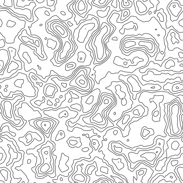


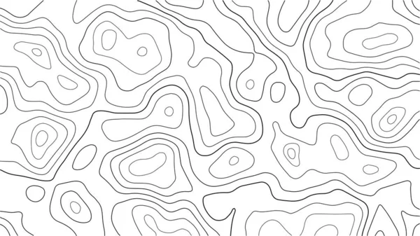
Seamless Topographic Map Contour Background. Topo Map With Elevation. Contour Map Vector. Geographic World Topography Seamless Texture Vector Illustration .
Vector, 3.8MB, 5556 × 5556 eps


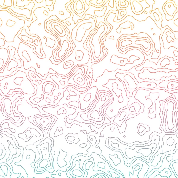
Vector Abstract Blue Earth Relief Map. Generated Conceptual Elevation Map. Isolines Of Landscape Surface Elevation. Geographic Map Conceptual Design. Elegant Background For Presentations.
Vector, 4.94MB, 5000 × 5000 eps
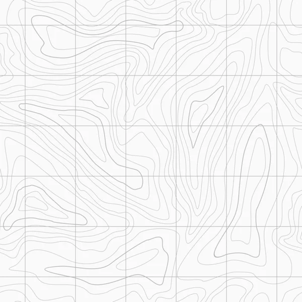


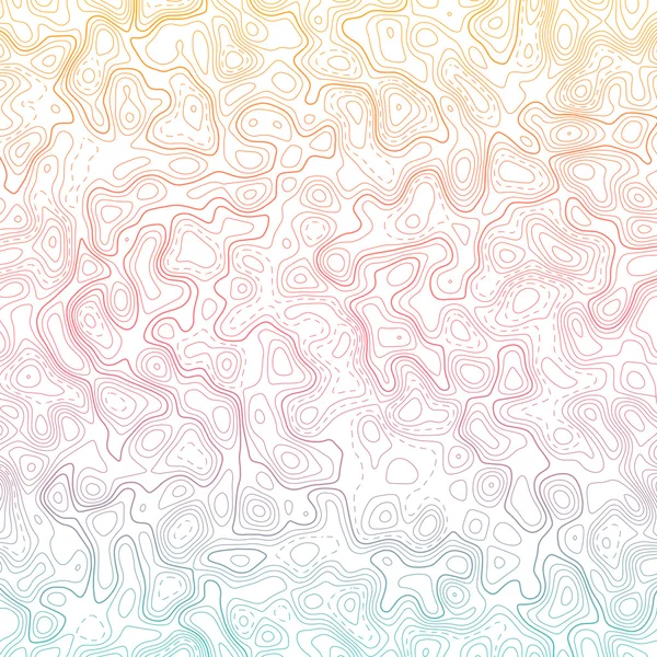
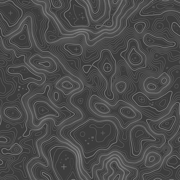
Topographic Map Lines, Earth Relief, Contour Seamless Background. Geographic Grid, Elevation Map, In Gray Colors. Vector Abstract Pattern.
Vector, 5.83MB, 4167 × 4167 eps

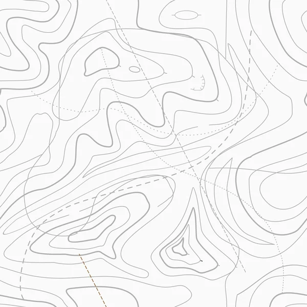
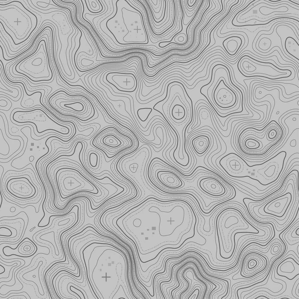
Relief Topographic Map Of The Area With High-level Contour Contours And Geodetic Grid. Abstract Vectror Line Background Isolated On White.
Vector, 5.43MB, 6250 × 6250 eps
Seamless Topographic Map Contour Background. Topo Map With Elevation. Contour Map Vector. Geographic World Topography Seamless Texture Vector Illustration .
Vector, 3.81MB, 5556 × 5556 eps


Seamless Topographic Map Contour Background. Topo Map With Elevation. Contour Map Vector. Geographic World Topography Seamless Texture Vector Illustration .
Vector, 3.81MB, 5556 × 5556 eps

Vector Abstract Earth Relief Map. Generated Conceptual Elevation Map. Isolines Of Landscape Surface Elevation. Geographic Map Conceptual Design. Elegant Background For Presentations.
Vector, 1.99MB, 5000 × 5000 eps

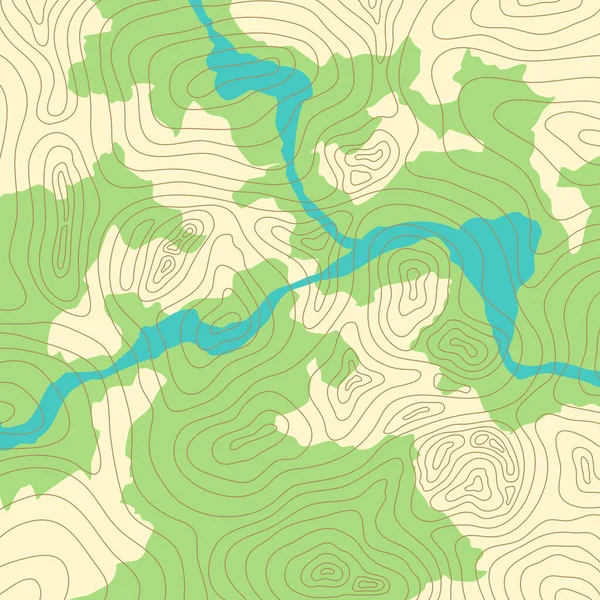
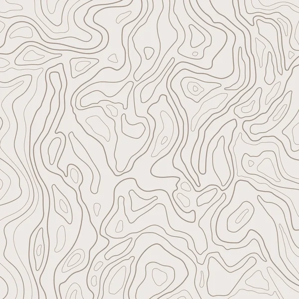
Map Of Heights Seamless Pattern. Contour Topographic Maps, Relief Texture And Topographical Mountains And Plains Vector Illustration
Vector, 1.06MB, 4500 × 4500 eps
Relief Topographic Map Of The Area With High-level Contour Contours And Geodetic Grid. Abstract Vectror Line Background Isolated On White.
Vector, 6.15MB, 6250 × 4167 eps
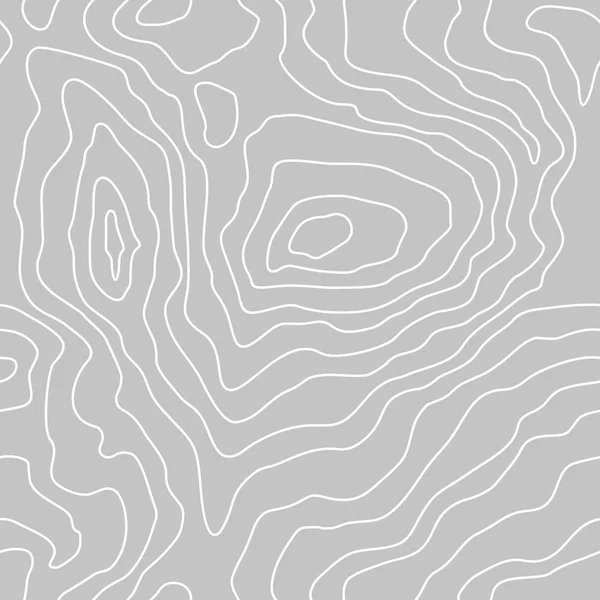
Topographic Map Lines, Earth Relief, Contour Background. Geographic Grid, Elevation Map, Vector Abstract.
Vector, 0.86MB, 4167 × 4167 ai

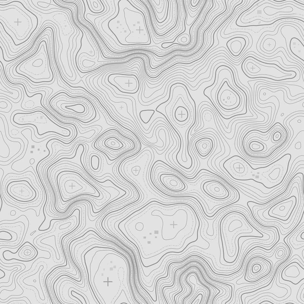
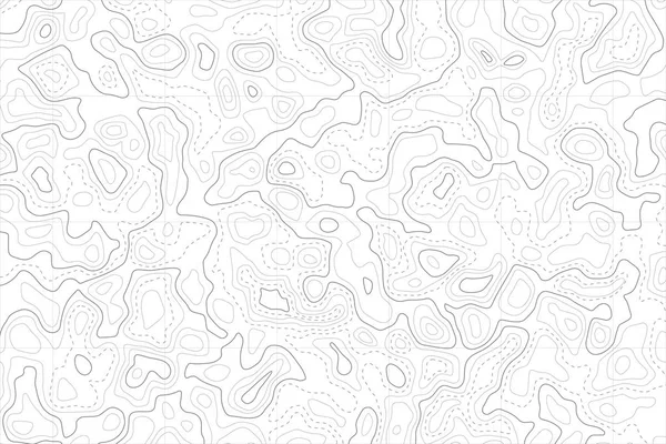
Topographic Map Contour Background Pattern. Contour Landscape Map Concept. Abstract Geographic World Topography Map. Vector Illustration
Vector, 1.28MB, 5000 × 5000 eps

Vector Abstract Earth Relief Map Seamless Pattern. Generated Conceptual Elevation Map. Isolines Of Landscape Surface Elevation. Geographic Map Conceptual Design. Elegant Background For Presentations.
Vector, 0.63MB, 5125 × 5125 eps

Topographic Map Vector Background. Mountains Contour Map Design. Geographic And Cartography Pattern
Vector, 5.32MB, 5005 × 3535 eps

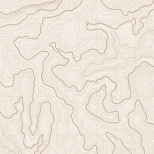
Topographic Map Vector Background. Topo Contour Map On White Background. Geographic Pattern
Vector, 5.26MB, 4971 × 3511 eps

Height Abstract. Topo Map Elevation Lines. Contour Vector Abstract Vector Illustration. Geographic World Topography.
Vector, 0.6MB, 7120 × 4000 eps


Abstract Curves Red Lines Vector Illustration On Dark Purple Background
Vector, 6.44MB, 9375 × 3125 eps
Page 1 >> Next