
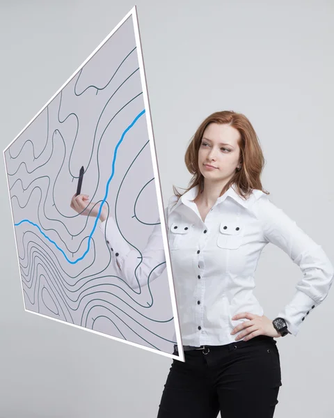
Stock image Geographical Information System
Geographic Information Systems Concept, Woman Scientist Working With Futuristic GIS Interface On A Transparent Screen.
Image, 6.94MB, 4752 × 3600 jpg

GIS, Geographic Information System. Concept With People, Letters And Icons. Flat Vector Illustration. Isolated On White Background.
Vector, 0.4MB, 9566 × 5000 eps

Geographic Information Systems Concept, Woman Scientist Working With Futuristic GIS Interface On A Transparent Screen.
Image, 4.77MB, 3750 × 2500 jpg

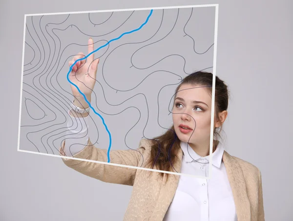
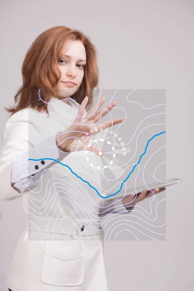
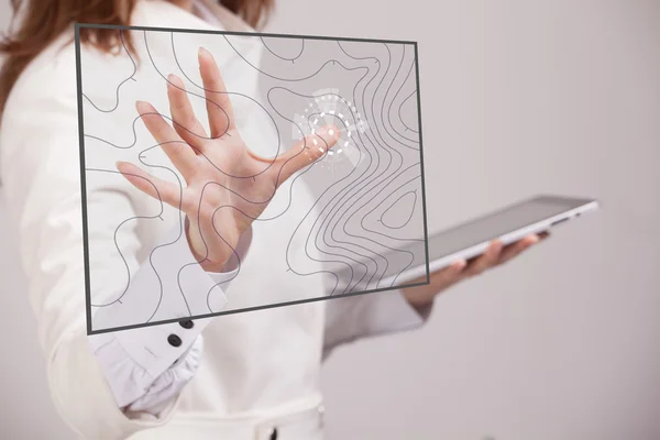
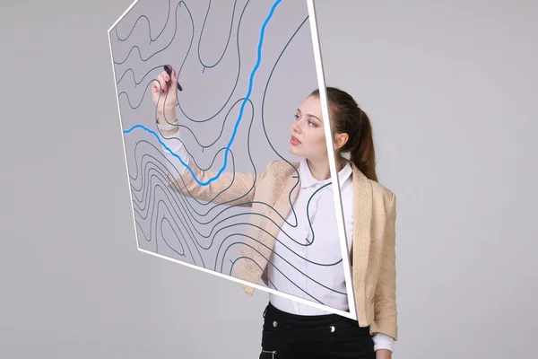
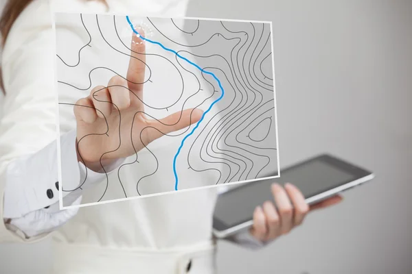
Geographic Information Systems Concept, Woman Scientist Working With Futuristic GIS Interface On A Transparent Screen.
Image, 1.94MB, 3015 × 2010 jpg

GIS Software Concept, Geographic Information System. Vector Illustration.
Vector, 0.64MB, 7576 × 4999 eps

Geographic Information Systems Concept, Woman Scientist Working With Futuristic GIS Interface On A Transparent Screen.
Image, 4.3MB, 3750 × 2500 jpg

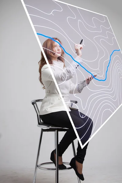
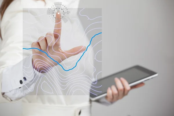
Future Technology, Navigation, Location Concept. Woman Showing Transparent Screen With Gps Navigator Map.
Image, 6.15MB, 5616 × 3744 jpg

Geographic Information Systems Concept, Woman Scientist Working With Futuristic GIS Interface On A Transparent Screen.
Image, 3.28MB, 3750 × 2500 jpg
Geographic Information Systems Concept, Woman Scientist Working With Futuristic GIS Interface On A Transparent Screen.
Image, 3.14MB, 2010 × 3015 jpg

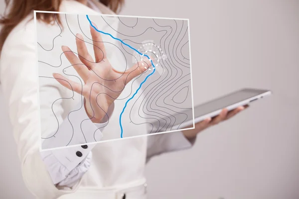
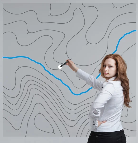
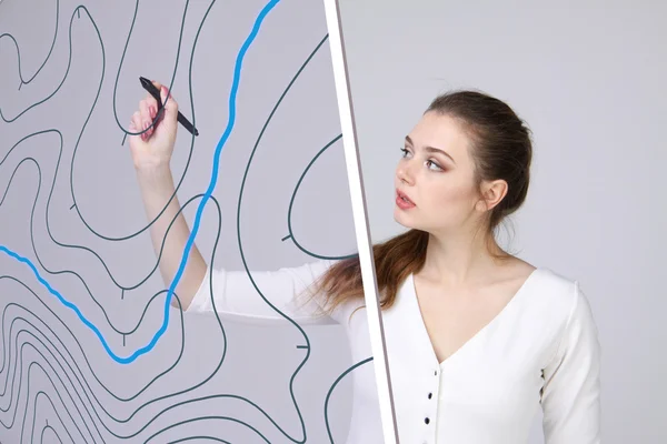
Woman Specialist And Urban Planner Working With The Interactive Subway Map.
Image, 3.36MB, 3750 × 2500 jpg

Woman Specialist And Urban Planner Working With The Interactive Subway Map.
Image, 2.79MB, 3015 × 2010 jpg

Geographic Information Systems Concept, Woman Scientist Working With Futuristic GIS Interface On A Transparent Screen.
Image, 4.44MB, 3750 × 2500 jpg


GIS Software Concept, Geographic Information System. Vector Illustration.
Vector, 0.44MB, 7000 × 4459 eps
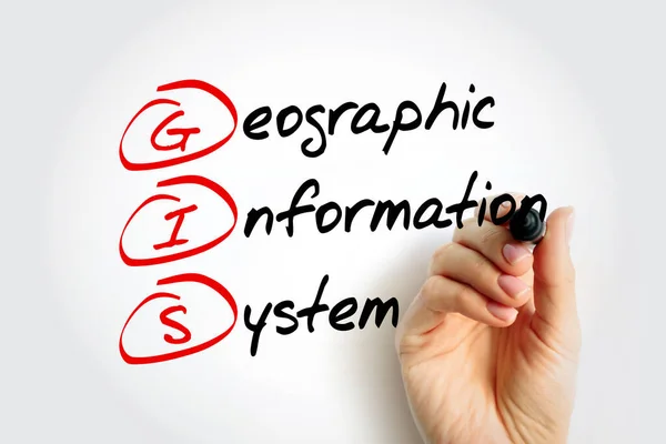
GIS Geographic Information System - Type Of Database Containing Geographic Data With Software Tools For Managing, Analyzing, And Visualizing Those Data, Acronym Text With Marker
Image, 3.91MB, 5760 × 3840 jpg

Geographic Information Systems Concept, Woman Scientist Working With Futuristic GIS Interface On A Transparent Screen.
Image, 6.52MB, 5616 × 3744 jpg

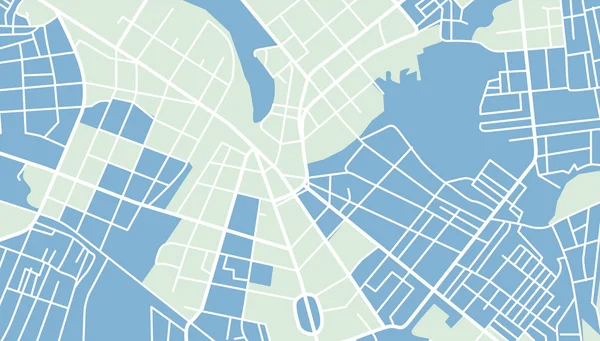
Hydrological Map Two Color Line Icon. Water Bodies Locations. Water System Mapping. Cartography Bicolor Outline Symbol. Duotone Linear Pictogram. Isolated Illustration. Editable Stroke
Vector, 0.58MB, 5000 × 5000 eps

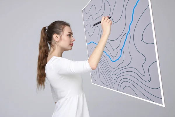
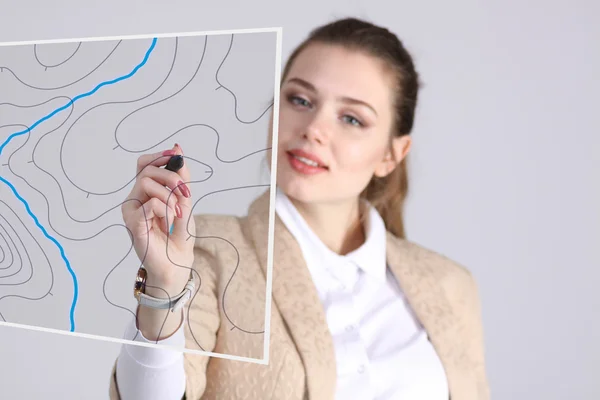
Geographic Information Systems Concept, Woman Scientist Working With Futuristic GIS Interface On A Transparent Screen.
Image, 2.78MB, 3015 × 2010 jpg
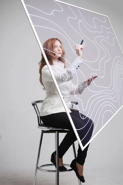
Geographic Information Systems Concept, Woman Scientist Working With Futuristic GIS Interface On A Transparent Screen.
Image, 6.78MB, 3744 × 5616 jpg

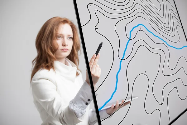
Geographic Information Systems Concept, Woman Scientist Working With Futuristic GIS Interface On A Transparent Screen.
Image, 6.57MB, 5616 × 3744 jpg

Geographic Information Systems Concept, Woman Scientist Working With Futuristic GIS Interface On A Transparent Screen.
Image, 3.44MB, 3750 × 2500 jpg

Geographic Information Systems Concept, Woman Scientist Working With Futuristic GIS Interface On A Transparent Screen.
Image, 3.23MB, 3015 × 2010 jpg

Geographic Information Systems Concept, Woman Scientist Working With Futuristic GIS Interface On A Transparent Screen.
Image, 2.3MB, 3015 × 2010 jpg
Geographic Information Systems Concept, Woman Scientist Working With Futuristic GIS Interface On A Transparent Screen.
Image, 2.86MB, 3015 × 2010 jpg
Geographic Information Systems Concept, Woman Scientist Working With Futuristic GIS Interface On A Transparent Screen.
Image, 4.51MB, 3750 × 2500 jpg

Geographic Information Systems Concept, Woman Scientist Working With Futuristic GIS Interface On A Transparent Screen.
Image, 7.13MB, 5616 × 3744 jpg

Future Technology, Navigation, Location Concept. Woman Showing Transparent Screen With Gps Navigator Map.
Image, 3.04MB, 3750 × 2500 jpg
Geographic Information Systems Concept, Woman Scientist Working With Futuristic GIS Interface On A Transparent Screen.
Image, 8.39MB, 4500 × 5616 jpg
Geographic Information Systems Concept, Woman Scientist Working With Futuristic GIS Interface On A Transparent Screen.
Image, 3.29MB, 3750 × 2500 jpg
Geographic Information Systems Concept, Woman Scientist Working With Futuristic GIS Interface On A Transparent Screen.
Image, 4.4MB, 3750 × 2500 jpg
Geographic Information Systems Concept, Woman Scientist Working With Futuristic GIS Interface On A Transparent Screen.
Image, 3.89MB, 3015 × 2010 jpg
Geographic Information Systems Concept, Woman Scientist Working With Futuristic GIS Interface On A Transparent Screen.
Image, 4.37MB, 3750 × 2500 jpg
Geographic Information Systems Concept, Woman Scientist Working With Futuristic GIS Interface On A Transparent Screen.
Image, 5.39MB, 4000 × 4123 jpg

Geographic Information Systems Concept, Woman Scientist Working With Futuristic GIS Interface On A Transparent Screen.
Image, 7.61MB, 5616 × 3744 jpg


Future Technology, Navigation, Location Concept. Woman Showing Transparent Screen With Gps Navigator Map.
Image, 4.3MB, 2500 × 3750 jpg
Geographic Information Systems Concept, Woman Scientist Working With Futuristic GIS Interface On A Transparent Screen.
Image, 2.78MB, 3015 × 2010 jpg

Geographic Information Systems Concept, Woman Scientist Working With Futuristic GIS Interface On A Transparent Screen.
Image, 5.57MB, 4000 × 4123 jpg
Geographic Information Systems Concept, Woman Scientist Working With Futuristic GIS Interface On A Transparent Screen.
Image, 2.74MB, 3015 × 2010 jpg

Geographic Information Systems Concept, Woman Scientist Working With Futuristic GIS Interface On A Transparent Screen.
Image, 6.06MB, 4500 × 3000 jpg
Geographic Information Systems Concept, Woman Scientist Working With Futuristic GIS Interface On A Transparent Screen.
Image, 3.25MB, 3750 × 2500 jpg


Geographic Information Systems Concept, Woman Scientist Working With Futuristic GIS Interface On A Transparent Screen.
Image, 4.63MB, 3168 × 3459 jpg
Geographic Information Systems Concept, Woman Scientist Working With Futuristic GIS Interface On A Transparent Screen.
Image, 3.11MB, 2010 × 3015 jpg

Geographic Information Systems Concept, Woman Scientist Working With Futuristic GIS Interface On A Transparent Screen.
Image, 2.69MB, 3015 × 2010 jpg

Geoinformatics And Geospatial Analysis - The Use Of Informatics And Science To Study Spatial And Geospatial Information - Conceptual Illustration
Image, 13.51MB, 6500 × 3656 jpg

Future Technology, Navigation, Location Concept. Woman Showing Transparent Screen With Gps Navigator Map.
Image, 6.38MB, 5616 × 3744 jpg
Page 1 >> Next