
Stock image Geoinformation

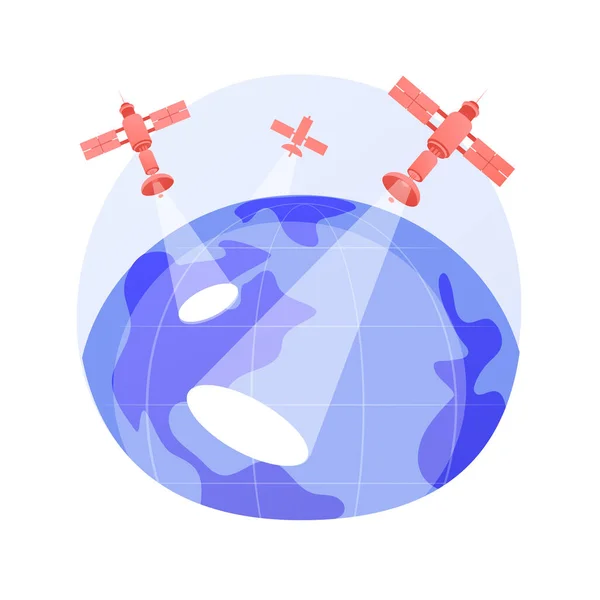
Geoinformatics And Geospatial Analysis - The Use Of Informatics And Science To Study Spatial And Geospatial Information - Conceptual Illustration
Image, 13.51MB, 6500 × 3656 jpg
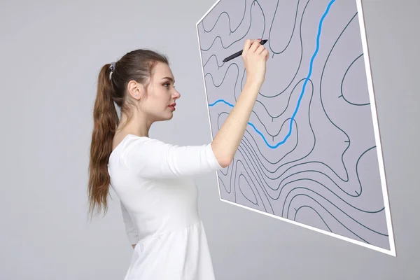
Geographic Information Systems Concept, Woman Scientist Working With Futuristic GIS Interface On A Transparent Screen.
Image, 2.86MB, 3015 × 2010 jpg
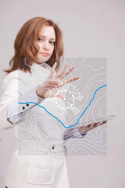
Geographic Information Systems Concept, Woman Scientist Working With Futuristic GIS Interface On A Transparent Screen.
Image, 6.78MB, 3744 × 5616 jpg
Page 1 >> Next