
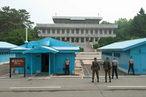
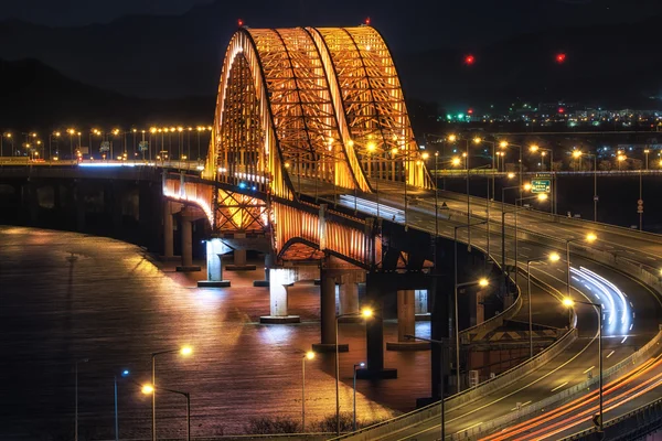
Stock image Gyeonggi Province

Korean Red Bean Bingsu Also Called Shaved Ice Placed On A Copper Bowel.
Image, 10.18MB, 6000 × 4000 jpg
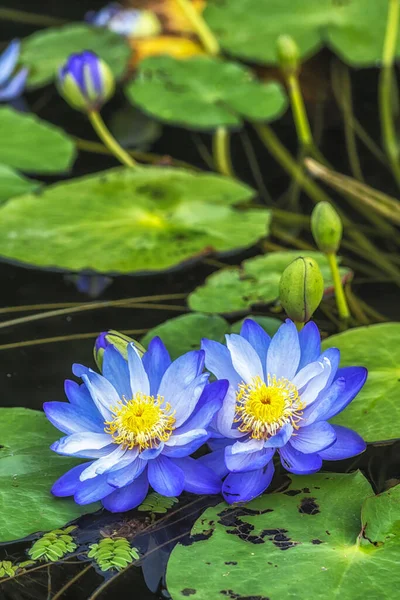
Various Colorful Lotus Flowers In Semiwon Garden In Yangpyeong, South Korea
Image, 10.63MB, 3825 × 5737 jpg
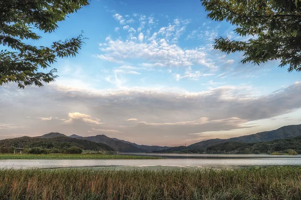
Dumulmeori Which Means Two Water Area River View Taken During Fall. Yangpyeong, South Korea
Image, 13.89MB, 6000 × 4000 jpg
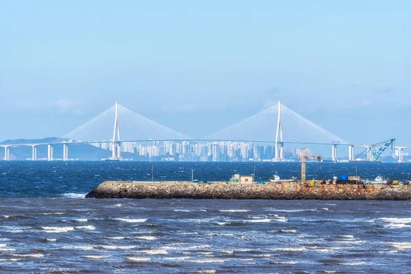
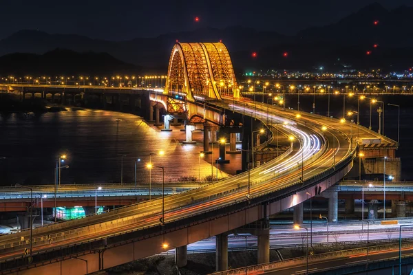
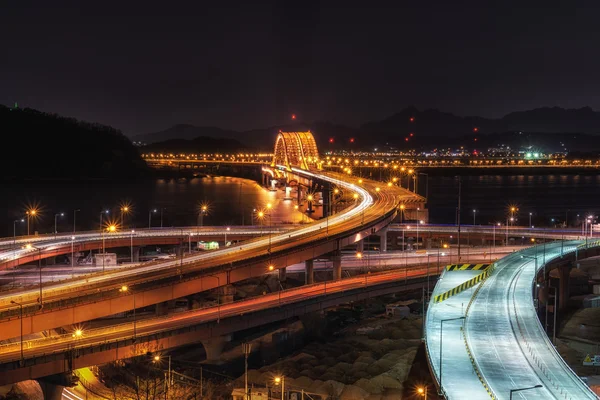
Bangameori Beach And The View Of Incheon Daegyo Bridge In Daebudo, South Korea
Image, 14.49MB, 6000 × 4000 jpg
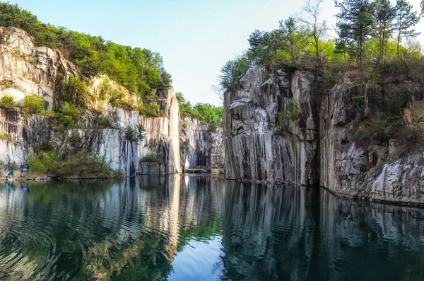
A Small Lake In Pocheon Art Valley. An Old Granite Quarry Turned Into Park With Famous Granite Cliffs Reflecting On The Lake.
Image, 6.57MB, 3257 × 2160 jpg

Dumulmeori Which Means Two Water Area River View Taken During Fall. Yangpyeong, South Korea
Image, 12.29MB, 6000 × 4000 jpg

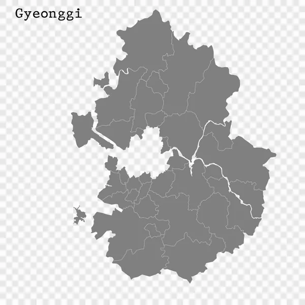
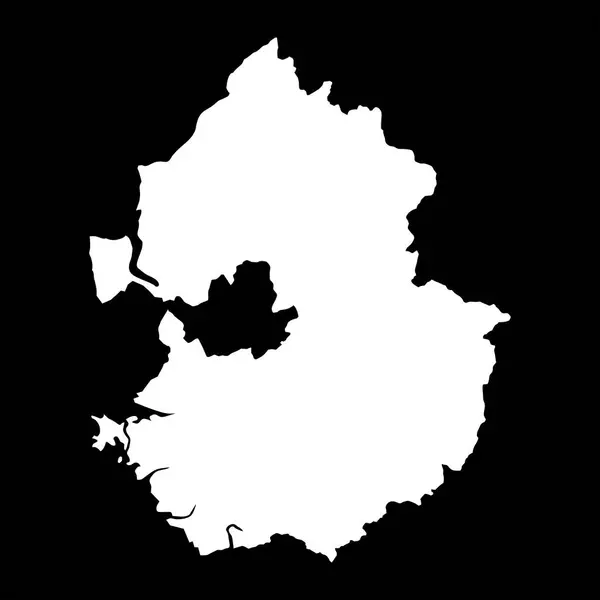
Blank Map Gyeonggi Province Of South Korea. High Quality Map Province Of Gyeonggi With Districts On Transparent Background For Your Web Site Design, Logo, App, UI. Republic Of Korea. EPS10.
Vector, 4.43MB, 5000 × 6668 eps

Map Of Goyang, South Korea. Detailed City Vector Map, Metropolitan Area With Border. Black And White Streetmap With Roads And Water.
Vector, 7.74MB, 4943 × 3529 eps

Suwon Hwaseong Fortress Is A Fortress Wall During The Joseon Dynasty And Is A World Heritage Site Owned By Korea.
Image, 11.79MB, 5656 × 3770 jpg


Symbol Map Of The Province Gyeonggi (South Korea) Showing The State/province With A Pattern Of Black Circles
Vector, 0.87MB, 6000 × 3340 eps
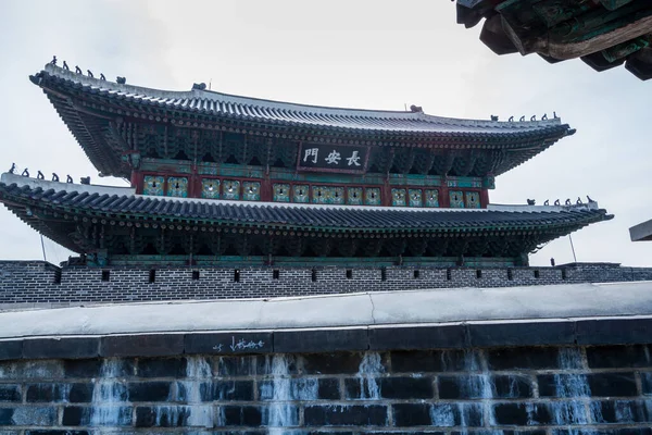
Janganmun Gate, Korea Traditional Landmark In The City Of Suwon Of South Korea. Hwaseong Fortress Is An Historic Building In The Latter Part Of The Joseon Dynasty.
Image, 10.77MB, 6000 × 4000 jpg
Gyeonggi Province Map, Province Of South Korea. Vector Illustration.
Vector, 5.43MB, 8334 × 8334 eps


Symbol Map Of The Province Gyeonggi (South Korea). Abstract Map Showing The State/province With A Pattern Of Black And White Squares Like A Chessboard
Vector, 0.64MB, 6000 × 3340 eps

Suwon Hwaseong Fortress Is A Fortress Wall During The Joseon Dynasty And Is A World Heritage Site Owned By Korea.
Image, 15.79MB, 6115 × 4076 jpg
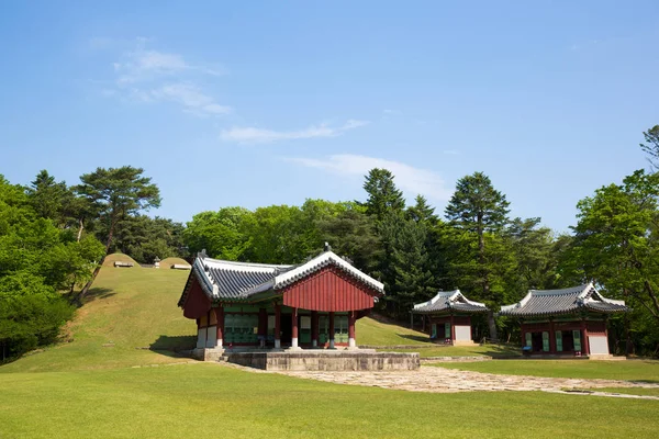

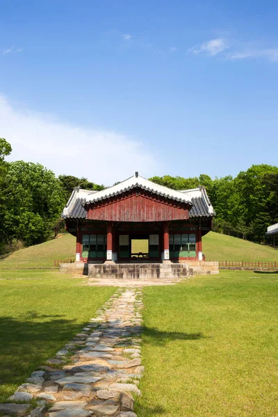
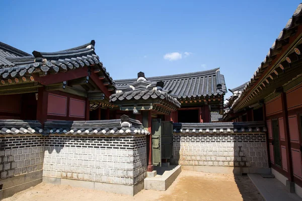
Traditional Houses In The City Of Suwon Of South Korea Near The Hwaseong Fortress, Traditional Landmark In The City Of Suwon.
Image, 12.02MB, 6000 × 4000 jpg

Symbol Map Of The Province Gyeonggi (South Korea) Showing The Territory With Concentric Circles In Rainbow Colors Like A Shooting Target
Vector, 0.59MB, 6000 × 3340 eps

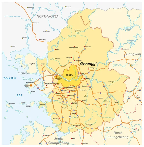
Administrative Map Of The South Korean Province Of Gyeonggi And The Capital Seoul
Vector, 2.8MB, 3100 × 3162 eps


Suwon Hwaseong Fortress Is A Fortress Wall During The Joseon Dynasty And Is A World Heritage Site Owned By Korea.
Image, 10.87MB, 5814 × 3877 jpg
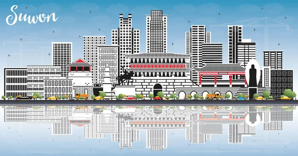
Suwon South Korea City Skyline With Color Buildings, Blue Sky And Reflections. Vector Illustration. Business Travel And Tourism Concept With Historic And Modern Architecture. Suwon Cityscape With Landmarks.
Vector, 11.48MB, 8150 × 4269 eps
Suwon Hwaseong Fortress Is A Fortress Wall During The Joseon Dynasty And Is A World Heritage Site Owned By Korea.
Image, 15MB, 6144 × 4096 jpg


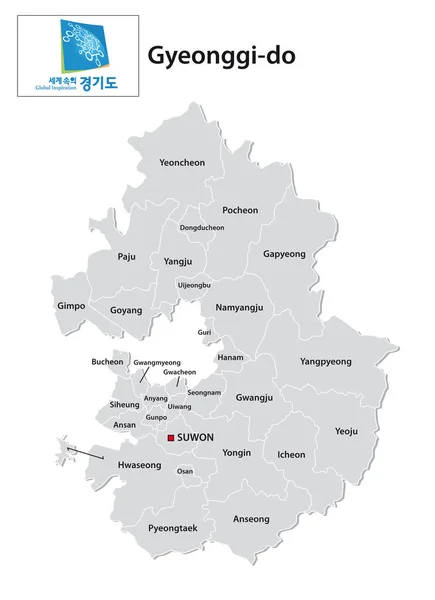
Administrative Vector Map Of The South Korean Province Of Gyeonggi-do With Flag
Vector, 0.83MB, 3100 × 4273 eps

Symbol Map Of The Province Gyeonggi (South Korea) Showing The Contour Of The State/province Buffered Inside In Rainbow Colors
Vector, 0.86MB, 6000 × 3340 eps
Expressway Map Of South Korea S Gyeonggi Province And The Capital Of Seoul
Vector, 2.2MB, 3100 × 3169 eps
Page 1 >> Next