photo free
Home Images Vectors Videos

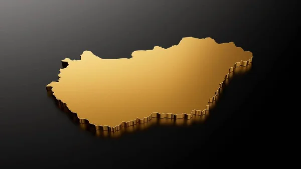
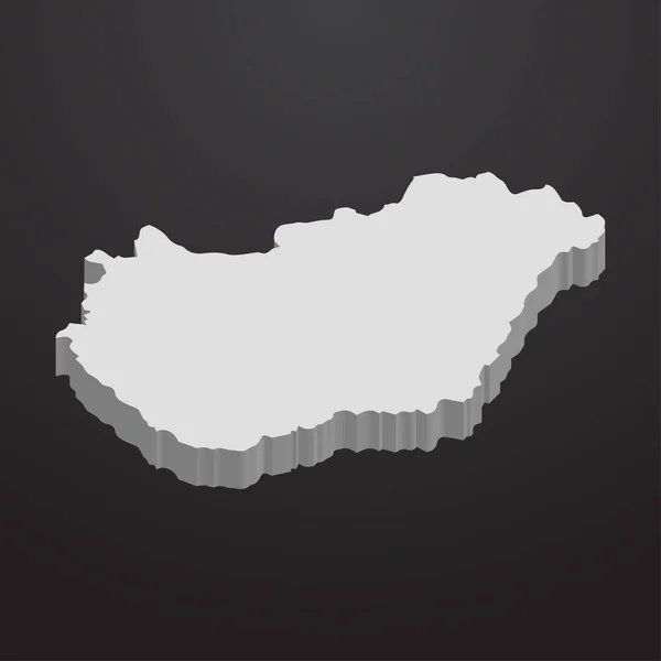
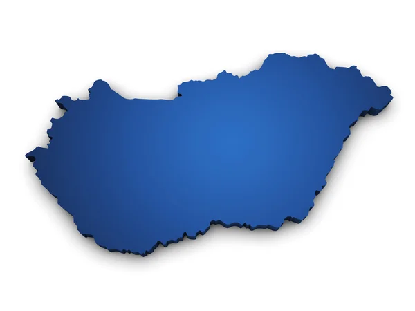
Stock image Hungary Map 3d

stock vector Blue-green detailed map of Hungary administrative divisions with country flag and location on the globe.

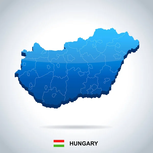
Blue-green Detailed Map Of Hungary Administrative Divisions With Country Flag And Location On The Globe.

Vector, 18.82MB, 5250 × 5588 eps
stock image A 3D illustration of Hungary's gold stone map on a black background

A 3D Illustration Of Hungary's Gold Stone Map On A Black Background

Image, 0.17MB, 4500 × 2531 jpg
stock vector Detailed Hungary administrative map with country flag and location on a blue globe.

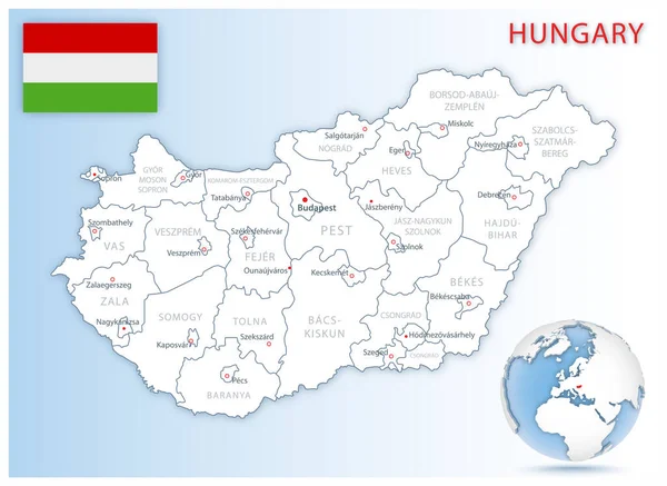
Detailed Hungary Administrative Map With Country Flag And Location On A Blue Globe.

Vector, 23.14MB, 7194 × 5251 eps
stock vector Hungary map glass card paper 3D vector

Hungary Map Glass Card Paper 3D Vector

Vector, 4.32MB, 4000 × 3978 eps
stock vector Isometric 3D Hungary map,  vector illustration with cities, borders, capital, administrative divisions and pointer marks; gradient blue background.  Concept for infographic.

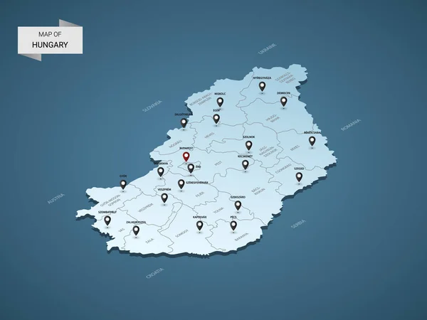
Isometric 3D Hungary Map, Vector Illustration With Cities, Borders, Capital, Administrative Divisions And Pointer Marks; Gradient Blue Background. Concept For Infographic.

Vector, 1.51MB, 4000 × 3000 eps
stock vector Hungary administrative blue-green map with country flag and location on a globe.

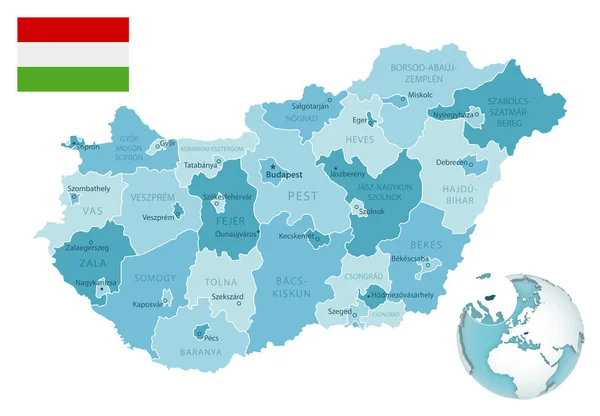
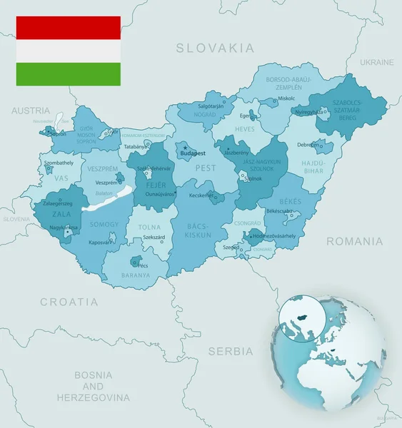
Hungary Administrative Blue-green Map With Country Flag And Location On A Globe.

Vector, 19.36MB, 8050 × 5588 eps
stock vector Republic of Hungary isolated map and official flag icons. vector Hungaian political map 3d illustration. Central Europe country geographic banner template

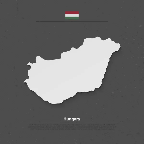
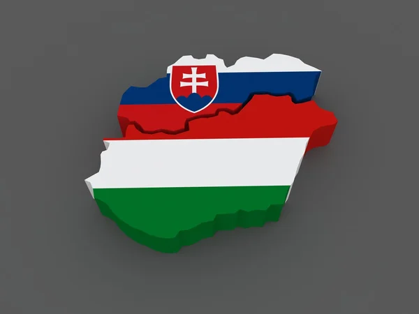
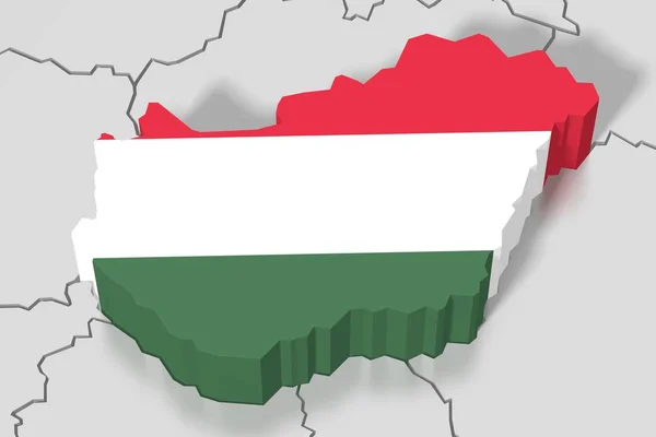
Republic Of Hungary Isolated Map And Official Flag Icons. Vector Hungaian Political Map 3d Illustration. Central Europe Country Geographic Banner Template

Vector, 1.82MB, 4000 × 4000 eps
stock vector vector Hungary Map card paper

Vector Hungary Map Card Paper

Vector, 4.92MB, 5165 × 4839 eps
stock vector Hungary map in gray on a black background 3d

Hungary Map In Gray On A Black Background 3d

Vector, 0.4MB, 4167 × 4167 eps
stock image Slovakia and Hungary. map.

Slovakia And Hungary. Map.

Image, 5MB, 5600 × 4200 jpg
stock vector Vector set of Hungary country.

Vector Set Of Hungary Country.

Vector, 7.59MB, 5400 × 3000 eps
stock vector Hungary map glowing silhouette outline made of stars lines dots triangles, low polygonal shapes.

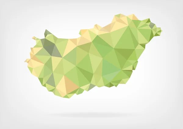
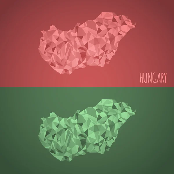
Hungary Map Glowing Silhouette Outline Made Of Stars Lines Dots Triangles, Low Polygonal Shapes.

Vector, 6.86MB, 4167 × 4167 eps
stock image Map Of Hungary 3d Shape

Map Of Hungary 3d Shape

Image, 1.96MB, 5600 × 4200 jpg
stock vector Isometric  3D Hungary map. Stylized vector map illustration with cities, borders, capital, administrative divisions and pointer marks; gradient background with grid.

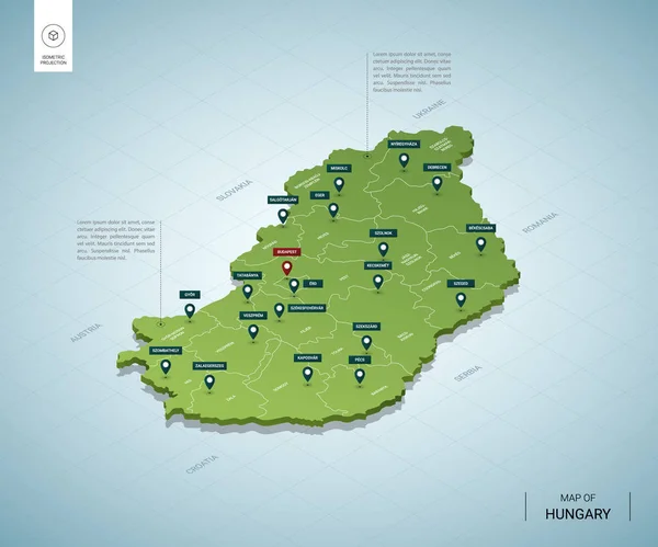
Isometric 3D Hungary Map. Stylized Vector Map Illustration With Cities, Borders, Capital, Administrative Divisions And Pointer Marks; Gradient Background With Grid.

Vector, 2MB, 4000 × 3000 eps
stock vector Stylized vector Hungary map.  Infographic 3d gold map illustration with cities, borders, capital, administrative divisions and pointer marks, shadow; gradient background.

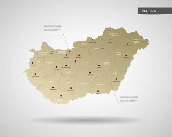
Stylized Vector Hungary Map. Infographic 3d Gold Map Illustration With Cities, Borders, Capital, Administrative Divisions And Pointer Marks, Shadow; Gradient Background.

Vector, 1.88MB, 3000 × 2400 eps
stock vector Stylized map of Hungary. Isometric 3D

Stylized Map Of Hungary. Isometric 3D

Vector, 2.47MB, 4800 × 4000 eps
stock vector Hungary map administrative division, separates regions and names individual region, card paper 3D natural vector

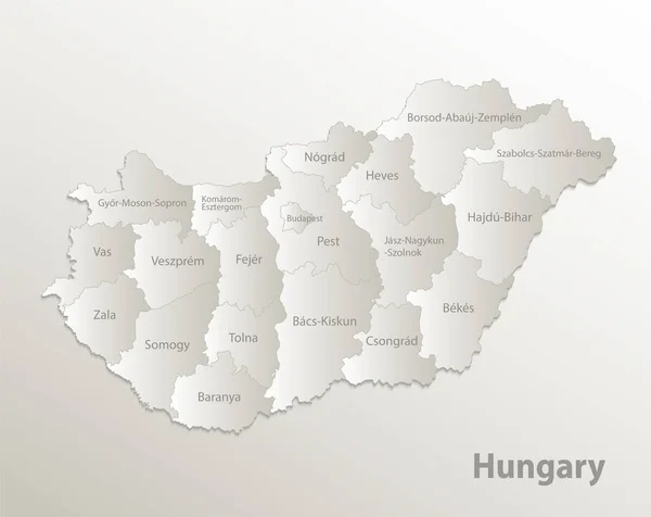
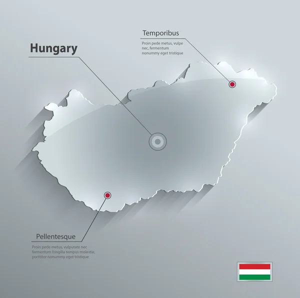
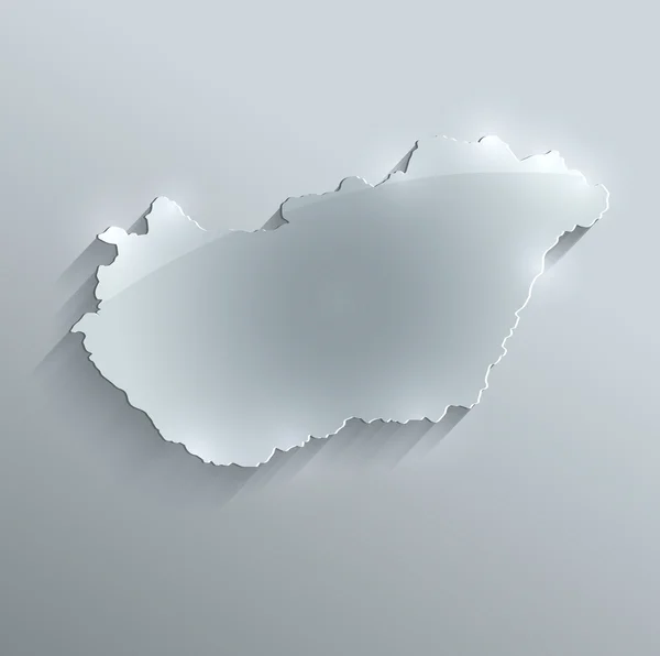
Hungary Map Administrative Division, Separates Regions And Names Individual Region, Card Paper 3D Natural Vector

Vector, 3.15MB, 4779 × 3800 eps
stock image Hungary Map

Hungary Map

Image, 0.93MB, 6000 × 4000 jpg
stock image Silhouette of Hungary map with flag

Silhouette Of Hungary Map With Flag

Image, 2.77MB, 4784 × 3284 jpg
stock vector Low Poly map of Hungary

Low Poly Map Of Hungary

Vector, 0.68MB, 7000 × 4948 eps
stock image Silhouette of Hungary map with flag

Silhouette Of Hungary Map With Flag

Image, 2.8MB, 4784 × 3284 jpg
stock image Hungary map

Hungary Map

Image, 1.33MB, 3912 × 3293 jpg
stock image 3D Europe map with marked borders - area of Hungary marked with Hungary flag - isolated on white background with space for text - 3D illustration

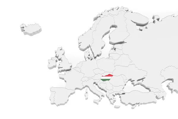
3D Europe Map With Marked Borders - Area Of Hungary Marked With Hungary Flag - Isolated On White Background With Space For Text - 3D Illustration

Image, 2.45MB, 6000 × 4000 jpg
stock image Map of Europe and Estonia.

Map Of Europe And Estonia.

Image, 2.4MB, 5600 × 4200 jpg
stock image Map of europe

Map Of Europe

Image, 1.2MB, 3600 × 2700 jpg
stock image Map of europe

Map Of Europe

Image, 1.2MB, 3600 × 2700 jpg
stock image Map of europe

Map Of Europe

Image, 2.14MB, 3600 × 2700 jpg
stock vector Hungary - map and flag - Detailed Vector Illustration

Hungary - Map And Flag - Detailed Vector Illustration

Vector, 2.07MB, 5500 × 5500 eps
stock vector Low Poly Hungary Map with National Colors

Low Poly Hungary Map With National Colors

Vector, 3.15MB, 4861 × 4861 eps
stock image Hungary map glass card paper 3D raster

Hungary Map Glass Card Paper 3D Raster

Image, 0.95MB, 4000 × 3978 jpg
stock image Hungary map card paper 3D natural raster

Hungary Map Card Paper 3D Natural Raster

Image, 0.72MB, 4000 × 4022 jpg
stock image 3D map, flag - Hungary

3D Map, Flag - Hungary

Image, 1.23MB, 4608 × 3072 jpg
stock image three-dimensional map of Europe.

Three-dimensional Map Of Europe.

Image, 4.2MB, 5600 × 4200 jpg
stock image puzzle with the national flag of hungary and romania on a world map background.

Puzzle With The National Flag Of Hungary And Romania On A World Map Background.

Image, 9.37MB, 6483 × 4327 jpg
stock image 3D European Union map/ flag - Hungary

3D European Union Map/ Flag - Hungary

Image, 2.78MB, 4608 × 3072 jpg
stock image Extended area of Hungary with country outline, international and regional borders. Topographic relief map. 3D rendering

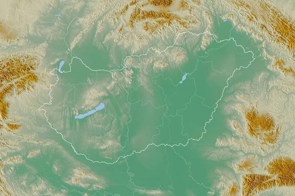
Extended Area Of Hungary With Country Outline, International And Regional Borders. Topographic Relief Map. 3D Rendering

Image, 7.4MB, 3000 × 2000 jpg
stock image Hungary Map Soil Land Geology Cross Section With Green Grass And Rock Ground Texture 3d illustration

Hungary Map Soil Land Geology Cross Section With Green Grass And Rock Ground Texture 3d Illustration

Image, 8.67MB, 4470 × 3108 jpg
stock image Hungary Map Soil Land Geology Cross Section With Green Grass And Rock Ground Texture 3d illustration

Hungary Map Soil Land Geology Cross Section With Green Grass And Rock Ground Texture 3d Illustration

Image, 10.51MB, 4432 × 3172 jpg
stock vector Europe map, new political detailed map, separate individual states, with state names,, glass card paper 3D

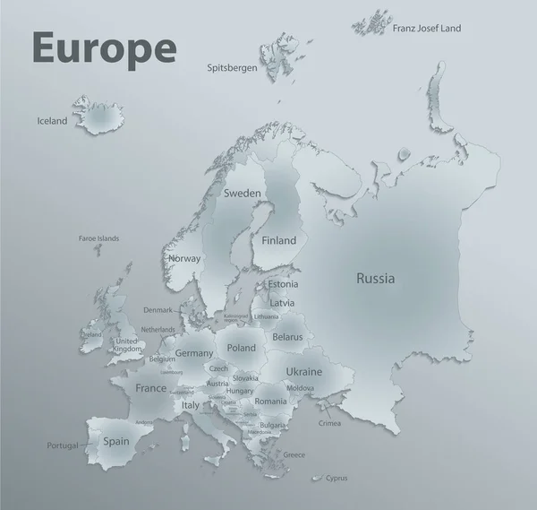
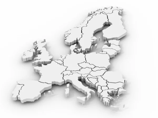
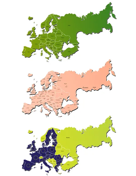
Europe Map, New Political Detailed Map, Separate Individual States, With State Names,, Glass Card Paper 3D

Vector, 17.39MB, 4216 × 4000 eps
stock image 3D Isolated Europe Map.

3D Isolated Europe Map.

Image, 4.09MB, 6752 × 4500 jpg
stock vector Europe detailed map and icons

Europe Detailed Map And Icons

Vector, 11.57MB, 8192 × 7660 eps
stock vector Europe map, new political detailed map, separate individual states, with state names, card paper 3D natural vector

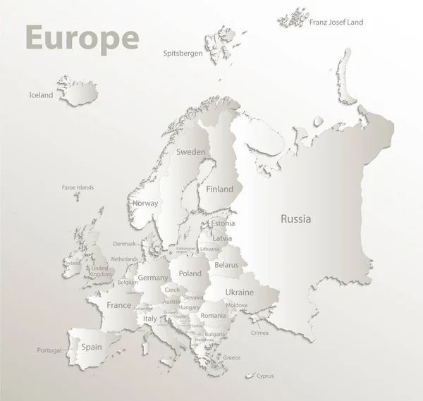
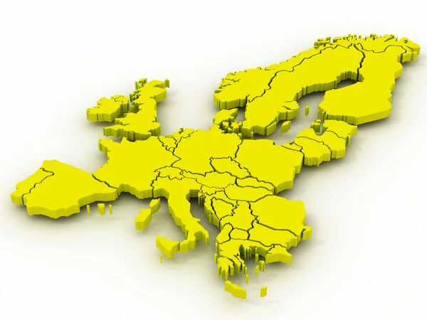
Europe Map, New Political Detailed Map, Separate Individual States, With State Names, Card Paper 3D Natural Vector

Vector, 20.86MB, 4216 × 4000 eps
stock vector Map pin with Budapest skyline

Map Pin With Budapest Skyline

Vector, 9.42MB, 7889 × 5983 eps
stock vector Hungary vector grey dot contour map

Hungary Vector Grey Dot Contour Map

Vector, 0.12MB, 6000 × 5100 eps
stock image Detailed Earth. Central Europe

Detailed Earth. Central Europe

Image, 9.49MB, 5000 × 5000 jpg
stock image Highly detailed Earth. Central Europe

Highly Detailed Earth. Central Europe

Image, 14.15MB, 8000 × 4000 jpg
stock vector Map pin with Budapest skyline

Map Pin With Budapest Skyline

Vector, 6.4MB, 7008 × 5039 eps
stock image Map of Europe and Ukraine.

Map Of Europe And Ukraine.

Image, 2.79MB, 5600 × 4200 jpg
stock image Detailed Earth. Italy, Greece and the Mediterranean Sea on a moo

Detailed Earth. Italy, Greece And The Mediterranean Sea On A Moo

Image, 13.07MB, 5000 × 5000 jpg
stock vector Europe map

Europe Map

Vector, 3.52MB, 4636 × 6000 eps
Page 1 >> Next