photo free
Home Images Vectors Videos

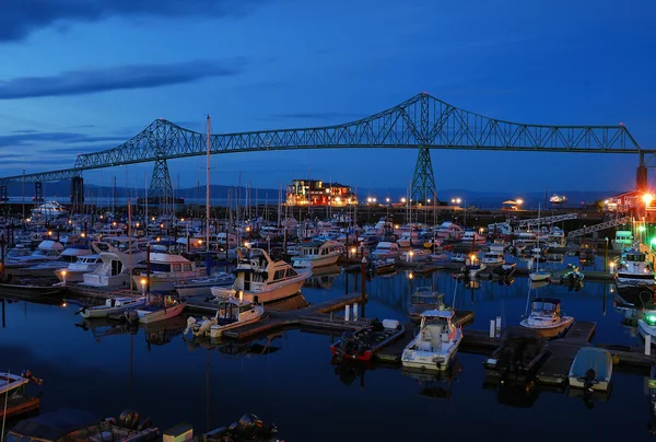
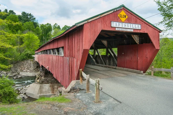
Stock image Hwy Bridge

stock image POV point of view - Driving south on Interstate highway I25.

POV Point Of View - Driving South On Interstate Highway I25.

Image, 2.91MB, 3500 × 1969 jpg
stock image Highway US interstate 70 through the Scioto Woods, Columbus, Ohio USA with aerial view

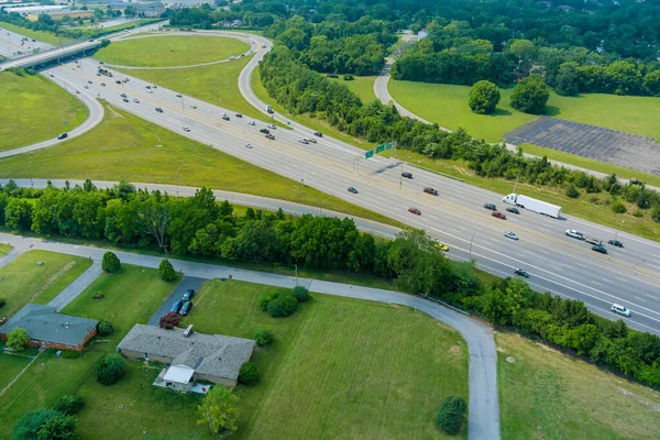
Highway US Interstate 70 Through The Scioto Woods, Columbus, Ohio USA With Aerial View

Image, 13.15MB, 4900 × 3266 jpg
stock image Mountain driving view

Mountain Driving View

Image, 1.39MB, 3500 × 1969 jpg
stock image Highway driving pov

Highway Driving Pov

Image, 1.57MB, 3500 × 1969 jpg
stock image POV point of view - Driving in the ciry early in the morning.

POV Point Of View - Driving In The Ciry Early In The Morning.

Image, 2.44MB, 3500 × 1969 jpg
stock image Highway driving pov

Highway Driving Pov

Image, 2.09MB, 3500 × 1969 jpg
stock image Highway driving view

Highway Driving View

Image, 2.09MB, 3500 × 1969 jpg
stock image Yaquina Bay Bridge

Yaquina Bay Bridge

Image, 8.06MB, 5074 × 3383 jpg
stock image Bixby Bridge

Bixby Bridge

Image, 11.36MB, 5472 × 3648 jpg
stock image Bixby Bridge

Bixby Bridge

Image, 13.83MB, 5184 × 3456 jpg
stock image Port Mann Bridge

Port Mann Bridge

Image, 5.84MB, 3992 × 2242 jpg
stock image Vancouver, BC Sep 18, 2018 - Port Mann Bridge, British Columbia near Vancouver

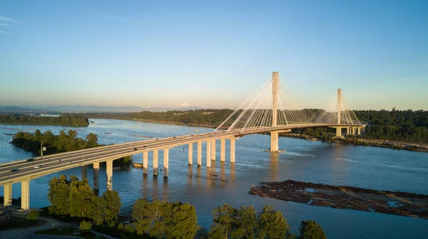
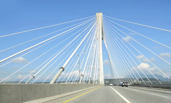
Vancouver, BC Sep 18, 2018 - Port Mann Bridge, British Columbia Near Vancouver

Image, 4.87MB, 4092 × 2479 jpg
stock image Rogue River Bridge Curry County Gold Beach Oregon Waterfront

Rogue River Bridge Curry County Gold Beach Oregon Waterfront

Image, 10.74MB, 6000 × 3035 jpg
stock image Bixby Bridge

Bixby Bridge

Image, 7.92MB, 4096 × 2734 jpg
stock image Cameron Suspension Bridge

Cameron Suspension Bridge

Image, 9.58MB, 3888 × 2592 jpg
stock image Water Fall with Foot Bridge crossing. Part of the Pacific Crest Trail.

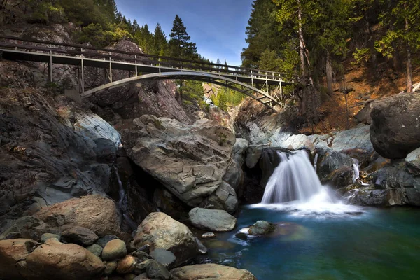
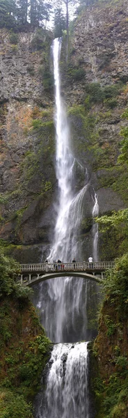
Water Fall With Foot Bridge Crossing. Part Of The Pacific Crest Trail.

Image, 6.77MB, 4000 × 2667 jpg
stock image Yaquina Bay

Yaquina Bay

Image, 6.28MB, 3439 × 2302 jpg
stock image A Pickup Pulling a Travel Trailer Across the Salt River Canyon B

A Pickup Pulling A Travel Trailer Across The Salt River Canyon B

Image, 4.83MB, 4472 × 3054 jpg
stock image The Tollway

The Tollway

Image, 4.58MB, 4928 × 3264 jpg
stock image Nisutlin Bay bridge in Teslin in Yukon north territory

Nisutlin Bay Bridge In Teslin In Yukon North Territory

Image, 5.98MB, 3500 × 2334 jpg
stock image Highway driving view

Highway Driving View

Image, 2.7MB, 3500 × 1969 jpg
stock image Freeway traffic

Freeway Traffic

Image, 7.19MB, 5616 × 3744 jpg
stock image Aerial Panoramic View of Trans-Canada Highway 1 in Fraser Valley

Aerial Panoramic View Of Trans-Canada Highway 1 In Fraser Valley

Image, 3.99MB, 3959 × 2968 jpg
stock image Oregon Road

Oregon Road

Image, 13.09MB, 5000 × 3337 jpg
stock image Old Mine

Old Mine

Image, 5.86MB, 4032 × 3024 jpg
stock image Beautiful wide shot of the Bixby bridge of California near sea during a starry night sky

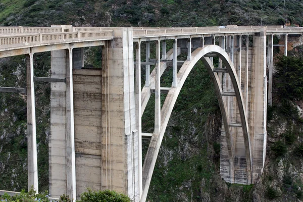
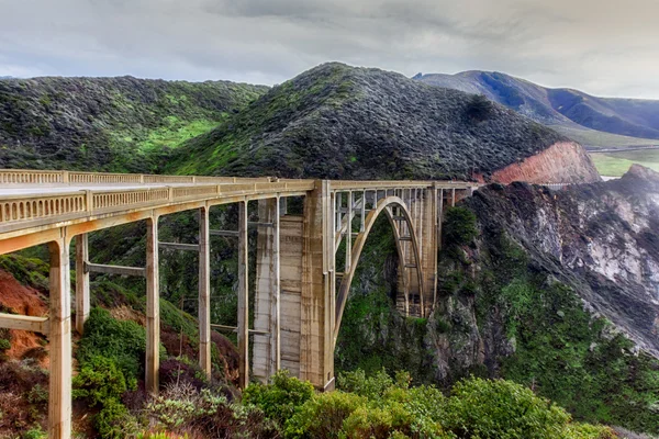
Beautiful Wide Shot Of The Bixby Bridge Of California Near Sea During A Starry Night Sky

Image, 23.33MB, 6720 × 4480 jpg
stock image Aerial View from an Airplane of a junction at Trans-Canada Highway.

Aerial View From An Airplane Of A Junction At Trans-Canada Highway.

Image, 18.24MB, 7644 × 4000 jpg
stock image Astoria

Astoria

Image, 7.34MB, 3751 × 2529 jpg
stock image Mountain driving view

Mountain Driving View

Image, 2.89MB, 3500 × 1969 jpg
stock image Road and bridge designed by Eiffel in Durcal, Granada

Road And Bridge Designed By Eiffel In Durcal, Granada

Image, 4.14MB, 4028 × 2668 jpg
stock image The Dalles dam & river, Oregon.

The Dalles Dam & River, Oregon.

Image, 14.15MB, 5616 × 3744 jpg
stock image Multnomah Falls vertical panorama.

Multnomah Falls Vertical Panorama.

Image, 13.55MB, 2257 × 7349 jpg
stock image Covered Bridge in Taftsville Vermont

Covered Bridge In Taftsville Vermont

Image, 6.9MB, 3900 × 2611 jpg
stock image Highway By Night

Highway By Night

Image, 12.31MB, 5616 × 3744 jpg
stock image California Central Coast at Big Sur

California Central Coast At Big Sur

Image, 10.8MB, 5184 × 3456 jpg
stock image Mountain driving view

Mountain Driving View

Image, 3.34MB, 3500 × 1969 jpg
stock image Scenic Oregon Road

Scenic Oregon Road

Image, 21.87MB, 5500 × 3671 jpg
stock image Waimea Bay view Oahu Hawaii

Waimea Bay View Oahu Hawaii

Image, 5.17MB, 3992 × 2992 jpg
stock image Road junction on the highway one in Abbotsford, British Columbia

Road Junction On The Highway One In Abbotsford, British Columbia

Image, 6.1MB, 3464 × 2309 jpg
stock image Waimea Bay view Oahu Hawaii

Waimea Bay View Oahu Hawaii

Image, 6.66MB, 3992 × 2992 jpg
stock image Waimea Bay view Oahu Hawaii

Waimea Bay View Oahu Hawaii

Image, 8.61MB, 3981 × 2984 jpg
stock image Bidge Construct

Bidge Construct

Image, 6.55MB, 3748 × 2526 jpg
stock image Mountain driving view

Mountain Driving View

Image, 2.26MB, 3500 × 1969 jpg
stock image Road curving around Dexter Reservoir with Lowell Covered Bridge in Oregon. Dexter Reservoir, also known as Dexter Lake, is a reservoir in Lane County formed on the Middle Fork Willamette River.

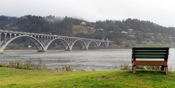
Road Curving Around Dexter Reservoir With Lowell Covered Bridge In Oregon. Dexter Reservoir, Also Known As Dexter Lake, Is A Reservoir In Lane County Formed On The Middle Fork Willamette River.

Image, 17.95MB, 6048 × 4024 jpg
stock image U.S. Highway 51 from the Wisconsin River in Tomahawk, Wisconsin, horizontal

U.S. Highway 51 From The Wisconsin River In Tomahawk, Wisconsin, Horizontal

Image, 7.27MB, 5760 × 3840 jpg
stock image U.S. Highway 51 from the Wisconsin River in Tomahawk, Wisconsin, horizontal

U.S. Highway 51 From The Wisconsin River In Tomahawk, Wisconsin, Horizontal

Image, 3.67MB, 5699 × 3799 jpg
Page 1 >> Next