
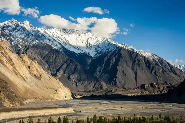
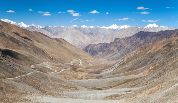
Stock image Karakoram Range page 4


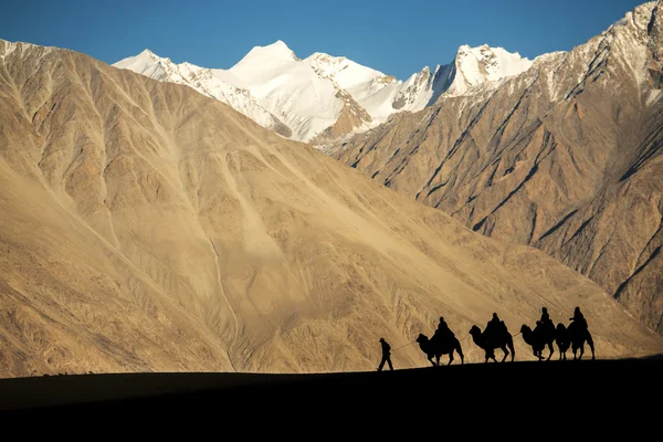
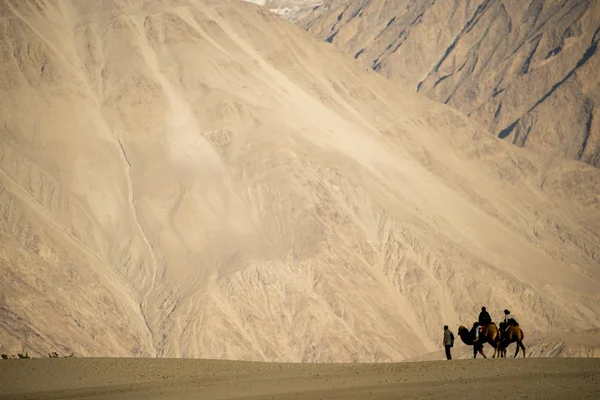
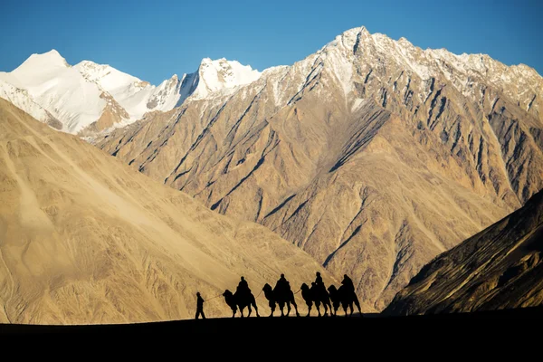
Silhouette Of Caravan Travellers Riding Camels Nubra Valley Ladakh ,India
Image, 12.44MB, 7360 × 4912 jpg


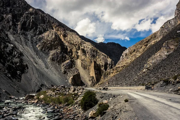
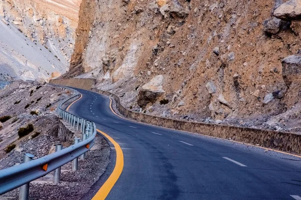
The Karakoram Highway Is A Popular Tourist Attraction, And Is One Of The Highest Paved Roads In The World, Passing Through The Karakoram Mountain Range, At An Elevation Of 4,714 Metres Or 15,466 Ft . Due To Its High Elevation And The Difficult Condit
Image, 3.47MB, 4000 × 2248 jpg

The Karakoram Highway Is A Popular Tourist Attraction, And Is One Of The Highest Paved Roads In The World, Passing Through The Karakoram Mountain Range, At An Elevation Of 4,714 Metres Or 15,466 Ft . Due To Its High Elevation And The Difficult Condit
Image, 3.47MB, 4000 × 3000 jpg
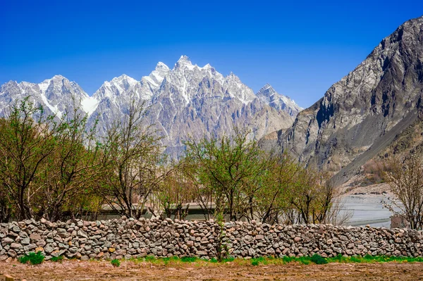
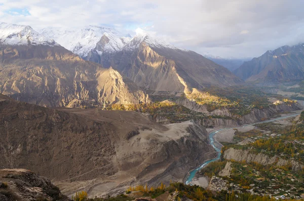
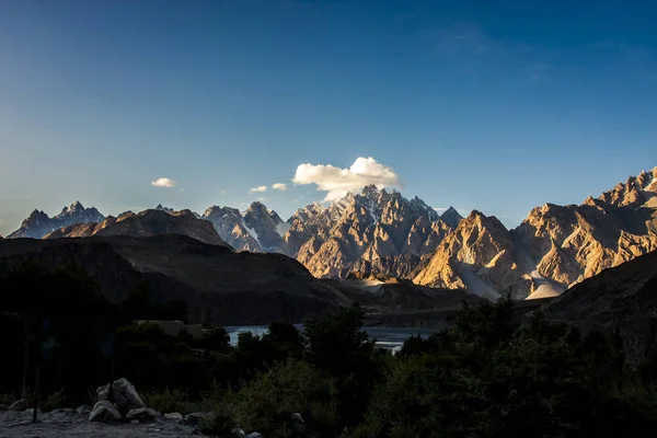
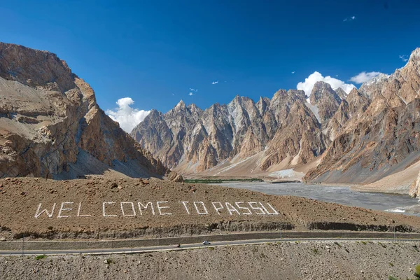
Beuatiful Landscape Of Northern Pakistan. Passu Region. Karakorum Mountains In Pakistan
Image, 13.25MB, 4256 × 2832 jpg
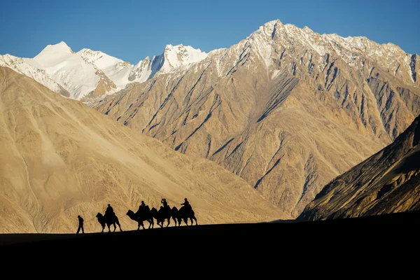
Silhouette Of Caravan Travellers Riding Camels Nubra Valley Ladakh ,India
Image, 11.7MB, 7360 × 4912 jpg


Road To Askole Village In Summer Season. Starting Village In K2 Mountain Base Camp Trekking Route In Karakoram Mountains Range, Pakistan, Asia
Image, 15.79MB, 6000 × 4000 jpg

Young Asian Man Trekker With Backpack Walking On Passu Glacier In Patundas Trekking Route In Karakoram Mountains Range, Hunza Valley, North Pakistan, Asia
Image, 13.89MB, 6000 × 4000 jpg
Silhouette Of Caravan Travellers Riding Camels Nubra Valley Ladakh ,India
Image, 11.93MB, 7360 × 4912 jpg


Beuatiful Landscape Of Northern Pakistan. Passu Region. Karakorum Mountains In Pakistan
Image, 13.82MB, 4256 × 2832 jpg
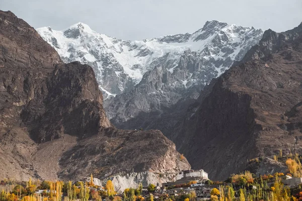

View Of Golden Peak Mountain On Sunset Background, Gilgit Baltistan, Pakistan
Image, 4.86MB, 4288 × 2848 jpg


Hussaini Suspension Bridge Passu Cones Mountain Range Rocky Scenery Huzza River Gilt Baltistan Northern Areas Pakistan
Image, 18.17MB, 6379 × 4253 jpg
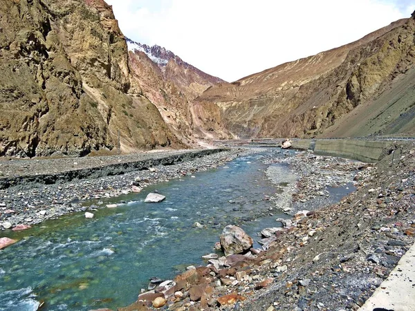
The Indus River Is One Of The Longest Rivers In Asia. It Flows In A Southerly Direction Along The Entire Length Of Pakistan To Merge Into The Arabian Sea Near The Port City Of Karachi In Sindh. It Is The Longest River And National River Of Pakistan.
Image, 5.81MB, 4000 × 3000 jpg


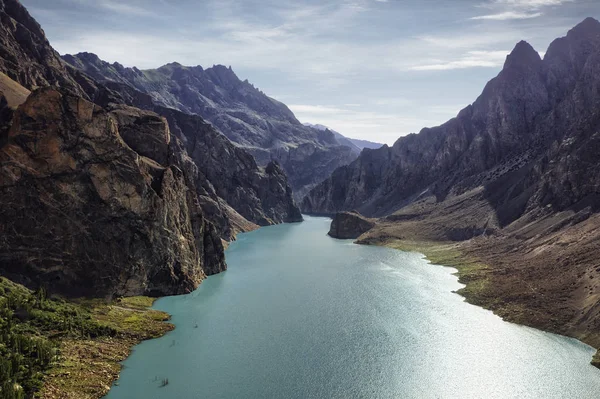


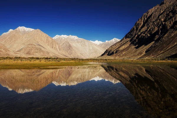
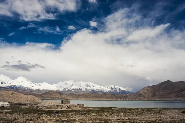
Snow Mountain Range And Reflection Leh Ldakh ,India - September 2014
Image, 16.39MB, 7360 × 4912 jpg
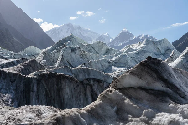
Passu Glacier Surrounded By Karakoram Mountains Range, Gilgit Baltistan, Pakistan, Asia
Image, 11.04MB, 6000 × 4000 jpg

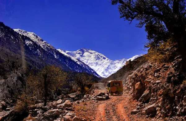
The Khunjerab Pass, With An Elevation Of 5,000 Metres Or 16,000 Feet, Is A High Mountain Pass In The Karakoram Mountains. It Is Also The Highest Paved International Border Crossing In The World And The Highest Point On The Karakoram Highway. The Road
Image, 3.76MB, 4000 × 3000 jpg


Trekking Trail In Patundas Trekking Route With Passu Glacier In Background, Karakoram Mountains Range In Pakistan, Asia
Image, 20.05MB, 6000 × 4000 jpg
Previous << Page 4 >> Next