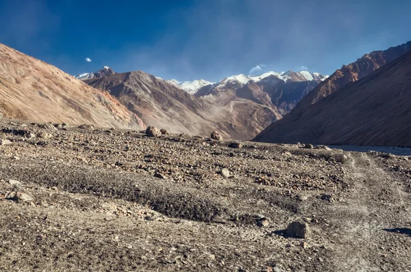
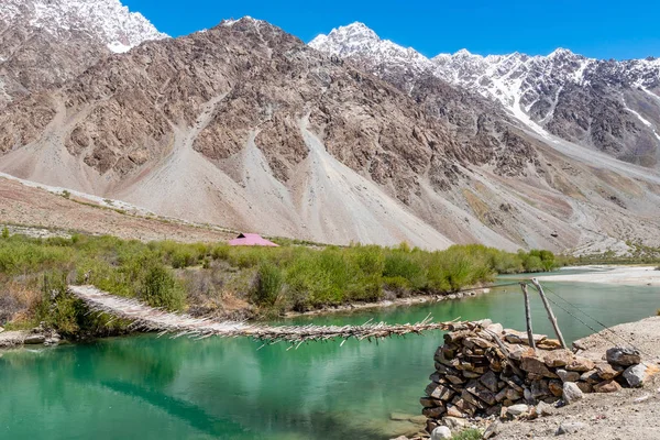
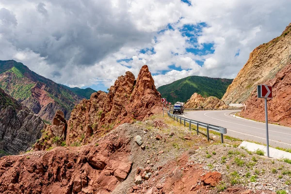
photo free
Home Images Vectors Videos

Stock image Khorugh

stock image Qalai Khumb to Khorugh Pamir Highway 51

Qalai Khumb To Khorugh Pamir Highway 51

Image, 4.18MB, 3000 × 2000 jpg
stock image Pamir Highway M41 21

Pamir Highway M41 21

Image, 3.54MB, 3000 × 2000 jpg
stock image Gorno-Badakhshan - region of Tajikistan zoomed and highlighted. Colored and bumped map of the administrative division. 3D rendering

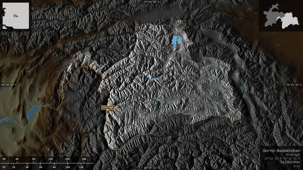
Gorno-Badakhshan - Region Of Tajikistan Zoomed And Highlighted. Colored And Bumped Map Of The Administrative Division. 3D Rendering

Image, 5.68MB, 2880 × 1620 jpg
stock image From Karakul to Khorog

From Karakul To Khorog

Image, 6.53MB, 3012 × 2001 jpg
stock vector Tajikistan

Tajikistan

Vector, 1.26MB, 6779 × 6734 eps
stock image Pamir Highway M41 12

Pamir Highway M41 12

Image, 5.66MB, 3000 × 2000 jpg
stock vector Tajikistan physical map ,in vector format,with all the relief forms,regions and big cities..

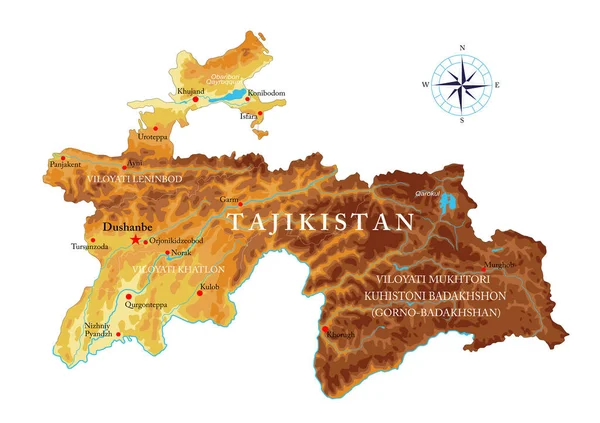
Tajikistan Physical Map ,in Vector Format,with All The Relief Forms,regions And Big Cities..

Vector, 6.78MB, 5000 × 3525 eps
stock image Gorno-Badakhshan, region of Tajikistan. Colored relief with lakes and rivers. Shape presented against its country area with informative overlays. 3D rendering

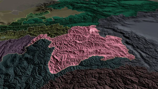
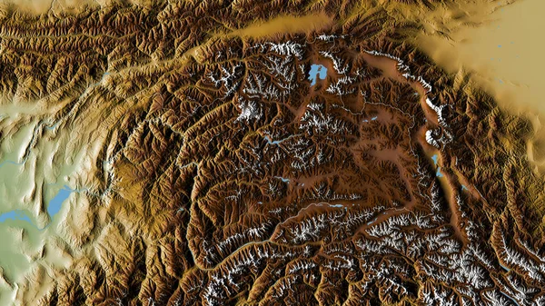
Gorno-Badakhshan, Region Of Tajikistan. Colored Relief With Lakes And Rivers. Shape Presented Against Its Country Area With Informative Overlays. 3D Rendering

Image, 5.27MB, 2880 × 1620 jpg
stock image Kulob to Qalai Khumb Pamir Highway 10

Kulob To Qalai Khumb Pamir Highway 10

Image, 5.96MB, 3000 × 2000 jpg
stock image Gorno-Badakhshan, region of Tajikistan. Colored shader data with lakes and rivers. Shape outlined against its country area. 3D rendering

Gorno-Badakhshan, Region Of Tajikistan. Colored Shader Data With Lakes And Rivers. Shape Outlined Against Its Country Area. 3D Rendering

Image, 7.73MB, 2880 × 1620 jpg
stock image Khorugh Mountain Cityscape 22

Khorugh Mountain Cityscape 22

Image, 5.61MB, 3000 × 2000 jpg
Page 1 >> Next