
Stock image Khyber Pakhtunkhwa
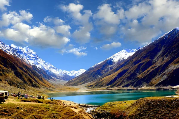
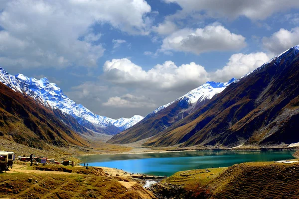
Beautiful View Of Mountainous Lake Saiful Muluk In Naran Valley, Mansehra District, Khyber-Pakhtunkhwa, Northern Areas Of Pakistan
Image, 2.26MB, 5472 × 3648 jpg

Coat Of Arms Of Khyber Pakhtunkhwa Is A Pakistan Region. Vector Heraldic Emblem
Vector, 0.94MB, 4000 × 4000 eps
Geological Structure Of Snow Mountainous In Naran Valley, Mansehra District, Khyber-Pakhtunkhwa, Northern Areas Of Pakistan
Image, 4.96MB, 5472 × 3648 jpg

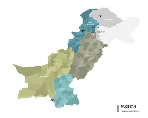
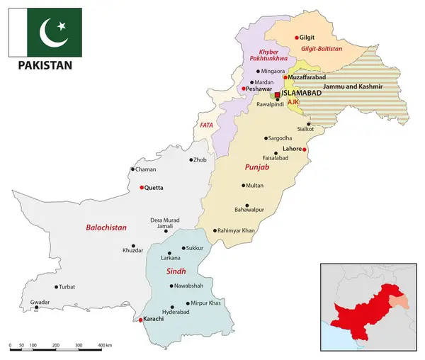
Pakistan Higt Detailed Map With Subdivisions. Administrative Map Of Pakistan With Districts And Cities Name, Colored By States And Administrative Districts. Vector Illustration.
Vector, 1.86MB, 5000 × 4000 eps

Geological Structure Of Snow Mountainous In Naran Valley, Mansehra District, Khyber-Pakhtunkhwa, Northern Areas Of Pakistan
Image, 5.8MB, 5472 × 3648 jpg
Beautiful View Of Mountainous Lake Saiful Muluk In Naran Valley, Mansehra District, Khyber-Pakhtunkhwa, Northern Areas Of Pakistan
Image, 15.96MB, 5472 × 3648 jpg

Geological Structure Of Snow Mountainous In Naran Valley, Mansehra District, Khyber-Pakhtunkhwa, Northern Areas Of Pakistan
Image, 6.96MB, 5472 × 3648 jpg
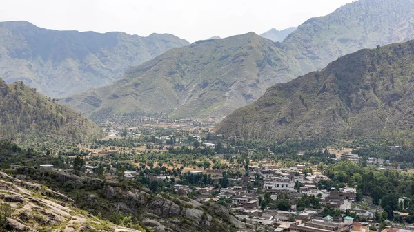
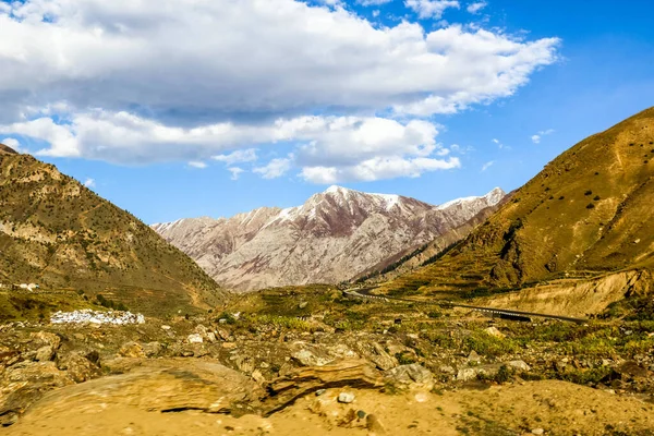
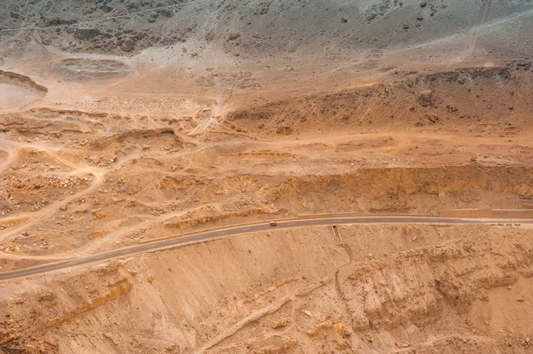
District Bunner Residential Area Wide Angle View From The Mountain Top.
Image, 12.8MB, 6054 × 3405 jpg
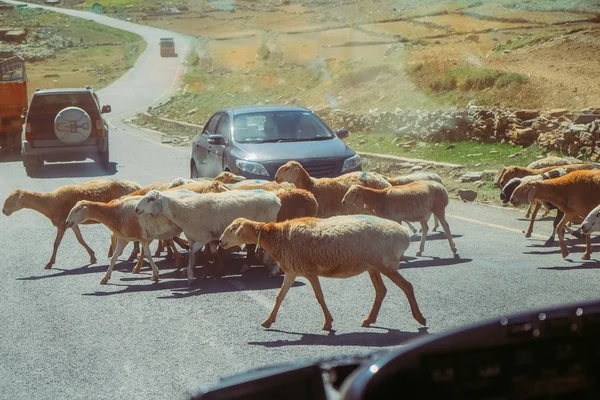
Cars Stop And Waiting For A Herd Of Local Sheep Crossing Road. Traffic In Naran, Khyber Pakhtunkhwa, Pakistan. View From The Windshield.
Image, 9.17MB, 4896 × 3264 jpg

Beautiful View Of Mountainous Lake Saiful Muluk In Naran Valley, Mansehra District, Khyber-Pakhtunkhwa, Northern Areas Of Pakistan
Image, 2.37MB, 3456 × 2304 jpg


A Winter Landscapes Of Swat Valley With Snowy Mountains In Khyber Pakhtunkhwa Pakistan
Image, 18.12MB, 5293 × 3216 jpg


Geological Landscape Of Shogran Mountains In Kaghan Valley, Mansehra District, Khyber-Pakhtunkhwa, Northern Areas Of Pakistan
Image, 5.39MB, 5472 × 3648 jpg


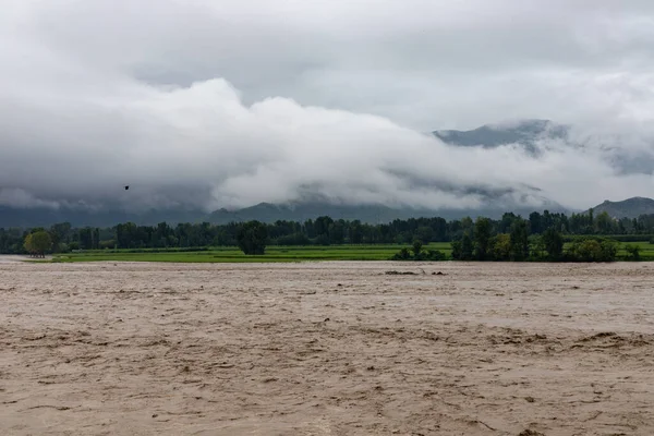
The Heavy Water Current Washed Away A Huge Portion Of Agriculture Fields And Infrastructure In The Valley
Image, 13.18MB, 6221 × 4147 jpg

Heavy Flood Due To Monsoon Rainfall At The Swat Valley In The River Swat In Khyber Pakhtunkhwa, Pakistan
Image, 12.86MB, 6162 × 4108 jpg


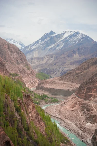
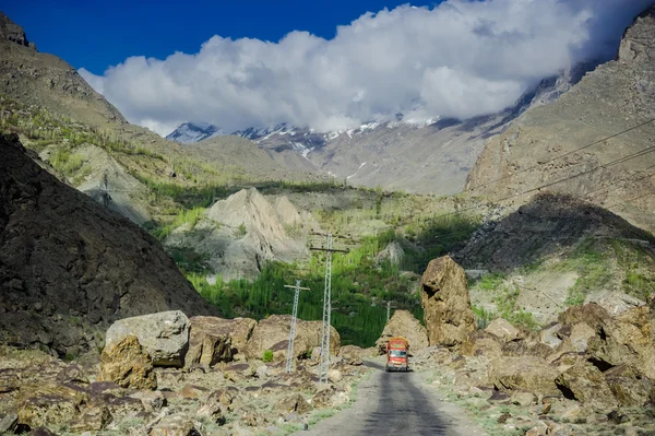
Ashret Gol River And Lowari Pass, Khyber Pakhtunkhwa Province Pakistan
Image, 9.53MB, 4618 × 3075 jpg


Khyber Pakhtunkhwa Province Map, Province Of Pakistan. Vector Illustration.
Vector, 6.1MB, 8334 × 8334 eps

Khyber Pakhtunkhwa Province Map, Province Of Pakistan. Vector Illustration.
Vector, 6.38MB, 8334 × 8334 eps


Beautiful View Of Mountainous Lake Saiful Muluk In Naran Valley, Mansehra District, Khyber-Pakhtunkhwa, Northern Areas Of Pakistan
Image, 2.3MB, 5472 × 3648 jpg
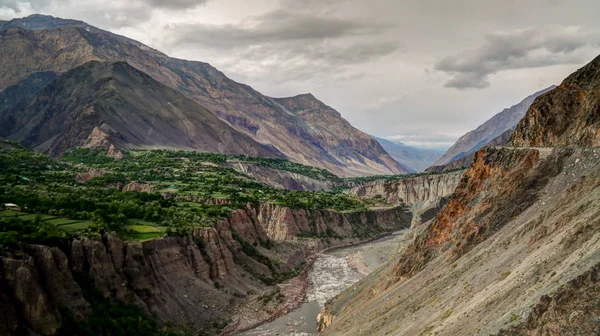
Kunar Aka Chitral Or Kama River, Khyber Pakhtunkhwa Province Pakistan
Image, 10.77MB, 5432 × 3042 jpg
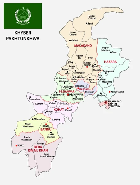
Administrative Vector Map Of Pakistani Province Of Khyber Pakhtunkhwa With Flag, Pakistan
Vector, 0MB, 3781 × 4000 zip

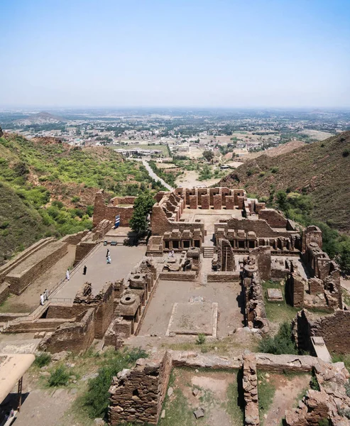
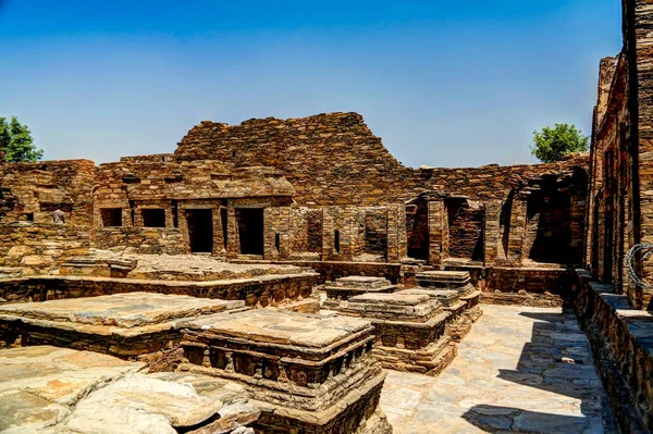
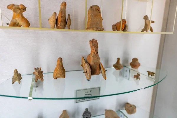
Takht-i-Bhai Parthian Archaeological Site And Buddhist Monastery Pakistan
Image, 7.93MB, 2908 × 3532 jpg
Takht-i-Bhai Parthian Archaeological Site And Buddhist Monastery Pakistan
Image, 9.43MB, 3877 × 2583 jpg

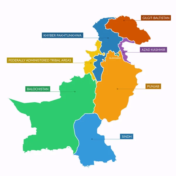
Vector Regional Blank Map Of Pakistan With Provinces And Territories And Administrative Divisions. Editable And Clearly Labeled Layers.
Vector, 1.45MB, 5000 × 4600 eps


Vector Illustrated Regional Map Of Pakistan With Provinces And Territories And Administrative Divisions, And Neighbouring Countries And Territories. Editable And Clearly Labeled Layers.
Vector, 3.09MB, 5000 × 4600 eps
Page 1 >> Next