
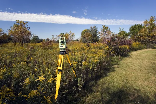
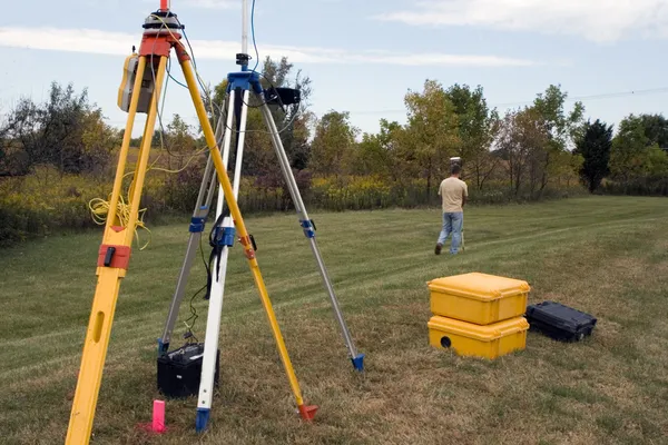
Stock image Land Survey System
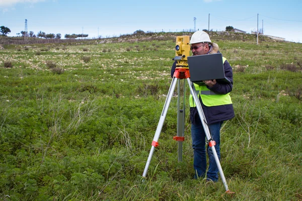

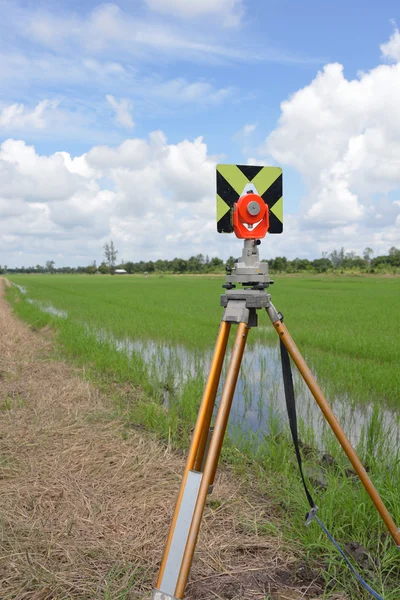
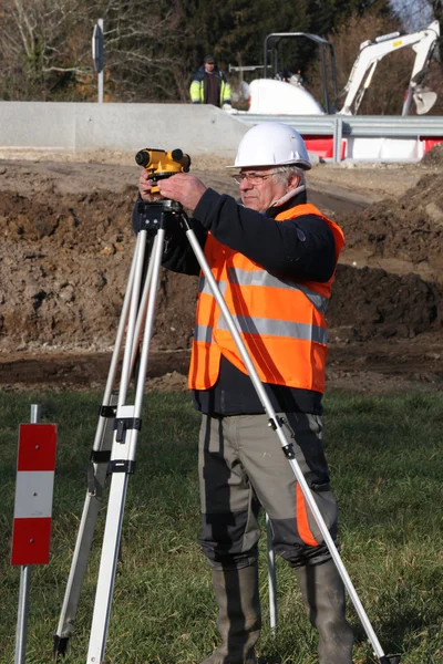
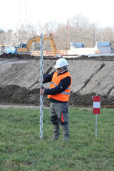
A Device For Geodesic Surveying For Cadastral Work At A Construction Site
Image, 5.98MB, 5184 × 3456 jpg

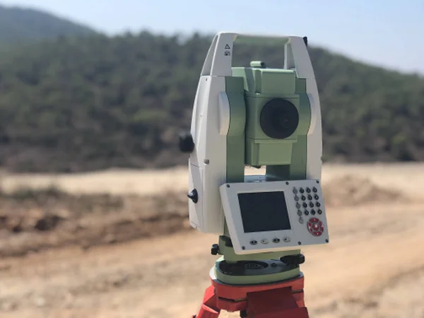
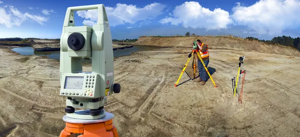
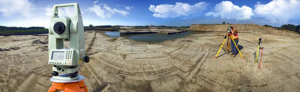
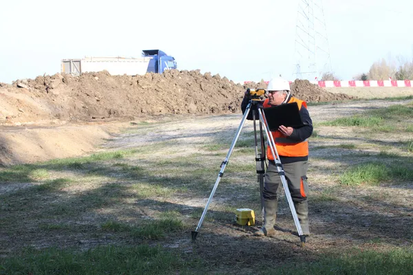
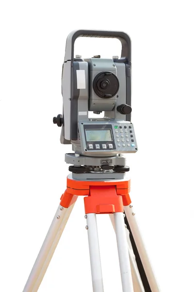
Geodetic Total Station On The Construction Site Against Blurred Background
Image, 0.36MB, 4032 × 3024 jpg
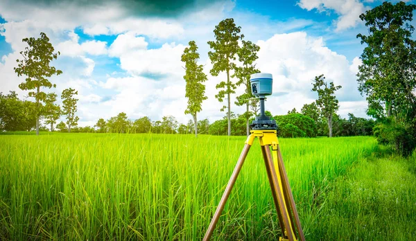
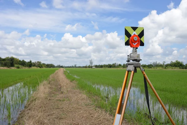
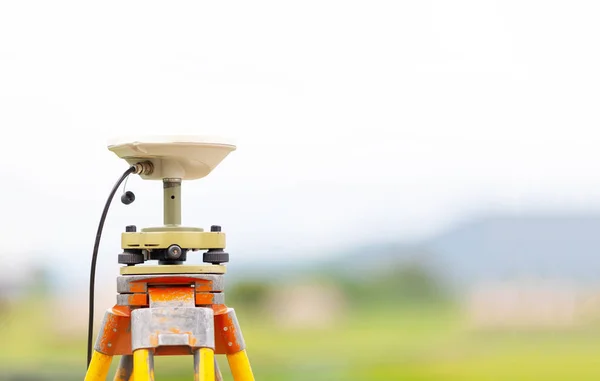
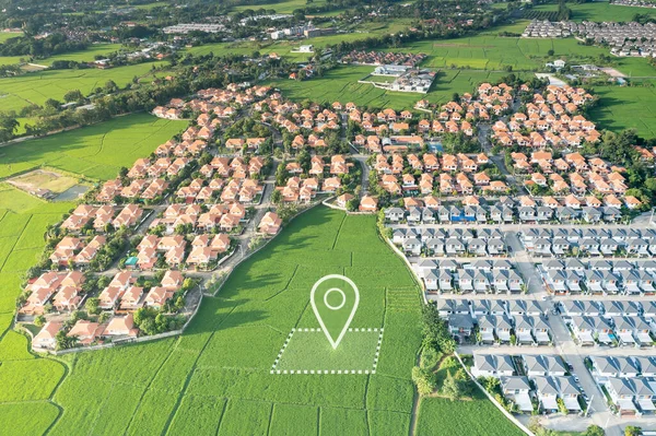
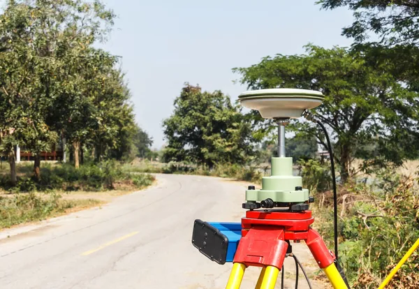
GPS Surveying Instrument Install On Tripod In Green Rice Field, Thailand
Image, 15.52MB, 6000 × 3490 jpg

A Device For Geodesic Surveying For Cadastral Work At A Construction Site
Image, 11.06MB, 5184 × 3456 jpg

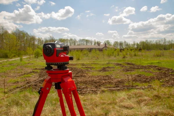
A Device For Geodesic Surveying For Cadastral Work At A Construction Site
Image, 7.11MB, 4791 × 3194 jpg

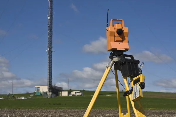
Geodetic Total Station On The Construction Site Against Blurred Machinery At The Background
Image, 1.64MB, 4032 × 3024 jpg


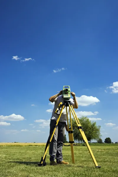
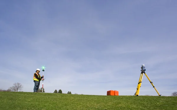
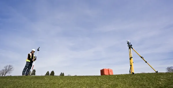
UBONRATCHATHANI, THAILAND-SEPTEMBER 26, 2017 : Asian Smart Engineer Or Surveyor Is Working On Controller Screen For Surveying Land In Rice Field. GPS Surveying Instrument.
Image, 14.61MB, 6000 × 4000 jpg
Power Plant, Gas Fired Power Station. Include Decreasing Chart, Graph. Industrial Factory May Called Combined Cycle Gas Turbine Plant. Concept For Low, Loss, Drop In Electricity Energy Generation.
Image, 16.36MB, 5464 × 3640 jpg

Unmanned Aircraft System (UAV) Quadcopter Drone In The Air Over Grape Vineyard Farm.
Image, 7.93MB, 7438 × 4961 jpg

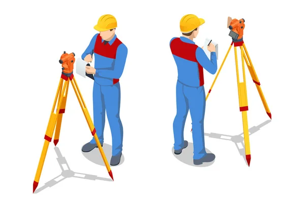
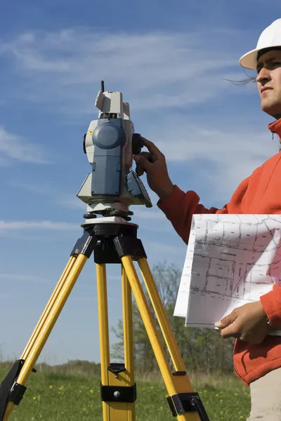
Isometric Surveying Measuring Equipment Level Theodolite On Tripod Isolated On White Background. Professional Engineer Surveyor Takes Measures With Theodolite. Construction Measuring Tool
Vector, 0.42MB, 6000 × 4000 eps

Conceptual Hand Writing Showing Home Inspection. Business Photo Showcasing Examination Of The Condition Of A Home Related Property.
Image, 5.94MB, 6000 × 4005 jpg
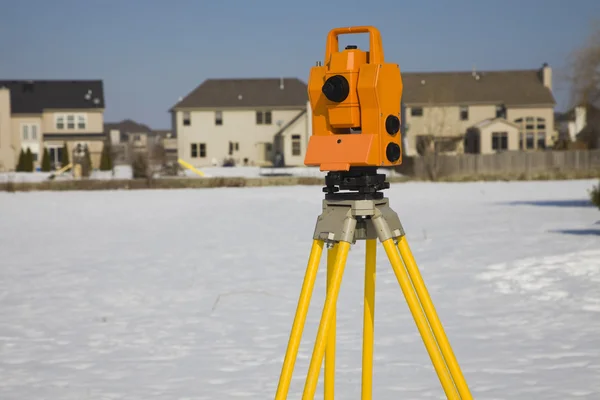

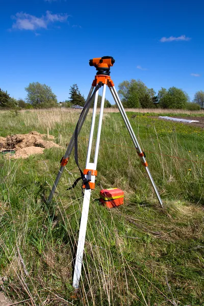
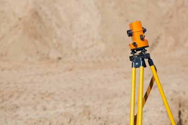
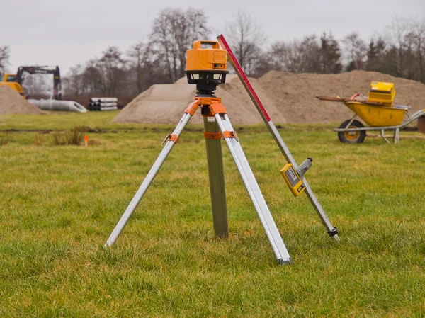
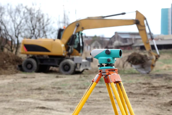
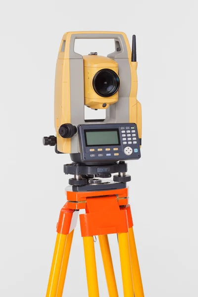
Level Or Total Station At A Construction Site. Geodetic Construction Equipment During Earthworks
Image, 6.09MB, 6000 × 4000 jpg

Text Sign Showing Home Inspection. Conceptual Photo Examination Of The Condition Of A Home Related Property
Image, 4.88MB, 7000 × 7000 jpg


Asian Smart Engineer Or Surveyor In Black Jeans And Long Sleeve Shirt And Woven Bamboo Hat. He Is Working On Controller Screen For Surveying Land In Rice Field, Thailand. GPS Surveying Instrument.
Image, 16.98MB, 5805 × 4000 jpg
Page 1 >> Next