
Stock image Largest Cities
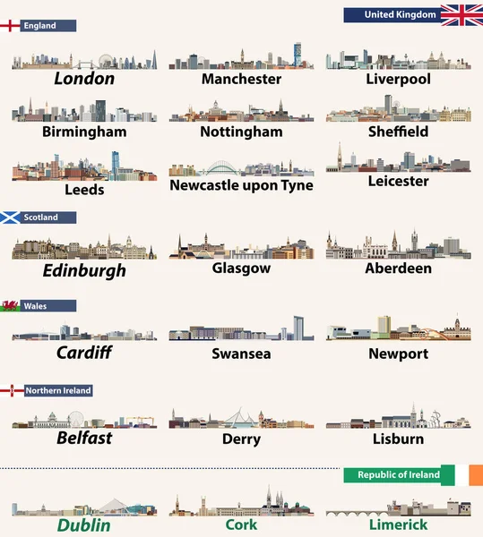
Largest Cities Skylines Of British Isles Countries: United Kingdom (England, Wales, Scotland, Northern Ireland) And Republic Of Ireland. Vector Illustration
Vector, 13.44MB, 8333 × 9272 eps


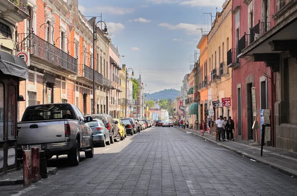
Genoa, Italy - October 30, 2016: View Of A Narrow Street Of Genoa, One Of Europe's Largest Cities On The Mediterranean Sea And The Largest Seaport In Italy.
Image, 11.41MB, 3643 × 5465 jpg


Largest Cities In The World. City Of Sao Paulo, Brazil South America.
Image, 12.91MB, 6240 × 4160 jpg

The Rhine-Ruhr Metropolitan Region Vector Map With Largest Cities Skylines Silhouettes
Vector, 14.11MB, 8334 × 8334 eps


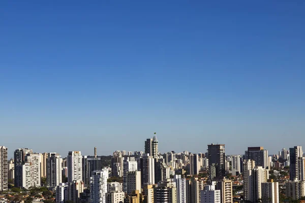
Largest Cities In The World. City Of Sao Paulo, Brazil South America.
Image, 9.17MB, 6240 × 4160 jpg

Republic Of Estonia Isolated Maps And Official Flag Icon. Vector Estonian Political Map Icons And General Information. Northern Europe State Geographic Banner Design
Vector, 0.49MB, 4000 × 4000 eps

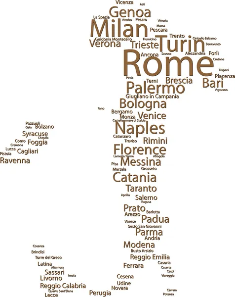
The Largest Cities In The World Word Cloud Collage, Travel Destinations Concept Background
Vector, 4.5MB, 5000 × 3750 eps


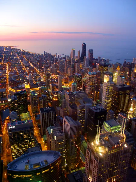
Chicago, On Lake Michigan In Illinois, Is Among The Largest Cities In The U.S.
Image, 0MB, 2592 × 3872 jpg
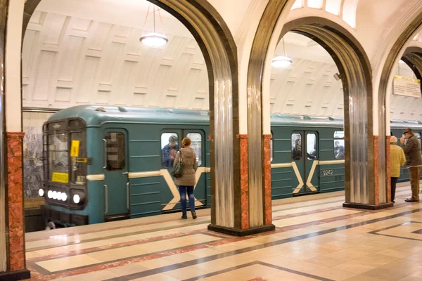
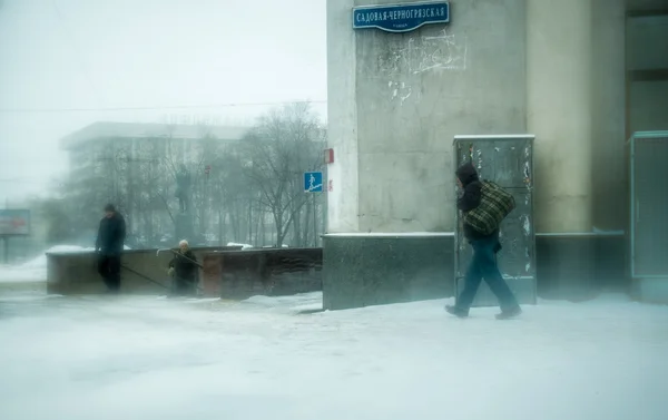
MOSCOW - 21 MARCH 2015: People In Mayakovskaya Metro Station In 21 March 2015. With A Population Of More Than 11 Million People Is One The Largest Cities In The World And A Popular Destination.
Image, 25.68MB, 7090 × 4732 jpg


The Bridge In The City Of The Most Polluted Towns In The North Of The State Of The Largest Cities
Image, 2.54MB, 1804 × 2525 jpg

Genoa, Italy - October 30, 2016: Panoramic View Of Port In Genoa, One Of Europe's Largest Cities On The Mediterranean Sea And The Largest Seaport In Italy.
Image, 22.01MB, 12713 × 3232 jpg

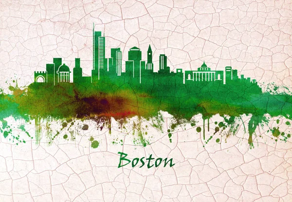
Skyline Of Boston Massachusetts Capital And Largest City. Founded In 1630, Its One Of The Oldest Cities In The U.S.
Image, 13.63MB, 7200 × 5000 jpg

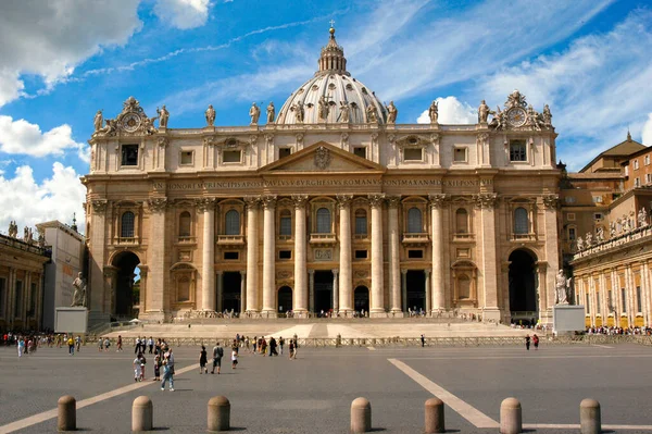
St. Peter's Square In Front Of St. Peter's Basilica In Vatican City, Rome
Image, 5.18MB, 3008 × 2000 jpg


Page 1 >> Next