
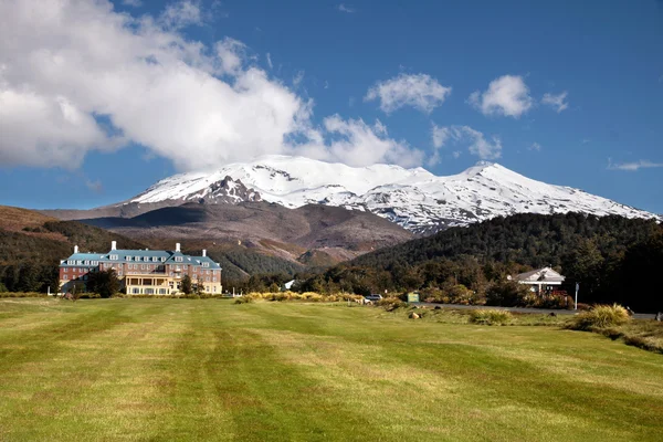
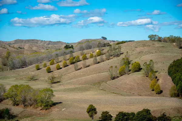
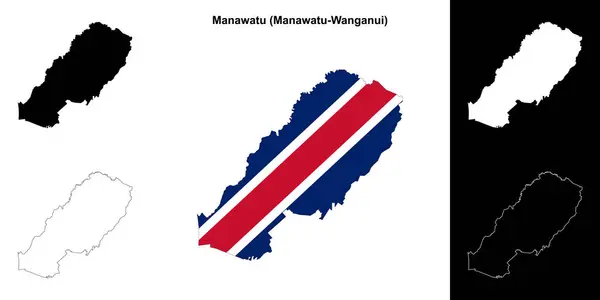
Stock image Manawatu
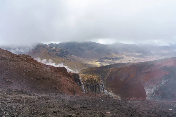
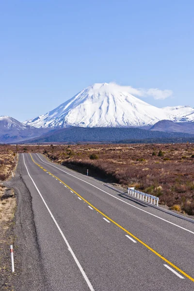
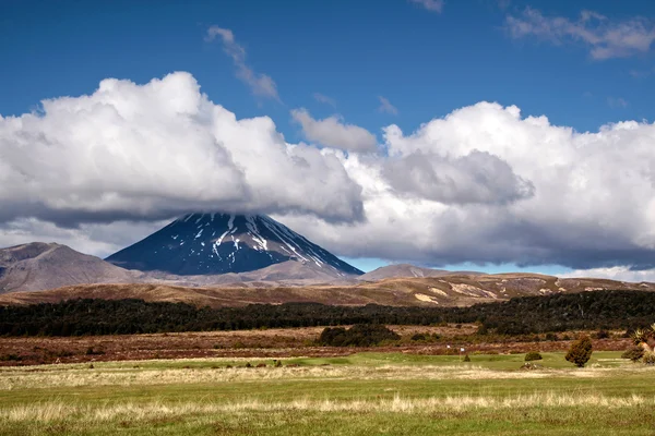
Hiking The Tongariro Alpine Crossing On Cone Volcano Mount Ngauruhoe In New Zealand
Image, 23.61MB, 7952 × 5304 jpg


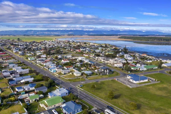
An Aerial Shot Of The Foxton Beach Village In Manawatu-Wanganui, New Zealand
Image, 12.09MB, 5464 × 3640 jpg


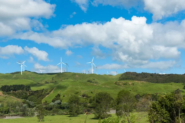
Blurred Blades Or Wind Turbine Slowly Rotating Backlit By Setting Sun And Cloudy Sky From Roadside With Light Trails Of Passing Petrol Engined Vehicles
Image, 7.36MB, 5661 × 3603 jpg


Corrugated Shearing Shed And Yards In Typical New Zealand Rural Area Of Wairarapa.
Image, 10.35MB, 5000 × 3359 jpg


Symbol Map Of The Regional Council Manawatu-Wanganui (New Zealand). Abstract Map Showing The State/province With A Pattern Of Overlapping Colorful Squares Like Candies
Vector, 0.66MB, 4010 × 6000 eps


Symbol Map Of The Regional Council Manawatu-Wanganui (New Zealand) Showing The Territory With Concentric Circles In Rainbow Colors Like A Shooting Target
Vector, 0.64MB, 4010 × 6000 eps

An Aerial Shot Of The Foxton Beach Village In Manawatu-Wanganui, New Zealand
Image, 8.2MB, 5464 × 2782 jpg


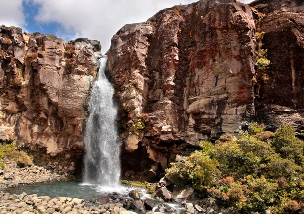
Winter Tree On The Manawatu River Bank Early Morning Mist In The Background.
Image, 12.95MB, 6586 × 4343 jpg


A Grassy Field With Cows Walking Around With The Tararua Ranges In The Background
Image, 9.27MB, 4288 × 2848 jpg

Winter Tree On The Manawatu River Bank Early Morning Mist In The Background.
Image, 9.99MB, 6787 × 4525 jpg

Corrugated Shearing Shed And Yards In Typical New Zealand Rural Area Of Wairarapa.
Image, 11.37MB, 5000 × 3333 jpg

Zoom In On Manawatu-Wanganui (regional Council Of New Zealand) Outlined. Oblique Perspective. Topographic Relief Map With Surface Waters. 3D Rendering
Image, 2.27MB, 3840 × 2160 jpg
Page 1 >> Next