
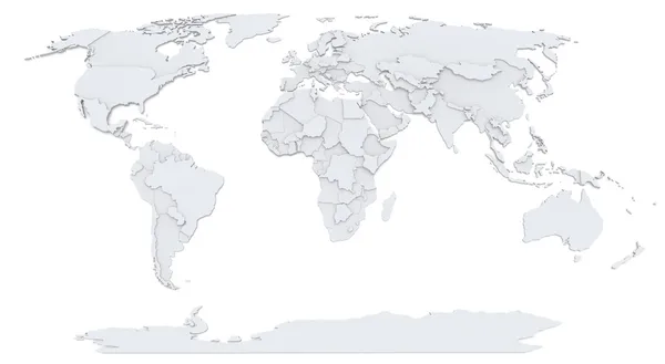
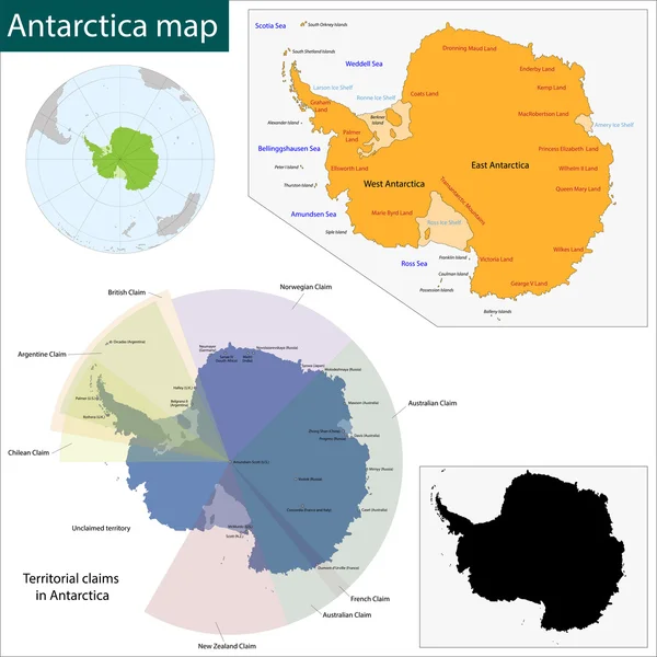
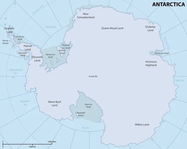
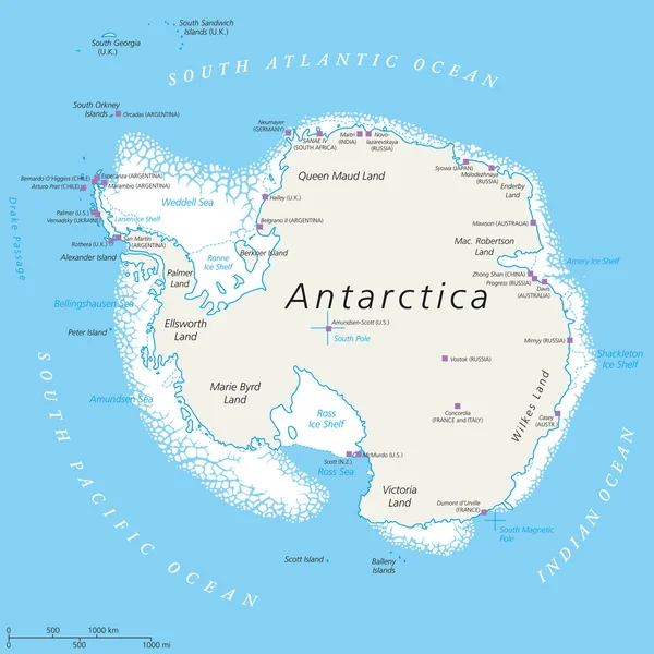
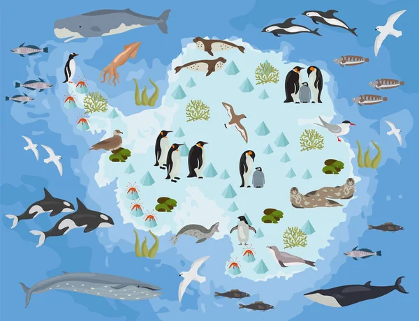
Stock image Map Antarctica

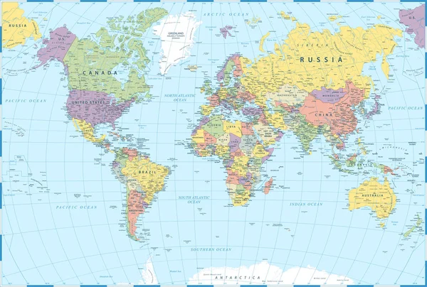
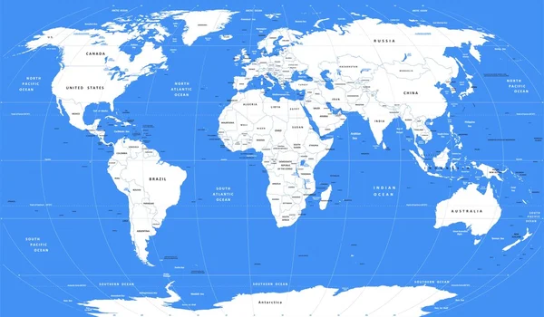
Political Map Of World With Antarctica. Continents In Different Colors On Blue Background. White Labels With States And Significant Dependent Territories Names. High Detail Vector Illustration
Vector, 7.64MB, 6000 × 4500 eps

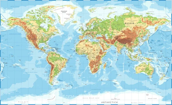
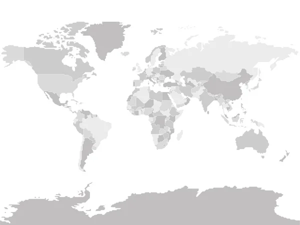
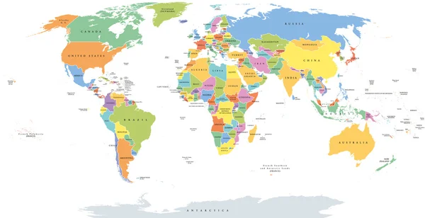
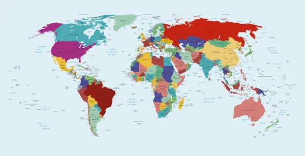
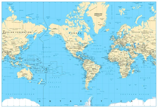
World Map Atlas. Colored Political Map With Blue Seas And Oceans. Vector Illustration
Vector, 6.38MB, 6000 × 4499 eps

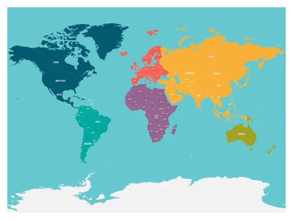
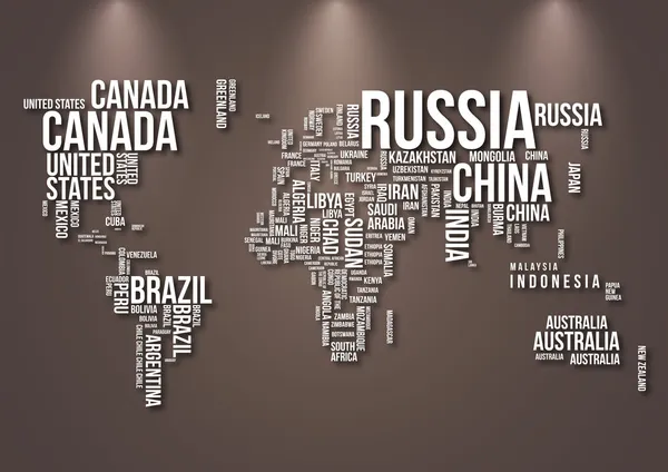
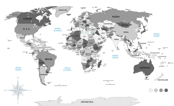
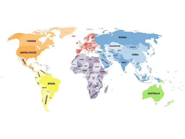
Political Map Of World With Antarctica. Countries In Four Different Colors Without Borders On Dark Grey Background. White Labels With States And Significant Dependent Territories Names. High Detail
Vector, 4.49MB, 6000 × 4500 eps
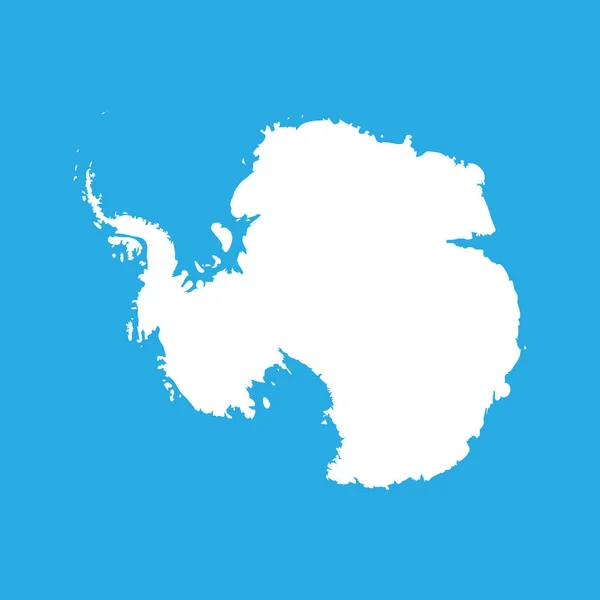
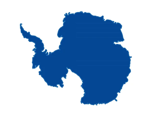
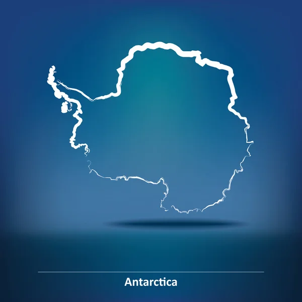
Silhouette Map Af Antarctica. High Detailed White Vector Illustration Isolated On Blue Background
Vector, 0.62MB, 6000 × 6000 eps
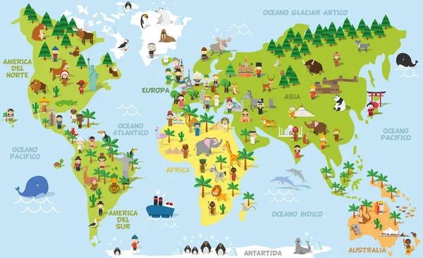
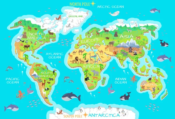
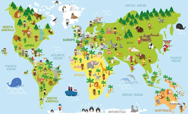
Funny Cartoon World Map With Childrens Of Different Nationalities, Animals And Monuments Of All The Continents And Oceans. Names In Spanish.
Vector, 13.76MB, 9000 × 5500 eps
Simplified Blank Schematic Map Of World. Political Map Of Countries With Generalized Borders. Simple Flat Vector Illustration
Vector, 1.18MB, 8000 × 6000 eps

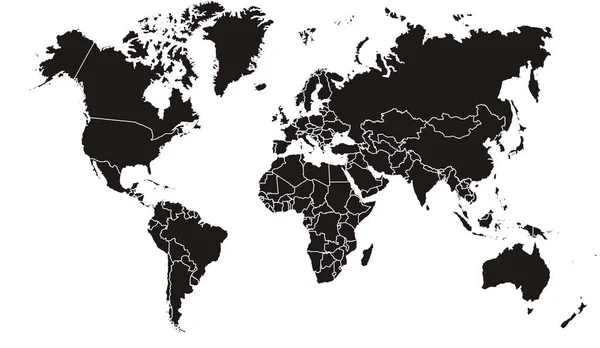
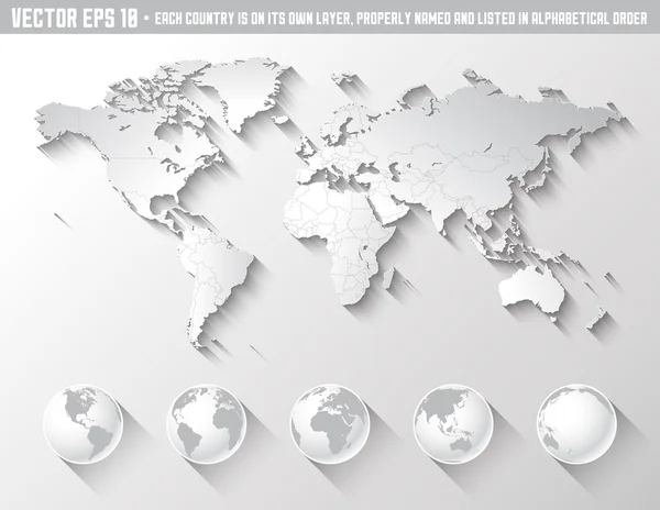
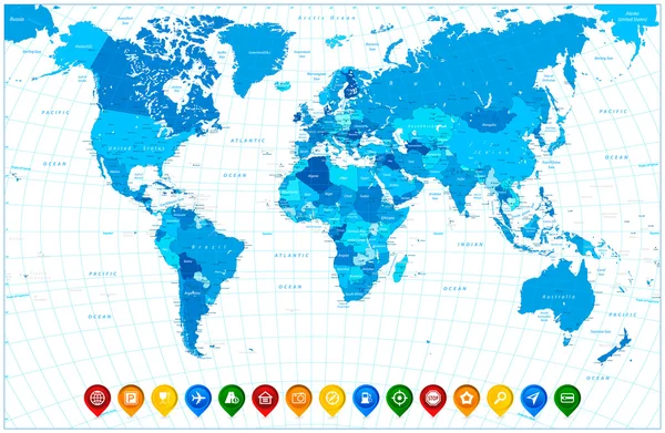
Political World Map On White Background, With Every State Labeled And Selectable (labeled In Layers Panel Also). Versatile File, Turn On An Off Visibility And Color Of Each Country In One Click.
Vector, 9MB, 6349 × 3869 eps
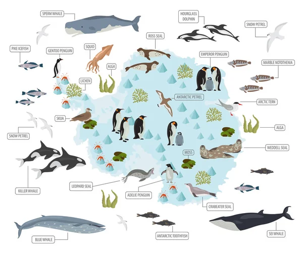
Antarctica Map Icon Isolated On White Background. Travel Worldwide Concept
Image, 1.08MB, 6000 × 6000 jpg

World Map Elements. Build Your Own Geography Info Graphic Collection. Vector Illustration
Vector, 1.02MB, 5407 × 4500 eps

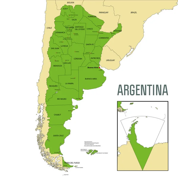
Political Vector Map Of Argentina With All Regions And Their Capitals
Vector, 9.28MB, 7000 × 7000 eps
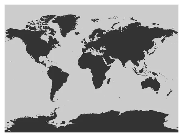
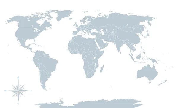
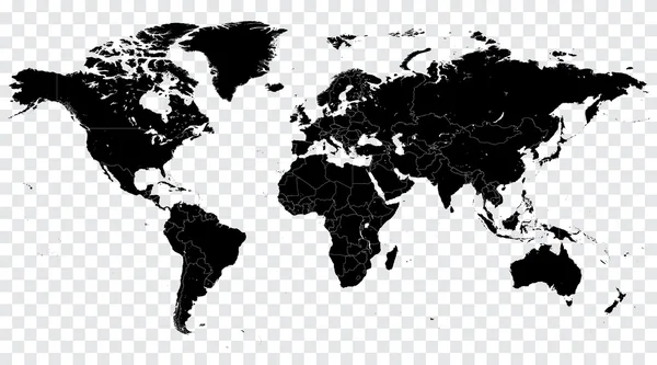
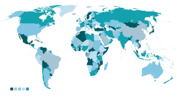
Map Of World Dark Grey Vector Silhouette. High Detailed Map On Light Background
Vector, 1.75MB, 8000 × 6000 eps

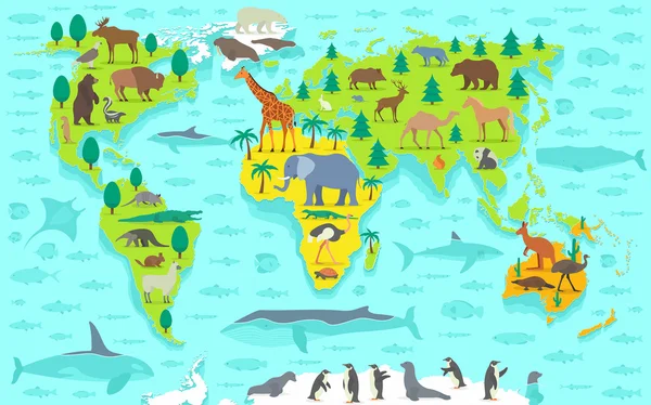
Funny Cartoon World Map With Traditional Animals Of All The Continents And Oceans. Vector Illustration.
Vector, 8.91MB, 9000 × 5500 eps


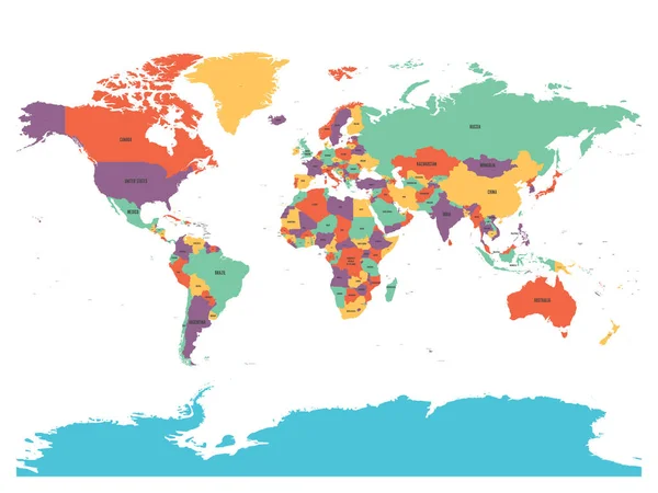
Political Map Of World With Antarctica. Countries In Four Different Colors Without Borders On White Background. Black Labels Of States And Significant Dependent Territories Names. High Detail Vector
Vector, 4.49MB, 6000 × 4500 eps

Funny Cartoon World Map With Childrens Of Different Nationalities, Animals And Monuments Of All The Continents And Oceans. Vector Illustration.
Vector, 13.69MB, 9000 × 5500 eps
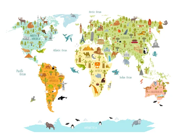
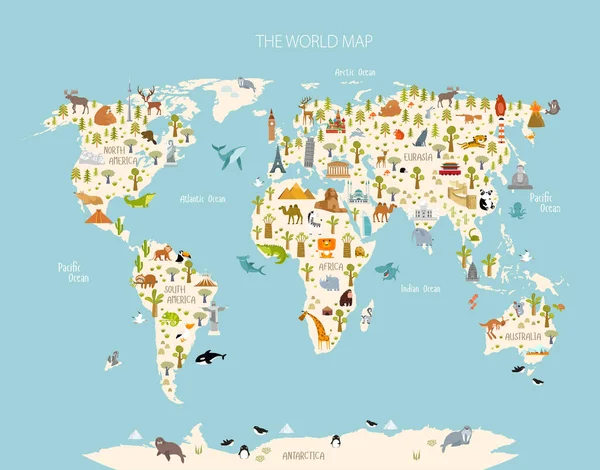
Print. World Map With Animals And Architectural Landmarks For Kids. Eurasia, Africa, South America, North America, Australia. Cartoon Animals.
Vector, 9.63MB, 7071 × 5596 eps
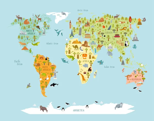
Print. World Map With Animals And Architectural Landmarks For Kids. Eurasia, Africa, South America, North America, Australia. Cartoon Animals.
Vector, 9.76MB, 6544 × 5133 eps
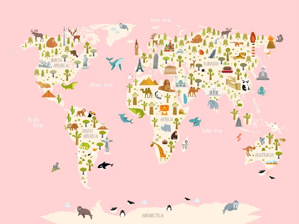
Print. World Map With Animals And Architectural Landmarks For Kids. Eurasia, Africa, South America, North America, Australia. Cartoon Animals.
Vector, 9.65MB, 6439 × 5096 eps
Print. World Map With Animals And Architectural Landmarks For Kids. Eurasia, Africa, South America, North America, Australia. Cartoon Animals.
Vector, 9.73MB, 7313 × 5488 eps
Page 1 >> Next