photo free
Home Images Vectors Videos

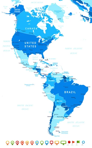
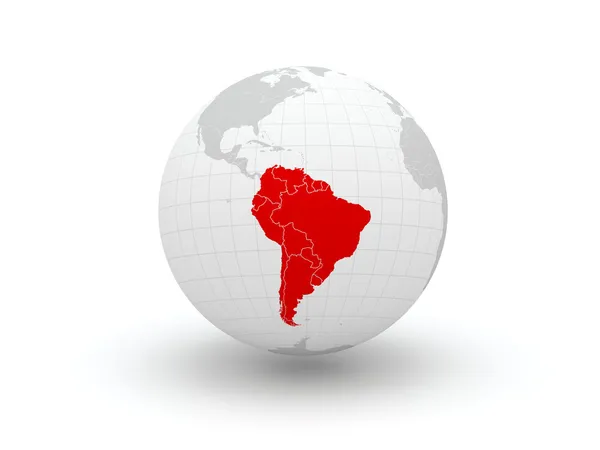
Stock image Map Of South America page 2

stock vector South America physical map with labeling.

South America Physical Map With Labeling.

Vector, 7.32MB, 3970 × 5671 eps
stock image South America

South America

Image, 5.17MB, 3500 × 3500 jpg
stock vector Map South America showing states in polygonal style. Vector.

Map South America Showing States In Polygonal Style. Vector.

Vector, 5.88MB, 5000 × 5000 eps
stock vector Ecuador country location within South America. 3d isometric map

Ecuador Country Location Within South America. 3d Isometric Map

Vector, 19.47MB, 4000 × 4000 eps
stock vector Blank political map of South America. 3D Earth globe with turquoise blue map. Vector illustration

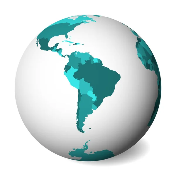
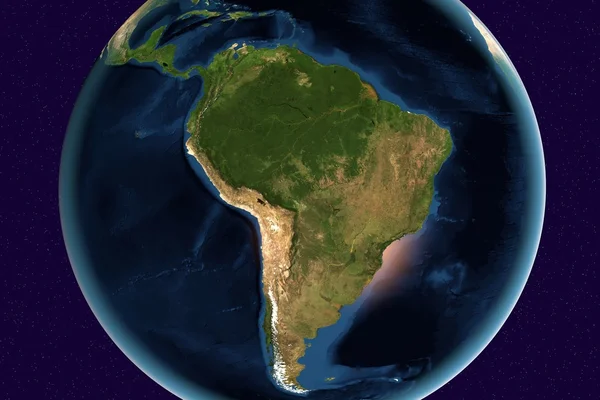
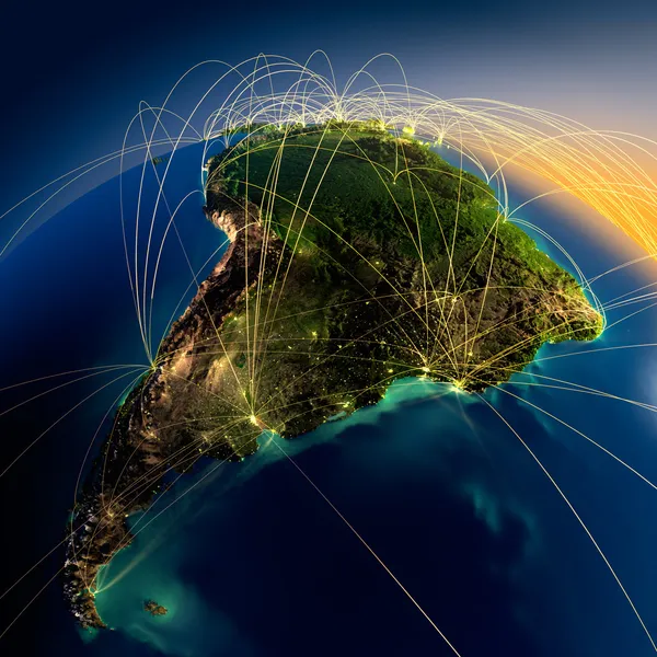
Blank Political Map Of South America. 3D Earth Globe With Turquoise Blue Map. Vector Illustration

Vector, 0.67MB, 5000 × 5000 eps
stock vector South America map

South America Map

Vector, 3.27MB, 5160 × 7061 eps
stock vector Animals world map, South America

Animals World Map, South America

Vector, 4.95MB, 6061 × 6061 eps
stock vector blue vector map of South America

Blue Vector Map Of South America

Vector, 1.96MB, 3600 × 4500 eps
stock vector Isometric political map of South America

Isometric Political Map Of South America

Vector, 1.09MB, 8000 × 6000 eps
stock image Brazil Country Nation Map

Brazil Country Nation Map

Image, 10.49MB, 5000 × 3000 jpg
stock vector Animals world map, South America

Animals World Map, South America

Vector, 5.56MB, 5303 × 6250 eps
stock vector Hi Detail Black Vector Political World Map illustration

Hi Detail Black Vector Political World Map Illustration

Vector, 10.4MB, 9000 × 5000 eps
stock vector World map background

World Map Background

Vector, 5.25MB, 5000 × 5000 eps
stock vector Colorful South America political map

Colorful South America Political Map

Vector, 6.75MB, 3970 × 5671 eps
stock vector World Map Physical Topographic - Vector Detailed Illustration

World Map Physical Topographic - Vector Detailed Illustration

Vector, 39.43MB, 6001 × 3669 eps
stock vector South and North American countries map

South And North American Countries Map

Vector, 0.26MB, 2800 × 3502 eps
stock image South America from space

South America From Space

Image, 1.18MB, 3000 × 2000 jpg
stock vector World map

World Map

Vector, 8.64MB, 10000 × 7065 ai
stock image South America

South America

Image, 9.93MB, 3500 × 3500 jpg
stock image World Map - South America

World Map - South America

Image, 7.16MB, 7000 × 5000 jpg
stock vector North and South America - map and navigation icons - illustration.

North And South America - Map And Navigation Icons - Illustration.

Vector, 2.48MB, 5400 × 8618 eps
stock vector Political World Map with flat icons and globes.Vintage colors

Political World Map With Flat Icons And Globes.Vintage Colors

Vector, 9.1MB, 5866 × 4197 eps
stock vector South America, gray political map with international borders and capitals. A continent, bordered by the Pacific and Atlantic Ocean, North America and the Caribbean Sea. Isolated illustration. Vector.

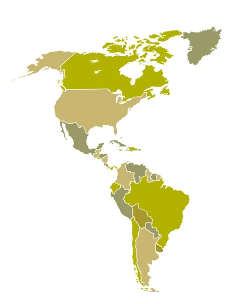
South America, Gray Political Map With International Borders And Capitals. A Continent, Bordered By The Pacific And Atlantic Ocean, North America And The Caribbean Sea. Isolated Illustration. Vector.

Vector, 3.89MB, 6000 × 7368 eps
stock vector South America, political map with borders, capitals and the largest rivers. A continent, bordered by the Pacific and the Atlantic Ocean, by North America and the Caribbean Sea. Illustration. Vector.

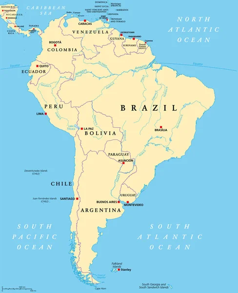
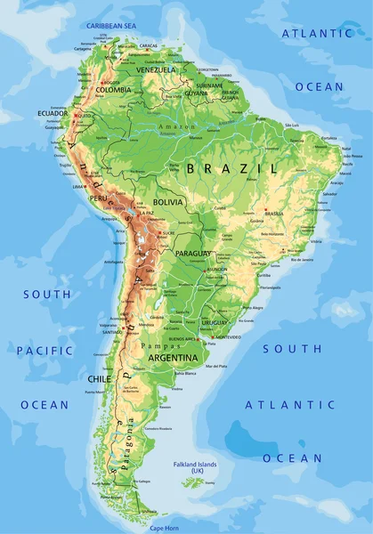
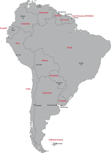
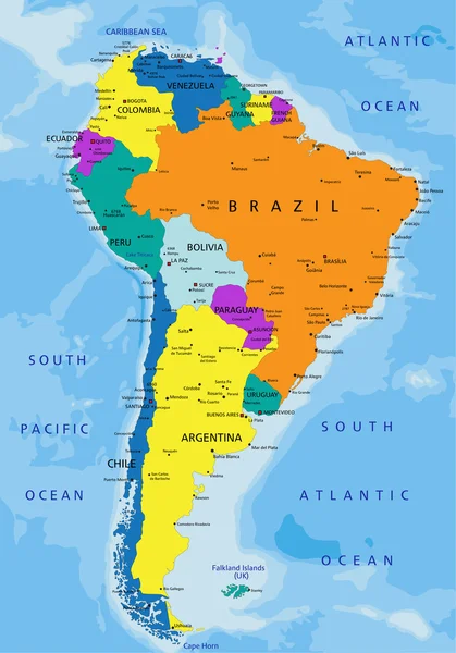
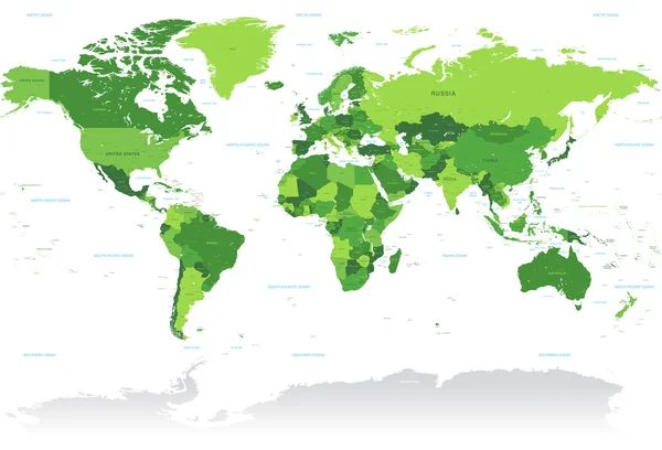
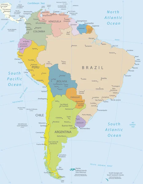
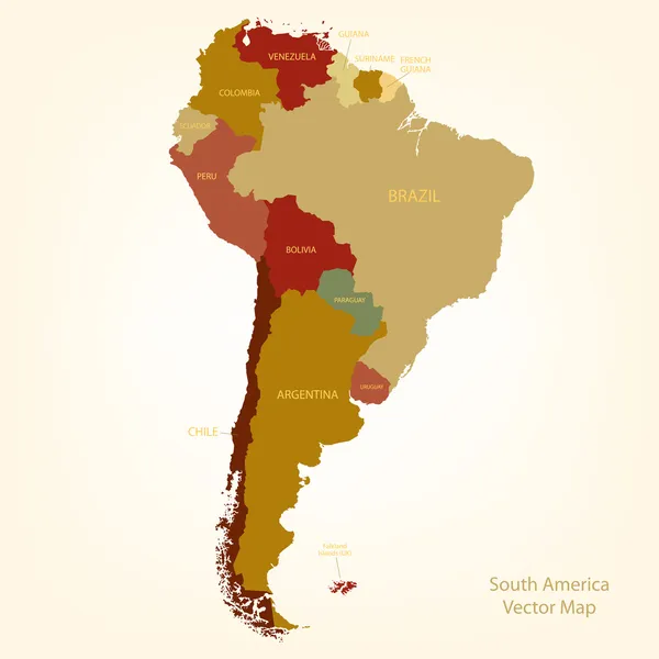
South America, Political Map With Borders, Capitals And The Largest Rivers. A Continent, Bordered By The Pacific And The Atlantic Ocean, By North America And The Caribbean Sea. Illustration. Vector.

Vector, 6.47MB, 6000 × 7368 eps
stock image South america political map

South America Political Map

Image, 5.51MB, 3626 × 4912 jpg
stock image Physical map of South America, with high resolution details. Flattened satellite view of Planet Earth, its geography and topography. 3D illustration - Elements of this image furnished by NASA

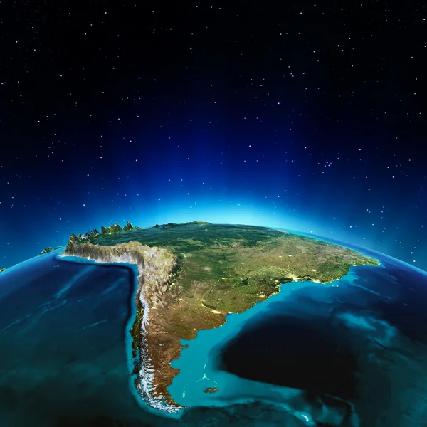
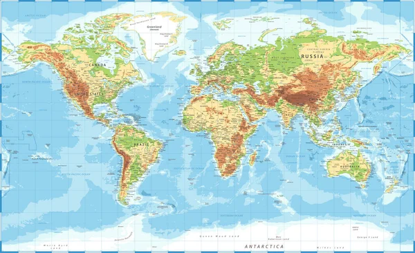
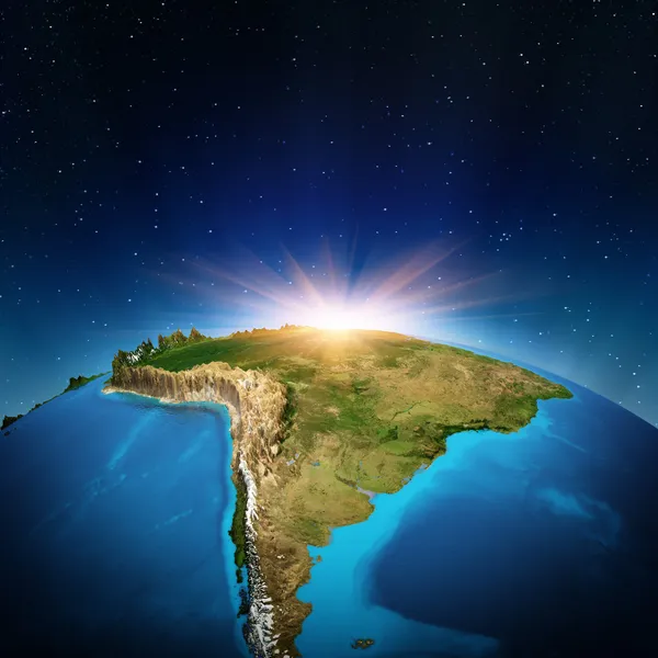
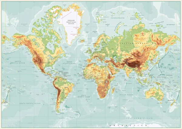
Physical Map Of South America, With High Resolution Details. Flattened Satellite View Of Planet Earth, Its Geography And Topography. 3D Illustration - Elements Of This Image Furnished By NASA

Image, 15.12MB, 7200 × 8100 jpg
stock vector Physical World Map Retro Colors with labeling

Physical World Map Retro Colors With Labeling

Vector, 21.07MB, 8192 × 5812 eps
stock vector World Map Illustration

World Map Illustration

Vector, 5.02MB, 5000 × 3333 eps
stock vector Simplified blank schematic map of World. Political map of countries with generalized borders. Simple flat vector illustration

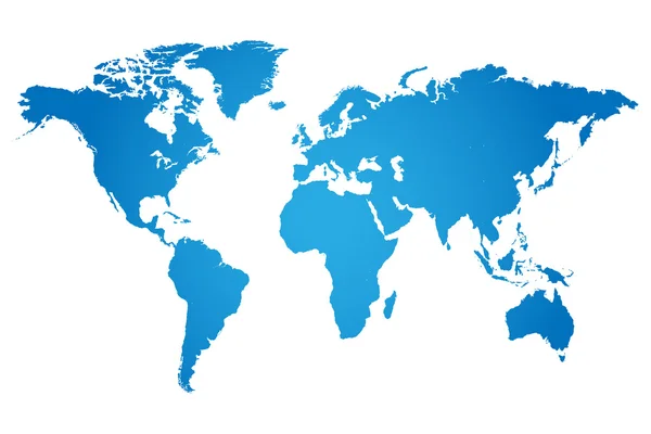
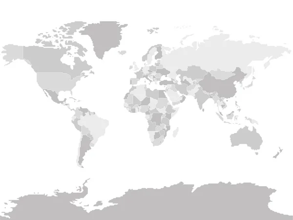
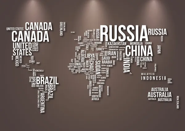
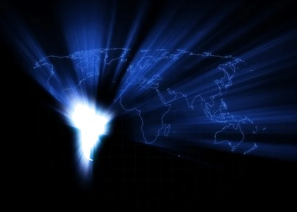
Simplified Blank Schematic Map Of World. Political Map Of Countries With Generalized Borders. Simple Flat Vector Illustration

Vector, 1.18MB, 8000 × 6000 eps
stock vector World Map Vintage Political - Vector Illustration

World Map Vintage Political - Vector Illustration

Vector, 39.88MB, 6001 × 3669 eps
stock vector World Map Color Political - Vector Detailed Illustration

World Map Color Political - Vector Detailed Illustration

Vector, 50.63MB, 5945 × 4005 eps
stock image Main air routes in South America

Main Air Routes In South America

Image, 9.1MB, 5000 × 5000 jpg
stock vector Vctor Green World Map

Vctor Green World Map

Vector, 14.13MB, 8071 × 5500 eps
stock vector Low poly map of South America Geometric illustration of the continent South America polygonal map

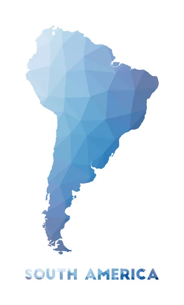
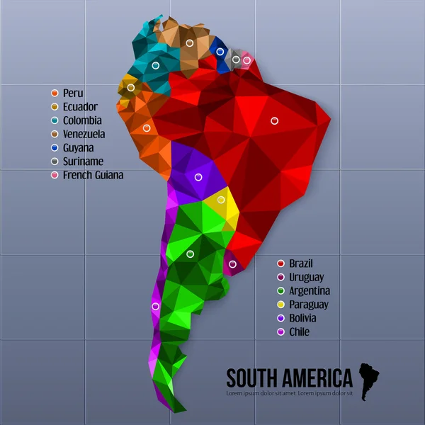
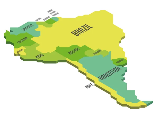
Low Poly Map Of South America Geometric Illustration Of The Continent South America Polygonal Map

Vector, 0.29MB, 4271 × 7053 eps
stock vector South america computer symbol

South America Computer Symbol

Vector, 0.55MB, 5000 × 5000 eps
stock vector South America map.

South America Map.

Vector, 0.81MB, 4134 × 5457 eps
stock vector South America - highly detailed map.

South America - Highly Detailed Map.

Vector, 5.67MB, 3890 × 5000 eps
stock vector Map of Brazil

Map Of Brazil

Vector, 4.12MB, 5261 × 4620 eps
stock image Globe. 3d. South America.

Globe. 3d. South America.

Image, 1.62MB, 5600 × 4200 jpg
stock vector Dotted World maps and globes

Dotted World Maps And Globes

Vector, 1.25MB, 5100 × 4580 eps
stock vector South America geometric map

South America Geometric Map

Vector, 7.47MB, 3941 × 5227 eps
stock vector World Map Vintage Cartoon Detailed - Vector

World Map Vintage Cartoon Detailed - Vector

Vector, 40.46MB, 5998 × 3740 eps
stock vector South America Beige

South America Beige

Vector, 1.11MB, 4724 × 4724 eps
stock vector Map from traditional symbols of Brazil

Map From Traditional Symbols Of Brazil

Vector, 1.3MB, 3900 × 3955 eps
stock vector Map Latin America. Poster map of Latin America. Black and white print map of Latin America for t-shirt, poster or geographic themes. Hand-drawn graphic map with countries. Vector Illustration

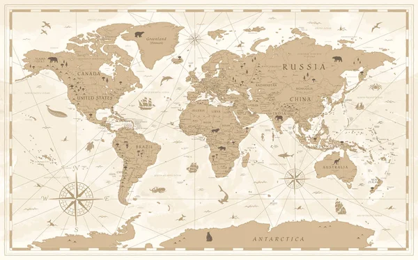
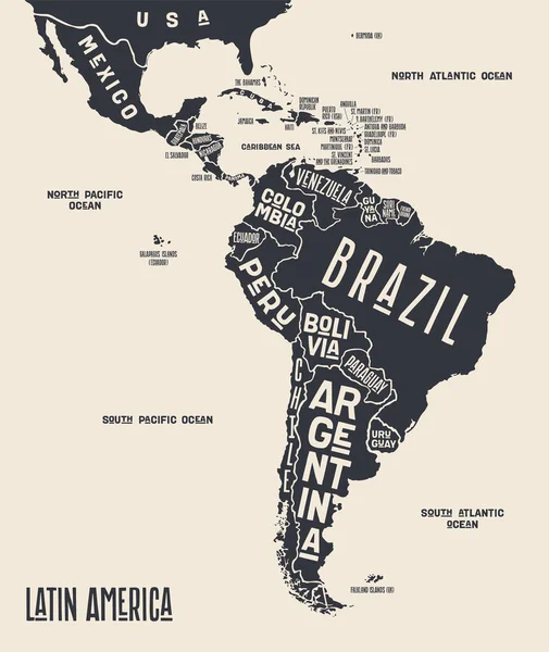
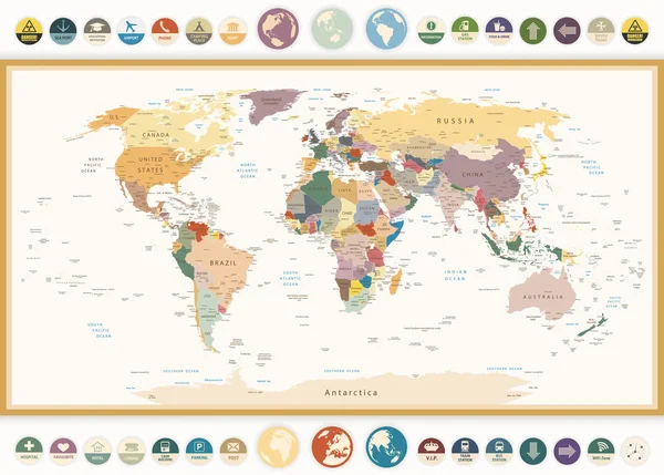
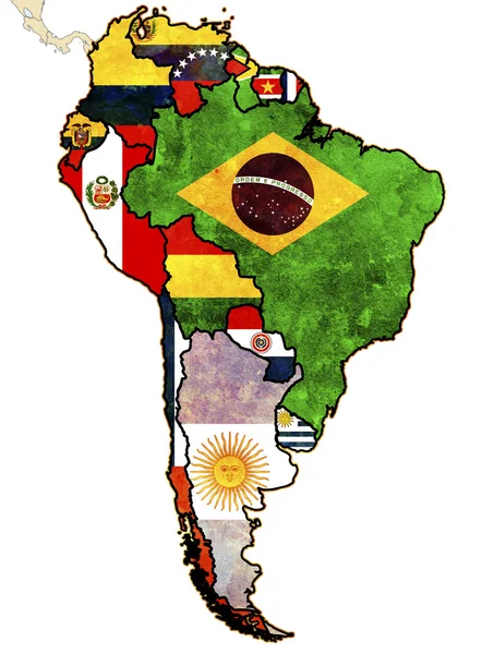
Map Latin America. Poster Map Of Latin America. Black And White Print Map Of Latin America For T-shirt, Poster Or Geographic Themes. Hand-drawn Graphic Map With Countries. Vector Illustration

Vector, 6.47MB, 5048 × 6000 eps
stock vector United States Vector Map

United States Vector Map

Vector, 0.49MB, 3300 × 2700 eps
stock vector map of Brazil, animals, brazilian symbols and icons, vector illustration

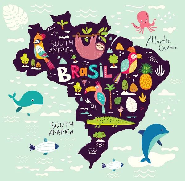
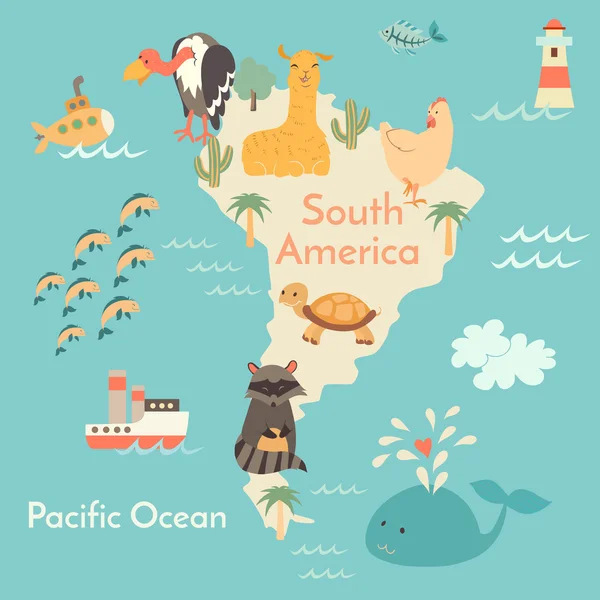
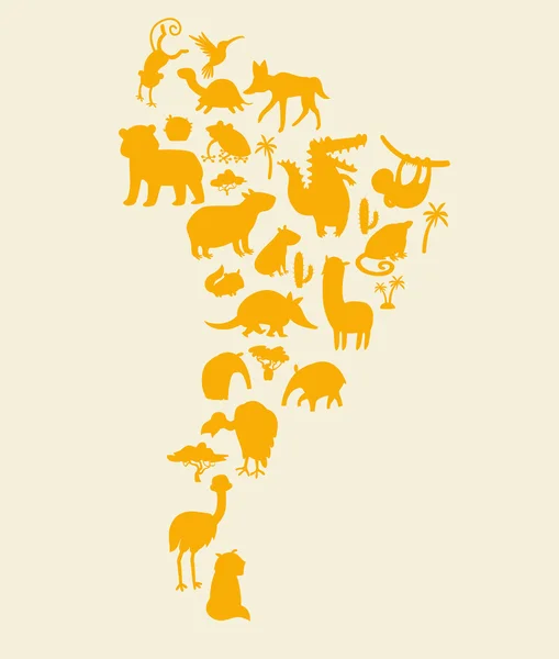
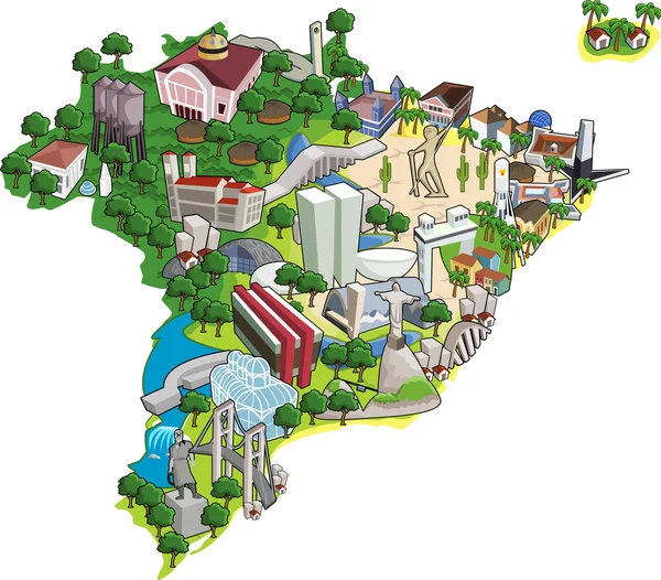
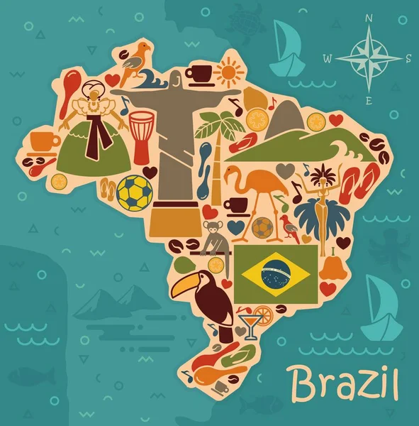
Map Of Brazil, Animals, Brazilian Symbols And Icons, Vector Illustration

Vector, 3.12MB, 6500 × 6368 eps
stock vector South America map. Vector illustration.

South America Map. Vector Illustration.

Vector, 0.36MB, 4167 × 4167 eps
stock vector Brazil

Brazil

Vector, 0.26MB, 4520 × 4520 ai
stock image Pictogram - World map, Line, Stroke, Dash, large - Object, Icon, Symbol

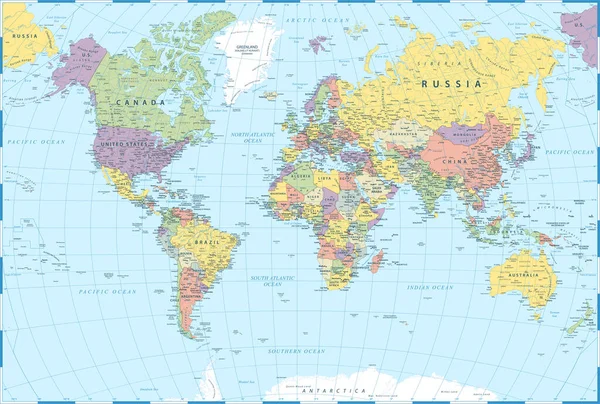
Pictogram - World Map, Line, Stroke, Dash, Large - Object, Icon, Symbol

Image, 1.65MB, 5000 × 3000 jpg
Previous << Page 2 >> Next