
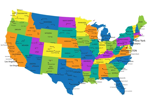
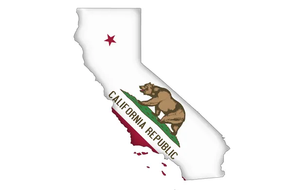
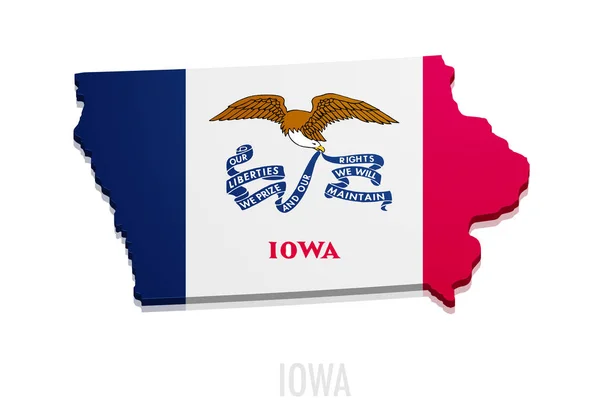
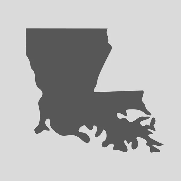
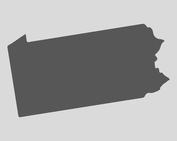
Stock image Map Of The State


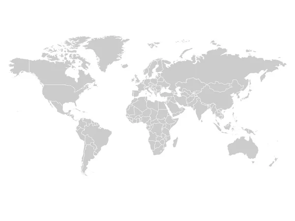
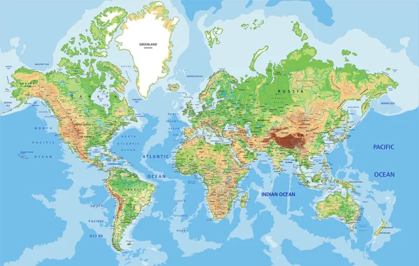
World Map In Grey Color On White Background. High Detail Blank Political Map. Vector Illustration With Labeled Compound Path Of Each Country
Vector, 3.96MB, 8000 × 6000 eps


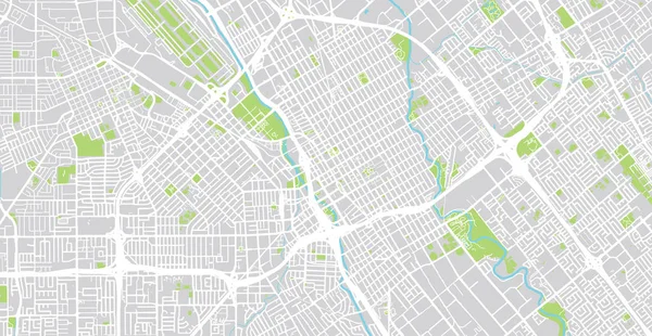
Urban Vector City Map Of SanJose, California, United States Of America
Vector, 4.64MB, 6000 × 3110 eps

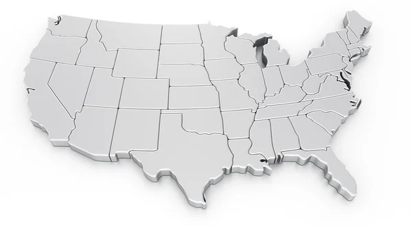
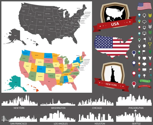
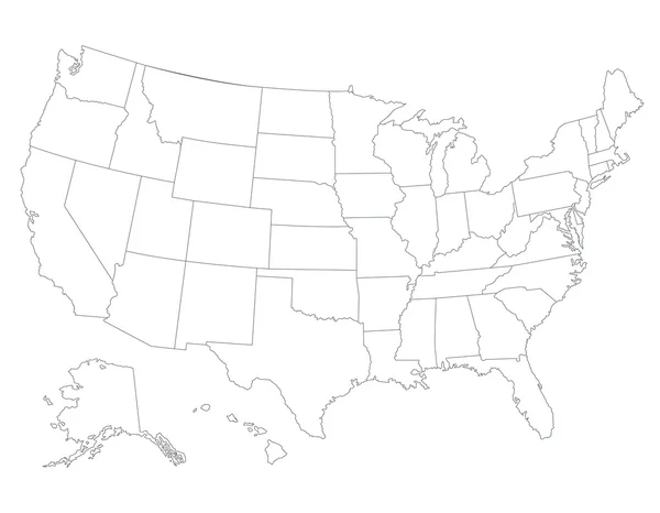
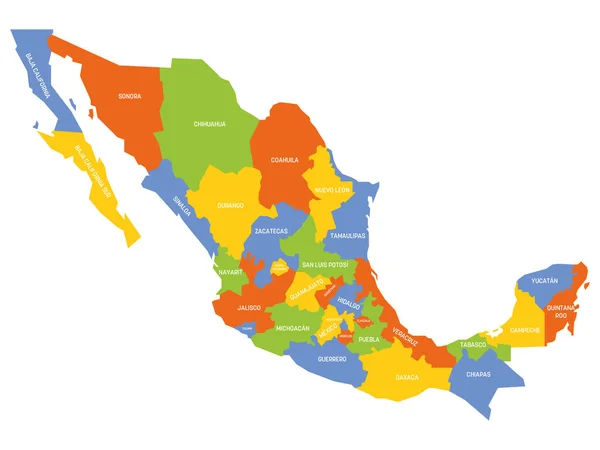
US Election Map. American Presidential Election Results Infographics Template. All The States Are Separated And Named In The Layer Panel.
Vector, 1.51MB, 8192 × 4975 eps
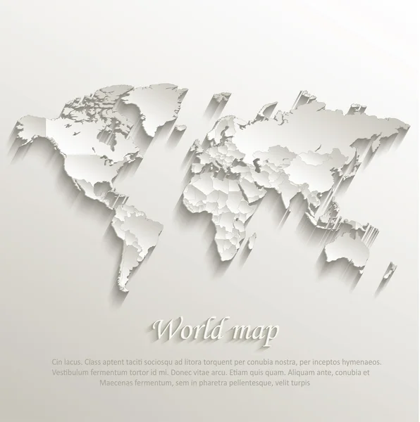
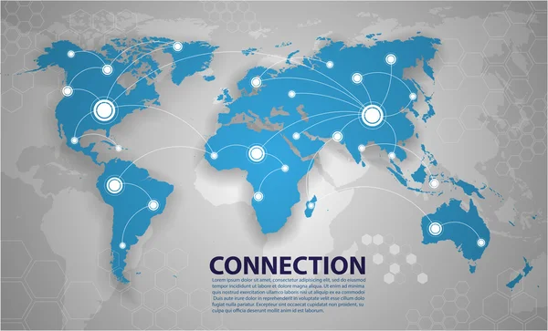
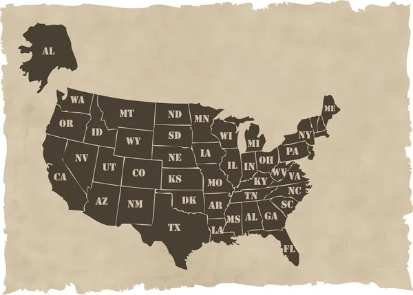
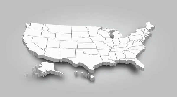
World Political Map Card Paper 3D Natural Vector Individual States Separate
Vector, 13.55MB, 4022 × 4044 eps
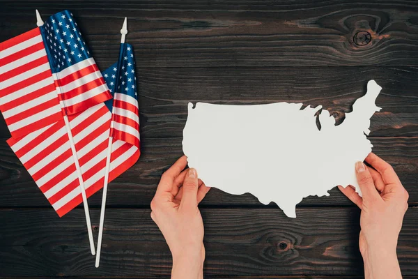
Top View Of Arranged American Flags And Female Hands With Piece Of Blank Map On Wooden Tabletop, Presidents Day Concept
Image, 16.8MB, 6934 × 4628 jpg

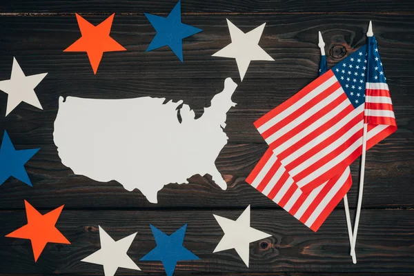
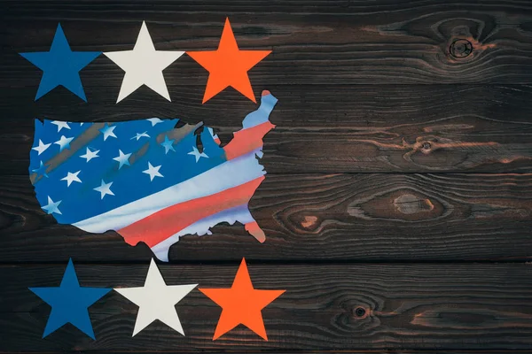
Top View Of Arranged American Flags, Piece Of Map And Stars On Wooden Surface, Presidents Day Celebration Concept
Image, 16.93MB, 7360 × 4912 jpg
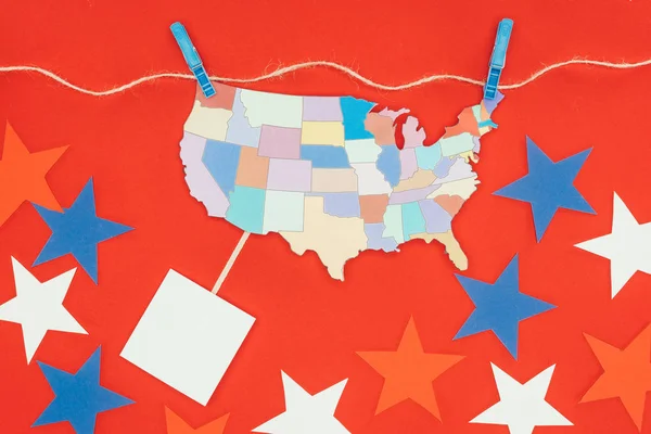
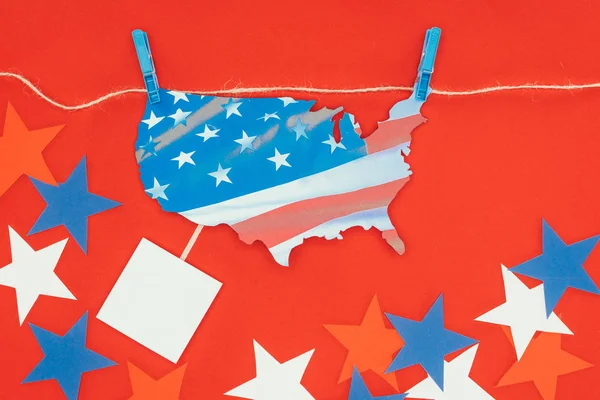
Top View Of Piece Of Map With Usa States Hanging On Rope And Stars Isolated On Red
Image, 15.51MB, 7360 × 4912 jpg
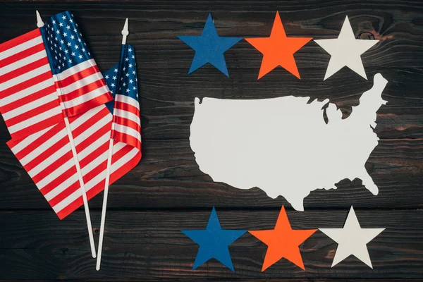
Top View Of Arranged American Flags, Piece Of Map Made Of Paper And Stars On Wooden Surface, Presidents Day Celebration Concept
Image, 17.04MB, 7360 × 4912 jpg
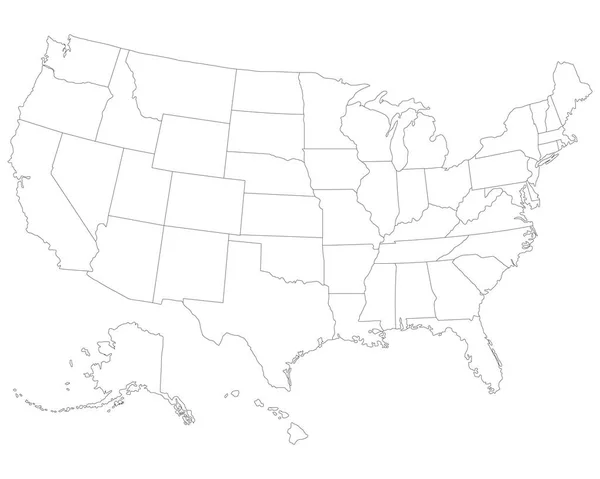
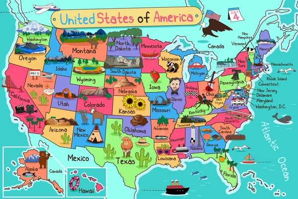
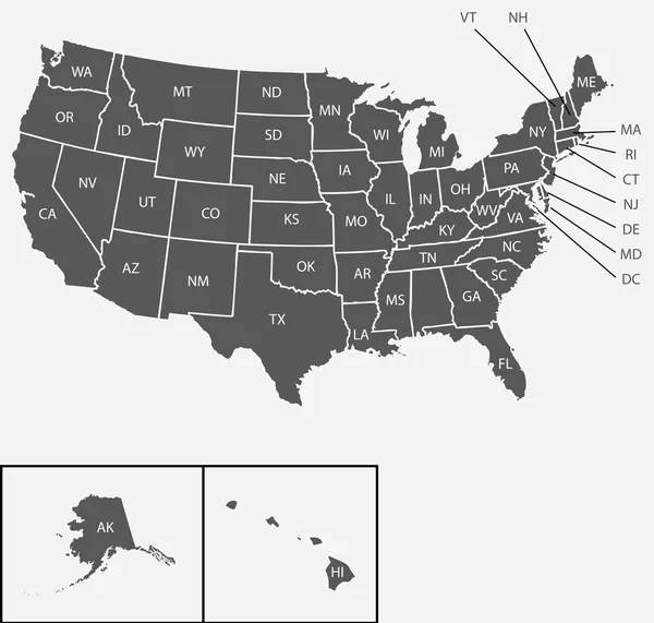
USA Map. Very High Accurate Drawing. Alaska, Hawaii, USA. Vector Eps10.
Vector, 0.98MB, 3001 × 2401 eps
Top View Of Piece Of Map With American Flag Hanging On Rope And Stars Isolated On Red
Image, 16.09MB, 7360 × 4912 jpg
Top View Of Arranged American Flags, Piece Of Map Made Of Paper And Stars On Wooden Surface, Presidents Day Celebration Concept
Image, 16.37MB, 6954 × 4641 jpg
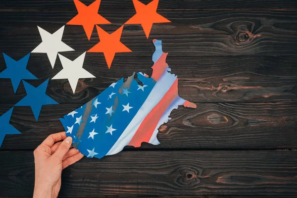
Cropped Shot Of Stars And Female Hand With Piece Of Map With American Flag On Wooden Tabletop, Presidents Day Concept
Image, 17.53MB, 7360 × 4912 jpg

Top View Of Piece Of Map With American Flag Hanging On Rope Isolated On Red, Presidents Day Concept
Image, 13.78MB, 5950 × 3972 jpg
Top View Of Arranged Stars And Piece Of Map With American Flag On Wooden Tabletop, Presidents Day Concept
Image, 15.68MB, 6935 × 4628 jpg


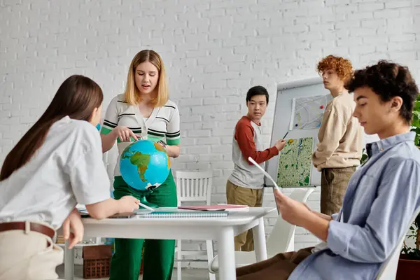
Teenagers Participate In A UN Model, Discussing Global Issues And Finding Solutions.
Image, 17.43MB, 8256 × 5504 jpg

Page 1 >> Next