photo free
Home Images Vectors Videos

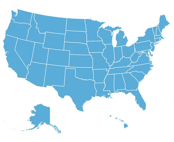
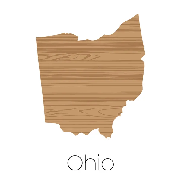
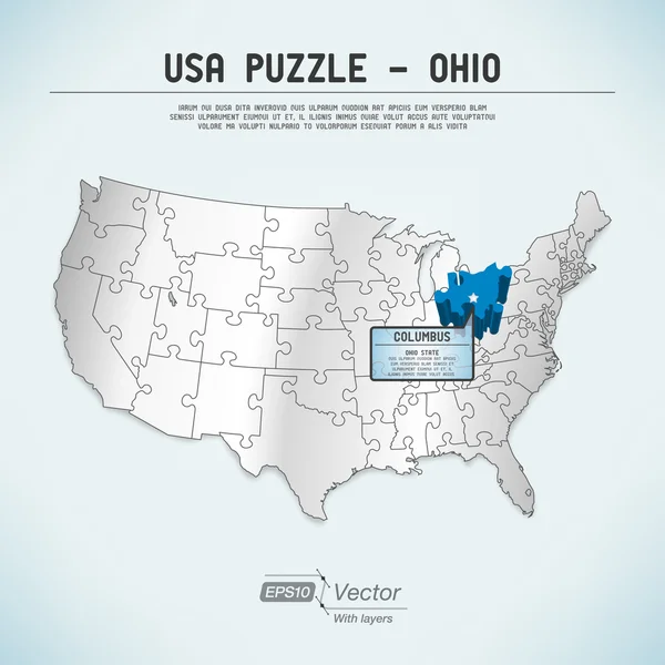
Stock image Map Ohio page 2

stock vector United States Vector Map

United States Vector Map

Vector, 0.49MB, 3300 × 2700 eps
stock image Vintage ohio map

Vintage Ohio Map

Image, 22.37MB, 6300 × 4205 jpg
stock vector USA map country, United States of America. Lettering vector illustration

USA Map Country, United States Of America. Lettering Vector Illustration

Vector, 2.44MB, 6500 × 5254 eps
stock vector Ohio, state of USA - solid black outline map of country area. Simple flat vector illustration

Ohio, State Of USA - Solid Black Outline Map Of Country Area. Simple Flat Vector Illustration

Vector, 0.22MB, 5000 × 5000 eps
stock vector Ohio USA state map vector tag cloud illustration

Ohio USA State Map Vector Tag Cloud Illustration

Vector, 7.98MB, 9213 × 8931 eps
stock vector Stamp set with the name and map of Ohio, United States

Stamp Set With The Name And Map Of Ohio, United States

Vector, 3.88MB, 5669 × 5669 eps
stock vector Map the State of Ohio in gray on a white background

Map The State Of Ohio In Gray On A White Background

Vector, 0.74MB, 4167 × 4167 eps
stock vector Map state of Ohio

Map State Of Ohio

Vector, 0.68MB, 5000 × 5000 eps
stock vector Label Ohio

Label Ohio

Vector, 0.48MB, 3473 × 3473 eps
stock image State of Ohio flag map

State Of Ohio Flag Map

Image, 1.09MB, 2800 × 3005 jpg
stock vector Label with map of Ohio, vector

Label With Map Of Ohio, Vector

Vector, 0.16MB, 5417 × 5439 eps
stock vector Map of the U.S. state of Ohio

Map Of The U.S. State Of Ohio

Vector, 0.65MB, 5000 × 5000 eps
stock vector Ohio black silhouette vector map. Editable high quality illustration of the American state of Ohio simple map

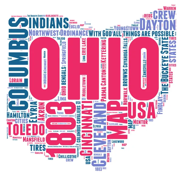
Ohio Black Silhouette Vector Map. Editable High Quality Illustration Of The American State Of Ohio Simple Map

Vector, 0.03MB, 3500 × 3500 eps
stock vector USA maps collection large navigation set and World map

USA Maps Collection Large Navigation Set And World Map

Vector, 18.12MB, 5029 × 8192 eps
stock vector Outline Political US Map with titles of the states. All USA regions are separated and named in a layer panel

Outline Political US Map With Titles Of The States. All USA Regions Are Separated And Named In A Layer Panel

Vector, 0.61MB, 8192 × 4686 eps
stock vector Empty vector map of Dayton, Ohio, USA

Empty Vector Map Of Dayton, Ohio, USA

Vector, 4.56MB, 7168 × 4060 eps
stock vector map of the city of Columbus, Ohio, USA

Map Of The City Of Columbus, Ohio, USA

Vector, 14.74MB, 4809 × 6731 eps
stock vector maps of Canada, United States and Mexico with flags and location\navigation icons. All layers detached and labeled.

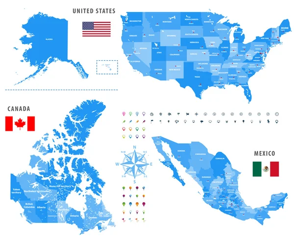
Maps Of Canada, United States And Mexico With Flags And Location\navigation Icons. All Layers Detached And Labeled.

Vector, 10.79MB, 7292 × 5990 eps
stock vector United States of America Vector Map. Illustration.

United States Of America Vector Map. Illustration.

Vector, 0.7MB, 5000 × 5000 eps
stock vector Ohio, Cincinnati stamp

Ohio, Cincinnati Stamp

Vector, 1.04MB, 4409 × 4401 eps
stock vector Map of America. United States Political map. US blueprint with the titles of states and regions. All countries are named in the layer panel.

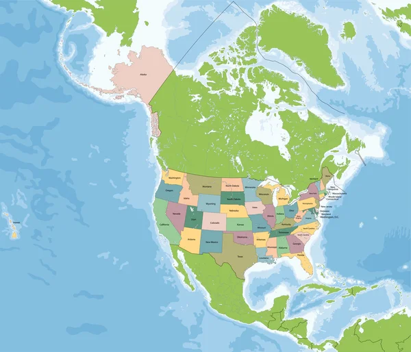
Map Of America. United States Political Map. US Blueprint With The Titles Of States And Regions. All Countries Are Named In The Layer Panel.

Vector, 0.63MB, 8192 × 3657 eps
stock vector US election map. American Presidential Election results infographics template. All the states are separated and named in the layer panel.

US Election Map. American Presidential Election Results Infographics Template. All The States Are Separated And Named In The Layer Panel.

Vector, 1.51MB, 8192 × 4975 eps
stock image United States of America Map. Illustration.

United States Of America Map. Illustration.

Image, 3.85MB, 5000 × 5000 jpg
stock vector Detailed vintage map of United States of America with names of 5

Detailed Vintage Map Of United States Of America With Names Of 5

Vector, 25.88MB, 7296 × 4104 eps
stock vector Ohio State map in gray on a black background 3d

Ohio State Map In Gray On A Black Background 3d

Vector, 0.85MB, 4167 × 4167 eps
stock vector The United States of America map

The United States Of America Map

Vector, 14.26MB, 7002 × 6002 eps
stock vector USA map with federal states

USA Map With Federal States

Vector, 2.04MB, 7076 × 5000 eps
stock vector Map of United state of America Mercator. High detailed vector map - United state of America Mercator.

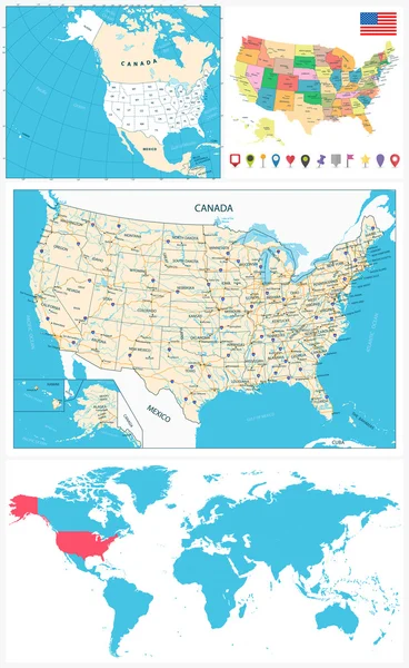
Map Of United State Of America Mercator. High Detailed Vector Map - United State Of America Mercator.

Vector, 5.85MB, 5000 × 3500 eps
stock vector Map of USA with the indication of State of Oregon

Map Of USA With The Indication Of State Of Oregon

Vector, 2.94MB, 5000 × 3200 eps
stock vector map of the city of Cincinnati, State Ohio, USA, , and is the government seat of Hamilton County

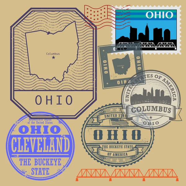
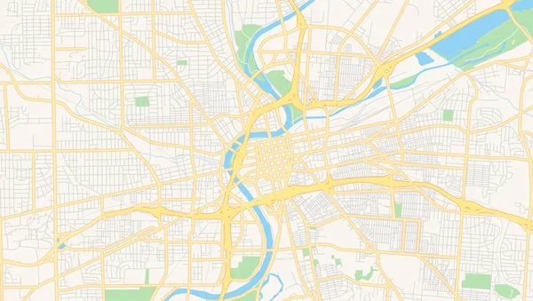
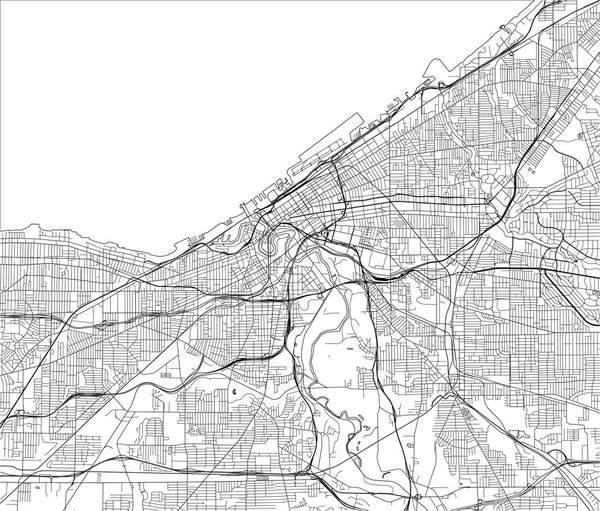
Map Of The City Of Cincinnati, State Ohio, USA, , And Is The Government Seat Of Hamilton County

Vector, 11.24MB, 4818 × 6747 eps
stock image Map of Ohio - USA

Map Of Ohio - USA

Image, 8.98MB, 8000 × 8000 jpg
stock vector USA map with the indication of the State of Louisiana

USA Map With The Indication Of The State Of Louisiana

Vector, 1.52MB, 5000 × 3191 eps
stock vector Ohio counties vector map with USA map colors national flag

Ohio Counties Vector Map With USA Map Colors National Flag

Vector, 22.52MB, 4679 × 4024 eps
stock vector Map of USA with the indication of State of California and Sacramento

Map Of USA With The Indication Of State Of California And Sacramento

Vector, 2.64MB, 5000 × 3200 eps
stock vector USA map with the indication of Sate of Michigan

USA Map With The Indication Of Sate Of Michigan

Vector, 2.99MB, 5000 × 3200 eps
stock vector Map of USA with the indication of State of Colorado and Denver

Map Of USA With The Indication Of State Of Colorado And Denver

Vector, 2.64MB, 5000 × 3200 eps
stock vector US election map. American Presidential Election results infographics template. All the states are separated and named in the layer panel.

US Election Map. American Presidential Election Results Infographics Template. All The States Are Separated And Named In The Layer Panel.

Vector, 1.5MB, 8192 × 4975 eps
stock vector map of the city of Cleveland, Ohio, USA

Map Of The City Of Cleveland, Ohio, USA

Vector, 4.66MB, 5684 × 4847 eps
stock vector USA map with the indication of the State of New York

USA Map With The Indication Of The State Of New York

Vector, 1.52MB, 5000 × 3191 eps
stock vector Illustrated Shape of the State of  Ohio

Illustrated Shape Of The State Of Ohio

Vector, 1.68MB, 3125 × 3125 eps
stock vector USA map with the indication of State of Nebraska and Lincoln

USA Map With The Indication Of State Of Nebraska And Lincoln

Vector, 2.64MB, 5000 × 3200 eps
stock vector United States of America Vector Map. Illustration.

United States Of America Vector Map. Illustration.

Vector, 0.81MB, 5000 × 5000 eps
stock vector United States of America Vector Map. Illustration.

United States Of America Vector Map. Illustration.

Vector, 0.69MB, 5000 × 5000 eps
stock vector USA map with abbreviated state names. United States of America cartography with colored states. Vector illustration.

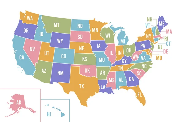
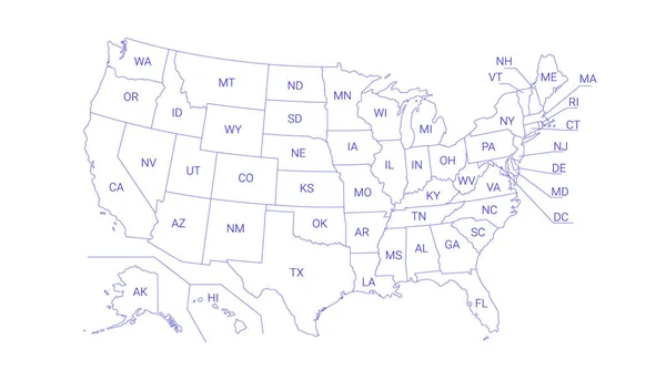
USA Map With Abbreviated State Names. United States Of America Cartography With Colored States. Vector Illustration.

Vector, 0.68MB, 6250 × 4167 eps
stock vector USA map with the indication of the State of Georgia

USA Map With The Indication Of The State Of Georgia

Vector, 1.52MB, 5000 × 3191 eps
stock vector Map of USA with the indication of Washington state

Map Of USA With The Indication Of Washington State

Vector, 2.94MB, 5000 × 3200 eps
stock vector Map of ohio state

Map Of Ohio State

Vector, 2.49MB, 2300 × 2300 eps
stock vector USA map puzzle - One state-one puzzle piece - Ohio, Columbus

USA Map Puzzle - One State-one Puzzle Piece - Ohio, Columbus

Vector, 7.59MB, 2200 × 2200 eps
stock vector Map of USA set

Map Of USA Set

Vector, 4.86MB, 4724 × 4724 eps
stock vector Usa vector map with states names

Usa Vector Map With States Names

Vector, 4.1MB, 2909 × 1900 eps
Previous << Page 2 >> Next