photo free
Home Images Vectors Videos

Stock image Mi Map

stock image Polygonal 2D Mesh High Resolution Raster Map of Michigan State Abstractions

Polygonal 2D Mesh High Resolution Raster Map Of Michigan State Abstractions

Image, 4.15MB, 5198 × 4809 jpg
stock vector Michigan line art map

Michigan Line Art Map

Vector, 4.61MB, 5000 × 5000 eps
stock vector Curved paper map of Michigan state with capital Lansing on Gray Background.

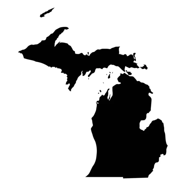
Curved Paper Map Of Michigan State With Capital Lansing On Gray Background.

Vector, 0.28MB, 6519 × 5000 eps
stock image Silhouette of Michigan with green arrows on white background

Silhouette Of Michigan With Green Arrows On White Background

Image, 2.2MB, 5000 × 4000 jpg
stock vector Michigan map

Michigan Map

Vector, 4.42MB, 4601 × 5302 eps
stock vector Outline map of the United States of America. 50 States of the USA. US map with state borders. Silhouette of the USA and flag. Vector illustration.

Outline Map Of The United States Of America. 50 States Of The USA. US Map With State Borders. Silhouette Of The USA And Flag. Vector Illustration.

Vector, 4.69MB, 6251 × 5001 eps
stock vector Michigan, MI, political map, with capital Lansing and metropolitan area Detroit. State in Great Lakes region of upper Midwestern United States, nicknamed The Great Lake State, and The Wolverine State.

Michigan, MI, Political Map, With Capital Lansing And Metropolitan Area Detroit. State In Great Lakes Region Of Upper Midwestern United States, Nicknamed The Great Lake State, And The Wolverine State.

Vector, 6.65MB, 6000 × 6000 eps
stock image Election Voting State Map

Election Voting State Map

Image, 7.57MB, 5000 × 3000 jpg
stock image Michigan MI Puzzle Pieces Map Working Together 3d Illustration

Michigan MI Puzzle Pieces Map Working Together 3d Illustration

Image, 3.82MB, 5000 × 4000 jpg
stock vector U.S. states - map of Michigan with paper cut effect. Hand made. Rivers and lakes are shown. Please look at my other images of cartographic series - they are all very detailed and carefully drawn by hand WITH RIVERS AND LAKES.

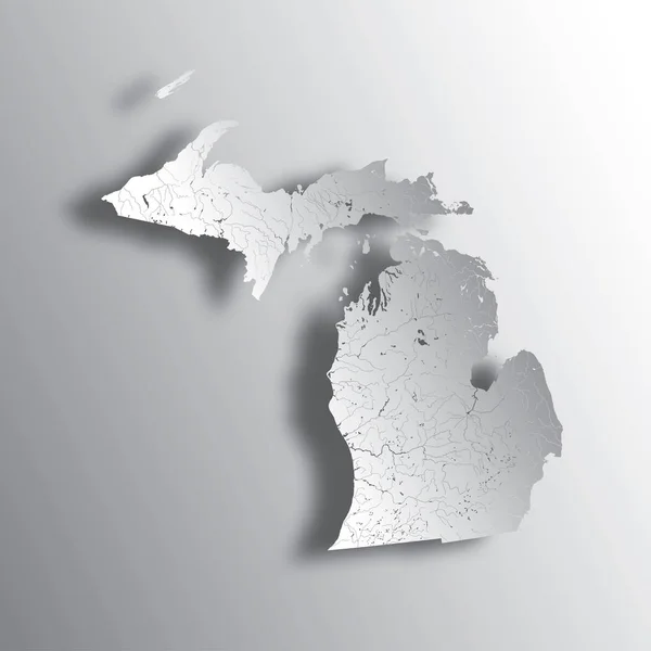
U.S. States - Map Of Michigan With Paper Cut Effect. Hand Made. Rivers And Lakes Are Shown. Please Look At My Other Images Of Cartographic Series - They Are All Very Detailed And Carefully Drawn By Hand WITH RIVERS AND LAKES.

Vector, 3.84MB, 7000 × 7000 eps
stock vector Michigan state map shape simplified silhouette

Michigan State Map Shape Simplified Silhouette

Vector, 2.43MB, 4490 × 4489 eps
stock image Michigan MI Red State Map Word 3d Illustration

Michigan MI Red State Map Word 3d Illustration

Image, 7.64MB, 5000 × 3000 jpg
stock vector Michigan MI State Border USA Map Solid

Michigan MI State Border USA Map Solid

Vector, 5.44MB, 8334 × 8334 eps
stock vector Vector Flat Map of Michigan State with Caption

Vector Flat Map Of Michigan State With Caption

Vector, 0.08MB, 4792 × 4667 eps
stock vector Michigan State Map Triangle Mesh and Scratched Bicolor Seal

Michigan State Map Triangle Mesh And Scratched Bicolor Seal

Vector, 2.01MB, 6396 × 3000 eps
stock image Michigan  State Map

Michigan State Map

Image, 10.12MB, 5000 × 2888 jpg
stock image Michigan MI Money Map Cash Economy Dollars 3d Illustration

Michigan MI Money Map Cash Economy Dollars 3d Illustration

Image, 3.87MB, 5000 × 4000 jpg
stock image Michigan MI USA Flag Stars Stripes Map 3d Illustration

Michigan MI USA Flag Stars Stripes Map 3d Illustration

Image, 1.93MB, 5000 × 4000 jpg
stock image WW 2 evacuation kit for civilians

WW 2 Evacuation Kit For Civilians

Image, 8.19MB, 4050 × 2670 jpg
stock vector Development Collage Michigan State Map and Made in Grunge Stamp

Development Collage Michigan State Map And Made In Grunge Stamp

Vector, 3.3MB, 6681 × 3000 eps
stock image Michigan MI Letters Abbreviation

Michigan MI Letters Abbreviation

Image, 2.5MB, 4000 × 4000 jpg
stock vector Flagged maps of U.S. States, all states of United States of America sorted alphabetically. Vector map contour with flag.

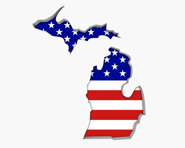
Flagged Maps Of U.S. States, All States Of United States Of America Sorted Alphabetically. Vector Map Contour With Flag.

Vector, 6.68MB, 8000 × 2983 eps
stock image Zoom in on Michigan (state of United States) outlined. Oblique perspective. Satellite imagery. 3D rendering

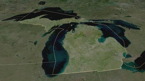
Zoom In On Michigan (state Of United States) Outlined. Oblique Perspective. Satellite Imagery. 3D Rendering

Image, 3.84MB, 3840 × 2160 jpg
stock image American thin blue line flag on map of Michigan

American Thin Blue Line Flag On Map Of Michigan

Image, 2.12MB, 5184 × 3456 jpg
stock image Silhouette of Michigan with pavement on white background

Silhouette Of Michigan With Pavement On White Background

Image, 3.22MB, 5000 × 4000 jpg
stock image Michigan Road Trip Highway Sign, Michigan map and text Road Trip on a highway sign with sky background

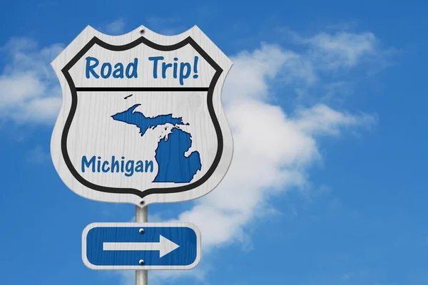
Michigan Road Trip Highway Sign, Michigan Map And Text Road Trip On A Highway Sign With Sky Background

Image, 9.14MB, 5184 × 3456 jpg
stock vector Mosaic Michigan State Map of Industry Items and Made In Grunge Stamp

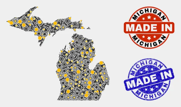
Mosaic Michigan State Map Of Industry Items And Made In Grunge Stamp

Vector, 6.12MB, 5182 × 3087 eps
stock vector MI Location Logo Design for Recruitment and Navigation - Letter MI Logo Vector Icon

MI Location Logo Design For Recruitment And Navigation - Letter MI Logo Vector Icon

Vector, 5.74MB, 5557 × 5556 eps
stock vector Mosaic Michigan State Map of Round Items

Mosaic Michigan State Map Of Round Items

Vector, 0.43MB, 4100 × 3900 eps
stock image 3d Map of Michigan state with color. United State of America, US, United State

3d Map Of Michigan State With Color. United State Of America, US, United State

Image, 5.55MB, 8000 × 8000 jpg
stock image Michigan map isolated on white background, 3d rendering

Michigan Map Isolated On White Background, 3d Rendering

Image, 2.67MB, 6000 × 3999 jpg
stock vector Michigan, U.S. state, multi colored political map with borders, county names and capital Lansing. State in the Great Lakes region of the Upper Midwest of the United States, subdivided into 83 counties.

Michigan, U.S. State, Multi Colored Political Map With Borders, County Names And Capital Lansing. State In The Great Lakes Region Of The Upper Midwest Of The United States, Subdivided Into 83 Counties.

Vector, 2.67MB, 6000 × 6772 eps
stock vector Michigan state blank outline map

Michigan State Blank Outline Map

Vector, 0.27MB, 4000 × 4800 eps
stock vector MI Location Logo Design for Human Resources, Recruitment, and Navigation - Letter MI Logo with Location Icon for Business and Technology

MI Location Logo Design For Human Resources, Recruitment, And Navigation - Letter MI Logo With Location Icon For Business And Technology

Vector, 5.75MB, 5557 × 5556 eps
stock vector MI Location Logo Bundle. Letter MI Logo Dual Vector Icons for Recruitment and Navigation

MI Location Logo Bundle. Letter MI Logo Dual Vector Icons For Recruitment And Navigation

Vector, 5.64MB, 8057 × 4028 eps
Page 1 >> Next