
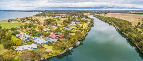
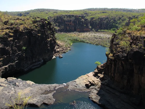
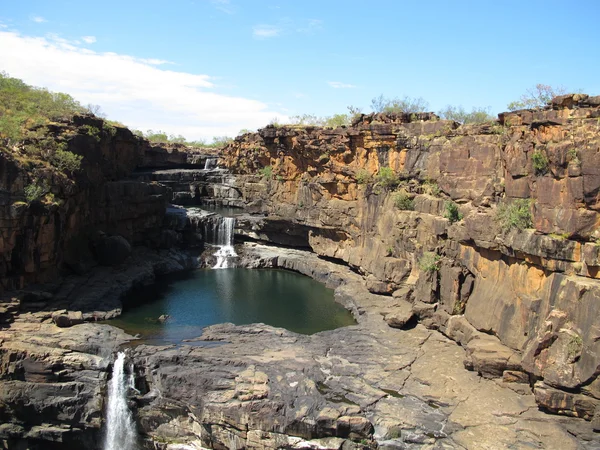
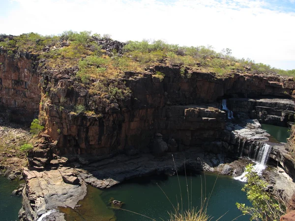
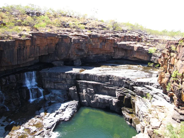
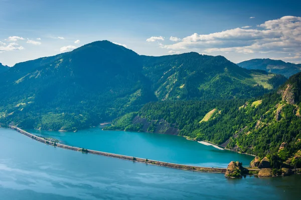
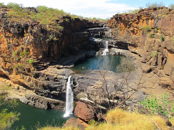
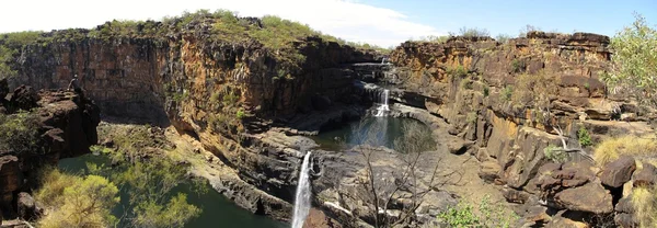
Stock image Mitchell River
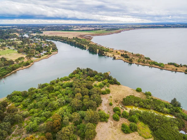
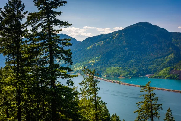
Aerial View Of Eagle Point Gippsland Lakes Reserve, Victoria, Australia
Image, 2.07MB, 3386 × 2538 jpg

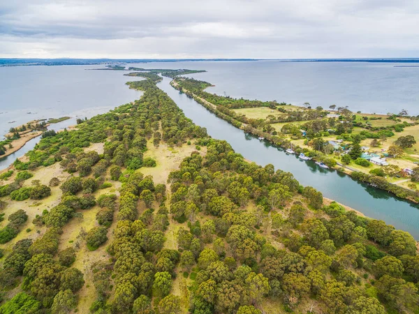
Aerial Panorama Of Mitchell River And Eagle Point Bay, Gippsland, Australia
Image, 2.96MB, 5597 × 2386 jpg


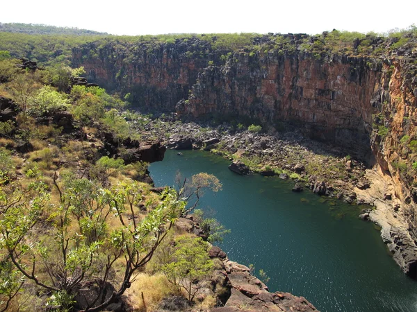
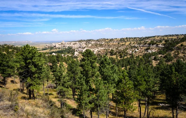
Abattoir Swamp Near Mount Molloy Offers A 75m Boardwalk To A Bird Hide. Managed By MRWMG, It's A Biodiversity Hotspot With Plans To Improve Habitat And Facilities For Better Birdwatching Experiences
Image, 17.94MB, 5510 × 3673 jpg

Abattoir Swamp Near Mount Molloy Offers A 75m Boardwalk To A Bird Hide. Managed By MRWMG, It's A Biodiversity Hotspot With Plans To Improve Habitat And Facilities For Better Birdwatching Experiences
Image, 21.14MB, 6000 × 4000 jpg

Abattoir Swamp Near Mount Molloy Offers A 75m Boardwalk To A Bird Hide. Managed By MRWMG, It's A Biodiversity Hotspot With Plans To Improve Habitat And Facilities For Better Birdwatching Experiences
Image, 15.75MB, 5620 × 3747 jpg

Abattoir Swamp Near Mount Molloy Offers A 75m Boardwalk To A Bird Hide. Managed By MRWMG, It's A Biodiversity Hotspot With Plans To Improve Habitat And Facilities For Better Birdwatching Experiences
Image, 20.04MB, 3966 × 5950 jpg

Abattoir Swamp Near Mount Molloy Offers A 75m Boardwalk To A Bird Hide. Managed By MRWMG, It's A Biodiversity Hotspot With Plans To Improve Habitat And Facilities For Better Birdwatching Experiences
Image, 18.03MB, 5650 × 3767 jpg

Abattoir Swamp Near Mount Molloy Offers A 75m Boardwalk To A Bird Hide. Managed By MRWMG, It's A Biodiversity Hotspot With Plans To Improve Habitat And Facilities For Better Birdwatching Experiences
Image, 17.17MB, 5390 × 3593 jpg

Abattoir Swamp Near Mount Molloy Offers A 75m Boardwalk To A Bird Hide. Managed By MRWMG, It's A Biodiversity Hotspot With Plans To Improve Habitat And Facilities For Better Birdwatching Experiences
Image, 20.54MB, 5950 × 3966 jpg

Abattoir Swamp Near Mount Molloy Offers A 75m Boardwalk To A Bird Hide. Managed By MRWMG, It's A Biodiversity Hotspot With Plans To Improve Habitat And Facilities For Better Birdwatching Experiences
Image, 17.74MB, 3726 × 5590 jpg

Abattoir Swamp Near Mount Molloy Offers A 75m Boardwalk To A Bird Hide. Managed By MRWMG, It's A Biodiversity Hotspot With Plans To Improve Habitat And Facilities For Better Birdwatching Experiences
Image, 19.76MB, 6000 × 4000 jpg

Abattoir Swamp Near Mount Molloy Offers A 75m Boardwalk To A Bird Hide. Managed By MRWMG, It's A Biodiversity Hotspot With Plans To Improve Habitat And Facilities For Better Birdwatching Experiences
Image, 14.67MB, 3667 × 5500 jpg


PERTH, AUSTRALIA, JANUARY 18, 2020: Skyline Of Perth Viewed From Kings Park And Botanic Garden, Australia
Image, 20.15MB, 6016 × 4016 jpg
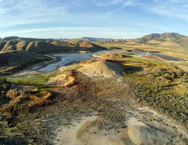
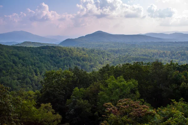
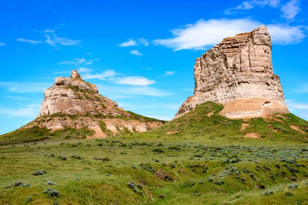
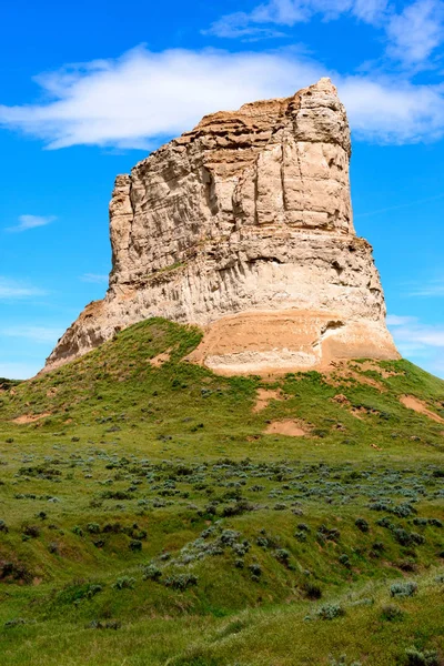
More Audacious Aerial Photography Of The Vibrant And Photogenic John Day Fossil Beds And The Iridescent Painted Hills Reservoir Of Wheeler County In Mitchell, Oregon
Image, 7.92MB, 3300 × 2550 jpg
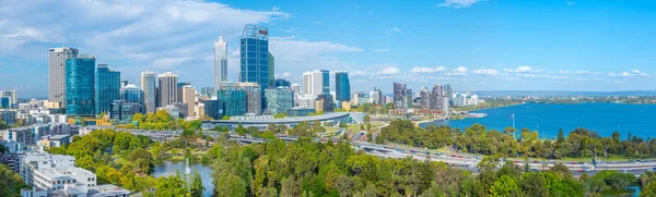
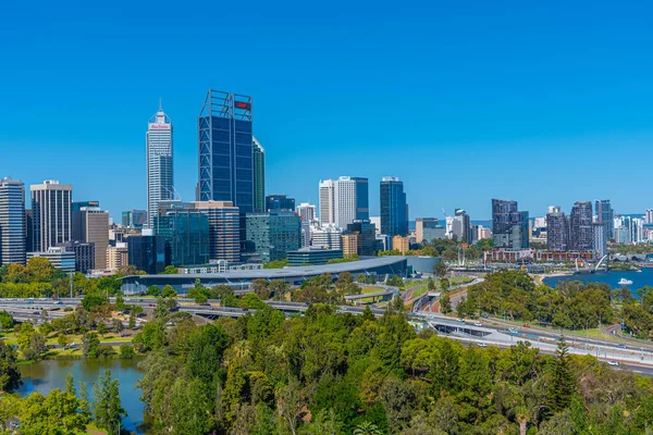
PERTH, AUSTRALIA, JANUARY 16, 2020: Skyline Of Perth Viewed From Kings Park And Botanic Garden, Australi
Image, 30.09MB, 17815 × 5372 jpg

PERTH, AUSTRALIA, JANUARY 16, 2020: Skyline Of Perth Viewed From Kings Park And Botanic Garden, Australia
Image, 18.81MB, 6016 × 4016 jpg
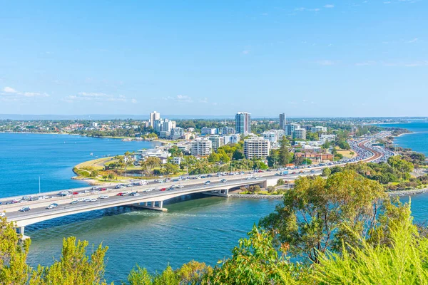
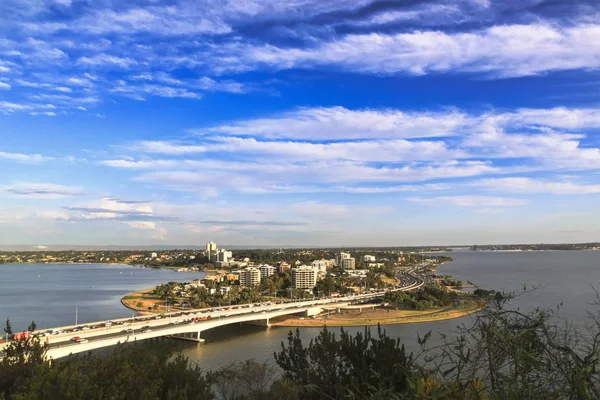
Aerial View Of South Perth Suburb From Kings Park And Botanical Garden
Image, 3.96MB, 3802 × 2534 jpg
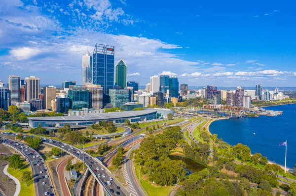
PERTH, AUSTRALIA, JANUARY 18, 2020: Skyline Of Perth Viewed From Kings Park And Botanic Garden, Australia
Image, 17.64MB, 6016 × 4016 jpg

PERTH, AUSTRALIA, JANUARY 16, 2020: Skyline Of Perth Viewed From Kings Park And Botanic Garden, Australia
Image, 18.05MB, 5464 × 3640 jpg


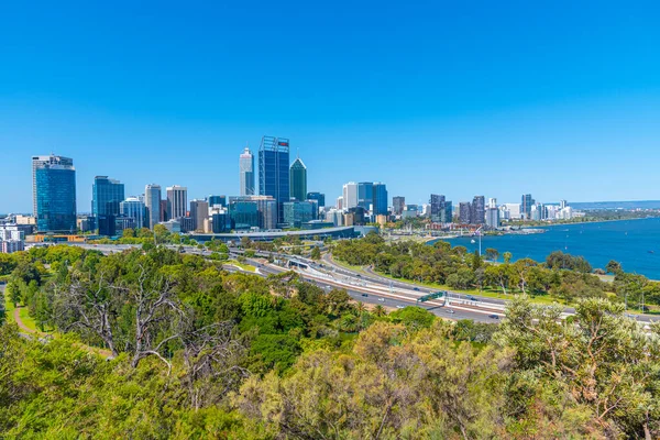
PERTH, AUSTRALIA, JANUARY 18, 2020: Skyline Of Perth Viewed From Kings Park And Botanic Garden, Australia
Image, 21.16MB, 6016 × 4016 jpg
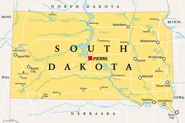
South Dakota, SD, Political Map, With Capital Pierre, And Largest City Sioux Falls. State In The Upper Midwestern Subregion Of The United States Of America, Nicknamed The Mount Rushmore State. Vector.
Vector, 3.62MB, 9000 × 5999 eps


Rough-scaled Python - Morelia Carinata, Beautiful Large-scaled Python Species From Jungles And River Banks, Endemic To Australia.
Image, 6.41MB, 3999 × 2667 jpg
Page 1 >> Next