
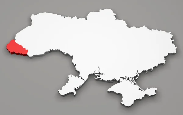
Stock image Mykolaiv Border
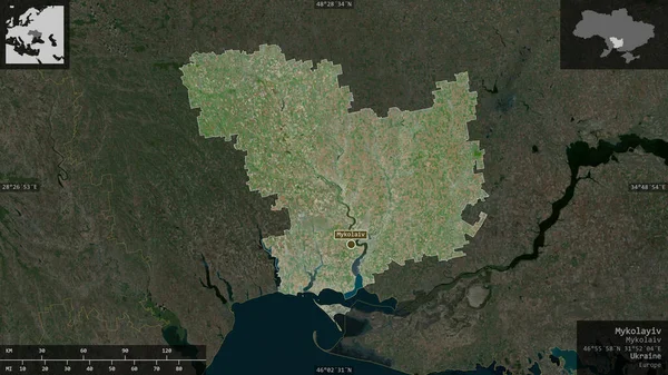
Mykolayiv, Region Of Ukraine. Satellite Imagery. Shape Presented Against Its Country Area With Informative Overlays. 3D Rendering
Image, 6.09MB, 2880 × 1620 jpg


Uzhhorod. Ukraine. June 13, 2022. Map Of Ukraine Through A Magnifying Glass
Image, 10.62MB, 4246 × 2840 jpg

Uzhhorod. Ukraine. June 13, 2022. Map Of Ukraine Through A Magnifying Glass
Image, 12.12MB, 4246 × 2840 jpg

Uzhhorod. Ukraine. June 13, 2022. Map Of Ukraine Through A Magnifying Glass
Image, 12.5MB, 4246 × 2840 jpg


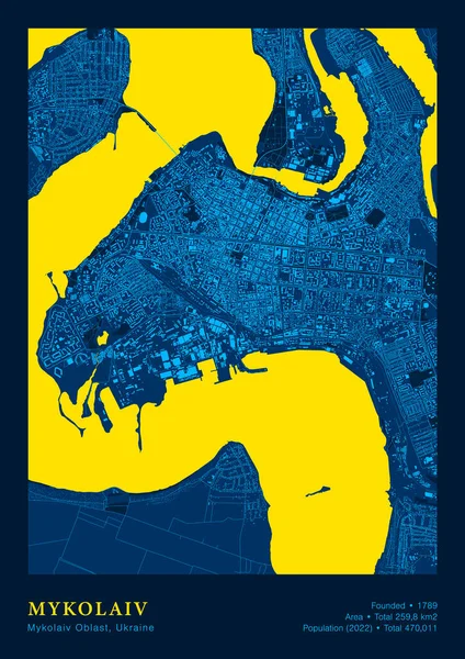
Mykolaiv Map Vector Poster Highly Detailed Map In Patriotic Yellow Blue Colours
Vector, 11.68MB, 4200 × 5940 eps
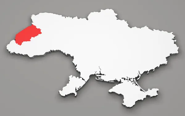


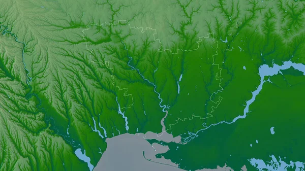
Mykolayiv, Region Of Ukraine. Colored Shader Data With Lakes And Rivers. Shape Outlined Against Its Country Area. 3D Rendering
Image, 4.68MB, 2880 × 1620 jpg

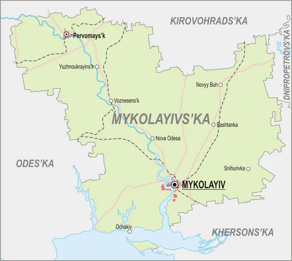
Mykolaiv Map, Ukraine, Europe. Filled And Outline Map Designs. Vector Illustration
Vector, 0.38MB, 6001 × 3001 eps

Ukraine Region Silhouettes Set And Blank Map Of The Country Isolated On White Background. Vector Illustration Design
Vector, 3.33MB, 5500 × 3350 eps

Page 1 >> Next