
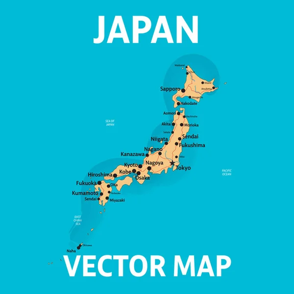
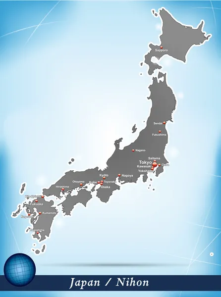
Stock image Nagano Map
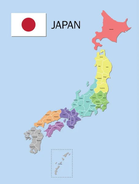
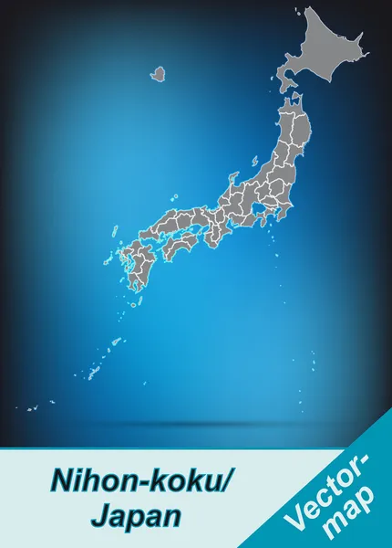
Japan Map. Color Map Of The Provinces Of Japan. Japan Administrative Map. Regions And Prefectures.
Vector, 5.62MB, 5248 × 6934 eps
Japan Map. Color Map Of The Provinces Of Japan. Japan Administrative Map. Regions And Prefectures.
Vector, 4.79MB, 5248 × 6187 eps
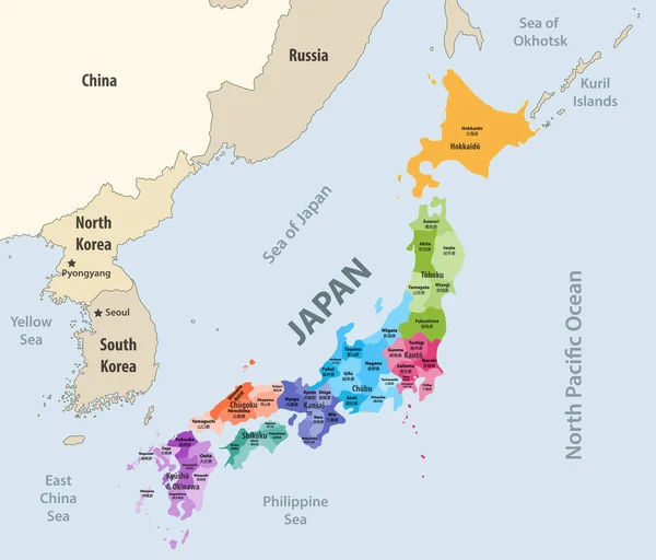
Japan Prefectures (japanese Names Gives In Parentheses) Vector Map Colored Be Regions With Neighbouring Countries And Territories
Vector, 6.87MB, 8333 × 7112 eps

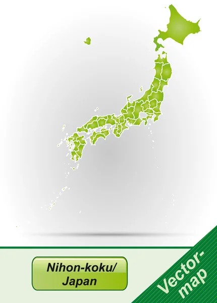
Japan Map. Color Map Of The Provinces Of Japan. Japan Administrative Map. Regions And Prefectures.
Vector, 4.7MB, 5248 × 6187 eps
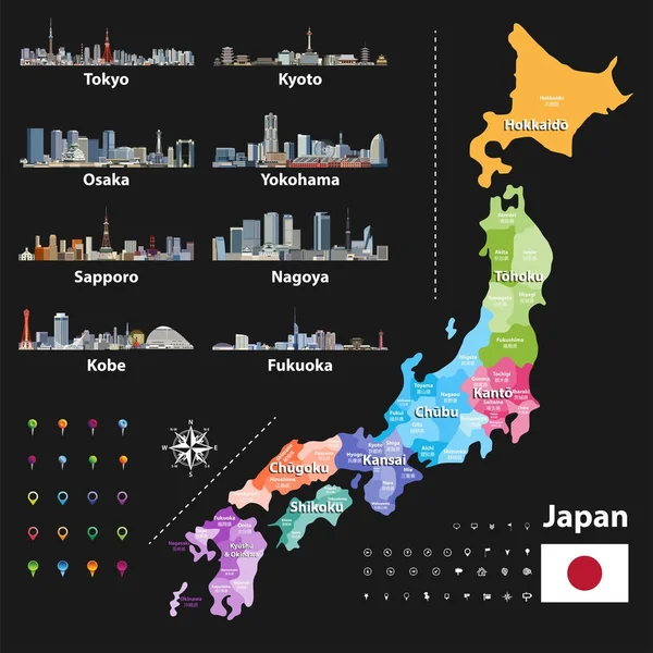
Vector Illustration Of Japanese Flag And Prefectures Map Colored By Regions. Largest City Skylines, Navigation, Location, And Travel Icons
Vector, 12.9MB, 7293 × 7292 eps

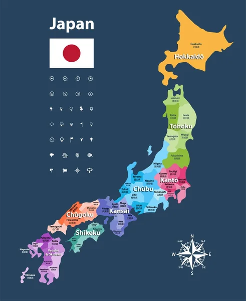
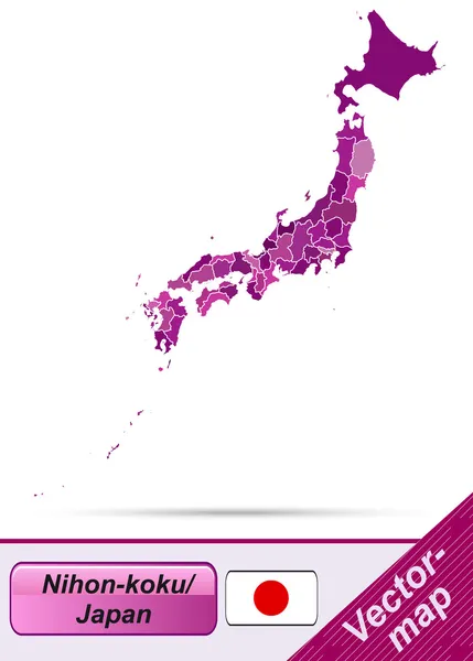
Japan Prefectures Vector Map Colored Be Regions. Japanese Names Gives In Parentheses. Flag Of Japan
Vector, 6.15MB, 5975 × 7292 eps

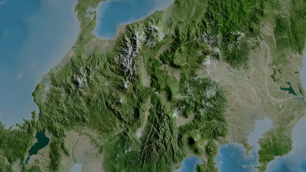
Nagano, Prefecture Of Japan. Satellite Imagery. Shape Outlined Against Its Country Area. 3D Rendering
Image, 6.54MB, 2880 × 1620 jpg
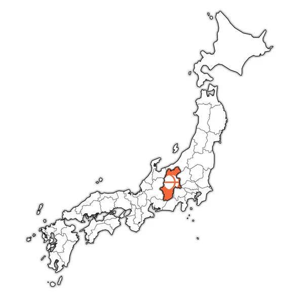
Nagano Flag Of Troms Prefecture On Map With Administrative Divisions And Borders Of Japan
Image, 0.75MB, 4576 × 4531 jpg


Symbol Map Of The Prefecture Nagano (Japan). Abstract Map Showing The State/province With A Pattern Of Black And White Squares Like A Chessboard
Vector, 0.6MB, 3866 × 6000 eps

Symbol Map Of The Prefecture Nagano (Japan) Showing The Contour Of The State/province Buffered Inside In Rainbow Colors
Vector, 0.91MB, 3866 × 6000 eps

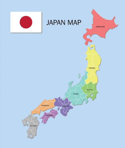
Japan, Regions And Prefectures, Multi Colored Political Map. The Eight Regions Of Japan, Divided Into 47 Prefectures, Which Are The First Level Administrative Divisions Of The Unitary State. Vector
Vector, 3.72MB, 6000 × 7045 eps

Symbol Map Of The Prefecture Nagano (Japan) Showing The State/province With A Pattern Of Randomly Distributed Colorful Squares Of Different Sizes
Vector, 0.85MB, 3866 × 6000 eps

Symbol Map Of The Prefecture Nagano (Japan) Showing The State/province With A Pattern Of Black Circles
Vector, 1.21MB, 3866 × 6000 eps

Symbol Map Of The Prefecture Nagano (Japan) Showing The Territory With Concentric Circles In Rainbow Colors Like A Shooting Target
Vector, 0.64MB, 3866 × 6000 eps
Page 1 >> Next