
Stock image Nordjylland Boundary Map


Northern Europe, Gray Political Map. British Isles, Fennoscandia, Jutland Peninsula, Baltic Plain Lying To The East, And Islands Offshore From Mainland Northern Europe And The Main European Continent.
Vector, 3.18MB, 7972 × 6000 eps
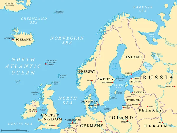
Northern Europe, Political Map. British Isles, Fennoscandia, Jutland Peninsula, Baltic Plain Lying To The East, And The Islands Offshore From Mainland Northern Europe And The Main European Continent.
Vector, 5.81MB, 7972 × 6000 eps
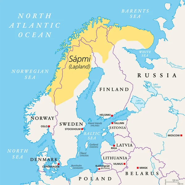
Sapmi, Lapland, Political Map. A Cultural Region In Northern And Eastern Europe, Including The Northern Parts Of Fennoscandia, Stretching Over The Four Countries Norway, Sweden, Finland And Russia.
Vector, 3.84MB, 6000 × 6000 eps

Page 1 >> Next