
Stock image Ortelius Oval
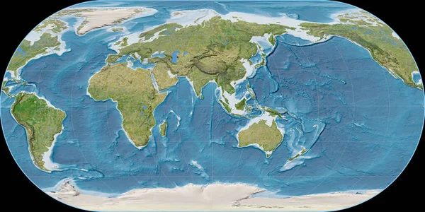
World Map In The Ortelius Oval Projection Centered On 90 East Longitude. Satellite Imagery B - Raw Composite Of Raster With Graticule. 3D Illustration
Image, 10.66MB, 4000 × 2000 jpg
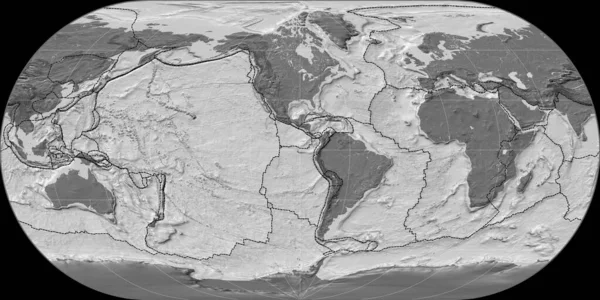
World Map In The Ortelius Oval Projection Centered On 90 West Longitude. Bilevel Topographic Map - Composite Of Raster With Graticule And Tectonic Plates Borders. 3D Illustration
Image, 4.7MB, 4000 × 2000 jpg

World Map In The Ortelius Oval Projection Centered On 11 East Longitude. Bilevel Topographic Map - Composite Of Raster With Graticule And Tectonic Plates Borders. 3D Illustration
Image, 4.73MB, 4000 × 2000 jpg
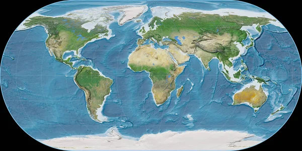
World Map In The Ortelius Oval Projection Centered On 11 East Longitude. Satellite Imagery A - Raw Composite Of Raster With Graticule. 3D Illustration
Image, 10.45MB, 4000 × 2000 jpg
Page 1 >> Next