
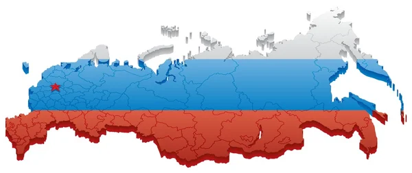
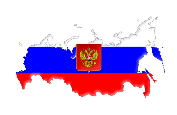
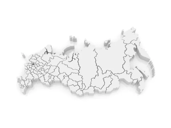
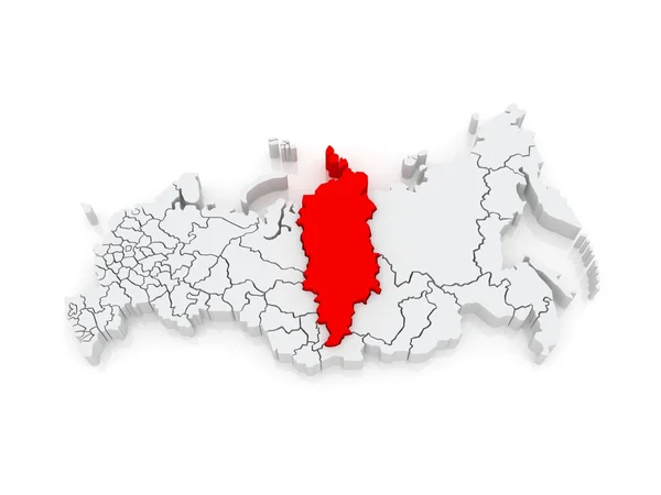
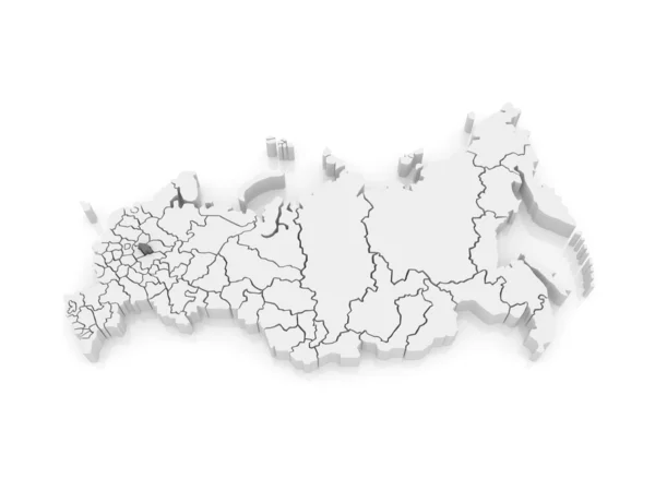
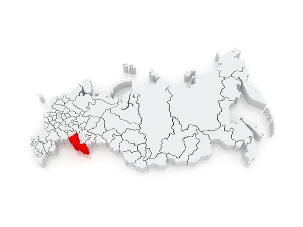
Stock image Regions Of The Russian Federation

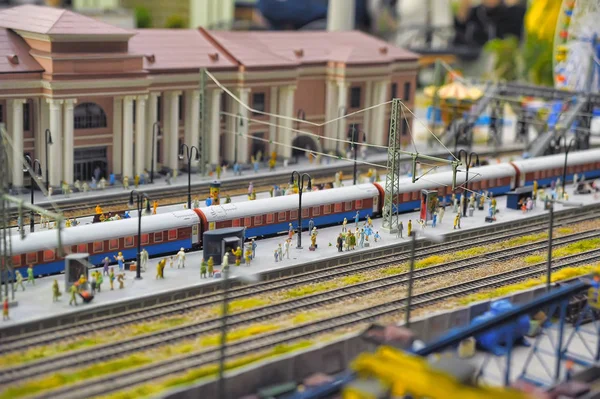
Saint-Petersburg / Russian Federation - 10.05. 2018: Exhibition Fragment Of National Museum Grand Maket Russia, Largest Layouts
Image, 5.62MB, 4256 × 2832 jpg

The Exhibition Of Grand Maket Russia.The Bridge Over The River, A Lighthouse, A View Of The City, A Fragment Of A Self-large Layout In Russia
Image, 9.5MB, 5184 × 3888 jpg
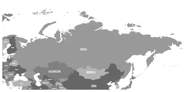
Political Map Of Russia And Surrounding European And Asian Countries. Four Shades Of Grey Map With White Labels On White Background. Vector Illustration
Vector, 1.4MB, 6000 × 3000 eps

Political Map Of Russia And Surrounding European And Asian Countries.Dark Grey Map With White Labels On White Background. Vector Illustration
Vector, 1.93MB, 6000 × 3000 eps

Russia Map, Individual Regions With Names, Infographics And Icons Vector
Vector, 2.44MB, 5463 × 3500 eps
Saint-Petersburg / Russian Federation - 10.05. 2018: Exhibition Fragment Of National Museum Grand Maket Russia, Largest Layouts
Image, 5.86MB, 4256 × 2832 jpg


Political Map Of Russia And Surrounding European And Asian Countries. Four Shades Of Turquoise Blue Map With White Labels On White Background. Vector Illustration
Vector, 1.4MB, 6000 × 3000 eps


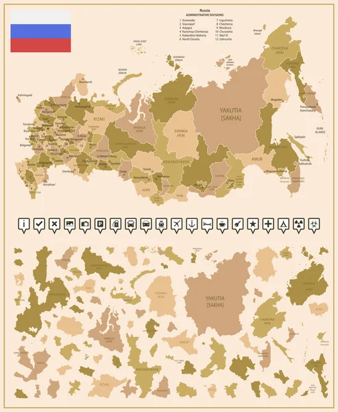
Russia - Detailed Map Of The Country In Brown Colors, Divided Into Regions. Vector Illustration
Vector, 2.57MB, 5266 × 6401 eps

Page 1 >> Next