photo free
Home Images Vectors Videos

Stock image Richland page 2

stock image Drone panorama of the South Carolina Statehouse and Columbia skyline on a sunny morning. Columbia is the capital of the U.S. state of South Carolina and serves as the county seat of Richland County

Drone Panorama Of The South Carolina Statehouse And Columbia Skyline On A Sunny Morning. Columbia Is The Capital Of The U.S. State Of South Carolina And Serves As The County Seat Of Richland County

Image, 30.95MB, 8358 × 3523 jpg
stock vector Ohio Counties Map

Ohio Counties Map

Vector, 9.69MB, 5000 × 5000 eps
stock image Map of Richland County in Illinois state on white background. single County map highlighted by black colour on Illinois map. UNITED STATES, US

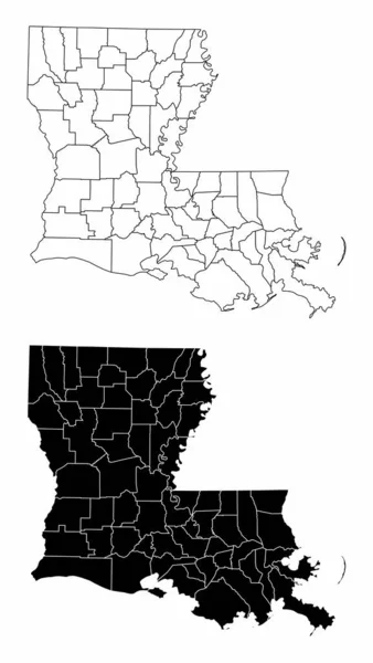
Map Of Richland County In Illinois State On White Background. Single County Map Highlighted By Black Colour On Illinois Map. UNITED STATES, US

Image, 5.19MB, 8000 × 8000 jpg
stock image north richland hills vintage green road sign with blue sky backg

North Richland Hills Vintage Green Road Sign With Blue Sky Backg

Image, 3.85MB, 4500 × 3000 jpg
stock image kwun tong, kowloon bay, hong kong

Kwun Tong, Kowloon Bay, Hong Kong

Image, 9.68MB, 5182 × 3455 jpg
stock image kwun tong, kowloon bay, hong kong

Kwun Tong, Kowloon Bay, Hong Kong

Image, 9.58MB, 5182 × 3455 jpg
stock image Flag of american state of South Carolina, region of the United States, waving at wind

Flag Of American State Of South Carolina, Region Of The United States, Waving At Wind

Image, 3.65MB, 7000 × 4000 jpg
stock image Richland Town sign - place-name sign

Richland Town Sign - Place-name Sign

Image, 3.22MB, 6500 × 6500 jpg
stock image Panorama low density housing of mobile manufactured homes surrounding by lush green trees near Richland Westside Park, suburb Jackson, Mississippi, US large lot size. Aerial view trailer neighborhood

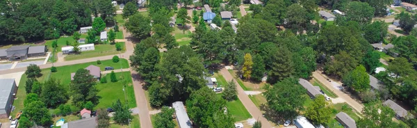
Panorama Low Density Housing Of Mobile Manufactured Homes Surrounding By Lush Green Trees Near Richland Westside Park, Suburb Jackson, Mississippi, US Large Lot Size. Aerial View Trailer Neighborhood

Image, 4.51MB, 3999 × 1229 jpg
stock vector South Carolina counties, gray political map with borders and county names. State in the Southeastern region of the United States, subdivided into 46 counties. Nicknamed The Palmetto State. Vector

South Carolina Counties, Gray Political Map With Borders And County Names. State In The Southeastern Region Of The United States, Subdivided Into 46 Counties. Nicknamed The Palmetto State. Vector

Vector, 2.76MB, 7200 × 6000 eps
stock vector The Montana State county map with labels

The Montana State County Map With Labels

Vector, 9.08MB, 5000 × 3200 eps
stock vector The black and white Louisiana State County Maps

The Black And White Louisiana State County Maps

Vector, 8.32MB, 3504 × 6204 eps
Previous << Page 2 >> Next