photo free
Home Images Vectors Videos

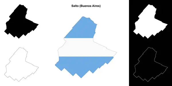
Stock image Salto Contour Map

stock vector Uruguay detailed vector map  with country borders, county names, main roads and a highly detailed state silhouette.

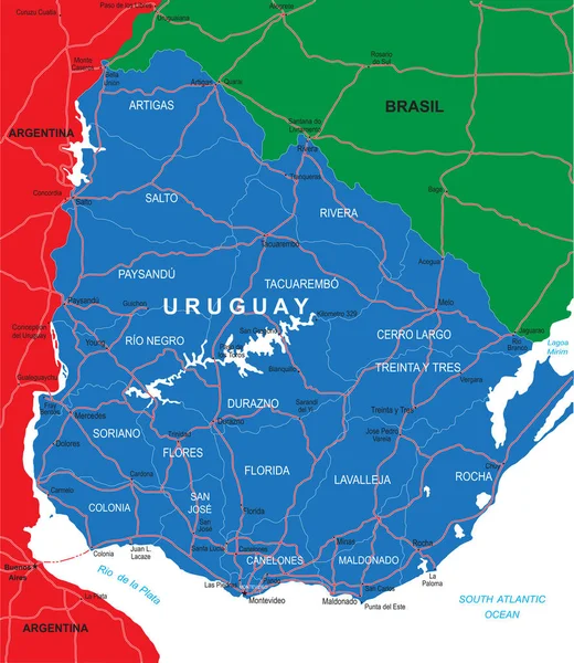
Uruguay Detailed Vector Map With Country Borders, County Names, Main Roads And A Highly Detailed State Silhouette.

Vector, 1.42MB, 4335 × 5000 eps
stock vector High detailed political map of Uruguay with regions and their capitals. Vector illustration eps 10.

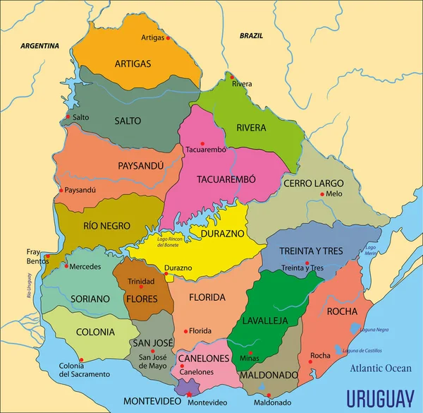
High Detailed Political Map Of Uruguay With Regions And Their Capitals. Vector Illustration Eps 10.

Vector, 3.82MB, 7165 × 7000 eps
stock vector Uruguay map, black and white detailed outline regions of the country. Vector illustration

Uruguay Map, Black And White Detailed Outline Regions Of The Country. Vector Illustration

Vector, 0.9MB, 5257 × 6079 eps
stock vector Salto department (Buenos Aires) outline map set

Salto Department (Buenos Aires) Outline Map Set

Vector, 0.25MB, 6000 × 3000 eps
Page 1 >> Next