
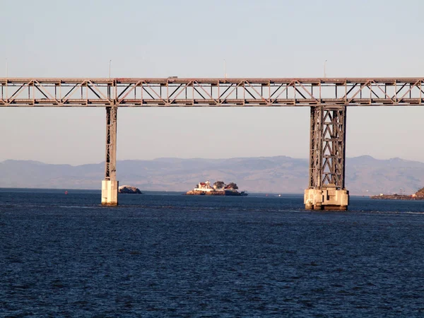
Stock image San Pablo Bay
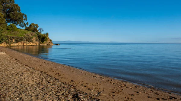
Beach At San Pablo Bay By China Camp State Park, Northern California, On A Typical Blue Sky Day With No Clouds
Image, 3.33MB, 5065 × 2849 jpg
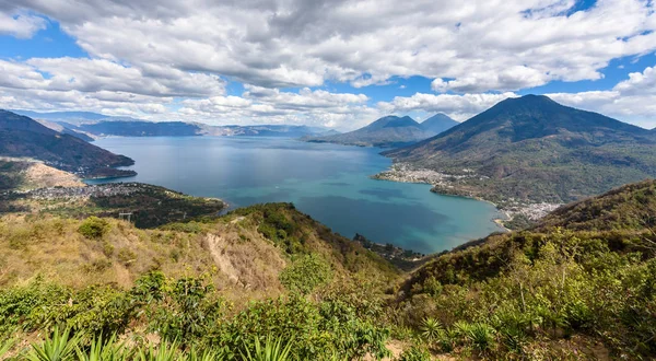
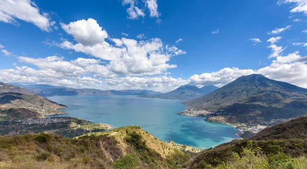
Panoramic View To Small Villages San Pedro, San Marcos, San Juan And Panajachel At Lake Atitlan In Highland Of Guatemala.
Image, 14.29MB, 6016 × 3311 jpg

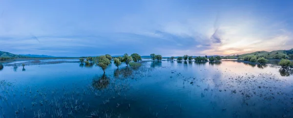
The San Pablo And Briones Reservoirs, East Of Berkeley And Oakland, Are Part Of A Complex Network Of Watersheds That Supply Water To The East Bay. This Area Is Popular For Hiking And Fishing.
Image, 10.38MB, 8000 × 2218 jpg
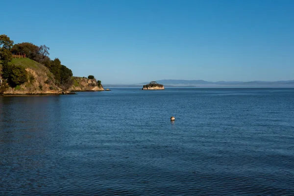
Rat Rock Little Island At San Pablo Bay Near China Camp In San Rafael Marin County, Northern California, On A Cloudless Day With Blue Sky
Image, 2.11MB, 4692 × 3132 jpg
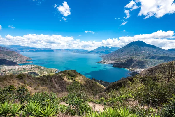
Panoramic View To Small Villages San Pedro, San Marcos, San Juan And Panajachel At Lake Atitlan In Highland Of Guatemala.
Image, 17.16MB, 6016 × 4016 jpg

Panoramic View To Small Villages San Pedro, San Marcos, San Juan And Panajachel At Lake Atitlan In Highland Of Guatemala.
Image, 10.63MB, 6015 × 3323 jpg
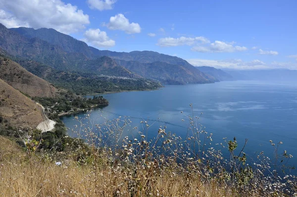
Viewpoint At Lake Atitlan With The Three Volcanos San Pedro, Atitlan And Toliman - You Can See The Small Villages San Pedro And San Juan At The Lake In The Highlands Of Guatemala
Image, 9.35MB, 4928 × 3264 jpg

The Last Light Of Day Illuminates The Peaceful Hills Of The East Bay, Just East Of Oakland, Berkeley, And El Cerrito In The San Francisco Bay Area.
Image, 10.63MB, 5400 × 3597 jpg

The Last Light Of Day Illuminates The Peaceful Hills Of The East Bay, Just East Of Oakland, Berkeley, And El Cerrito In The San Francisco Bay Area.
Image, 12.1MB, 5400 × 3597 jpg


San Francisco Bay Area, Region Of The U.S. State California, Gray Political Map With Counties And Largest Cities. Area That Surrounds And Include The San Francisco Bay, Which Is A Large Tidal Estuary.
Vector, 3.29MB, 6000 × 6000 eps

San Francisco Bay Area, A Region Of The U.S. State California, Political Map With Counties And Largest Cities. An Area That Surrounds And Include The San Francisco Bay, Which Is A Large Tidal Estuary.
Vector, 3.73MB, 6000 × 6000 eps
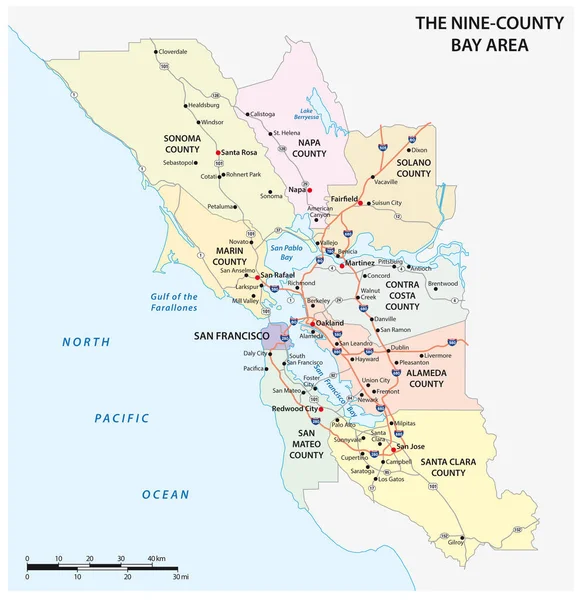
Administrative And Road Map Of The California Region San Francisco Bay Area
Vector, 1.55MB, 3100 × 3189 eps
Page 1 >> Next