photo free
Home Images Vectors Videos

Stock image Sangamon

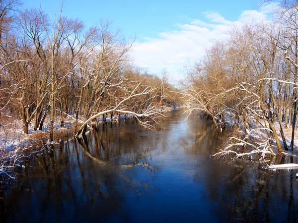
stock image Sangamon River Piatt County Illinois

Sangamon River Piatt County Illinois

Image, 5.58MB, 2900 × 2175 jpg
stock vector Illinois, U.S. state subdivided into 102 counties, gray political map with borders and county names. State in the Midwestern region of USA. Land of Lincoln, Prairie State, and The Inland Empire State.

Illinois, U.S. State Subdivided Into 102 Counties, Gray Political Map With Borders And County Names. State In The Midwestern Region Of USA. Land Of Lincoln, Prairie State, And The Inland Empire State.

Vector, 1.88MB, 5390 × 9000 eps
stock vector Illinois, U.S. state subdivided into 102 counties, political map with borders and county names. State in the Midwestern region of the USA. Land of Lincoln, Prairie State, and The Inland Empire State.

Illinois, U.S. State Subdivided Into 102 Counties, Political Map With Borders And County Names. State In The Midwestern Region Of The USA. Land Of Lincoln, Prairie State, And The Inland Empire State.

Vector, 2.44MB, 6000 × 9000 eps
stock image Map of sangamon County in Illinois state on white background. single County map highlighted by black colour on Illinois map. UNITED STATES, US

Map Of Sangamon County In Illinois State On White Background. Single County Map Highlighted By Black Colour On Illinois Map. UNITED STATES, US

Image, 5.18MB, 8000 × 8000 jpg
stock image Sangamon River in central Illinois

Sangamon River In Central Illinois

Image, 6.03MB, 2900 × 2175 jpg
stock vector Flag of Springfield in Illinois, United States

Flag Of Springfield In Illinois, United States

Vector, 5.2MB, 8334 × 5534 eps
stock image Illinois State Capitol and Springfield skyline at sunset.

Illinois State Capitol And Springfield Skyline At Sunset.

Image, 12.59MB, 5443 × 3626 jpg
stock image Illinois State Capitol and Springfield skyline at sunset.

Illinois State Capitol And Springfield Skyline At Sunset.

Image, 16.82MB, 8702 × 3840 jpg
Page 1 >> Next