
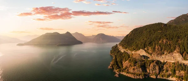
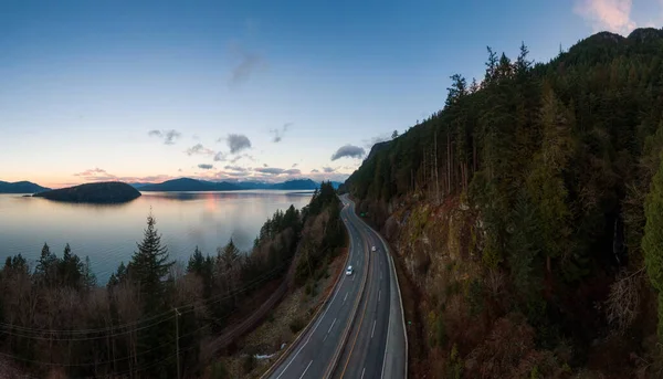
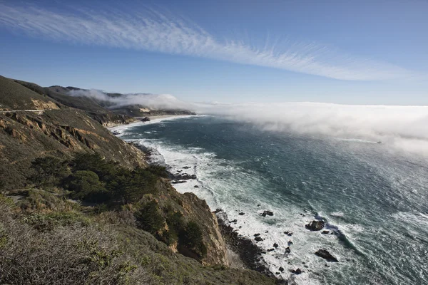
Stock image Sea To Sky Hwy
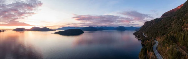
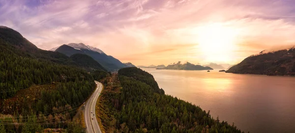
Sea To Sky Hwy In Howe Sound Near Horseshoe Bay, West Vancouver, British Columbia, Canada. Aerial Panoramic View During A Colorful Sunset In Fall Season.
Image, 10.34MB, 9232 × 2927 jpg
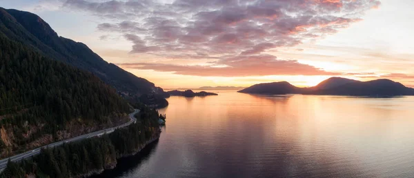
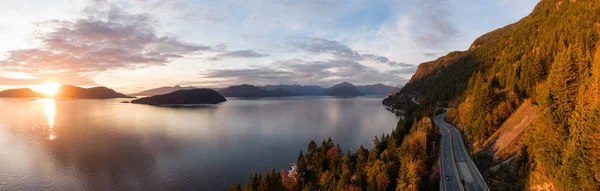
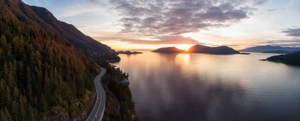
Sea To Sky Hwy In Howe Sound Near Horseshoe Bay, West Vancouver, British Columbia, Canada. Aerial Panoramic View During A Colorful Sunset In Fall Season.
Image, 7.96MB, 6839 × 2946 jpg
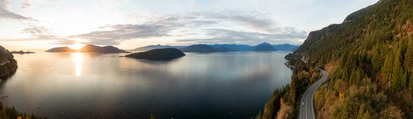
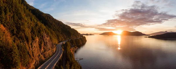
Sea To Sky Hwy In Howe Sound Near Horseshoe Bay, West Vancouver, British Columbia, Canada. Aerial Panoramic View During A Colorful Sunset In Fall Season.
Image, 13.95MB, 10199 × 2951 jpg
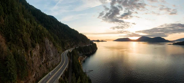
Sea To Sky Hwy In Howe Sound Near Horseshoe Bay, West Vancouver, British Columbia, Canada. Aerial Panoramic View During A Colorful Sunset In Fall Season.
Image, 8.37MB, 6430 × 2914 jpg

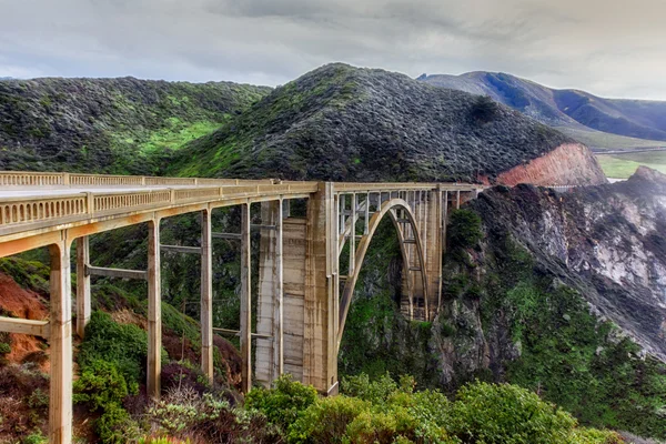
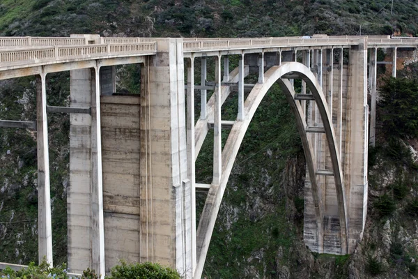
Beautiful Wide Shot Of The Bixby Bridge Of California Near Sea During A Starry Night Sky
Image, 23.33MB, 6720 × 4480 jpg

Sea To Sky Hwy In Howe Sound Near Horseshoe Bay, West Vancouver, British Columbia, Canada. Aerial Panoramic View During A Colorful Sunset In Fall Season.
Image, 14.87MB, 9198 × 2927 jpg
Sea To Sky Hwy In Howe Sound Near Horseshoe Bay, West Vancouver, British Columbia, Canada. Aerial Panoramic View During A Colorful Sunset In Fall Season.
Image, 11.47MB, 7372 × 2932 jpg

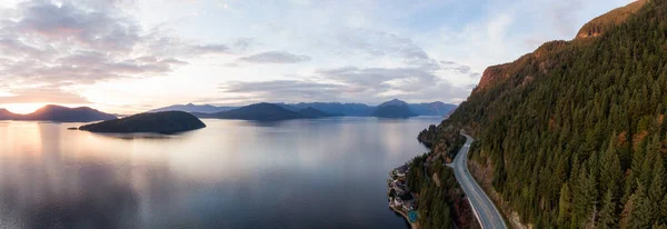
Sea To Sky Hwy In Howe Sound Near Horseshoe Bay, West Vancouver, British Columbia, Canada. Aerial Panoramic View During A Colorful Sunrise In Winter Season. Panorama
Image, 26.4MB, 13235 × 6427 jpg

Sea To Sky Hwy In Howe Sound Near Horseshoe Bay, West Vancouver, British Columbia, Canada. Aerial Panoramic View During A Colorful Sunset In Fall Season.
Image, 8.24MB, 7137 × 2918 jpg
Sea To Sky Hwy In Howe Sound Near Horseshoe Bay, West Vancouver, British Columbia, Canada. Aerial Panoramic View During A Colorful Sunset In Fall Season.
Image, 10.64MB, 8482 × 2918 jpg

Sea To Sky Hwy In Howe Sound Near Horseshoe Bay, West Vancouver, British Columbia, Canada. Aerial Panoramic View During A Colorful Sunrise In Winter Season. Panorama
Image, 16.73MB, 9671 × 5539 jpg
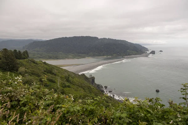

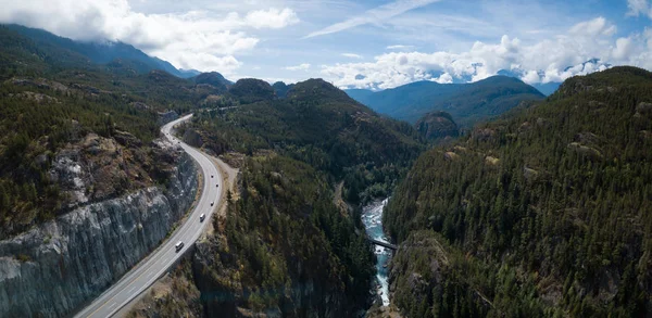
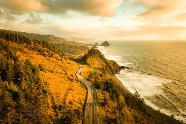
Aerial Panoramic Landscape View Of Howe Sound And Sea To Sky Highway. Taken North Of Vancouver, British Columbia, Canada, During A Sunny Summer Day.
Image, 8.98MB, 6883 × 2976 jpg
Sea To Sky Hwy In Howe Sound Near Horseshoe Bay, West Vancouver, British Columbia, Canada. Aerial Panoramic View During A Colorful Sunset In Fall Season.
Image, 9.08MB, 7296 × 2949 jpg


Aerial View Of Squamish, British Columbia, Canada, During A Cloudy Winter Morning.
Image, 7.24MB, 5384 × 3589 jpg


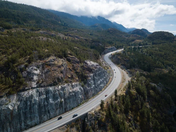


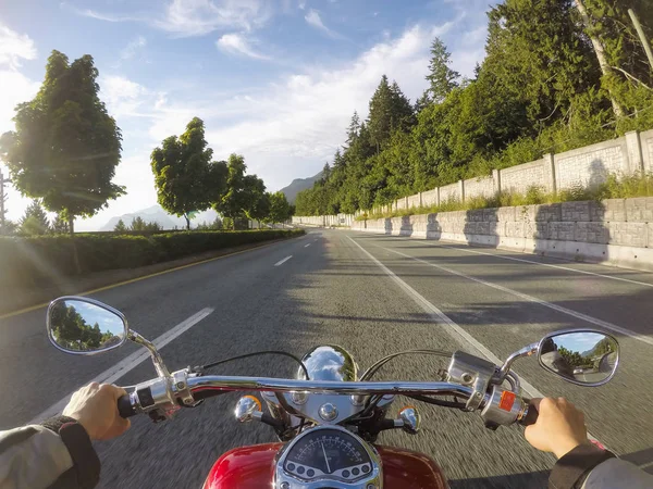
Riding A Cruiser Motorcycle On Sea To Sky Highway From Vancouver To Squamish, British Columbia, Canada. Taken During A Sunny Summer Day.
Image, 5.93MB, 4000 × 3000 jpg

Page 1 >> Next