photo free
Home Images Vectors Videos

Stock image Siargao Map

stock vector Siargao map Map of the island with beautiful geometric waves in red blue colors Vivid Siargao

Siargao Map Map Of The Island With Beautiful Geometric Waves In Red Blue Colors Vivid Siargao

Vector, 0.38MB, 4651 × 6456 eps
stock vector Set of vector polygonal Siargao maps filled with bright gradient of low poly art.

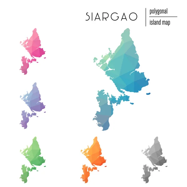
Set Of Vector Polygonal Siargao Maps Filled With Bright Gradient Of Low Poly Art.

Vector, 0.77MB, 8333 × 8333 eps
stock image Siargao Island in the Philippine Sea, belonging to Philippines, isolated on a bilevel elevation map, with distance scale

Siargao Island In The Philippine Sea, Belonging To Philippines, Isolated On A Bilevel Elevation Map, With Distance Scale

Image, 0.53MB, 2160 × 2160 jpg
stock image Siargao Island in the Philippine Sea on a satellite image taken in July 25, 2021

Siargao Island In The Philippine Sea On A Satellite Image Taken In July 25, 2021

Image, 5.11MB, 2880 × 1620 jpg
stock image Siargao Island in the Philippine Sea, belonging to Philippines, isolated on a topographic, OSM Humanitarian style map, with distance scale

Siargao Island In The Philippine Sea, Belonging To Philippines, Isolated On A Topographic, OSM Humanitarian Style Map, With Distance Scale

Image, 0.7MB, 2160 × 2160 jpg
stock image Siargao Island in the Philippine Sea, belonging to Philippines, isolated on a satellite image taken in August 10, 2019, with distance scale

Siargao Island In The Philippine Sea, Belonging To Philippines, Isolated On A Satellite Image Taken In August 10, 2019, With Distance Scale

Image, 1.27MB, 2160 × 2160 jpg
stock image Siargao Island in the Philippine Sea on a topographic, OSM Humanitarian style map

Siargao Island In The Philippine Sea On A Topographic, OSM Humanitarian Style Map

Image, 1.13MB, 2880 × 1620 jpg
stock image Siargao Island in the Philippine Sea - belonging to Philippines. Described location diagram with yellow shape of the island and sample maps of its surroundings

Siargao Island In The Philippine Sea - Belonging To Philippines. Described Location Diagram With Yellow Shape Of The Island And Sample Maps Of Its Surroundings

Image, 2.44MB, 3840 × 2160 jpg
stock image Siargao Island in the Philippine Sea on a colored elevation map

Siargao Island In The Philippine Sea On A Colored Elevation Map

Image, 1.6MB, 2880 × 1620 jpg
Page 1 >> Next