
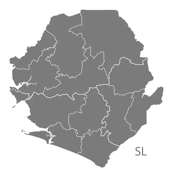
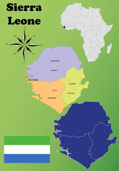
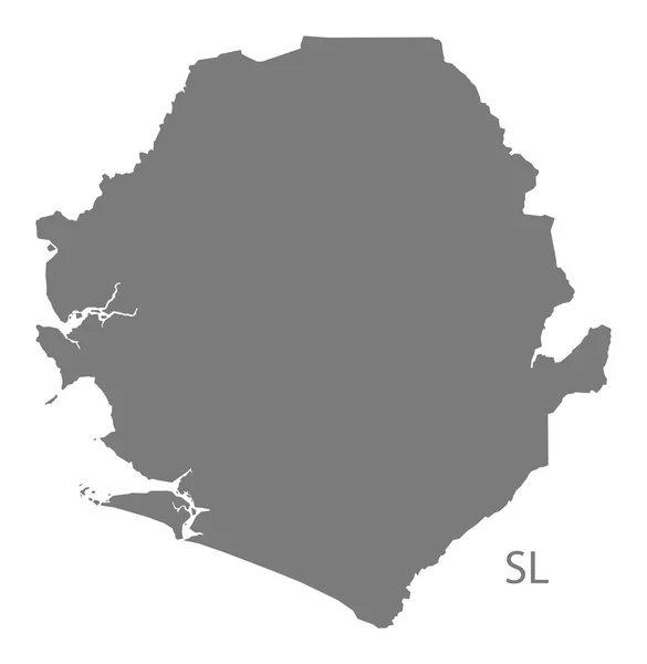
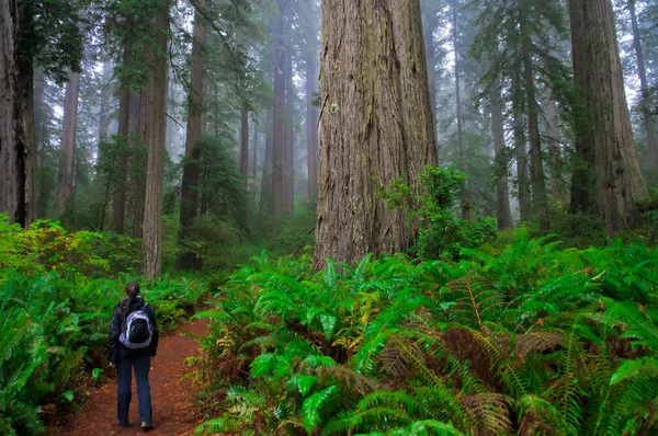
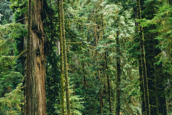
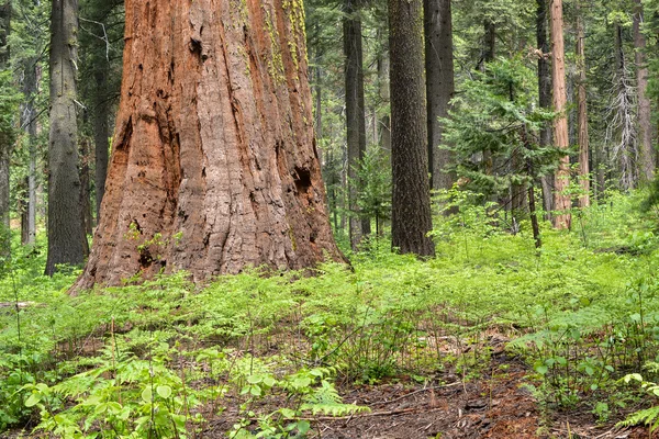
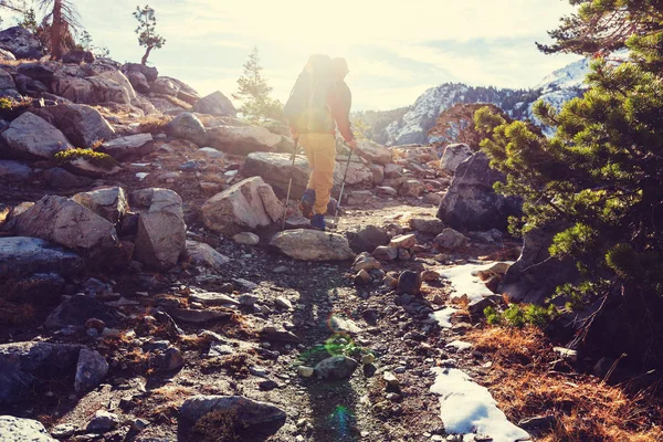
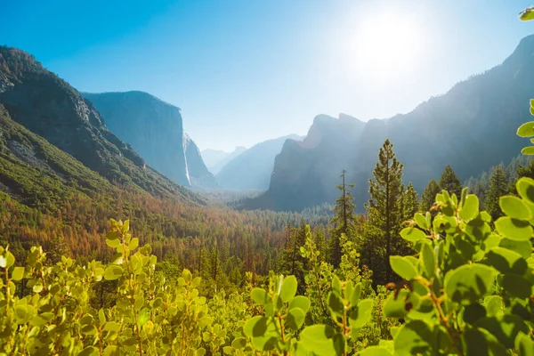
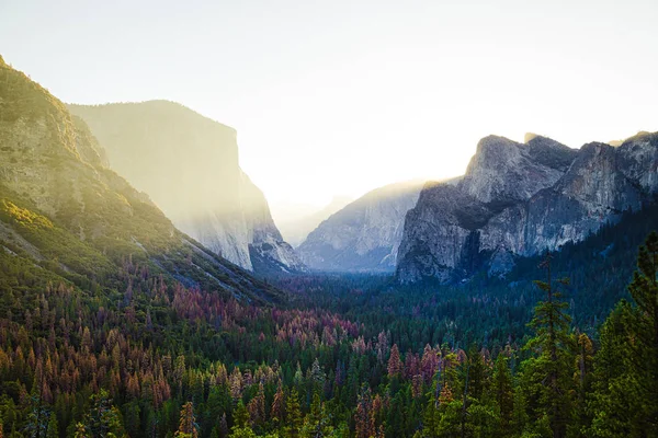
Stock image Sierra County


Santa Cruz Department (Plurinational State Of Bolivia, Departments Of Bolivia) Map Vector Illustration, Scribble Sketch Santa Cruz Ma
Vector, 1.24MB, 7087 × 4726 eps


WPA Poster Art Of Phipps Peak In The Sierra Nevada West Of Emerald Bay And Lake Tahoe In El Dorado County And The Desolation Wilderness, California, USA Done In Works Project Administration Style.
Vector, 0.83MB, 3825 × 4950 eps


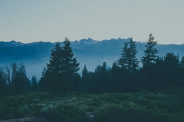
Wide Angle View At Dusk At Minaret Vista In Mammoth Lakes California, Looking Out To The San Joaquin Ridge
Image, 9.02MB, 6000 × 4000 jpg


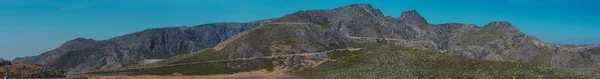
View Of Twin Lakes, Lake George, The Southeastern Slope Of Mammoth Mountain, Mono County, Eastern California, Eastern Sierra Nevada, Inyo National Forest, Shot From Drone, Summer Vie
Image, 7.12MB, 6144 × 2158 jpg


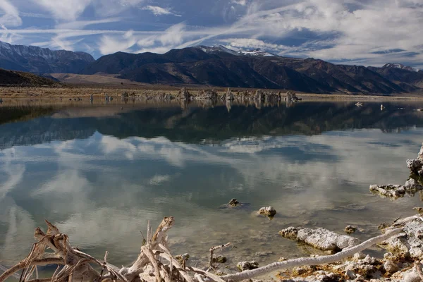
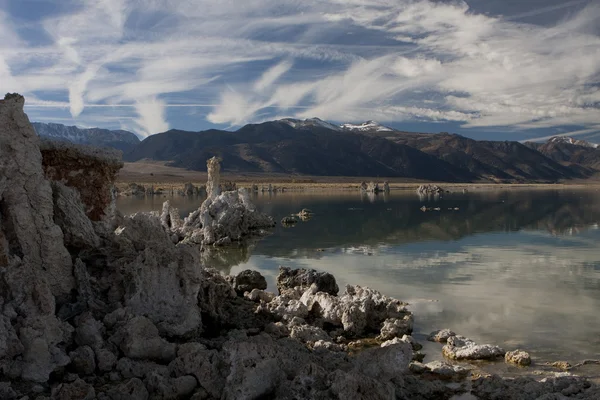
Mounds Of The Natural Formation Of Tufa With The Sierra Nevada Mountains In The Background At Mono Lake In California, USA
Image, 10.61MB, 7360 × 4912 jpg


African Countries Map In Typography Word Cloud Concept, Names Of Countries
Vector, 3MB, 5000 × 3750 eps


View Of Twin Lakes, Lake George, The Southeastern Slope Of Mammoth Mountain, Mono County, Eastern California, Eastern Sierra Nevada, Inyo National Forest, Shot From Drone, Summer Vie
Image, 4.62MB, 4048 × 3032 jpg

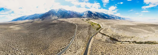
View Of Lone Pine Peak, East Side Of The Sierra Nevada Range, The Town Of Lone Pine, California, Inyo County, United States Of America, John Muir Wilderness, Inyo National Forest, Shot From Dron
Image, 7.44MB, 6144 × 2144 jpg


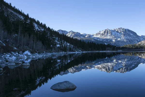
Giant Rock On The Shore Of June Lake In California In The Sierra Nevada Mountains
Image, 17.3MB, 5338 × 3559 jpg

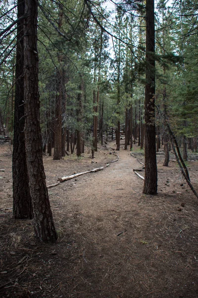
Jeffrey Pine Trees Forest On Mammoth Scenic Loop Road In Mammoth Lakes, California Along The Inyo Craters Trail
Image, 15.55MB, 3559 × 5338 jpg
Page 1 >> Next