
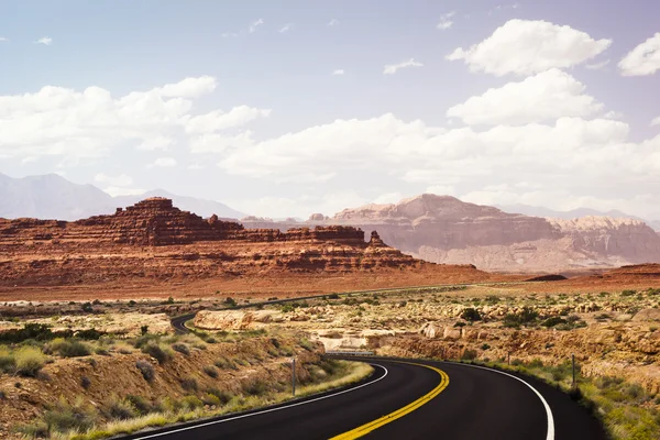
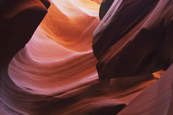
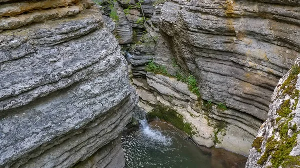
Stock image Slickrock


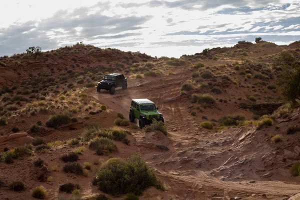
MOAB, UNITED STATES - Aug 02, 2020: A Weekend In Moab, UT Driving Jeeps Offroad.
Image, 18.49MB, 6000 × 4000 jpg
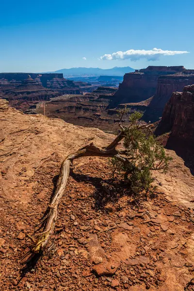
The Shafer Canyon Area Of The Island In The Sky District Of Canyonlands National Park In Utah USA.
Image, 18.93MB, 4887 × 7331 jpg
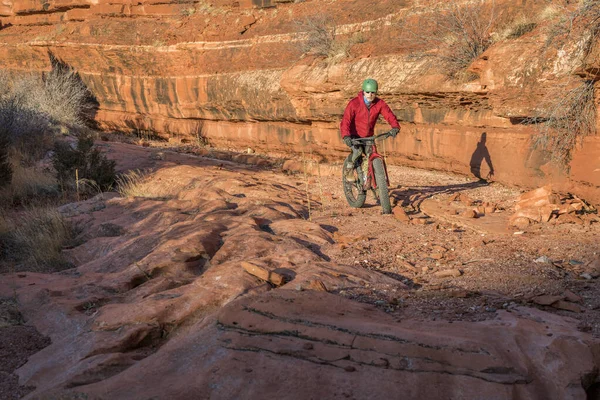
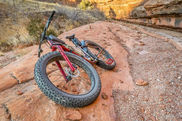
Riding A Fat Mountain Bike On A Slickrock At The Sandstone Canyon Bottom - Ruby Wash In Red Mountain Open Space North Of Fort Collins, Colorado
Image, 18.25MB, 5600 × 3735 jpg

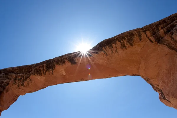
A Brown Metal Sign Directs Hikers To The Main Trail In Arches National Park
Image, 5.14MB, 4928 × 3264 jpg

The Shafer Canyon Area Of The Island In The Sky District Of Canyonlands National Park In Utah USA.
Image, 26.55MB, 8150 × 5433 jpg


The Desert Area Of The Island In The Sky District Of Canyonlands National Park In Utah USA.
Image, 19.88MB, 7274 × 4546 jpg

The Shafer Canyon Area Of The Island In The Sky District Of Canyonlands National Park In Utah USA.
Image, 31.11MB, 5504 × 8256 jpg

The Shafer Canyon Area Of The Island In The Sky District Of Canyonlands National Park In Utah USA.
Image, 34.97MB, 8256 × 5504 jpg

A Fisheye Shot Of A Warning Sign Along A Primitive Trail In A Desert Park In Utah
Image, 6.39MB, 4782 × 3167 jpg


The Desert Area Of Red Cliffs Of The Island In The Sky District Of Canyonlands National Park In Utah USA.
Image, 23.94MB, 7717 × 5145 jpg


Page 1 >> Next