
Stock image States Lane

States Lane (Alameda Dos Estados) - Brasilia, Distrito Federal, Brazil
Image, 10.66MB, 6000 × 4000 jpg


Isle Royale National Park Vector Patch Logo Design, United States National Park Emblem Design
Vector, 7.12MB, 5000 × 5000 eps


Saint Paul Minnesota USA City Map In Retro Style. Outline Map. Vector Illustration.
Vector, 2.1MB, 8150 × 4702 eps


Montpellier USA City Map In Retro Style In Golden Color. Outline Map. Vector Illustration.
Vector, 0.99MB, 8150 × 4702 eps
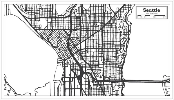
Seattle USA City Map In Retro Style. Outline Map. Vector Illustration.
Vector, 1.85MB, 8150 × 4702 eps


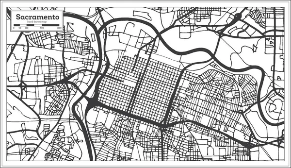
Sacramento California USA City Map In Retro Style. Outline Map. Vector Illustration.
Vector, 2.59MB, 8150 × 4702 eps
Rochester USA City Map In Black And White Color In Retro Style. Outline Map. Vector Illustration.
Vector, 3.94MB, 8150 × 4702 eps

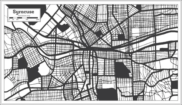
Syracuse USA City Map In Black And White Color In Retro Style. Outline Map. Vector Illustration.
Vector, 3.11MB, 8150 × 4702 eps

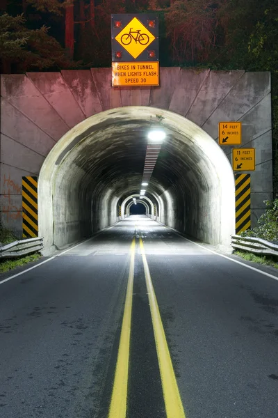
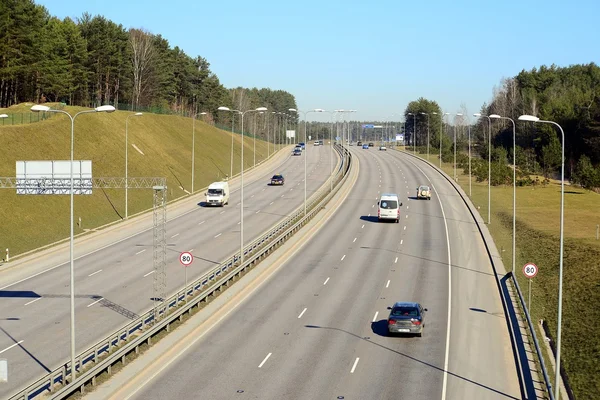
Road Tunnel Through Mountain Coastal Highway 101 Oregon Territory USA
Image, 14.64MB, 4032 × 6048 jpg


Vector City Map Of Washington, D.C. With Well Organized Separated Layers.
Vector, 11.48MB, 4217 × 2811 eps


The Goodpasture Bridge Spans The McKenzie River Near The Community Of Vida In Lane County, Oregon, United States. It Is The Second Longest Covered Bridge And One Of The Most Photographed Covered Bridges In The State. The Goodpasture Bridge Is Listed
Image, 19.82MB, 5472 × 3648 jpg
Page 1 >> Next