
Stock image Surveying And Alignment

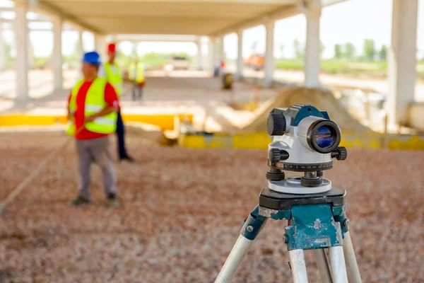
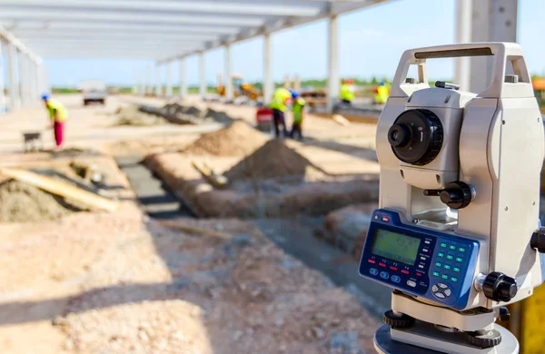
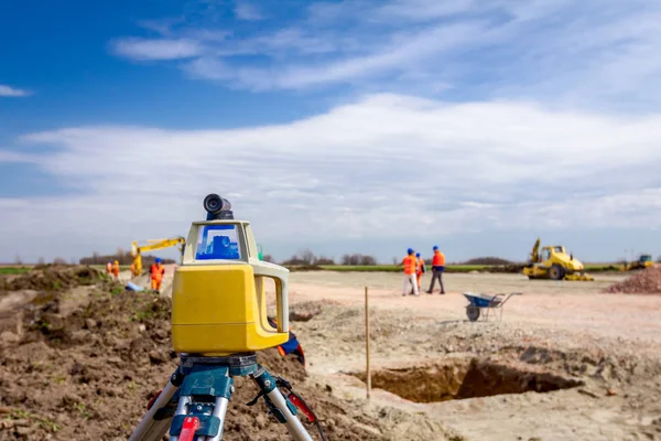
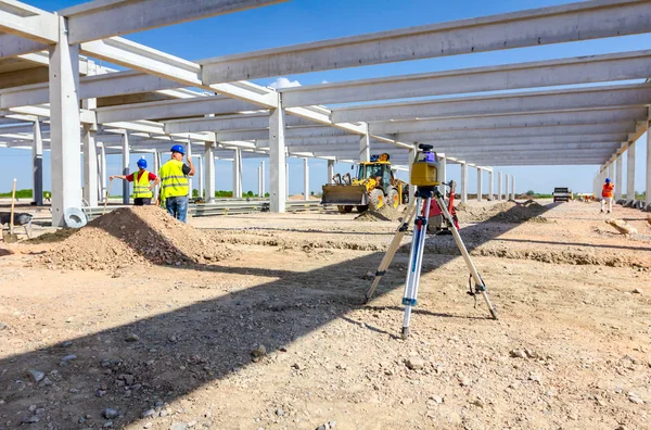
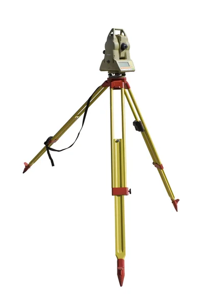
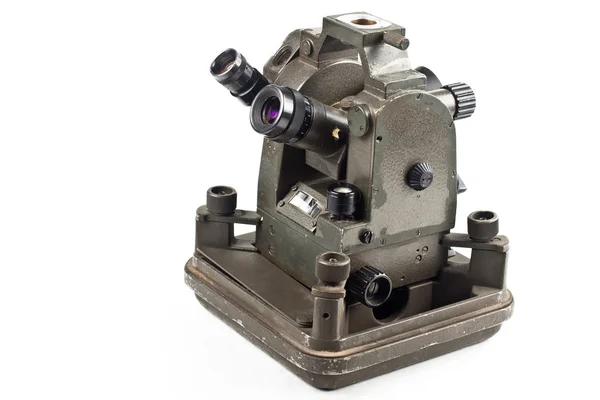
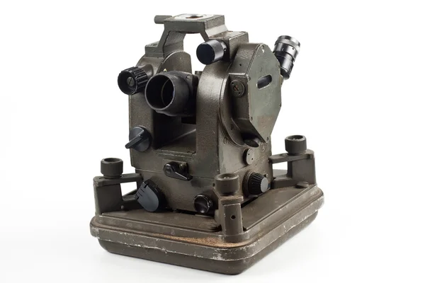
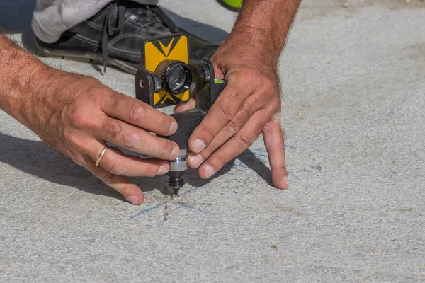
Surveyor Instrument Is For Measuring Level On Construction Site. Surveyors Ensure Precise Measurements Before Undertaking Large Construction Projects.
Image, 6.22MB, 5184 × 3456 jpg


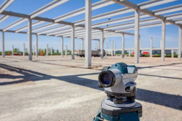
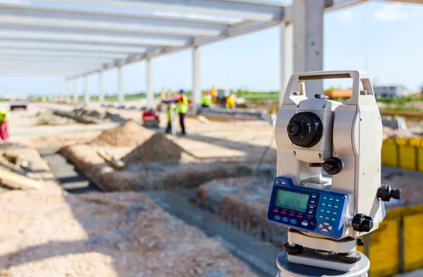
Surveyor Instrument Is For Measuring Level On Construction Site. Surveyors Ensure Precise Measurements Before Undertaking Large Construction Projects.
Image, 8.17MB, 5184 × 3456 jpg

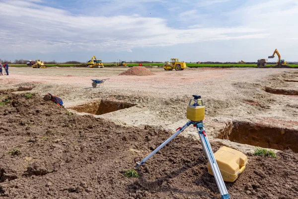
Foundation Pouring. Level For The Foundation. Alignment Of The Foundation Along The Horizon. Geodetic Work. Land Sales.
Image, 4.39MB, 3029 × 2014 jpg

Surveyor Instrument Is For Measuring Level On Construction Site. Surveyors Ensure Precise Measurements Before Undertaking Large Construction Projects.
Image, 6.16MB, 5184 × 3456 jpg
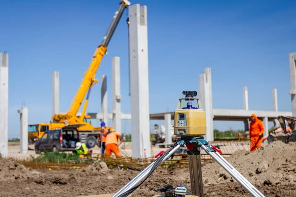
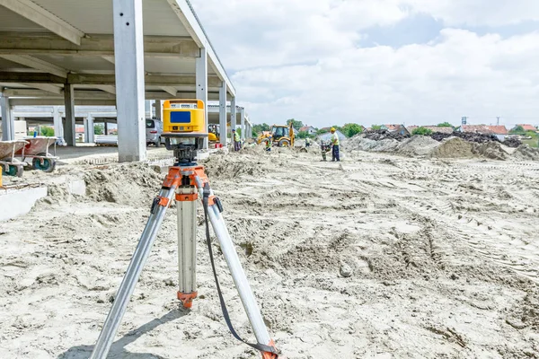
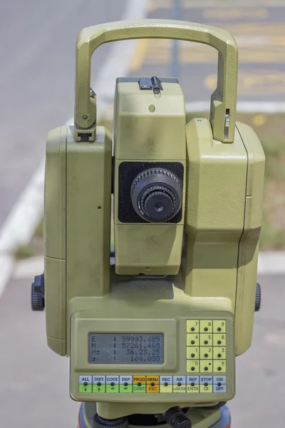
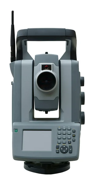
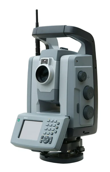
Total Center Device With Laser For Leveling Other Devices To Level Construction Site.
Image, 7.1MB, 5184 × 3456 jpg

Surveyor Instrument Is For Measuring Level On Construction Site. Surveyors Ensure Precise Measurements Before Undertaking Large Construction Projects.
Image, 6.4MB, 5184 × 3456 jpg
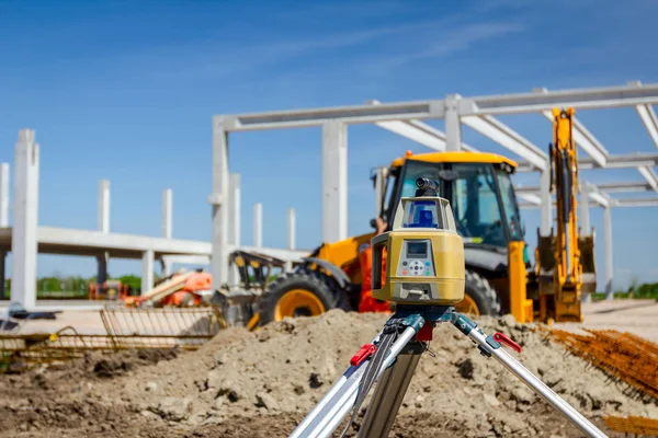
Total Center Device With Laser For Leveling Other Devices To Level Construction Site.
Image, 7.27MB, 5184 × 3456 jpg

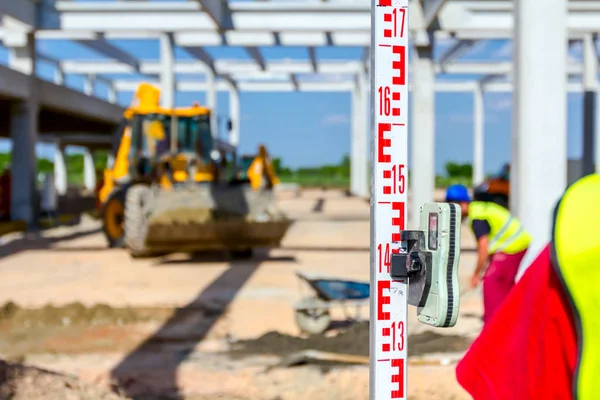
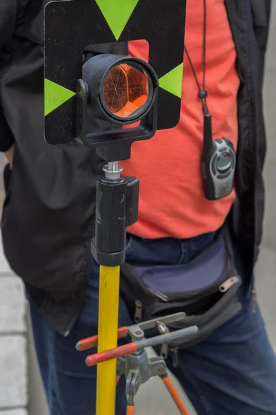
Construction Worker Is Holding Leveling Rod To Help Surveyor, Geodesist To Measure Position, Depth.
Image, 7.95MB, 5184 × 3456 jpg

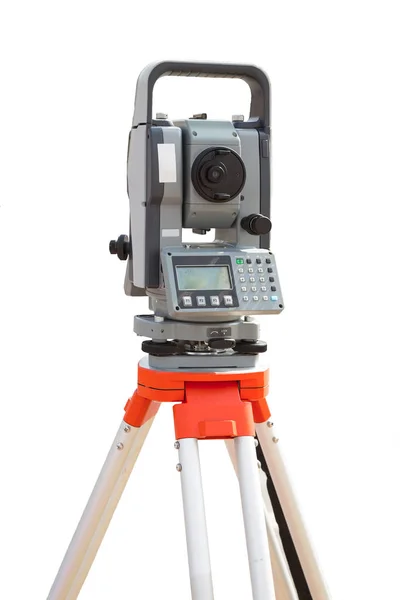
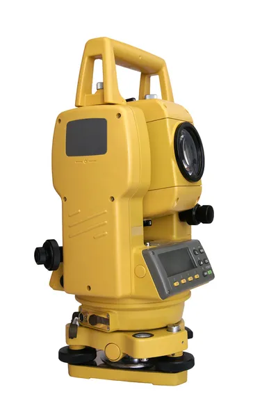
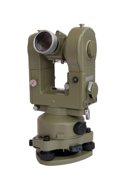
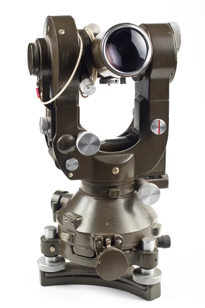
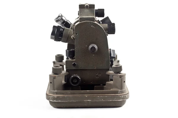
Civil Engineer's Instrument, Theodolite, Equipment For Land Surveying.
Image, 10.44MB, 5184 × 3456 jpg
Total Center Device With Laser For Leveling Other Devices To Level Construction Site.
Image, 11.32MB, 5184 × 3456 jpg


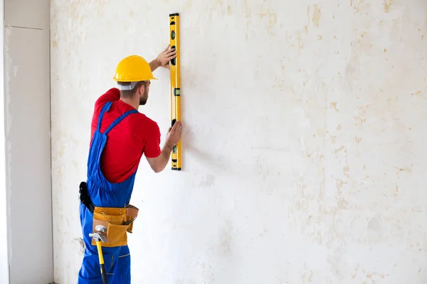
Construction Worker Observing And Surveying Wall Alignment Using Water Level
Image, 8.9MB, 5760 × 3840 jpg


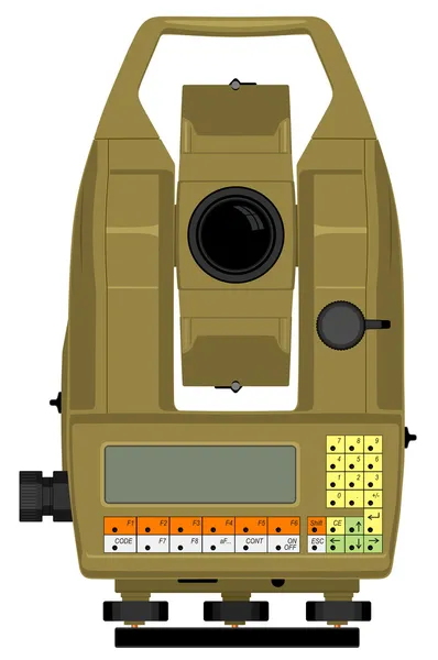
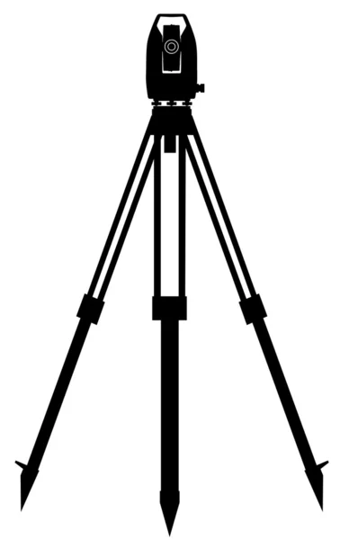
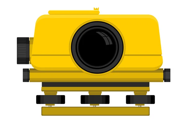
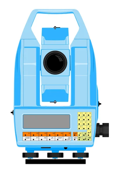
Vector Illustration Of Digital Geodetic Instrument For Precise Angles And Distance Measurement
Vector, 0.52MB, 3325 × 5000 eps
Page 1 >> Next