
Stock image Takla Makan
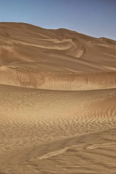
Moving Sand Dunes Cover The Surface Of The Taklamakan Desert Forming Chains Of These Eolian Topographic Forms-some Of Them Reaching Up To 300 Ms.high. Yutian Keriya County-Xinjiang Uyghur Region-China
Image, 10.84MB, 3400 × 5100 jpg
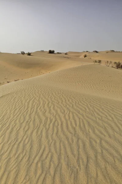
Shifting Sand Dunes-nitre Bushes-Takla Makan Desert. Hotan Prefecture-Xinjiang Uyghur Region-China-0009
Image, 18.08MB, 3400 × 5100 jpg

Landscape Of Dunes In The Takla Makan (Taklamakan Or Taklimakan) Desert, Xinjiang Uygur Autonomous Region, October 25, 2007
Image, 2.35MB, 3888 × 2592 jpg

Diffused Sunrise Light-Taklamakan Shifting Dunes Along 233 Prov.Road Between Shamo Expwy.and 315 Nnal.Road Running N.and E.across The Desert. Qiemo Cherchen-Bayingolin Pref.-Xinjiang Uyghur Reg.-China
Image, 10.71MB, 3000 × 4500 jpg
Moving Sand Dunes Cover The Surface Of The Taklamakan Desert Forming Chains Of These Eolian Topographic Forms-some Of Them Reaching Up To 300 Ms.high. Yutian Keriya County-Xinjiang Uyghur Region-China
Image, 11.68MB, 5100 × 3400 jpg
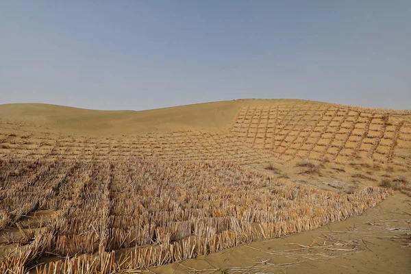
Straw Checkerboard Sand Control Barriers. Hotan Prefecture-Xinjiang Uyghur Region-China-0002
Image, 16.86MB, 5100 × 3400 jpg
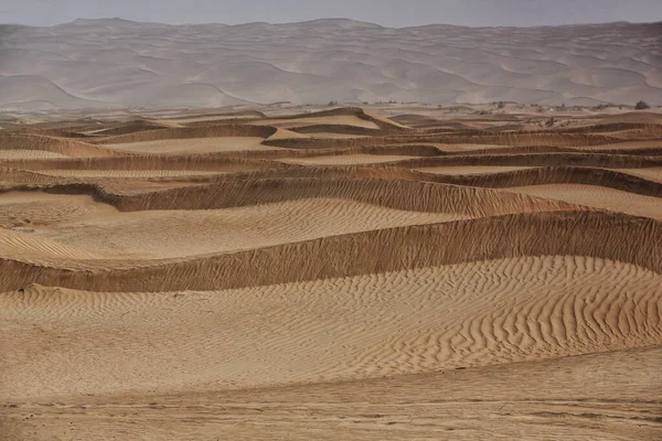
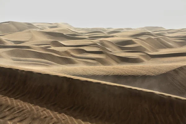
Diffused Light Of Morning Over Chains Of Moving Sand Dunes Covering The Surface Of The Taklamakan Desert Some Of Them Reaching Up To 300 Ms.high. Qiemo Cherchen County-Xinjiang Uyghur Region-China.
Image, 16.87MB, 5100 × 3400 jpg

Keriya County, China-October 5, 2017: Car-pushing Drivers Unstuck A Green Off-road Car For Touristic Service Stuck In Sand While Driving Through The Treacherous Loose Dunes Of The Taklamakan Desert.
Image, 11.75MB, 5100 × 3400 jpg
Early Morning Light Over Chains Of Barchans-moving Sand Dunes Covering The Surface Of The Taklamakan Desert Some Of Them Reaching Up To 300 Ms.high. Qiemo Cherchen County-Xinjiang Uyghur Region-China.
Image, 8.09MB, 5100 × 3400 jpg
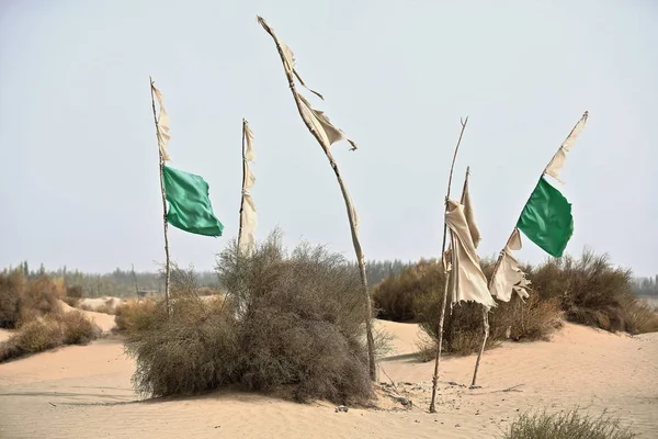
Votive Flags On Burial Mounds Mark The Sufi Mystic Imam Asim's Mazar-masoleum Area Among Windswept Sand Dunes At The Edge Of The Taklamakan Desert. Hotan City-Xinjiang Uyghur Autonomous Region-China.
Image, 8.06MB, 4500 × 3000 jpg
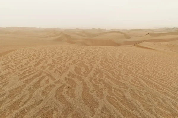
Moving Sand Dunes Cover The Surface Of The Taklamakan Desert Forming Chains Of These Eolian Topographic Forms-some Of Them Reaching Up To 300 Ms.high. Yutian Keriya County-Xinjiang Uyghur Region-China
Image, 13.63MB, 3400 × 5100 jpg

Ruins Of Rawak Stupa And Vihara-Taklamakan Desert. Xinjiang Uyghur Region-China-0030
Image, 10.4MB, 4500 × 3000 jpg
Page 1 >> Next