
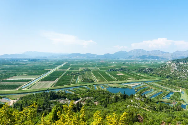
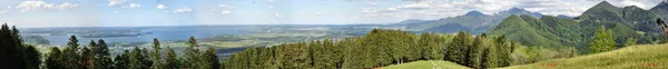
Stock image Tanah Datar


Small Town Of Sommerville, And Lyons, Texas In Between Austin And Houston
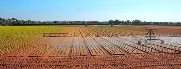
Image, 8.67MB, 4000 × 3000 jpg


Small Town Of Sommerville, And Lyons, Texas In Between Austin And Houston
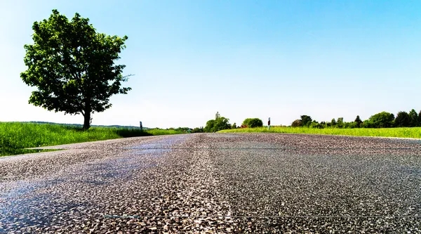
Image, 8.77MB, 4000 × 3000 jpg


Aerial Of The Small Rural Town Of Sommerville, Texas Next In Between Houston, And Austin
Image, 8.97MB, 3996 × 2997 jpg

Small Town Of Sommerville, And Lyons, Texas In Between Austin And Houston
Image, 8.26MB, 4000 × 3000 jpg

Aerial Of The Small Rural Town Of Sommerville, Texas Next In Between Houston, And Austin
Image, 9.27MB, 4000 × 3000 jpg

Aerial Of The Small Rural Town Of Sommerville, Texas Next In Between Houston, And Austin
Image, 8.46MB, 4000 × 3000 jpg

Burgundy Valley, With The La Vandenesse Waterway, Seen From The Town Of Chateauneuf En Auxois
Image, 8.96MB, 4288 × 2848 jpg

Aerial Of The Small Rural Town Of Sommerville, Texas Next In Between Houston, And Austin
Image, 7.34MB, 3989 × 2992 jpg

Aerial Of The Small Rural Town Of Sommerville, Texas Next In Between Houston, And Austin
Image, 8.26MB, 3989 × 2992 jpg

Straight Bicycle Path Over The Dike Along The Veluwemeer Under Blue Sky Near The Town Of Nijkerk In The Netherlands
Image, 15.59MB, 6000 × 3375 jpg

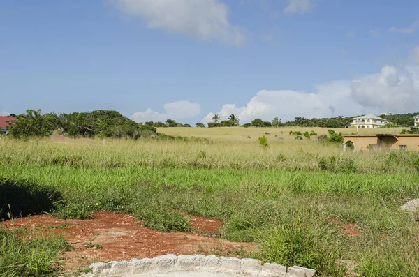
DENGKIL, MALAYSIA - DEC 20, 2021: Areal View Of Dengkil District From Flooding That Causes Damage Of The Infrastructure And Housing Area. Selective Focus, Contains Dust And Grain
Image, 7.29MB, 3992 × 2242 jpg
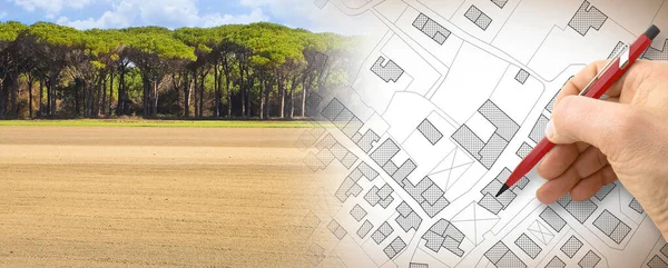
From Nature To A New City - Concept With A Vacant Land In A Rural Scene That Fades On The Map Of An Imaginary City Map With Buildings - Nature Becomes A City
Image, 18.66MB, 7872 × 3168 jpg

Countryside In The Ticino River Natural Park During Winter Before Sunset
Image, 17.88MB, 6016 × 4000 jpg
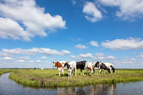
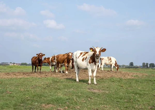
Cow At The Bank Of A Creek, Typical Landscape Of Holland, Flat Land And Water And On The Horizon A Blue Sky With White Clouds.
Image, 17.96MB, 6689 × 4459 jpg
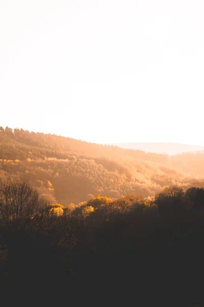
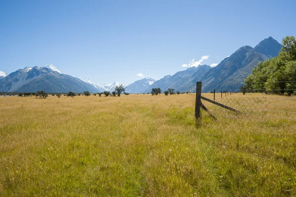
Beautiful Shot Of Brown Trees And Greenery On Hills And Mountains In The Countryside At Sunset
Image, 5.39MB, 3596 × 5394 jpg
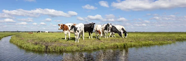
Cow At The Bank Of A Creek, Typical Landscape Of Holland, Flat Land And Water And On The Horizon A Blue Sky With White Clouds.
Image, 14.52MB, 7892 × 2580 jpg
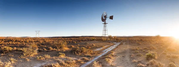
Close Up Image Of A Windpump / Windmill /windpomp Against A Bright Blue Sky In The Karoo Of South Africa
Image, 25.79MB, 9678 × 3673 jpg


This Is A Sparsely Populated Area Of Grassland Growing Guinea Grass Beneath The Blue Sky Of Scattered Clouds.
Image, 10MB, 4928 × 3264 jpg
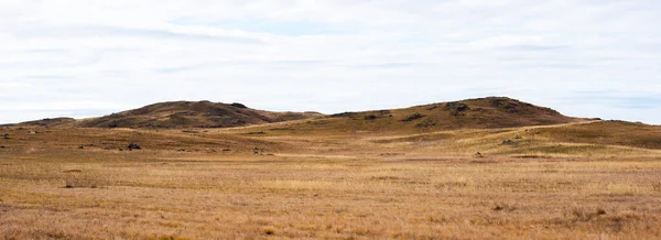
Tibet Plateau Scenery. Yellow Wild Grass Against The Background Of The Cloudy Sky. A Landscape View Of The Dry Hills. Amazing View Of A Desolate Plain On A Cloudy Day With Dry Grass In The Foreground.
Image, 7.21MB, 5798 × 2110 jpg


Drone View Vinkeveense Plassen Netherlands, Vinkeveen Aerial Autumn Bright Sky Beautiful Lake
Image, 14.56MB, 6792 × 3821 jpg


Drone View Vinkeveense Plassen Netherlands, Vinkeveen Aerial Autumn Bright Sky Beautiful Lake
Image, 8.71MB, 4048 × 3032 jpg

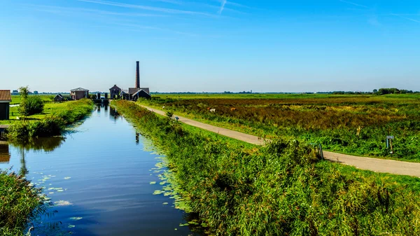
The Historic Nijkerk Pumping Station Or Nijkerk's Gemaal At Veluwemeer Under Blue Sky
Image, 15.36MB, 5285 × 2973 jpg
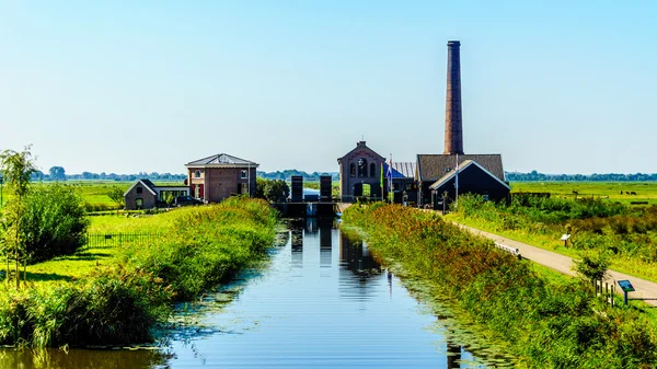
The Historic Nijkerk Pumping Station Or Nijkerk's Gemaal At Veluwemeer Under Blue Sky
Image, 15.87MB, 5829 × 3279 jpg


Lago-Naki Area In Adygea, Russia. Caucasus Nature Reserve. Edge Of The Lago-Naki Tableland. Climbing The Small Oshten Peak. 06/23/2016
Image, 6.63MB, 5456 × 3064 jpg
Page 1 >> Next